

© Tannheimer Tal - Tourismusverband Tannheimer Tal

© Tannheimer Tal - Tourismusverband Tannheimer Tal

© Tannheimer Tal - Tourismusverband Tannheimer Tal

© Tannheimer Tal - Tourismusverband Tannheimer Tal

© Tannheimer Tal - Tourismusverband Tannheimer Tal

© Tannheimer Tal - Tourismusverband Tannheimer Tal

© Tannheimer Tal - Tourismusverband Tannheimer Tal

© Tannheimer Tal - Tourismusverband Tannheimer Tal

© Ferienregion Tannheimer Tal

© Ferienregion Tannheimer Tal
- Descrizione rapida
-
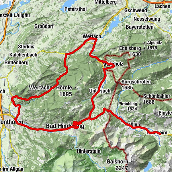
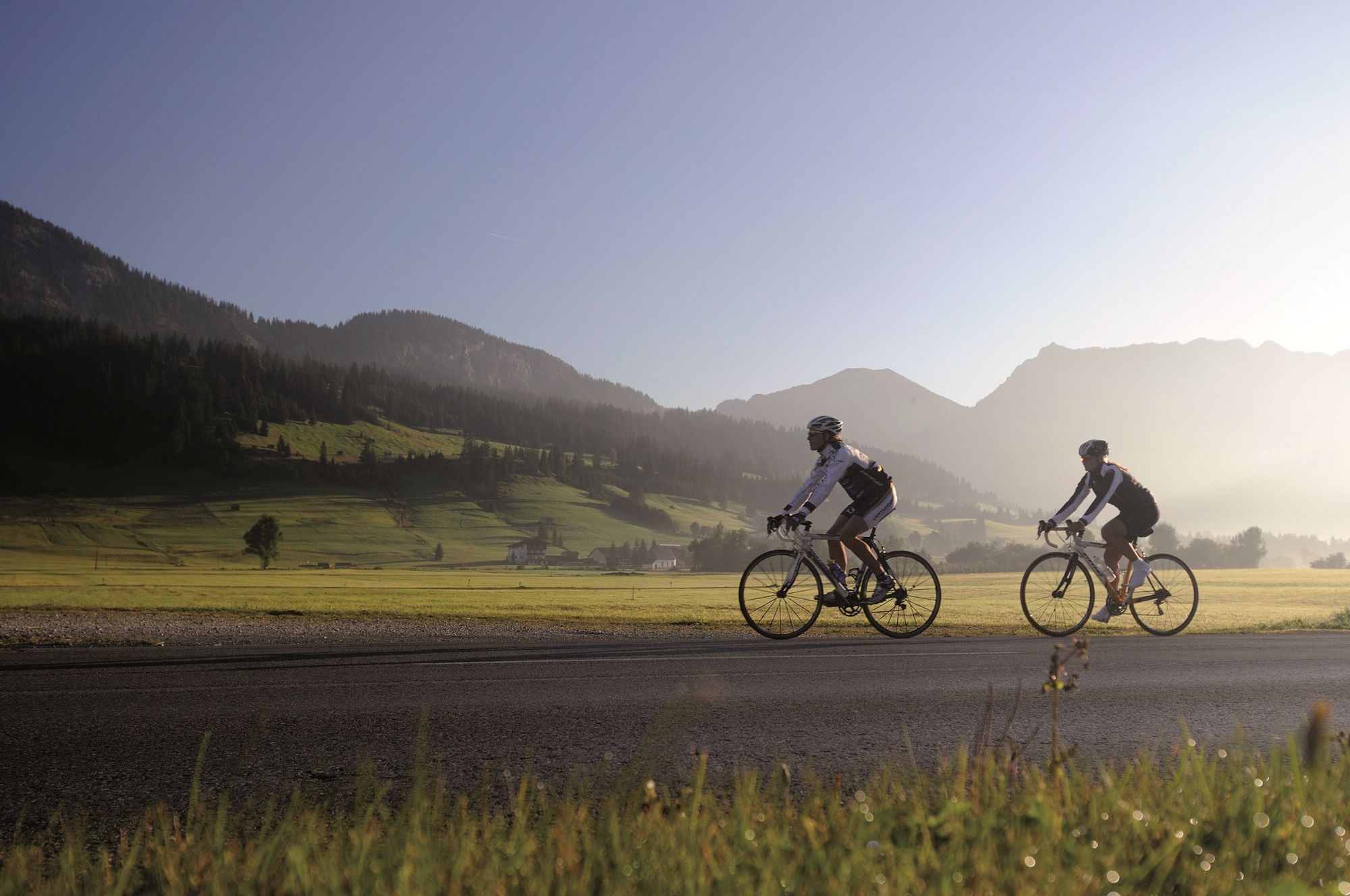
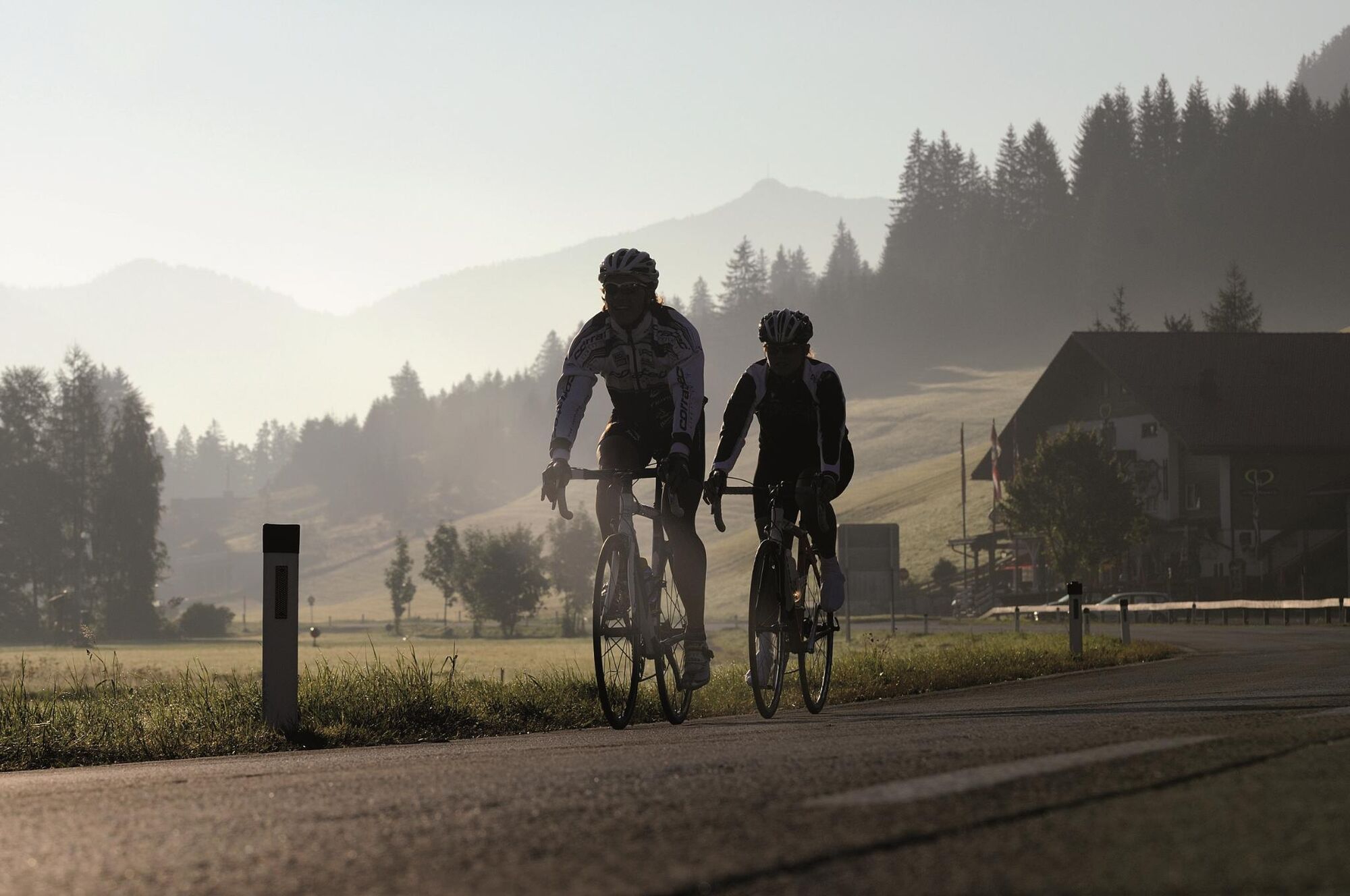
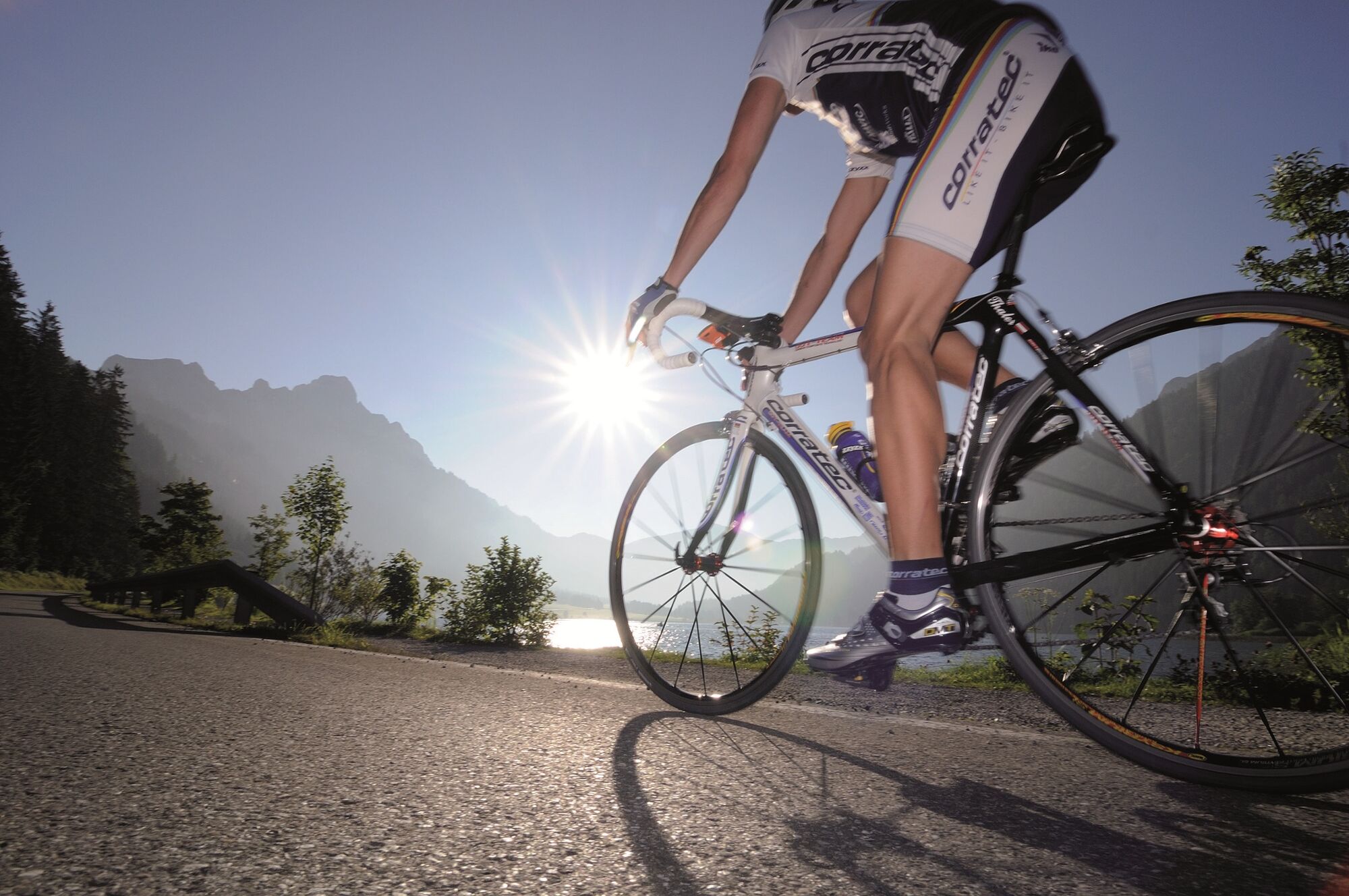
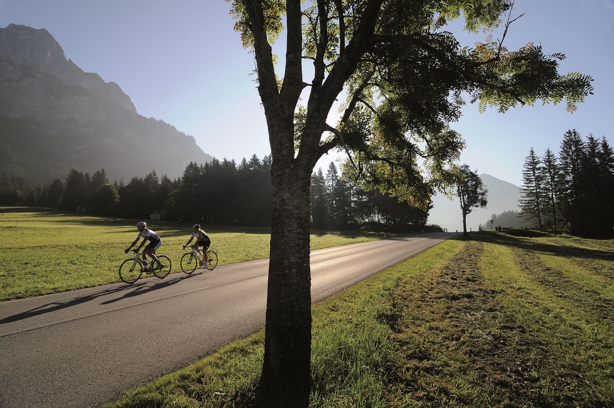
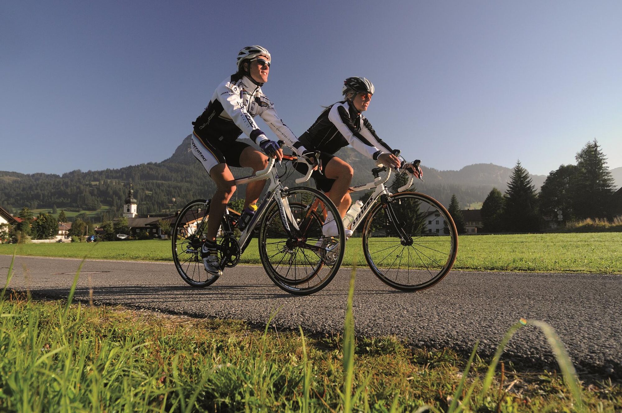
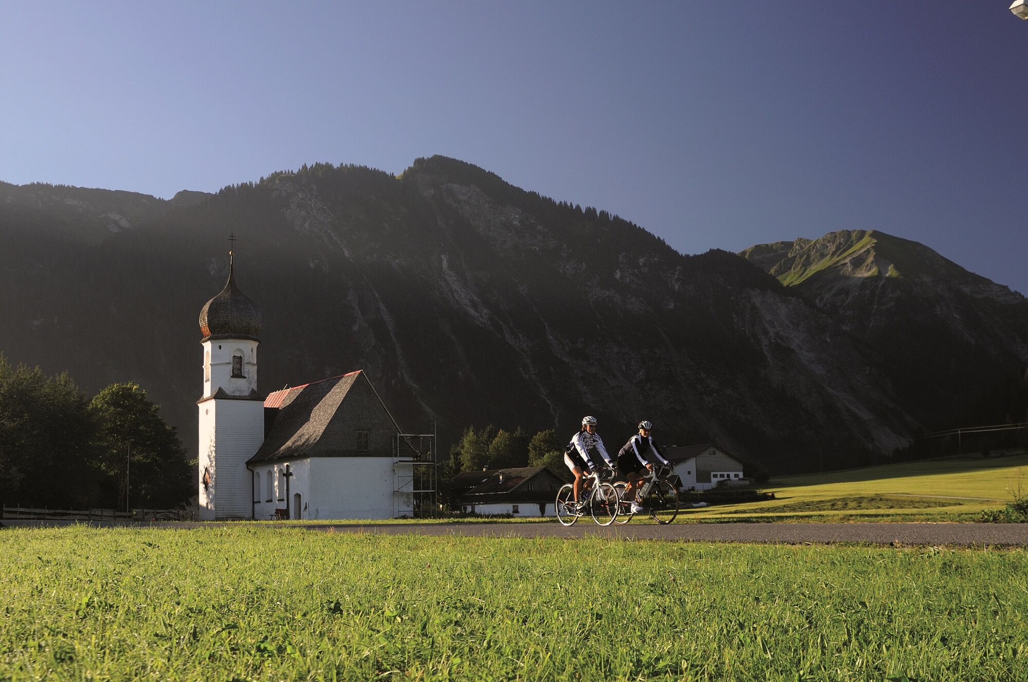
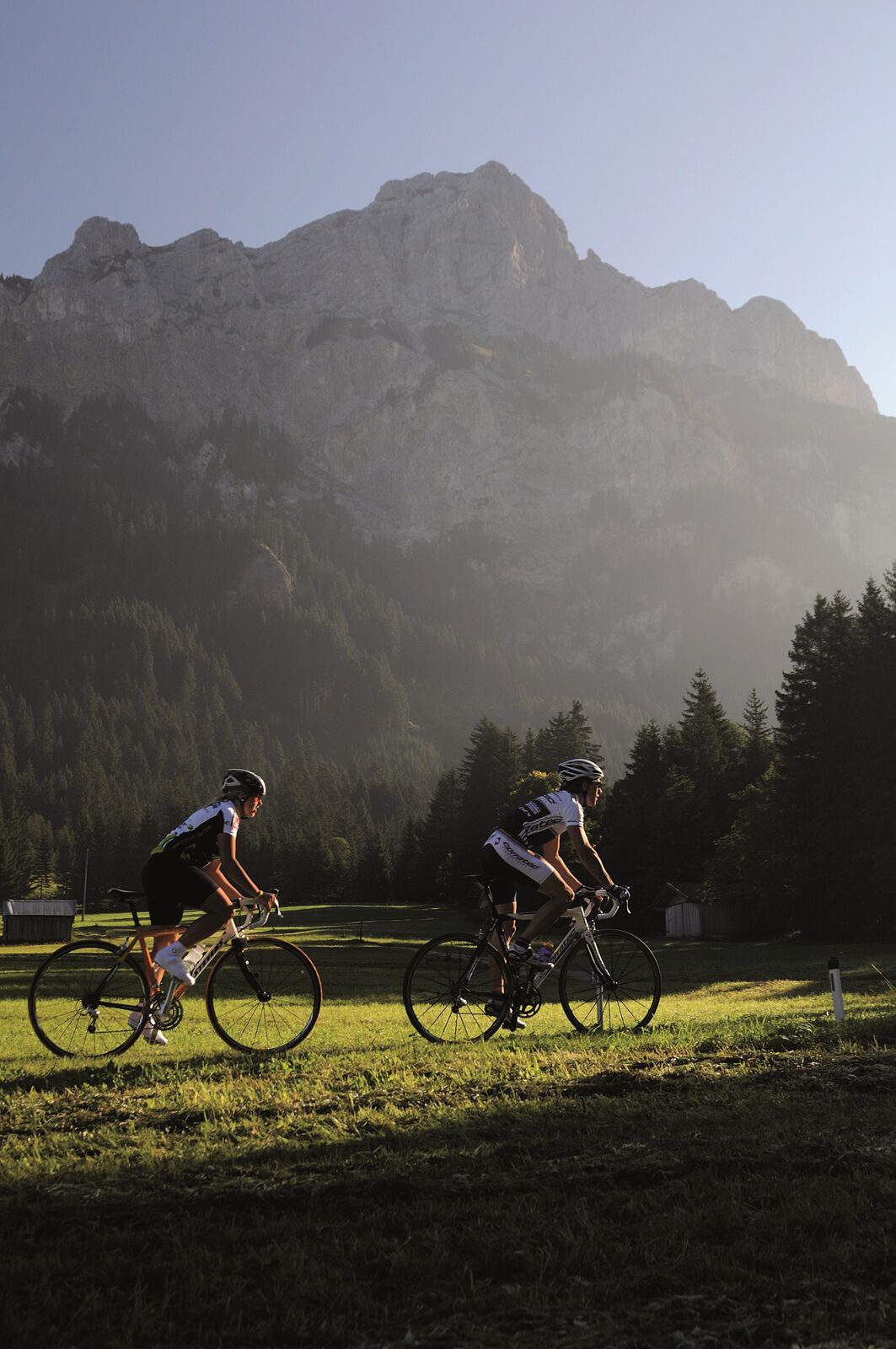
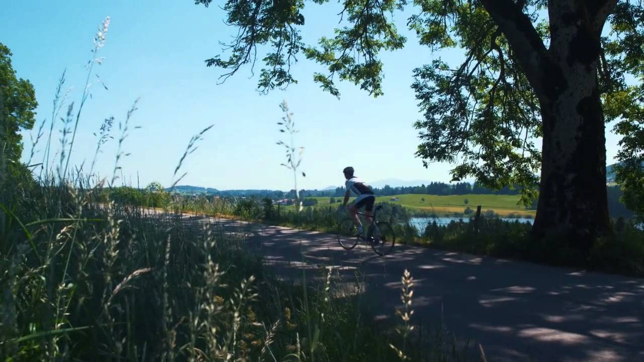
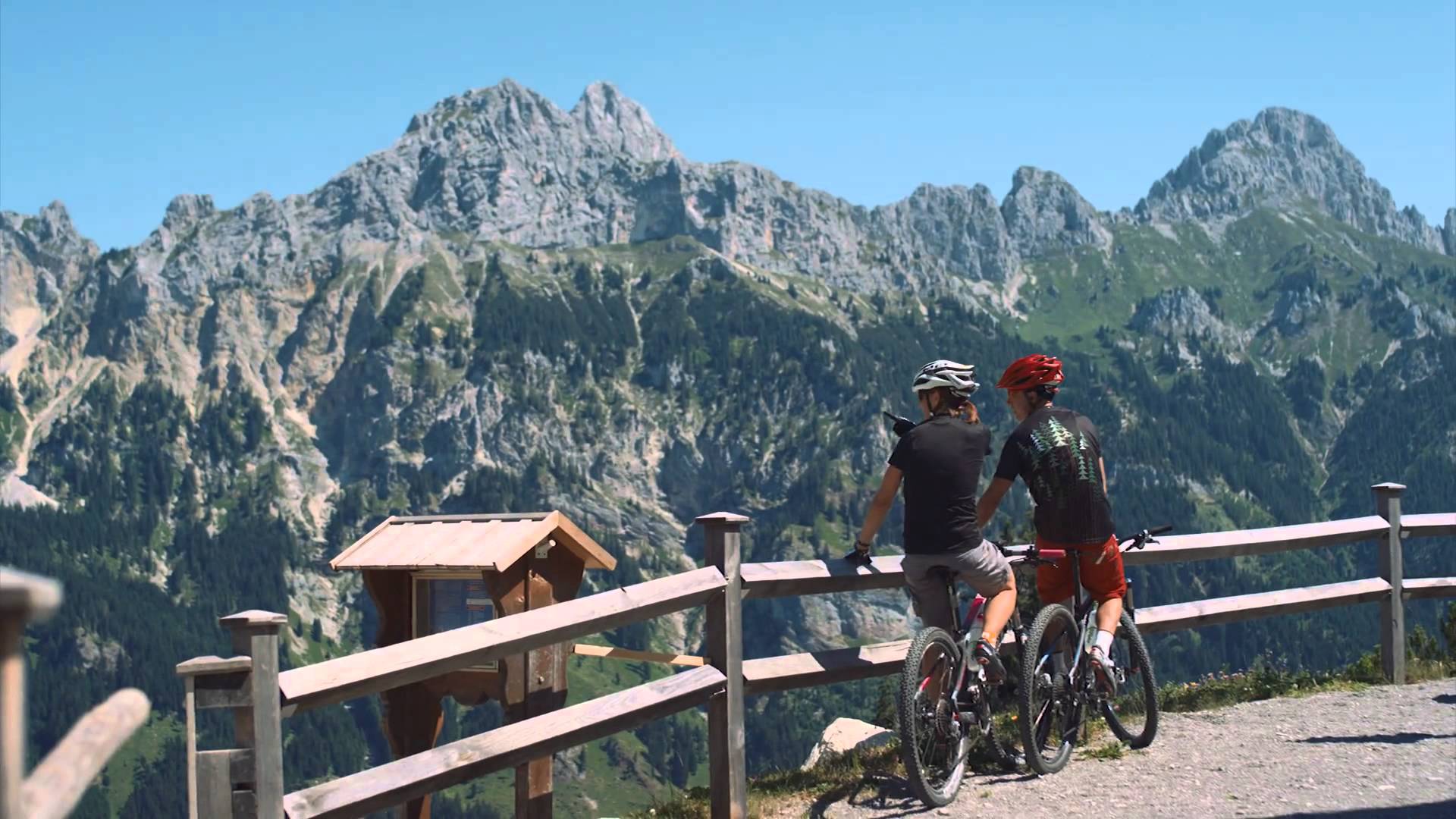
The famous Königssträssle around the Grünten. A panoramic racing bike tour with countless viewpoints and refreshment stops. With a crowning finish - the Jochpass.
- Difficoltà
-
intermedio
- Valutazione
-
- Percorso
-
Tannheim (1.097 m)0,5 kmNeu Kienzen0,9 kmKienzen1,0 kmZöblen (1.087 m)3,8 kmSchattwald (1.072 m)4,9 kmSteig6,0 kmKaminstube9,1 kmOberjoch10,5 kmObergschwend13,1 kmUnterjoch14,2 kmMariä Himmelfahrt14,9 kmJungholz (1.054 m)21,8 kmPfarrkirche Mariä Namen21,8 kmLochbihler23,1 kmLochbiler23,4 kmEnthalb der Ach26,6 kmWertach28,1 kmAlpe Dreiangelhütte37,0 kmKnappenhock40,1 kmBlick auf Oberstdorfer Berge40,7 kmGasthof Alpenblick41,1 kmAlpe Weiherle (950 m)41,7 kmBurgberg43,2 kmWinkel45,1 kmSt. Ursula und Wendelin45,4 kmBerghofen45,9 kmSonthofen (741 m)46,9 kmBinswangen47,7 kmGasthof zur Linde47,8 kmKapelle St. Johannes Nepomuk47,9 kmTiefenbach49,4 kmReckenberg50,6 kmVorderhindelang51,8 kmBad Hindelang (825 m)53,2 kmBad Oberdorf54,9 kmKapelle St. Jakob59,8 kmHeilig Geist Kirche60,2 kmOberjoch60,2 kmOberes Dorf60,2 kmKaminstube61,6 kmSteig64,9 kmSchattwald (1.072 m)65,9 kmZöblen (1.087 m)67,0 kmKienzen69,5 kmNeu Kienzen69,7 kmTannheim (1.097 m)70,5 km
- La stagione migliore
-
genfebmaraprmaggiulugagosetottnovdic
- Punto più alto
- 1.174 m
- Destinazione
-
Tannheim
- Profilo altimetrico
-


- Autore
-
Il tour Königssträssle (Little kings street) è utilizzato da outdooractive.com fornito.
GPS Downloads


Info generali
Punto di ristoro
Flora
Fauna
Promettente
Altri tour nelle regioni
-
Allgäu
66
-
Alpsee-Grünten
42
-
Bad Hindelang
14


