© Tourismusverband Region Hall-Wattens - Hall Wattens
- Descrizione rapida
-
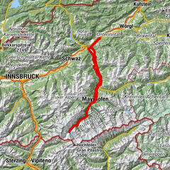
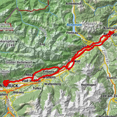
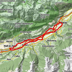
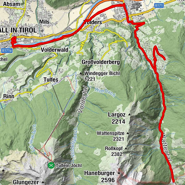
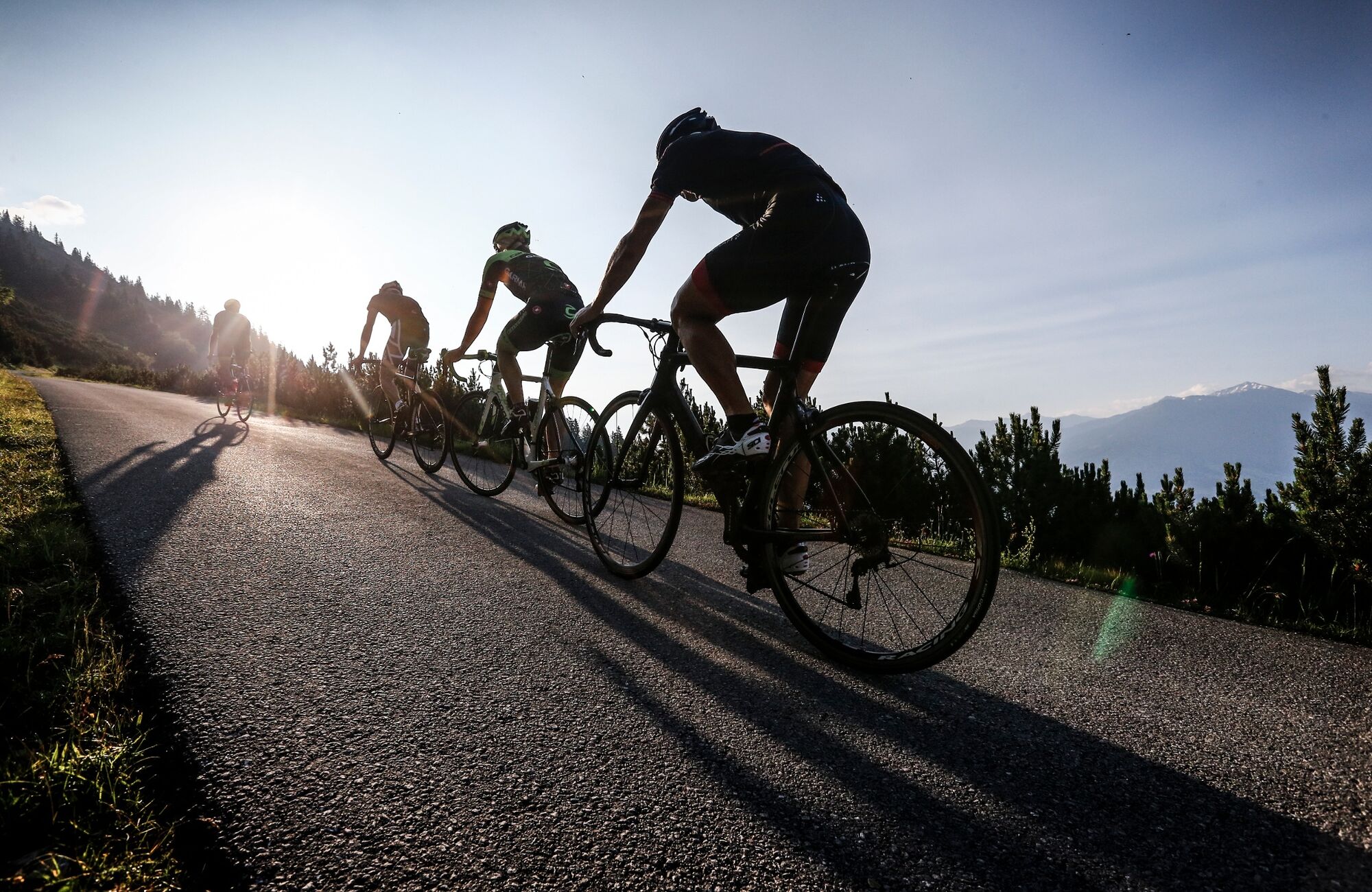
Die Runde führt uns auf den Wattenberg hinauf und nach einer rasanten Abfahrt noch weit hinein in das Wattental.
- Difficoltà
-
intermedio
- Valutazione
-
- Percorso
-
Hall in Tirol (574 m)Johanneskapelle0,1 kmVolders (558 m)5,8 kmWattens (564 m)8,4 kmKeilfeld11,5 kmHirschland11,5 kmOberhäusl12,5 kmWattenberg (1.050 m)12,9 kmGasthof Mühle13,9 kmLenz14,0 kmRieder Kapelle16,4 kmJörgen16,5 kmHausern16,8 kmFelder Kapelle18,1 kmGasthof Mühle19,2 kmLenz19,4 kmPeter Bachmann Marterl20,0 kmKalte Kendl22,0 kmAm Ridl23,3 kmGasthaus Haneburger24,2 kmOchsenbrandalm25,5 kmGasthaus Haneburger28,1 kmAm Ridl28,8 kmKalte Kendl30,2 kmPeter Bachmann Marterl32,3 kmLenz32,8 kmGasthof Mühle33,1 kmWattenberg (1.050 m)34,1 kmOberhäusl34,5 kmHirschland35,6 kmKeilfeld35,6 kmWattens (564 m)38,2 kmVolders (558 m)40,4 kmGeorgskapelle47,0 kmHall in Tirol (574 m)47,0 km
- La stagione migliore
-
genfebmaraprmaggiulugagosetottnovdic
- Punto più alto
- 1.408 m
- Destinazione
-
Hall in Tirol
- Profilo altimetrico
-

-

-
AutoreIl tour Wattener Runde è utilizzato da outdooractive.com fornito.
GPS Downloads


Info generali
Punto di ristoro
Promettente
Altri tour nelle regioni