Dati percorsi
19,69km
1.049
- 1.164m
73hm
83hm
01:35h

- Descrizione rapida
-
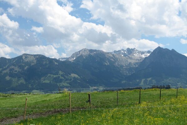
A bicycle tour through the "most beautiful high valley in Europe
- Difficoltà
-
intermedio
- Valutazione
-
- Percorso
-
Nesselwängle (1.136 m)1,2 kmKrinnenalpe1,9 kmSchmitte2,3 kmTauscher's Alm5,1 kmSt. Jakobus5,5 kmHaldensee5,7 kmGrän (1.138 m)6,5 kmInnergschwend9,1 kmTannheim (1.097 m)10,6 kmFischteich13,2 kmZöblen (1.087 m)14,6 kmFricken15,5 kmHaus Schattwald (1.100 m)15,7 kmSchattwald (1.072 m)15,8 kmWies16,1 kmSteig16,8 km
- La stagione migliore
-
genfebmaraprmaggiulugagosetottnovdic
- Punto più alto
- 1.164 m
- Destinazione
-
Landhotel Rehbach in Schattwald (exit from the tour possible on the whole valley level)
- Profilo altimetrico
-
- Autore
-
Il tour Cycle path Tannheimer Tal - E-Bike è utilizzato da outdooractive.com fornito.
GPS Downloads
Info generali
Punto di ristoro
Flora
Fauna
Promettente
Altri tour nelle regioni
-
Allgäu
389
-
Tannheimer Tal
151
-
Tannheim
30


