© TVB Tannheimer Tal

© Tannheimer Tal - Tourismusverband Tannheimer Tal

© Tannheimer Tal - Tourismusverband Tannheimer Tal

© Tannheimer Tal - Tourismusverband Tannheimer Tal
© Tannheimer Tal - Tourismusverband Tannheimer Tal

© Tannheimer Tal - Tourismusverband Tannheimer Tal

© Tannheimer Tal - Tourismusverband Tannheimer Tal

© Tannheimer Tal - Tourismusverband Tannheimer Tal

© Tannheimer Tal - Tourismusverband Tannheimer Tal

© Tannheimer Tal - Florian Müller
- Descrizione rapida
-
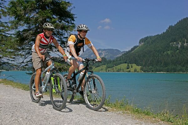
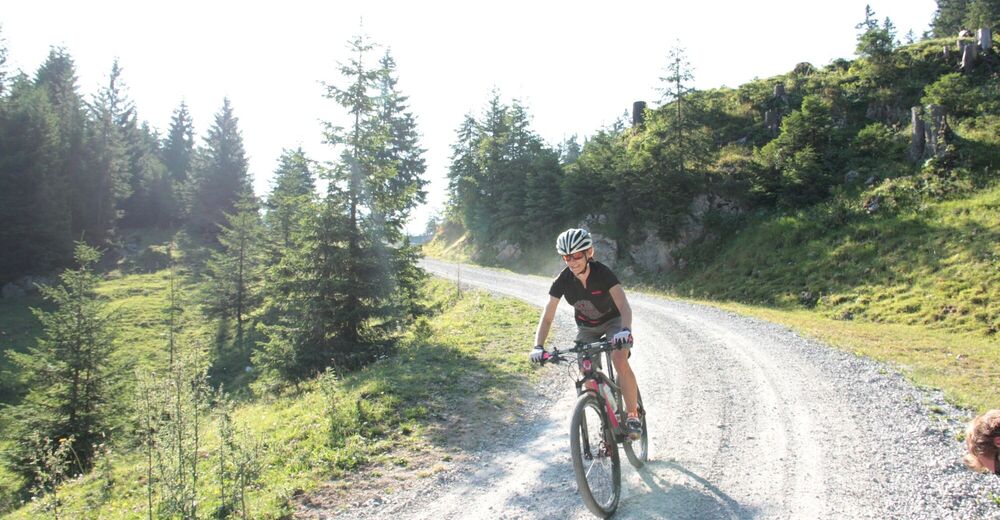
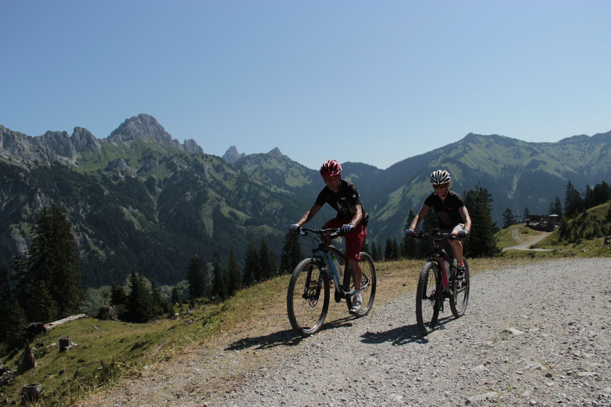
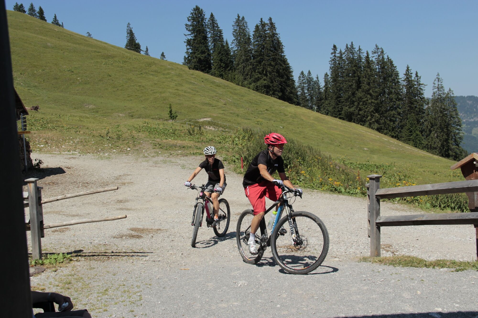
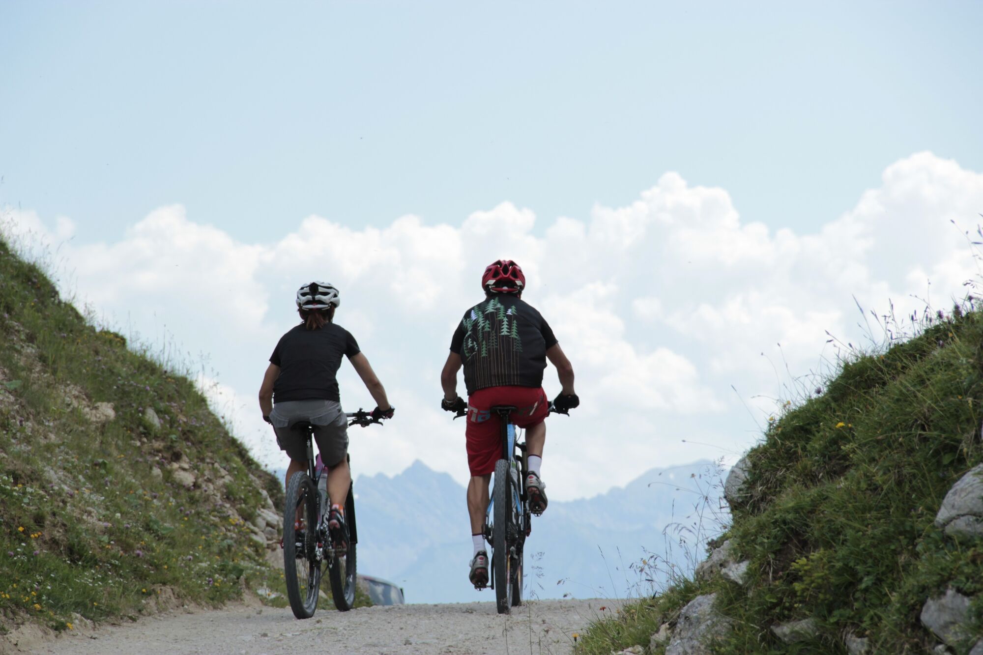
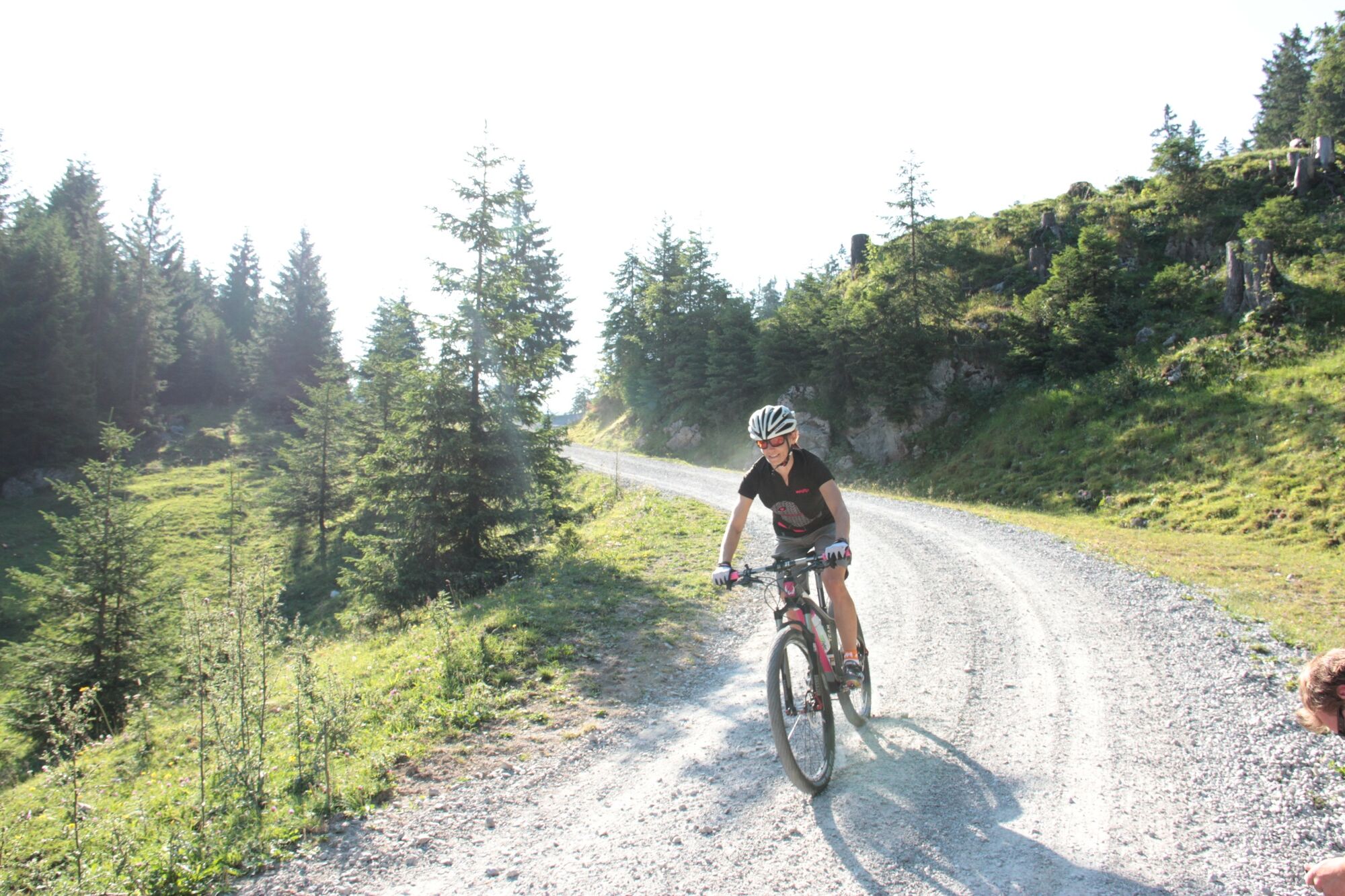
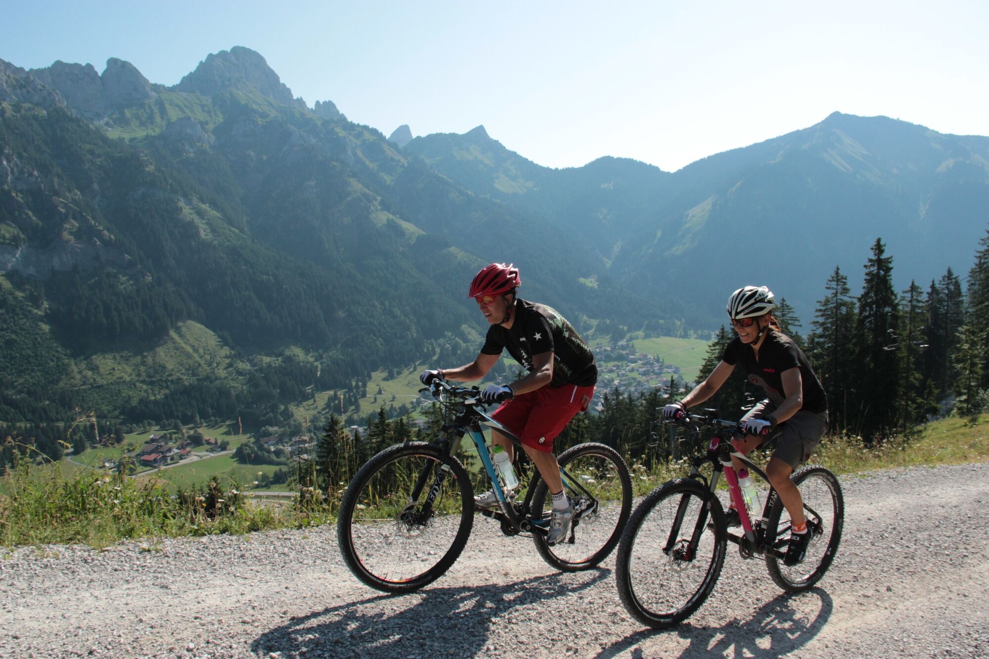
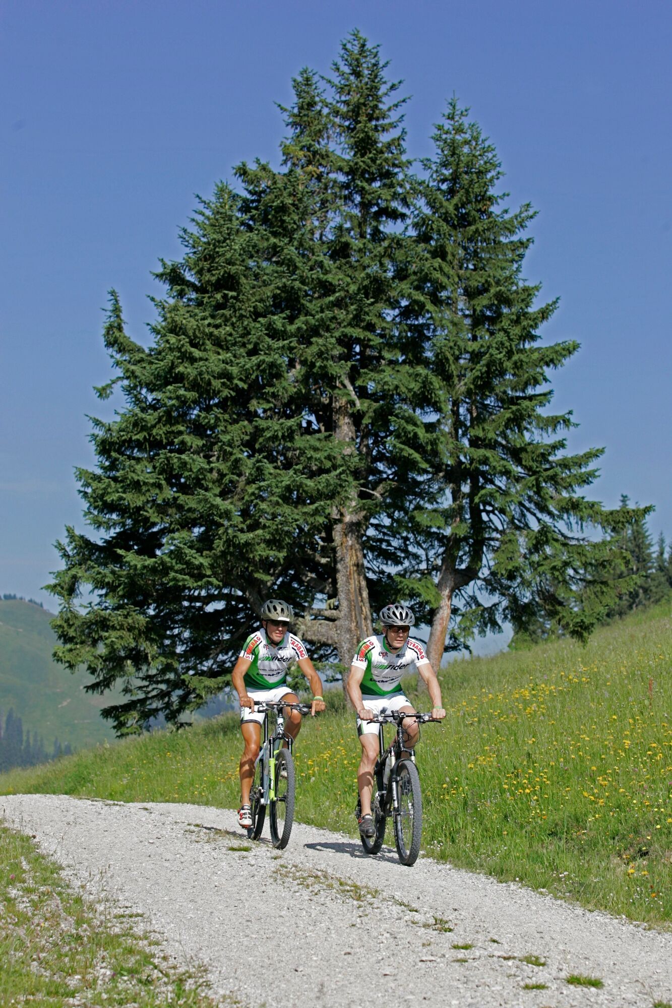
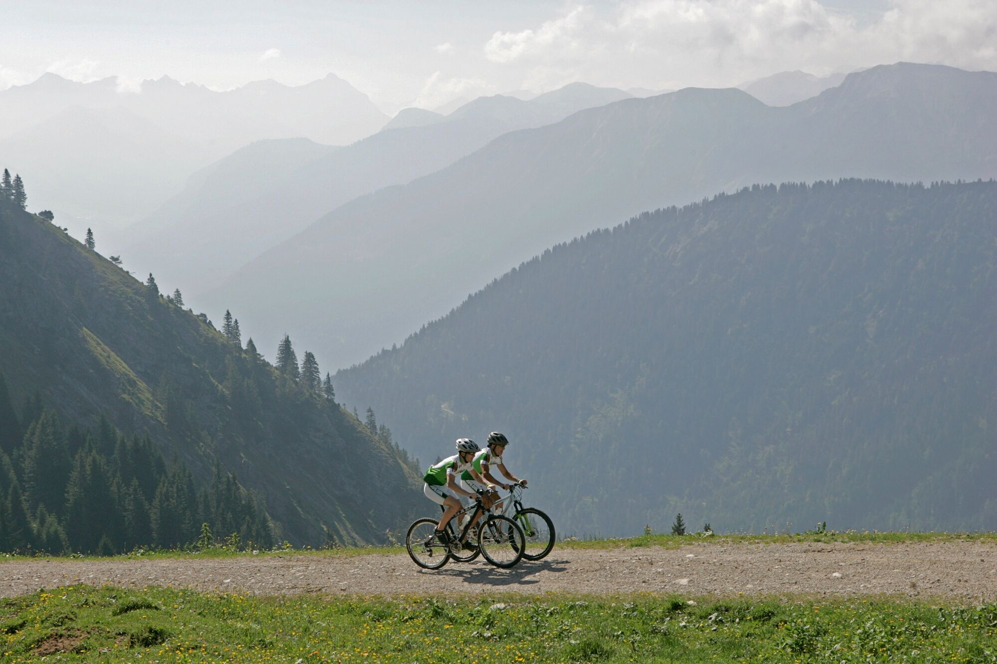
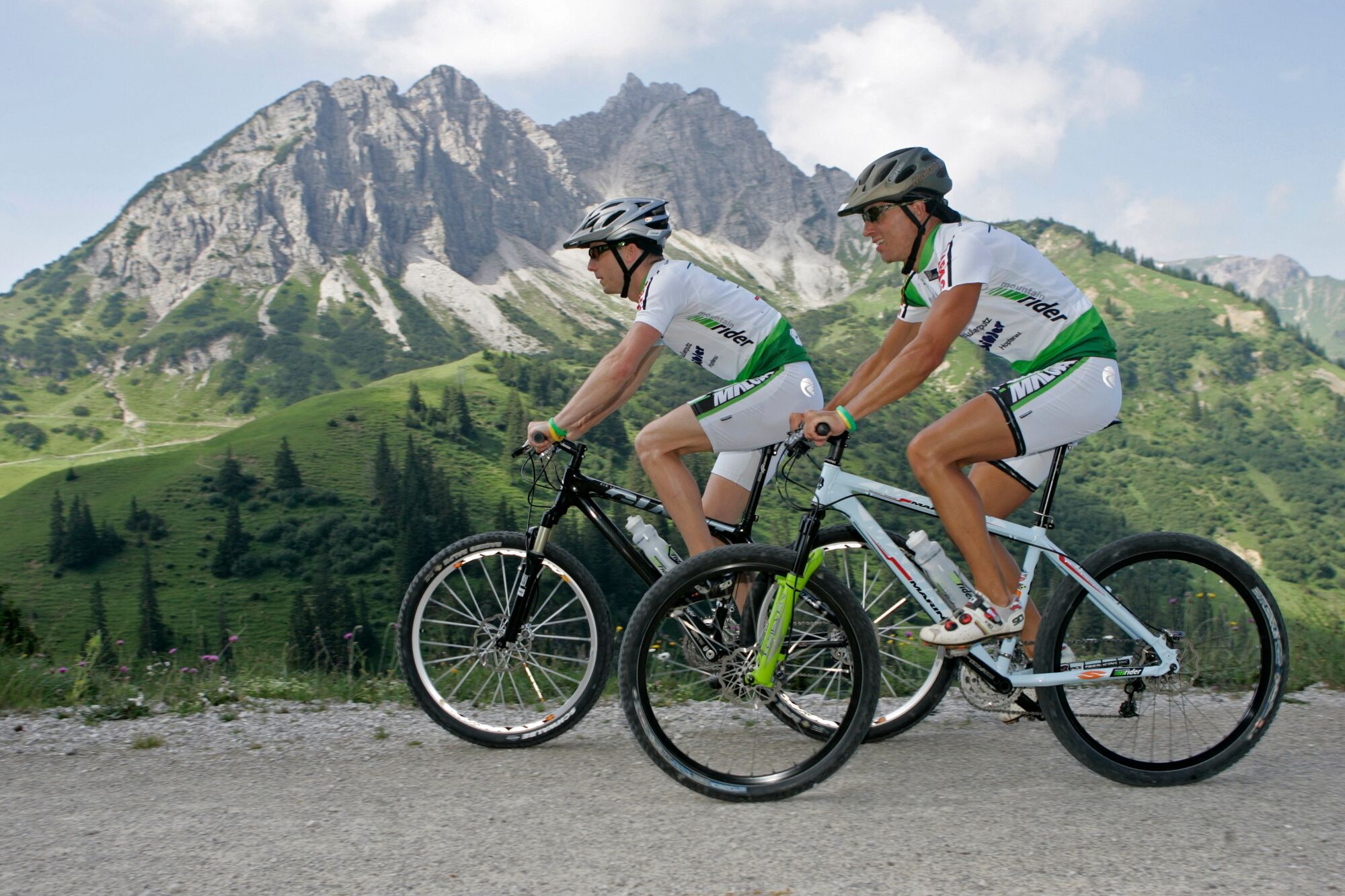
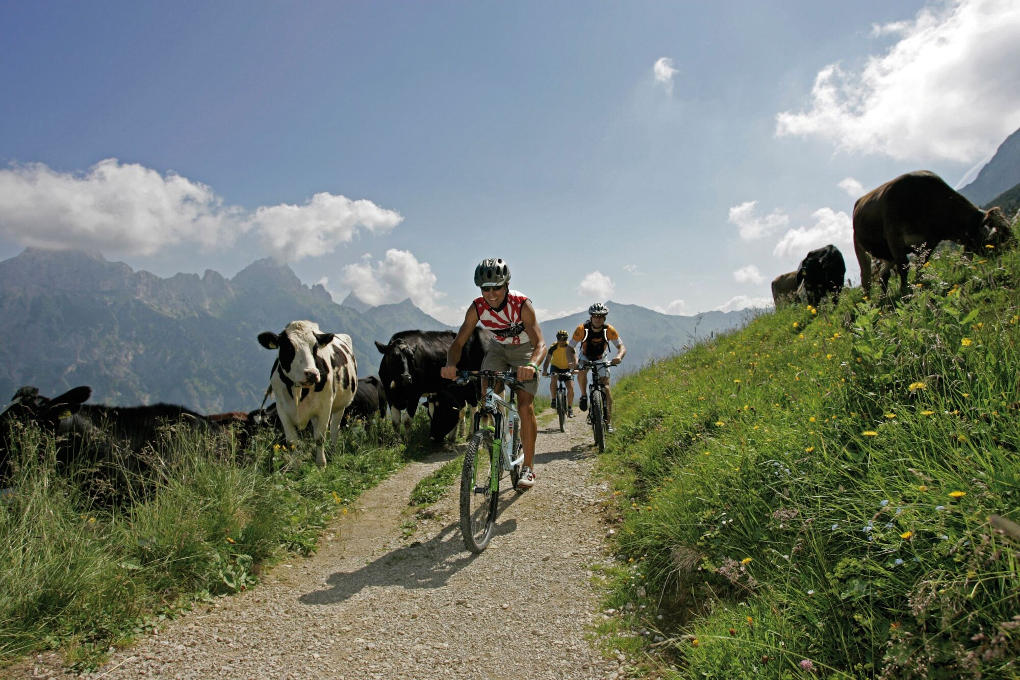
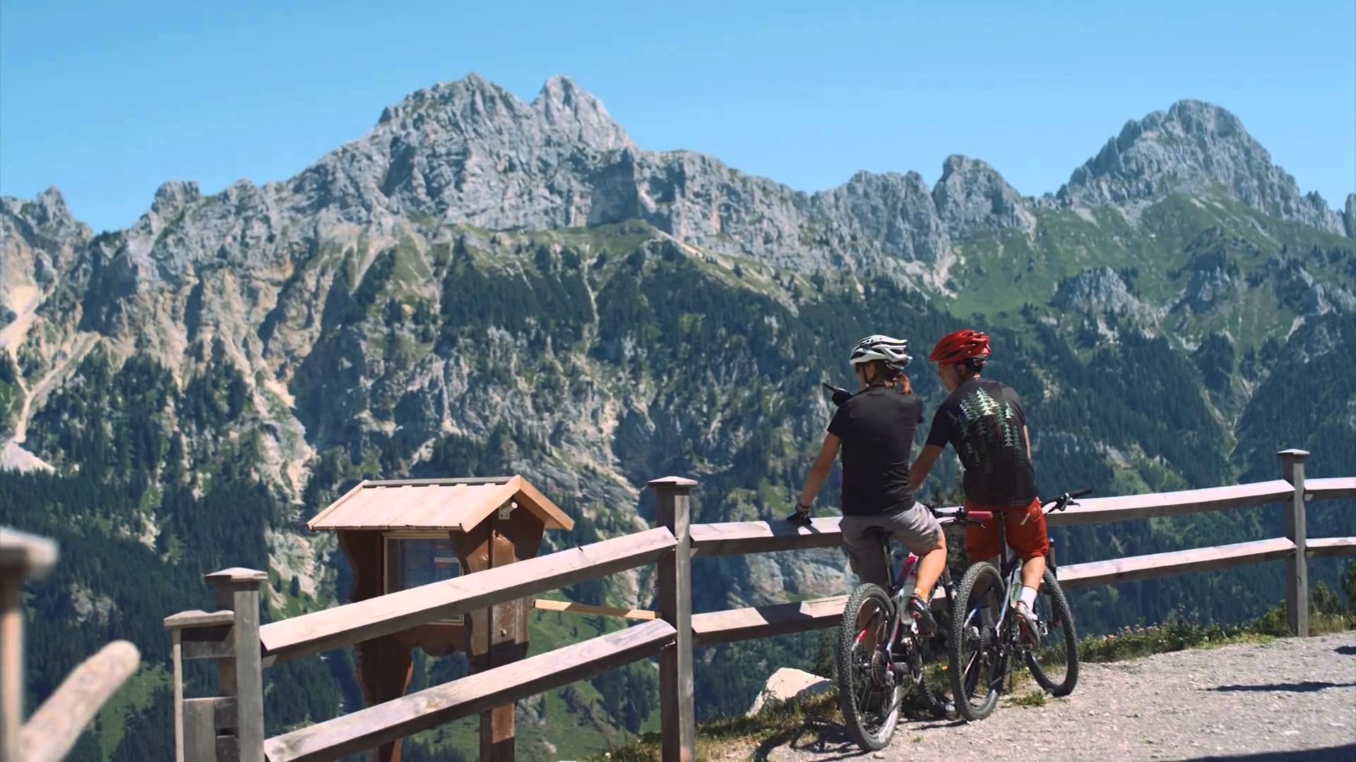
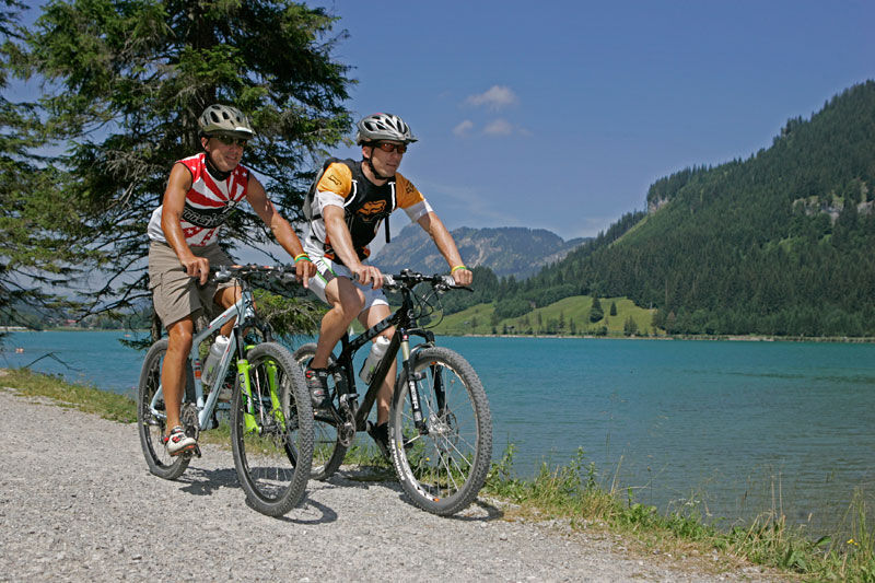
Enjoy the Tannheimer Tal on the bike.
- Difficoltà
-
intermedio
- Valutazione
-
- Percorso
-
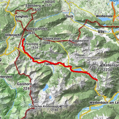
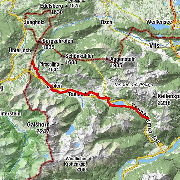
Nesselwängle (1.136 m)1,2 kmKrinnenalpe1,9 kmSchmitte2,3 kmTauscher's Alm5,1 kmSt. Jakobus5,5 kmHaldensee5,7 kmGrän (1.138 m)6,5 kmInnergschwend9,1 kmTannheim (1.097 m)10,7 kmFischteich13,2 kmZöblen (1.087 m)14,7 kmFricken15,6 kmHaus Schattwald (1.100 m)15,7 kmSchattwald (1.072 m)15,9 kmWies16,1 kmSteig16,9 km
- La stagione migliore
-
genfebmaraprmaggiulugagosetottnovdic
- Punto più alto
- 1.164 m
- Destinazione
-
Landhotel Rehbach in Schattwald (exit from the tour possible on the whole valley level)
- Profilo altimetrico
-


- Autore
-
Il tour Cycle path Tannheimer Tal - cycling è utilizzato da outdooractive.com fornito.
GPS Downloads


Info generali
Punto di ristoro
Flora
Fauna
Promettente
Altri tour nelle regioni
-
Allgäu
410
-
Tannheimer Tal
160
-
Tannheim
37