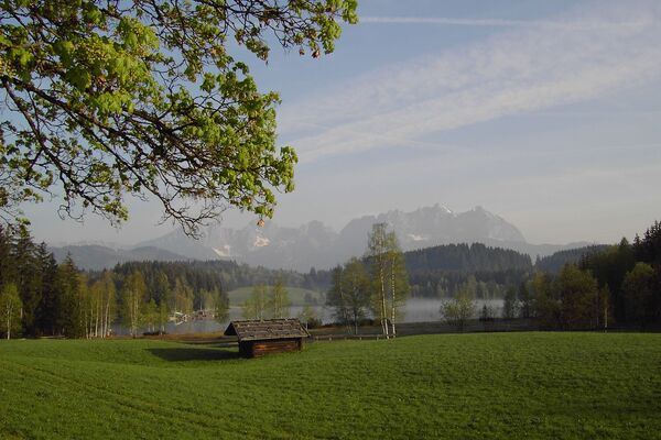
© TVB Wilder Kaiser - TVB Wilder Kaiser/Mathäus Gartner

© TVB Wilder Kaiser - TVB Wilder Kaiser/Mathäus Gartner

© TVB Wilder Kaiser - TVB Wilder Kaiser/Mathäus Gartner

© TVB Wilder Kaiser - TVB Wilder Kaiser/Mathäus Gartner

© TVB Wilder Kaiser - TVB Wilder Kaiser/Mathäus Gartner

© TVB Wilder Kaiser

- Descrizione rapida
-
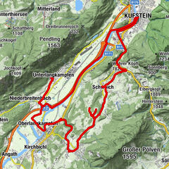
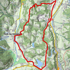
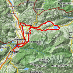
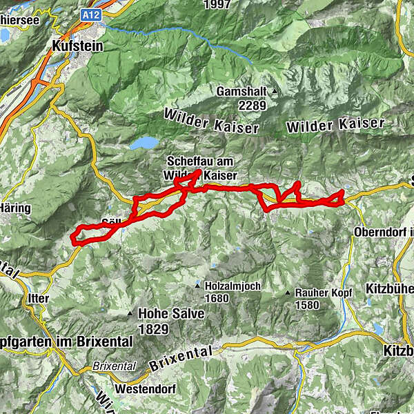
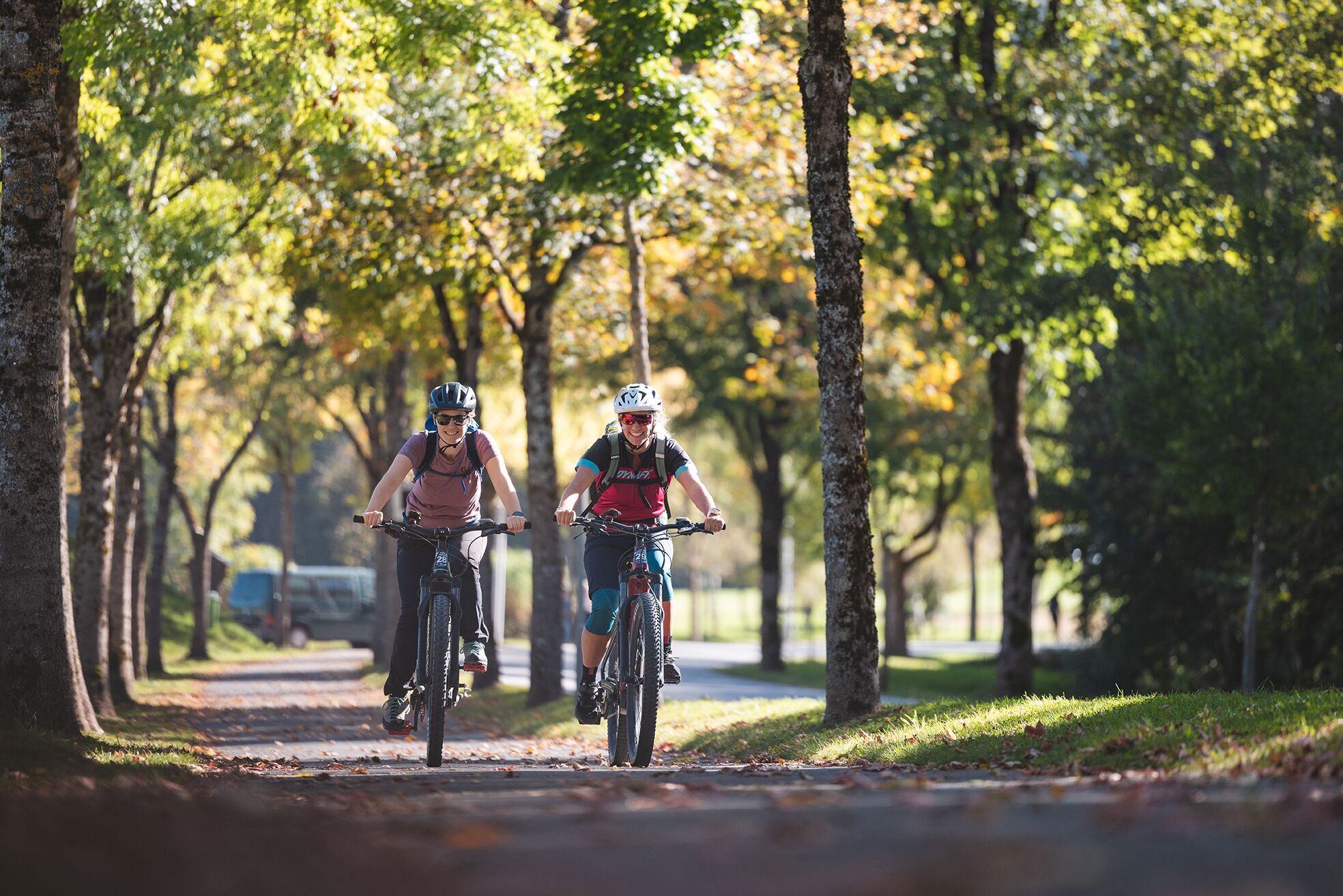
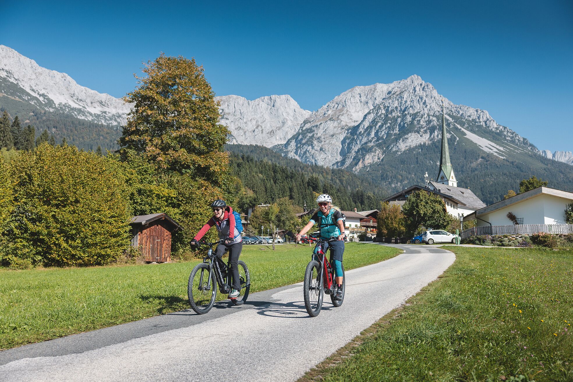
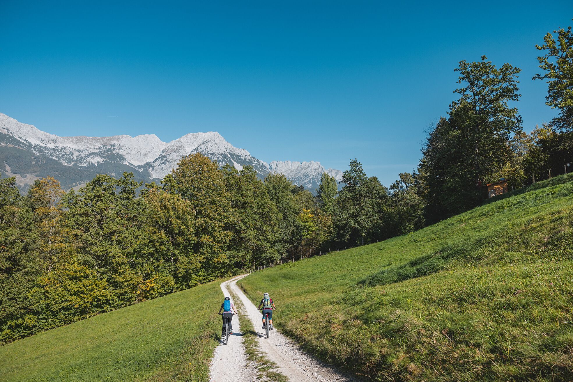
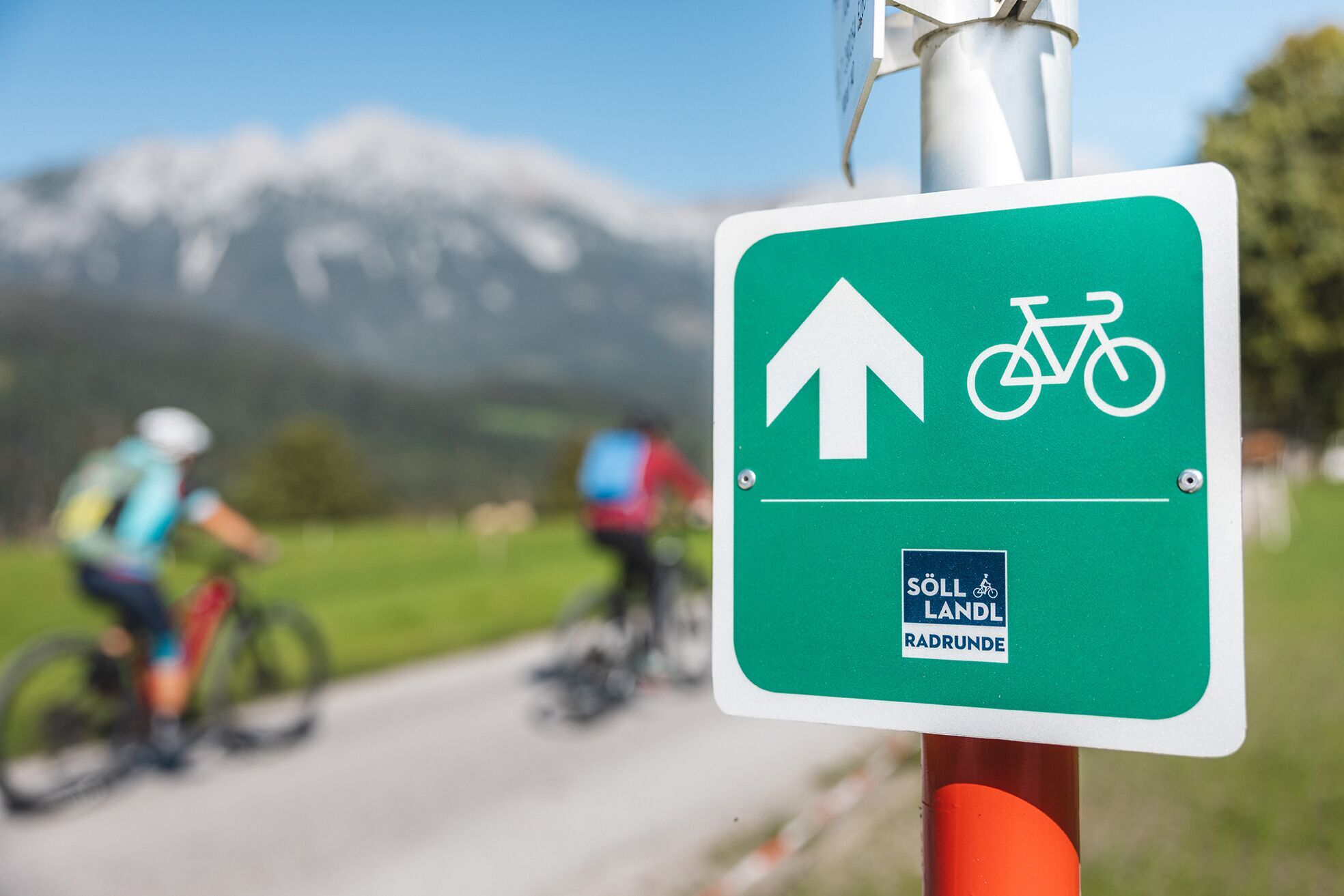
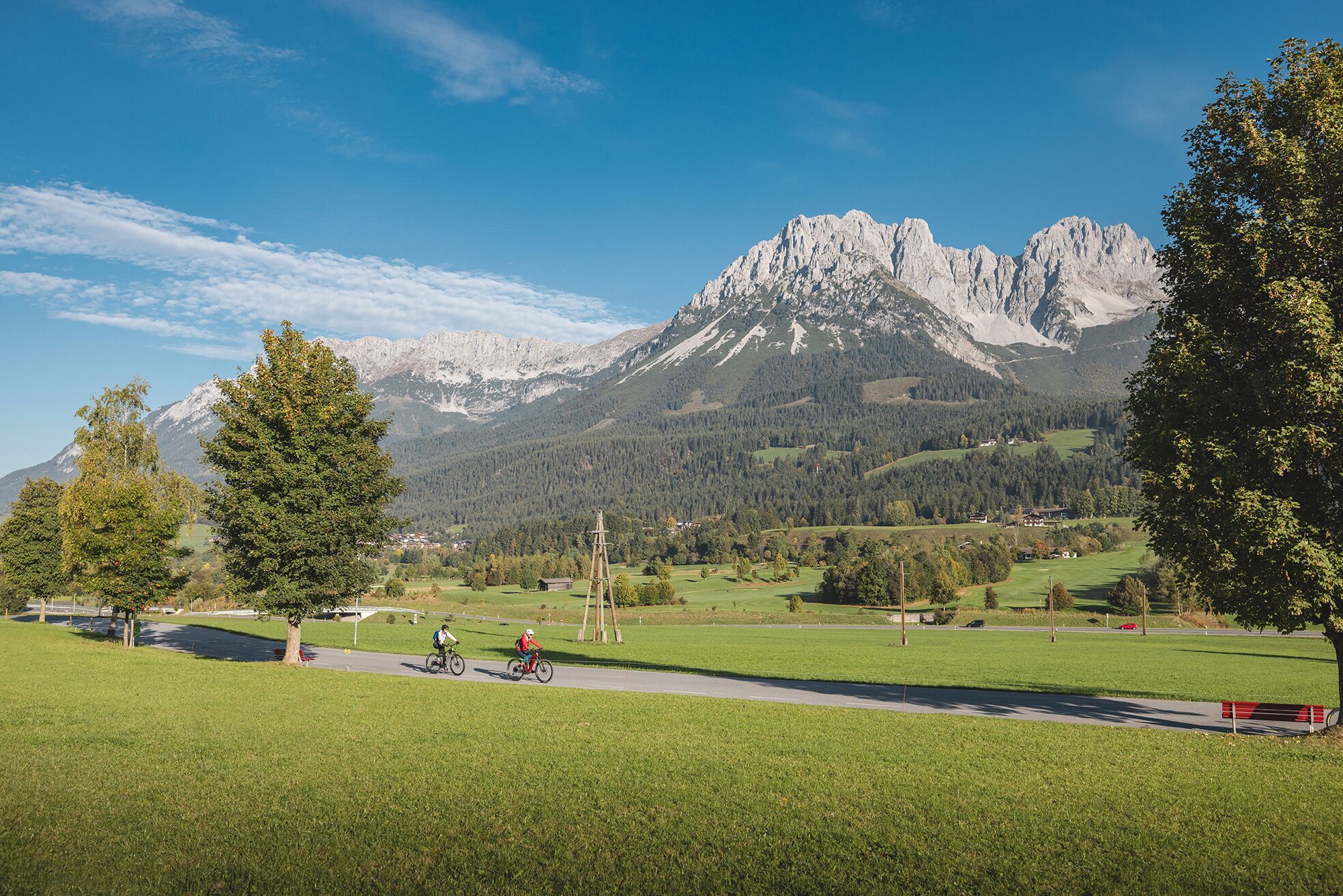
Circular cycling route for leisure bikers between the four villages of the Kaiser region.
- Difficoltà
-
intermedio
- Valutazione
-
- Percorso
-
Blaiken0,1 kmSchwarzach0,8 kmAm Trattenbach1,0 kmOberau1,3 kmS'Kleine Wirtshaus Ellmau2,6 kmAuwinkel (742 m)2,7 kmEllmauer Hof3,6 kmSteinerner Tisch (772 m)4,0 kmAu (806 m)5,0 kmPfarrkirche5,5 kmEllmau5,7 kmAlexandra7,1 kmGoing7,5 kmDorfwirt7,8 kmStanglwirt9,2 kmPrama10,1 kmPramakapelle10,2 kmDorfwirt11,1 kmEllmau14,7 kmWimm (791 m)15,5 kmS'Kleine Wirtshaus Ellmau17,4 kmAuwinkel (742 m)17,5 kmOberau18,9 kmAm Trattenbach19,0 kmSchwarzach19,5 kmBlaiken20,2 kmScheffau am Wilden Kaiser21,3 kmPfarrkirche Scheffau21,4 kmSonnwies22,2 kmWurzach (661 m)23,0 kmBocking24,2 kmUnterhauning26,5 kmLechnersiedlung26,5 kmGänsleit27,2 kmSöll28,1 kmPirchmoos28,7 kmPirchmooser-Kapelle29,0 kmReit29,7 kmWald31,6 kmSöll33,1 kmGänsleit34,0 kmLechnersiedlung34,5 kmHauning35,0 kmBärbichl (758 m)37,2 kmBlaiken38,4 km
- La stagione migliore
-
genfebmaraprmaggiulugagosetottnovdic
- Punto più alto
- 826 m
- Destinazione
-
anywhere along the tour
- Profilo altimetrico
-


- Autore
-
Il tour Sölllandl circular cycling route è utilizzato da outdooractive.com fornito.
GPS Downloads


Info generali
Punto di ristoro
Promettente
Altri tour nelle regioni