© TVB Wilder Kaiser - TVB Wilder Kaiser/Mathäus Gartner

© TVB Wilder Kaiser - TVB Wilder Kaiser/Mathäus Gartner

© TVB Wilder Kaiser - TVB Wilder Kaiser/Simon Oberleitner

- Descrizione rapida
-
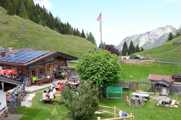
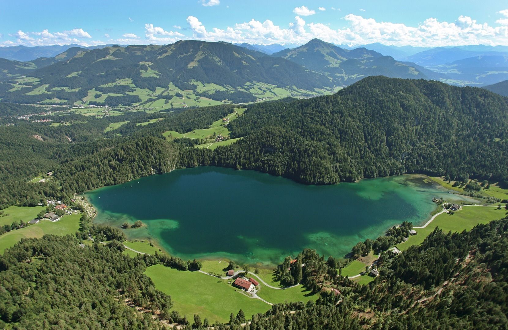
Picture-postcard panoramic scenery to Hintersteiner See lake, a natural gem.
- Difficoltà
-
intermedio
- Valutazione
-
- Percorso
-
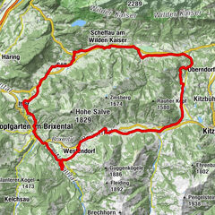
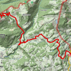
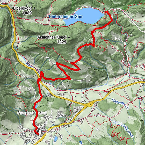
Söll0,0 kmDorfbichl0,5 kmGasthof Oberstegen2,2 kmAchleitberg5,5 kmSchupfen7,0 kmHochegg7,7 kmGreidern8,1 kmMarienkapelle Gut Alte Mühle9,0 kmBichl9,3 km
- La stagione migliore
-
genfebmaraprmaggiulugagosetottnovdic
- Punto più alto
- 1.003 m
- Destinazione
-
Hintersteiner See Lake, Scheffau (889 m)
- Profilo altimetrico
-

- Autore
-
Il tour MTB Tour Söll - Hintersteiner See Lake è utilizzato da outdooractive.com fornito.
GPS Downloads


Info generali
Punto di ristoro
Promettente
Altri tour nelle regioni
-
Kufsteinerland
379
-
Söll
118