© TVB Wilder Kaiser - TVB Wilder Kaiser/Sternmanufaktur

© TVB Wilder Kaiser - TVB Wilder Kaiser/von Felbert_Reiter

© TVB Wilder Kaiser - TVB Wilder Kaiser/Sternmanufaktur

© TVB Wilder Kaiser - TVB Wilder Kaiser/Stefan Leitner

© TVB Wilder Kaiser


- Descrizione rapida
-
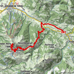
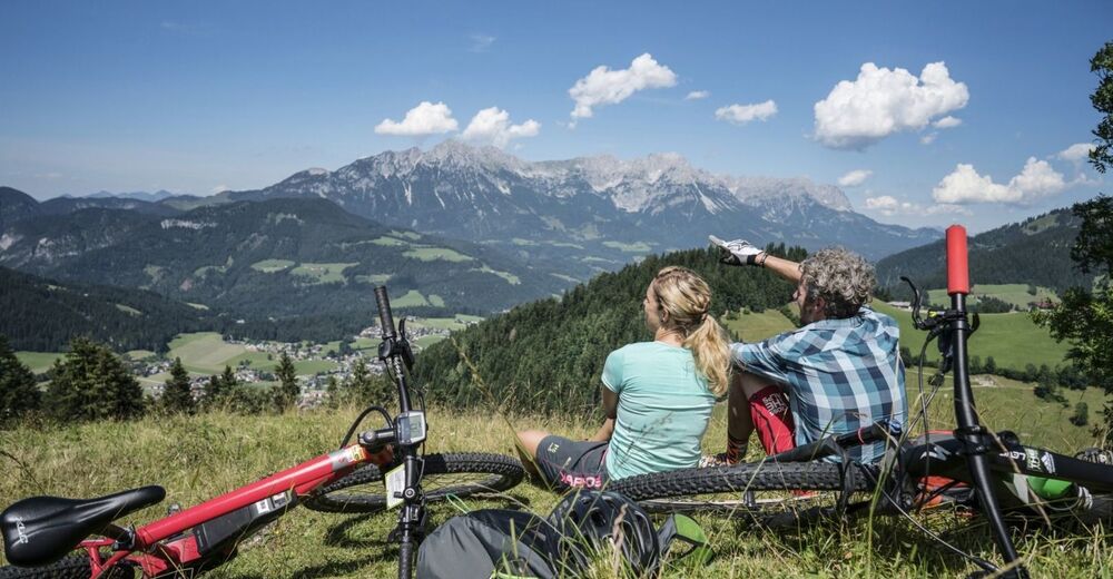
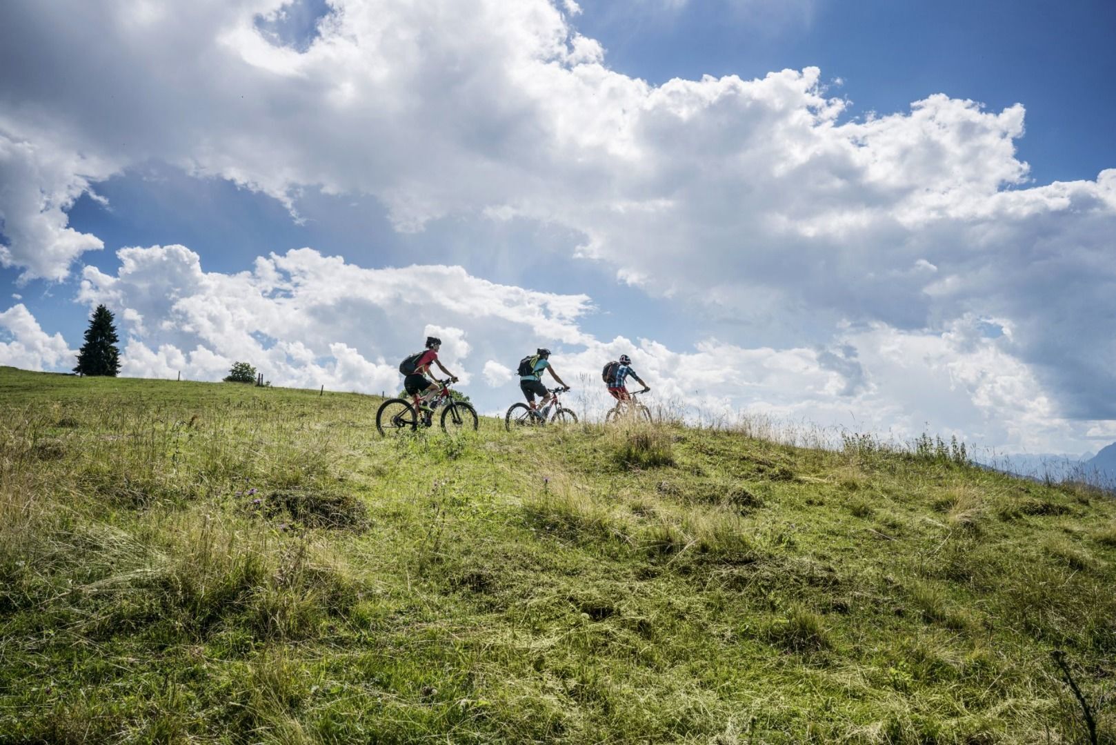
A challenging circular mountainbike tour with plenty of welcoming refreshment stops.
- Difficoltà
-
intermedio
- Valutazione
-
- Percorso
-
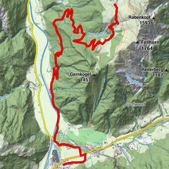
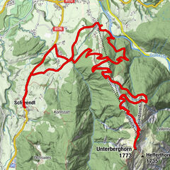
SöllStampfanger1,1 kmStampfangerkapelle1,3 kmBromberg4,8 kmAlpengasthof Gruberhof5,0 kmJausenstation Kogl-Kaser6,4 kmHartkaseralm (1.386 m)10,7 kmAu (806 m)17,8 kmSteinerner Tisch (772 m)18,9 kmEllmauer Hof19,3 kmS'Kleine Wirtshaus Ellmau20,1 kmAuwinkel (742 m)20,2 kmOberau21,4 kmAm Trattenbach21,7 kmBlaiken22,8 kmBocking24,3 kmUnterhauning26,6 kmLechnersiedlung26,7 kmGänsleit27,2 kmSöll28,2 km
- La stagione migliore
-
genfebmaraprmaggiulugagosetottnovdic
- Punto più alto
- 1.568 m
- Destinazione
-
Village Center, Söll (703 m)
- Profilo altimetrico
-


- Autore
-
Il tour MTB Tour Brandstadl Circuit è utilizzato da outdooractive.com fornito.
GPS Downloads


Info generali
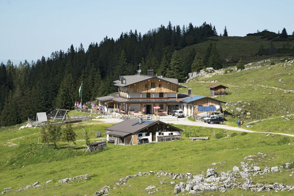
Punto di ristoro
Promettente
Altri tour nelle regioni