© TVB Wilder Kaiser - TVB Wilder Kaiser/Mathäus Gartner

© TVB Wilder Kaiser - WOM Medien GmbH/Andreas Meyer

© TVB Wilder Kaiser - WOM Medien GmbH/Stefan Schopf

© TVB Wilder Kaiser - WOM Medien GmbH/Stefan Schopf

© TVB Wilder Kaiser - WOM Medien GmbH/Stefan Schopf

© TVB Wilder Kaiser - WOM Medien GmbH/Stefan Schopf

© TVB Wilder Kaiser - WOM Medien GmbH/Stefan Schopf

© TVB Wilder Kaiser - WOM Medien GmbH/Stefan Schopf

© TVB Wilder Kaiser - WOM Medien GmbH/Stefan Schopf

© TVB Wilder Kaiser - WOM Medien GmbH/Stefan Schopf

- Descrizione rapida
-
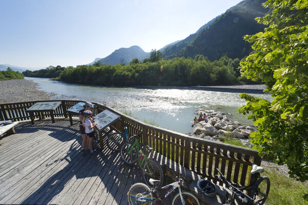
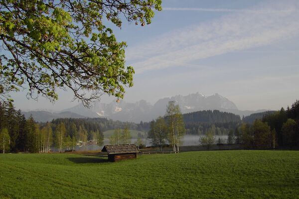
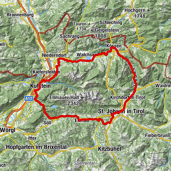
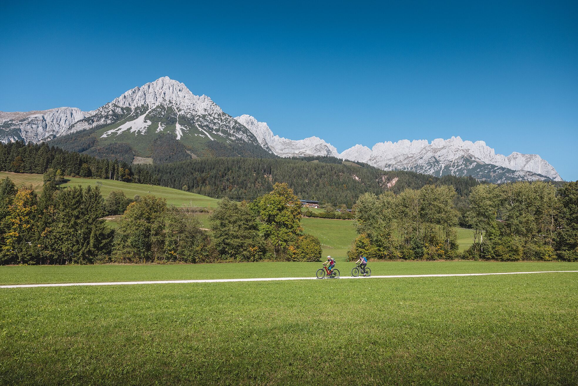
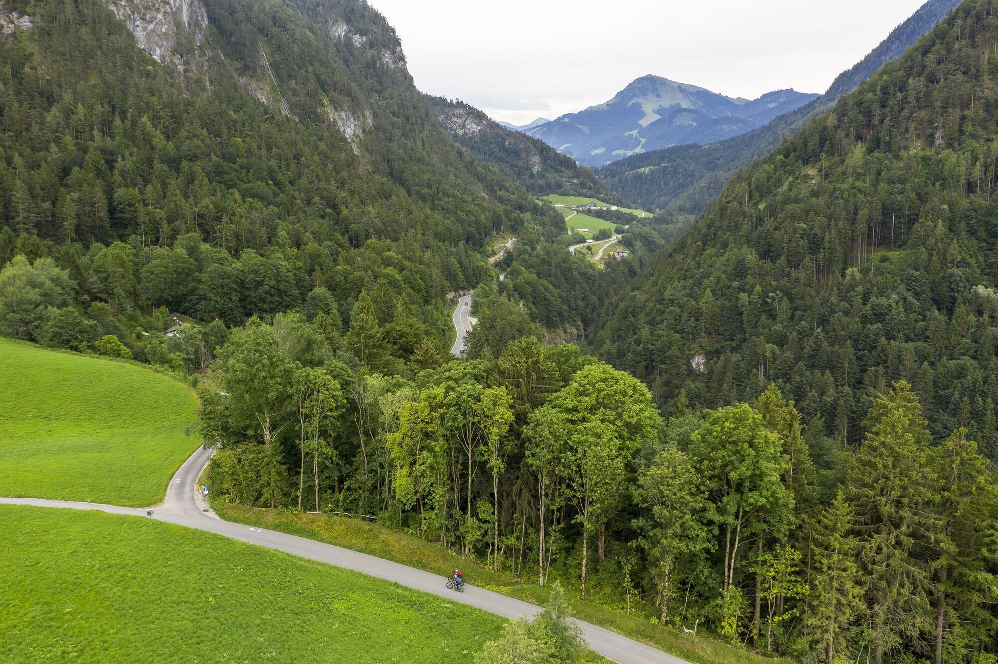
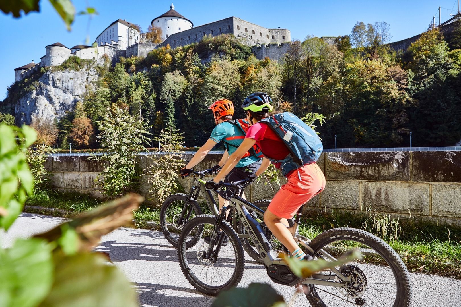
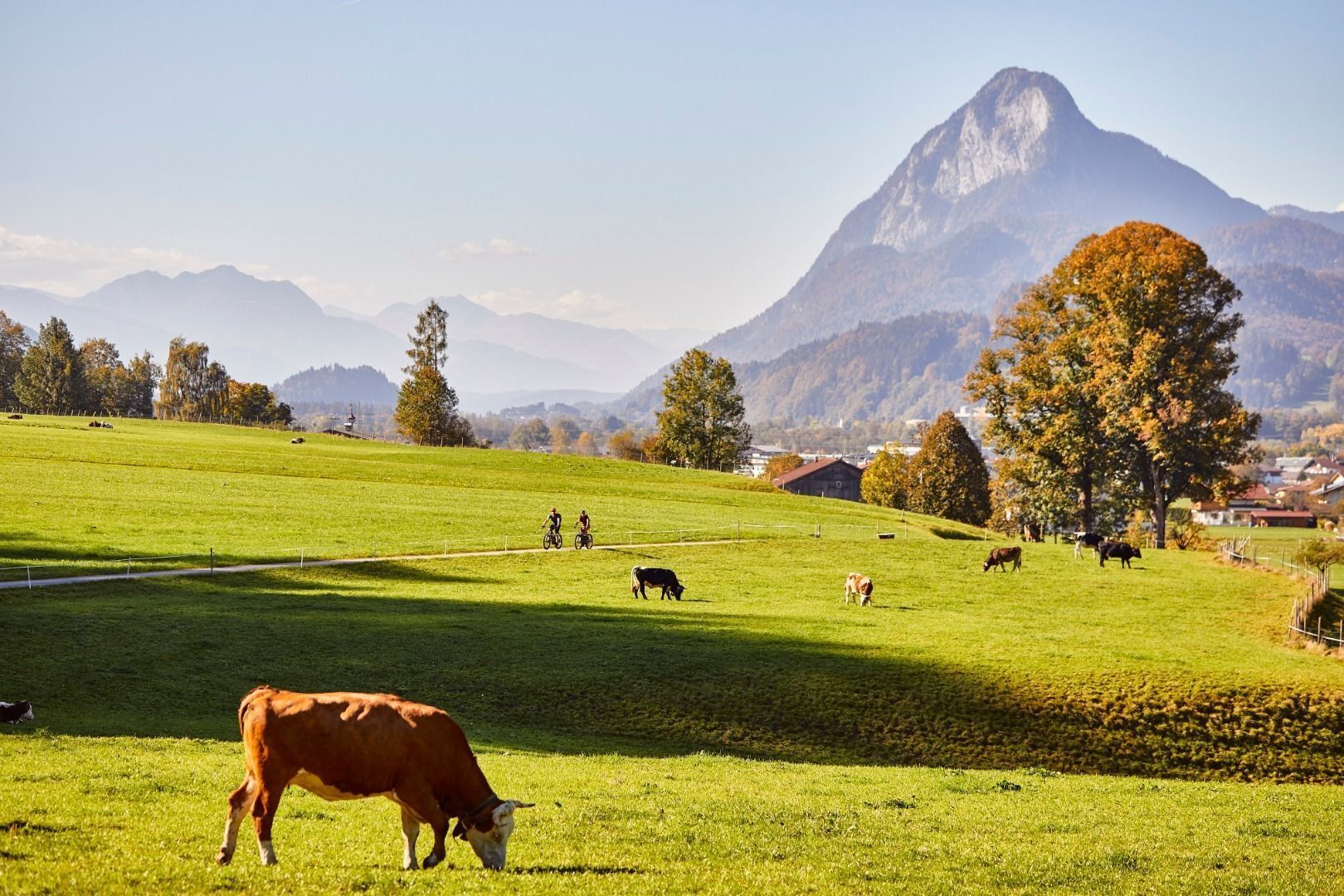
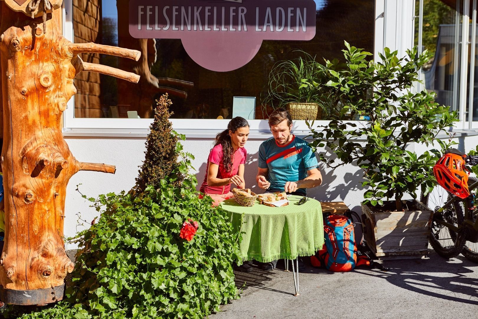
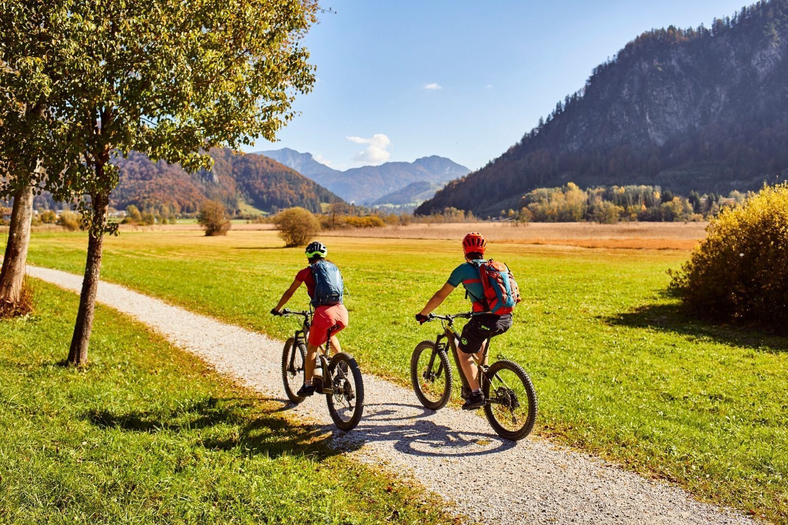
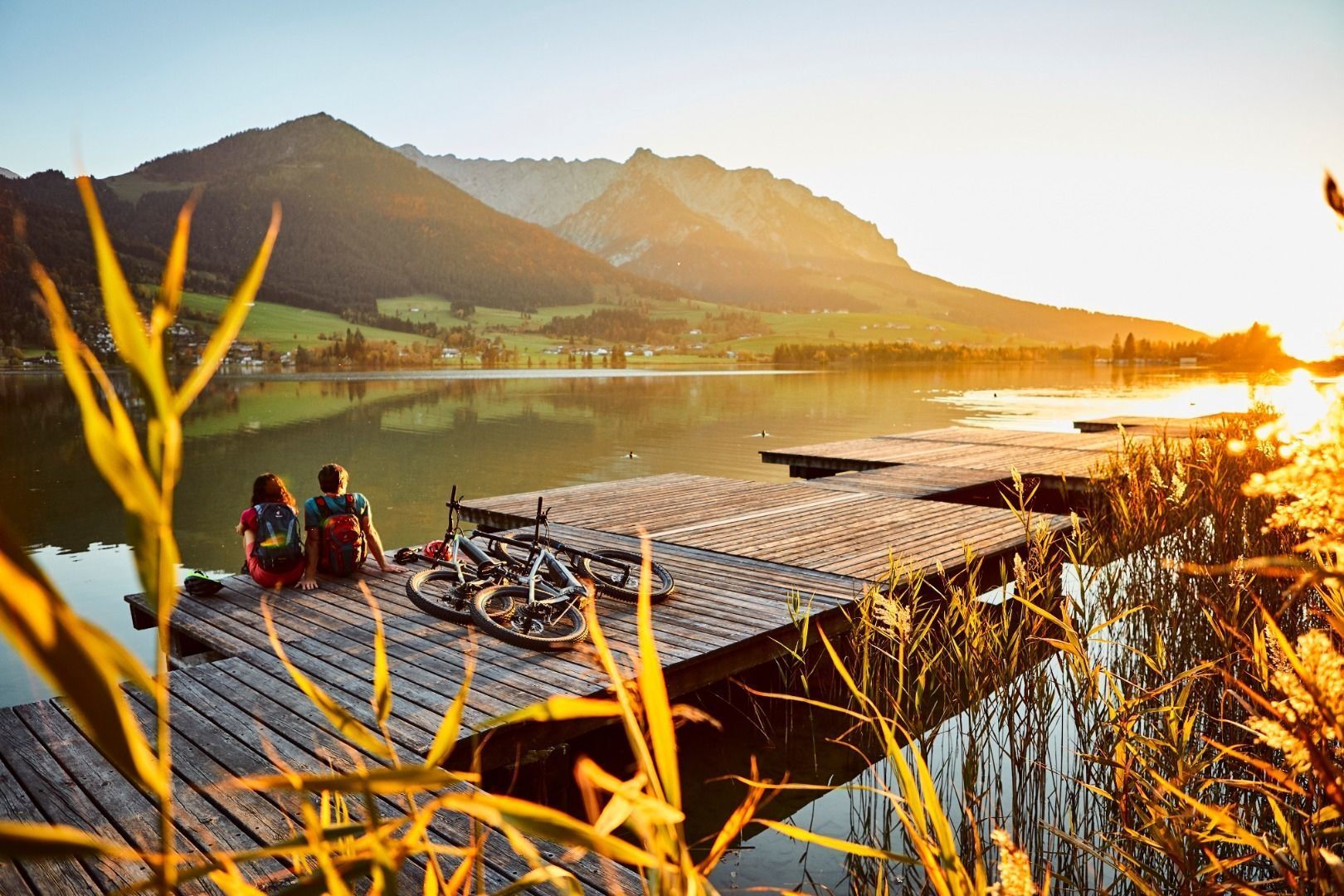
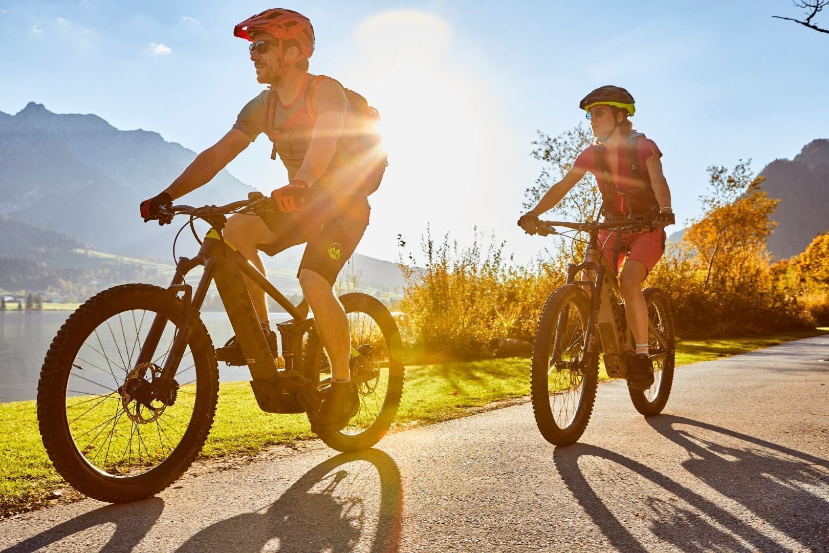
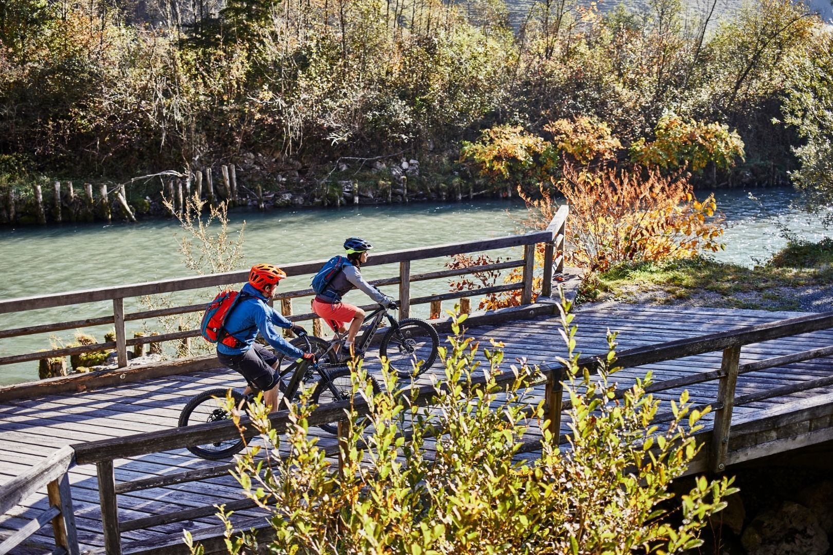
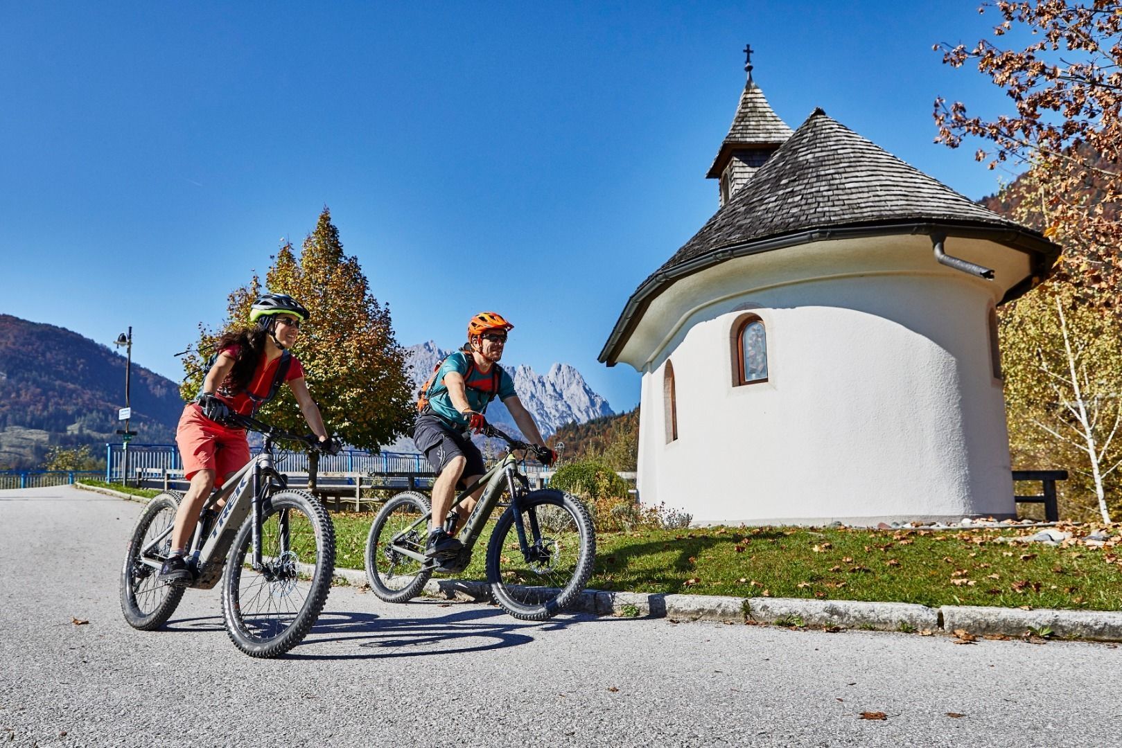
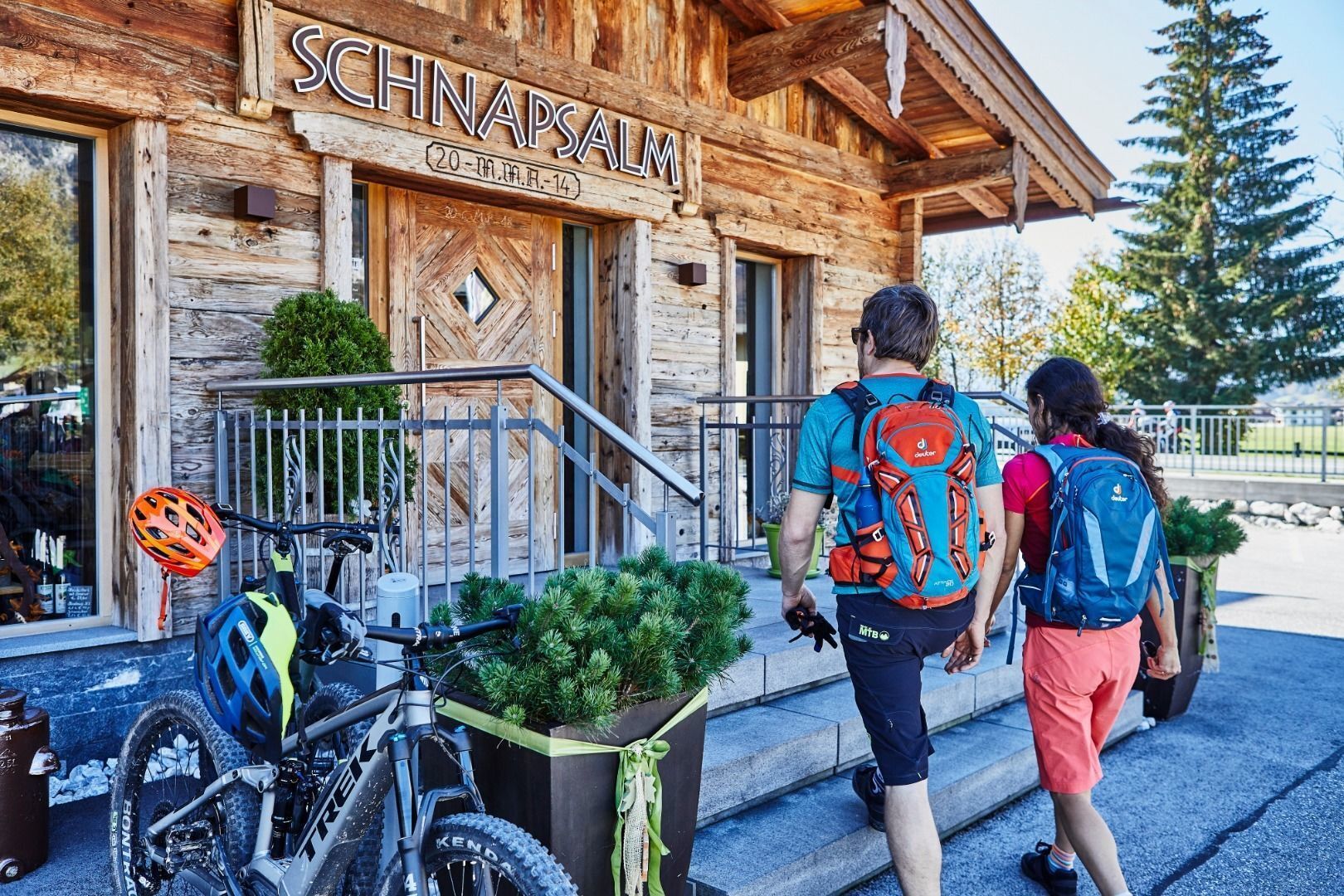
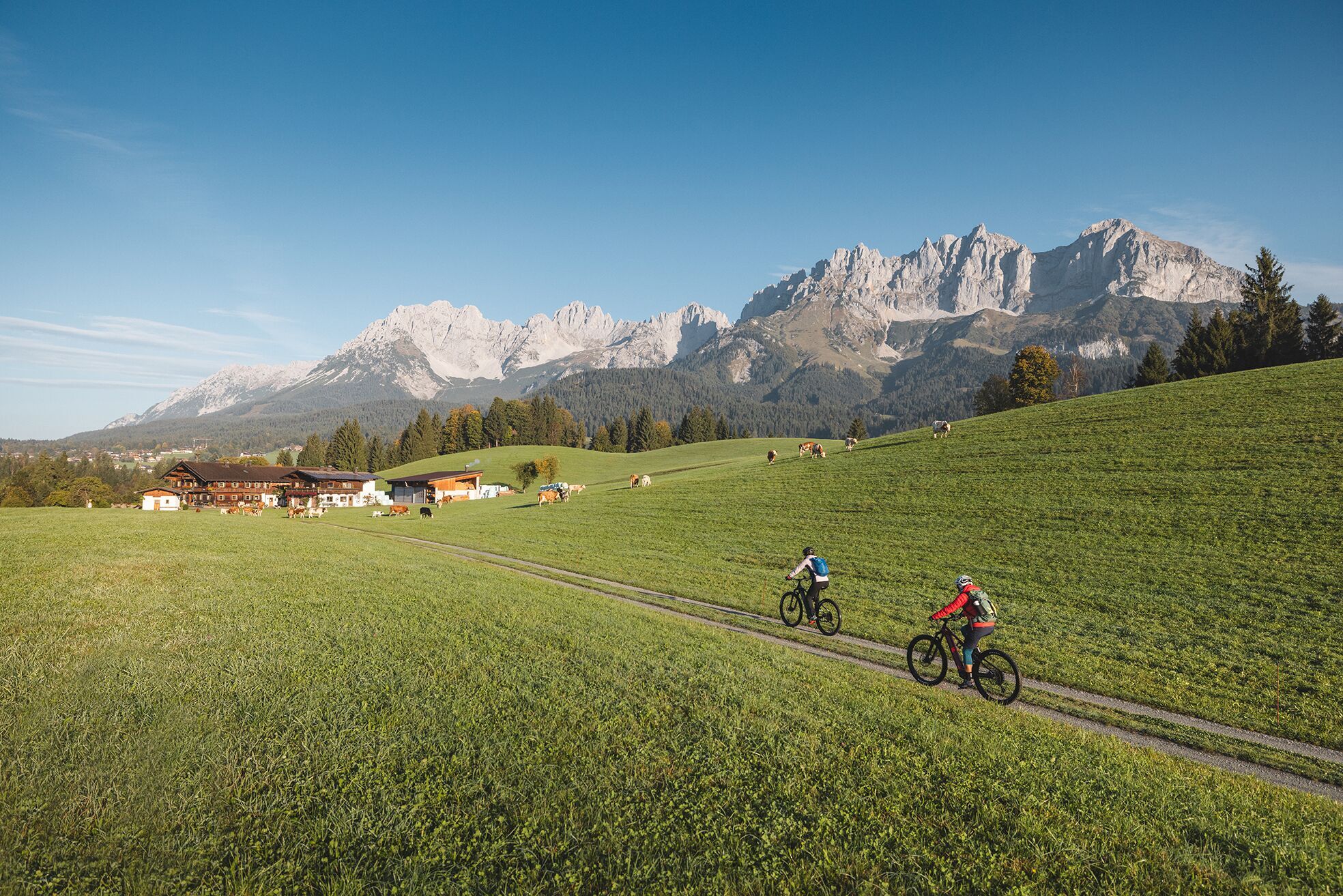
Calling bike fans of all ability levels! The Kaiser circular cycling route is an 80-kilometre bike route through the spectacular scenery of the Kaisergebirge mountain range. An excellent network of well-signposted trails (a mix of asphalt and gravel paths) leads past idyllic nature, breathtaking panoramas and cultural sights. For relaxing moments in between stages, cool lakes and local restaurants invite you to linger and enjoy.
- Difficoltà
-
difficile
- Valutazione
-
- Percorso
-
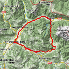
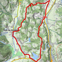
Kufstein1,4 kmEbbs10,7 kmMühltal12,4 kmWagrain-Mühltal12,5 kmWagrain12,9 kmPoint13,4 kmSebi14,0 kmBrand15,1 kmAsching16,5 kmBrandauerhof18,6 kmDurchholzen (690 m)18,6 kmKapelle Durchholzen18,9 kmLiftstüberl19,5 kmLiesfeld (686 m)19,6 kmAmberg20,2 kmBichl (705 m)20,8 kmOed (670 m)21,4 kmCafe am See21,9 kmAnnakapelle29,6 kmErlau30,2 kmKössen31,4 kmHeiliger Petrus und Paulus31,5 kmHütte32,9 kmThurnbichl33,4 kmSigis Sportklause33,9 kmErpfendorf45,2 kmKirchdorf in Tirol47,8 kmWiesen54,0 kmSteinern54,6 kmRettenbach54,6 kmUlmbichl54,8 kmSperten56,3 kmEberhartling57,5 kmRerobichl58,4 kmOberndorf in Tirol58,7 kmBergkapelle59,0 kmKreuzung Bergschmied59,3 kmDorfwirt64,1 kmGoing64,3 kmAlexandra64,6 kmEllmau66,2 kmPfarrkirche66,3 kmAu (806 m)66,8 kmSteinerner Tisch (772 m)67,9 kmEllmauer Hof68,4 kmS'Kleine Wirtshaus Ellmau69,1 kmAuwinkel (742 m)69,2 kmOberau70,6 kmAm Trattenbach70,7 kmBlaiken71,8 kmBocking73,3 kmStockach75,1 kmEiberg79,9 kmEgerbach Kapelle81,9 kmEgerbach82,1 kmEndach84,9 kmKufstein85,4 km
- La stagione migliore
-
genfebmaraprmaggiulugagosetottnovdic
- Punto più alto
- 805 m
- Destinazione
-
anywhere along the tour
- Profilo altimetrico
-

- Autore
-
Il tour Kaiser circular cycling route è utilizzato da outdooractive.com fornito.
GPS Downloads


Info generali
Punto di ristoro
Culturale/Storico
Promettente
Altri tour nelle regioni
-
Wilder Kaiser
81
-
Ellmau
45