© TVB Tannheimer Tal

© Outdooractive Redaktion - Hartmut Wimmer
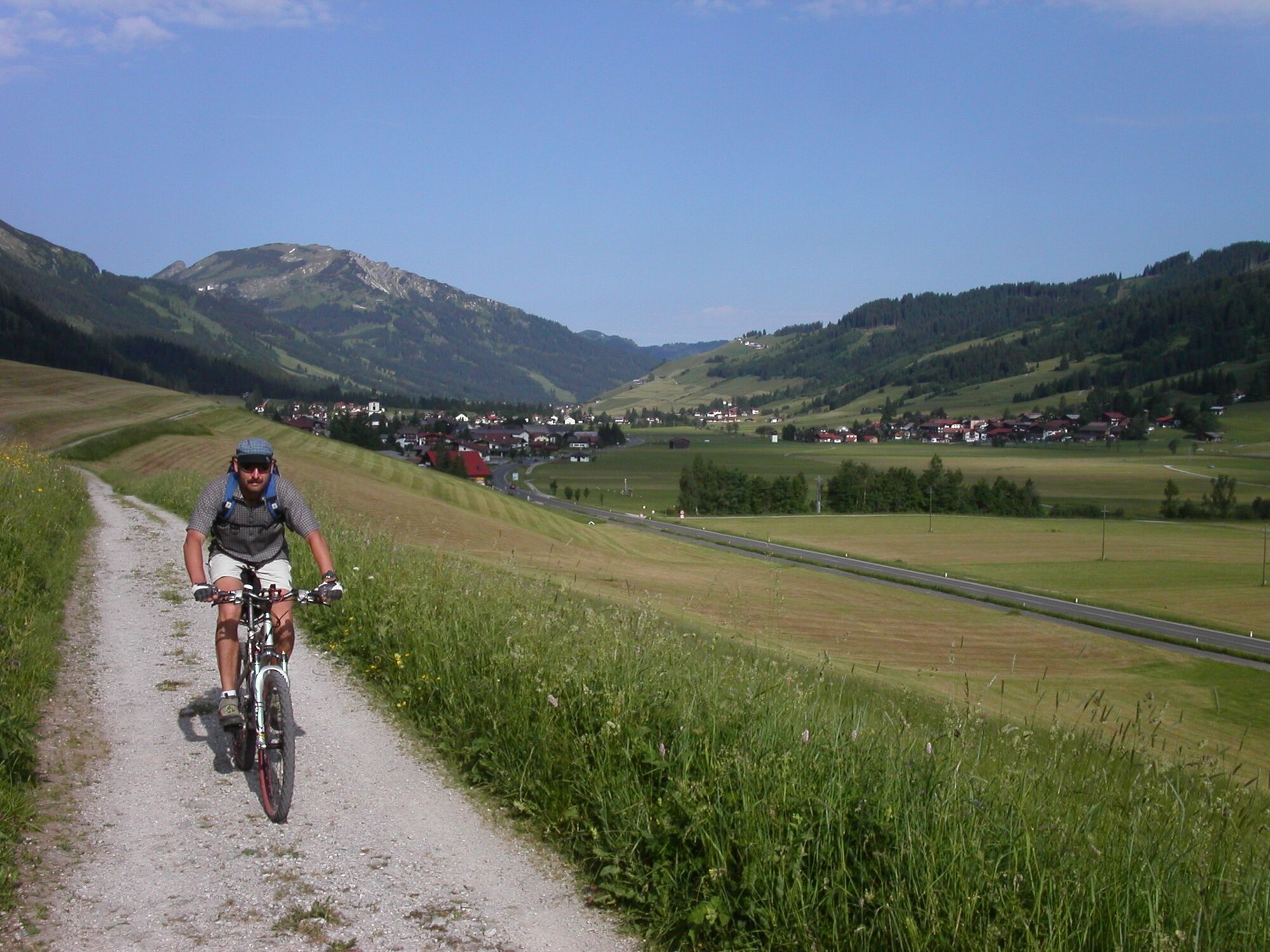
© Tannheimer Tal - Michael Keller

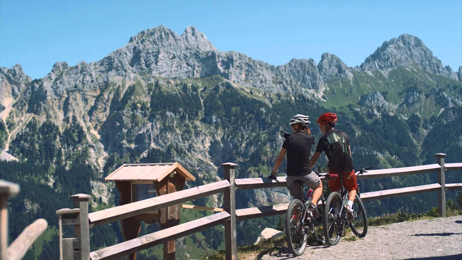
© Outdooractive Premium - Hartmut Wimmer
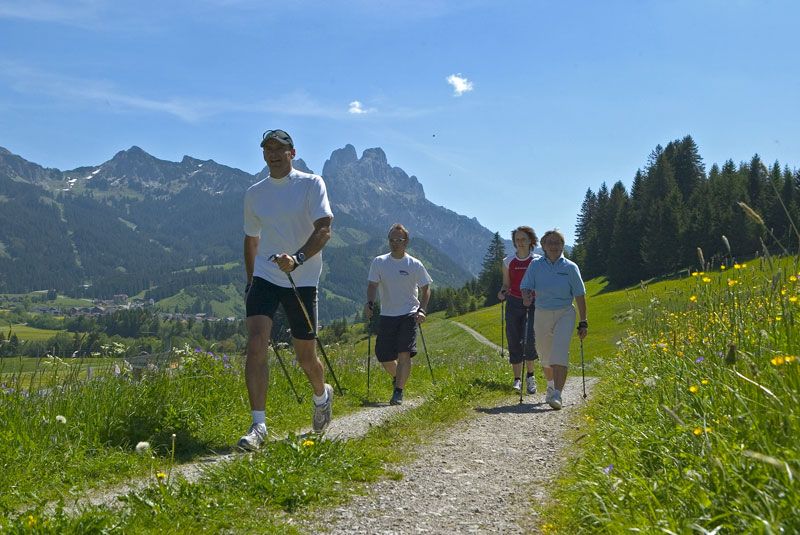
© Ferienregion Tannheimer Tal
© Ferienregion Tannheimer Tal
- Descrizione rapida
-
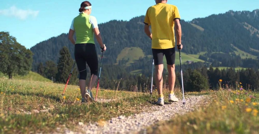
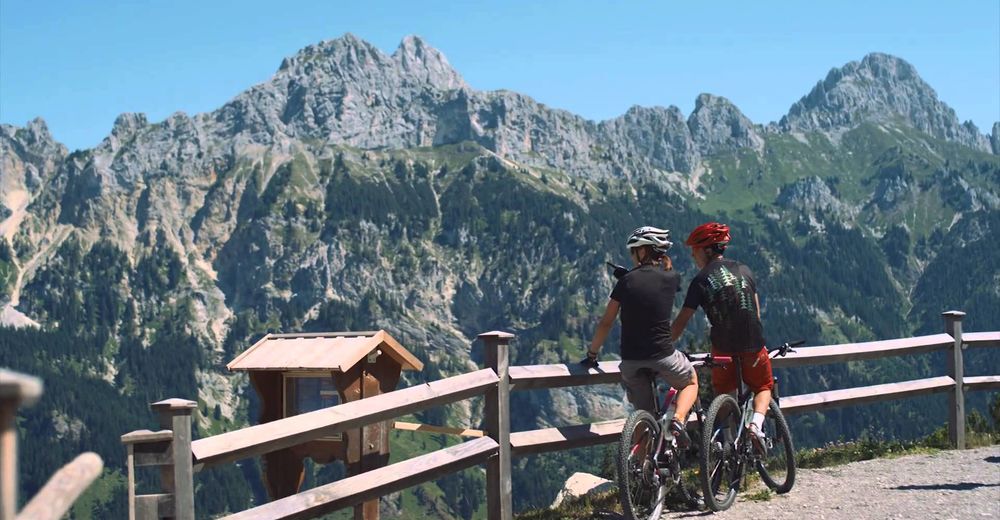
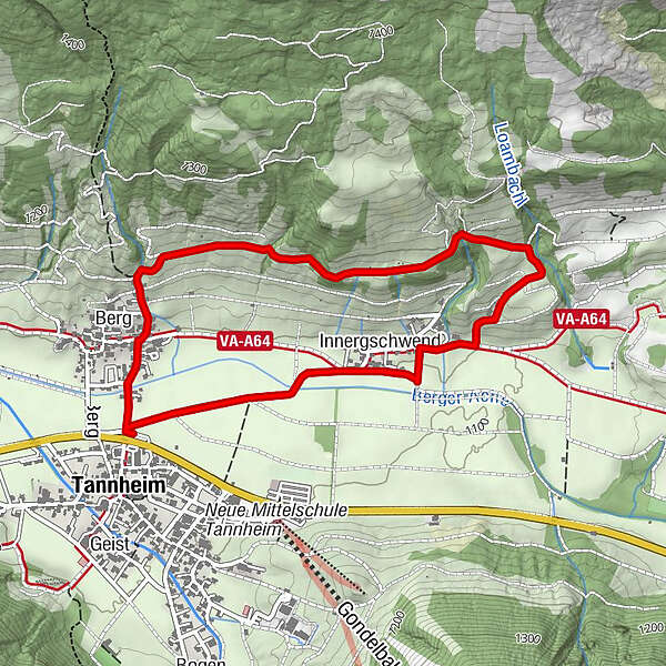
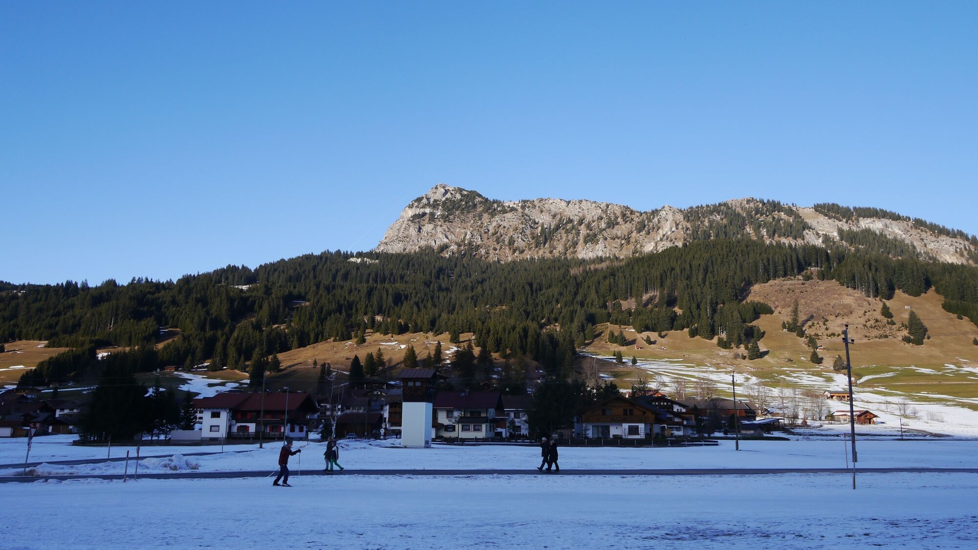
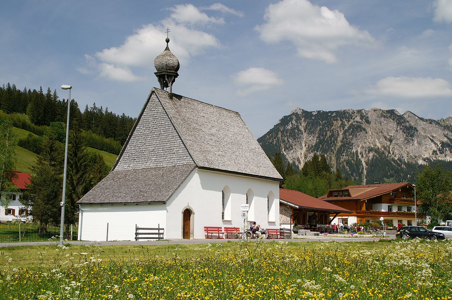
Nice round trip on the Höhenweg in Tannheim.
- Difficoltà
-
facile
- Valutazione
-
- Percorso
-
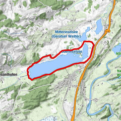
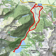
Tannheim (1.097 m)Berg0,3 kmInnergschwend3,3 kmSt. Martin3,4 kmTannheim (1.097 m)4,3 km
- La stagione migliore
-
genfebmaraprmaggiulugagosetottnovdic
- Punto più alto
- 1.193 m
- Destinazione
-
Berg car park in Tannheim
- Profilo altimetrico
-

- Autore
-
Il tour Höhenweg-Round in Tannheim è utilizzato da outdooractive.com fornito.
GPS Downloads


Info generali
Punto di ristoro
Suggerimento
Flora
Fauna
Promettente
Altri tour nelle regioni
-
Allgäu
101
-
Tannheimer Tal
47
-
Tannheim
26