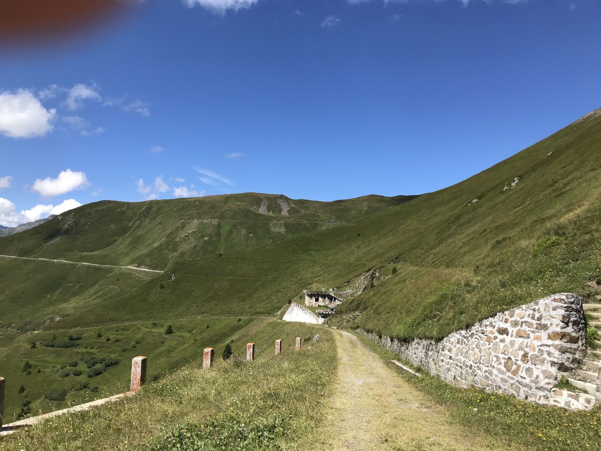
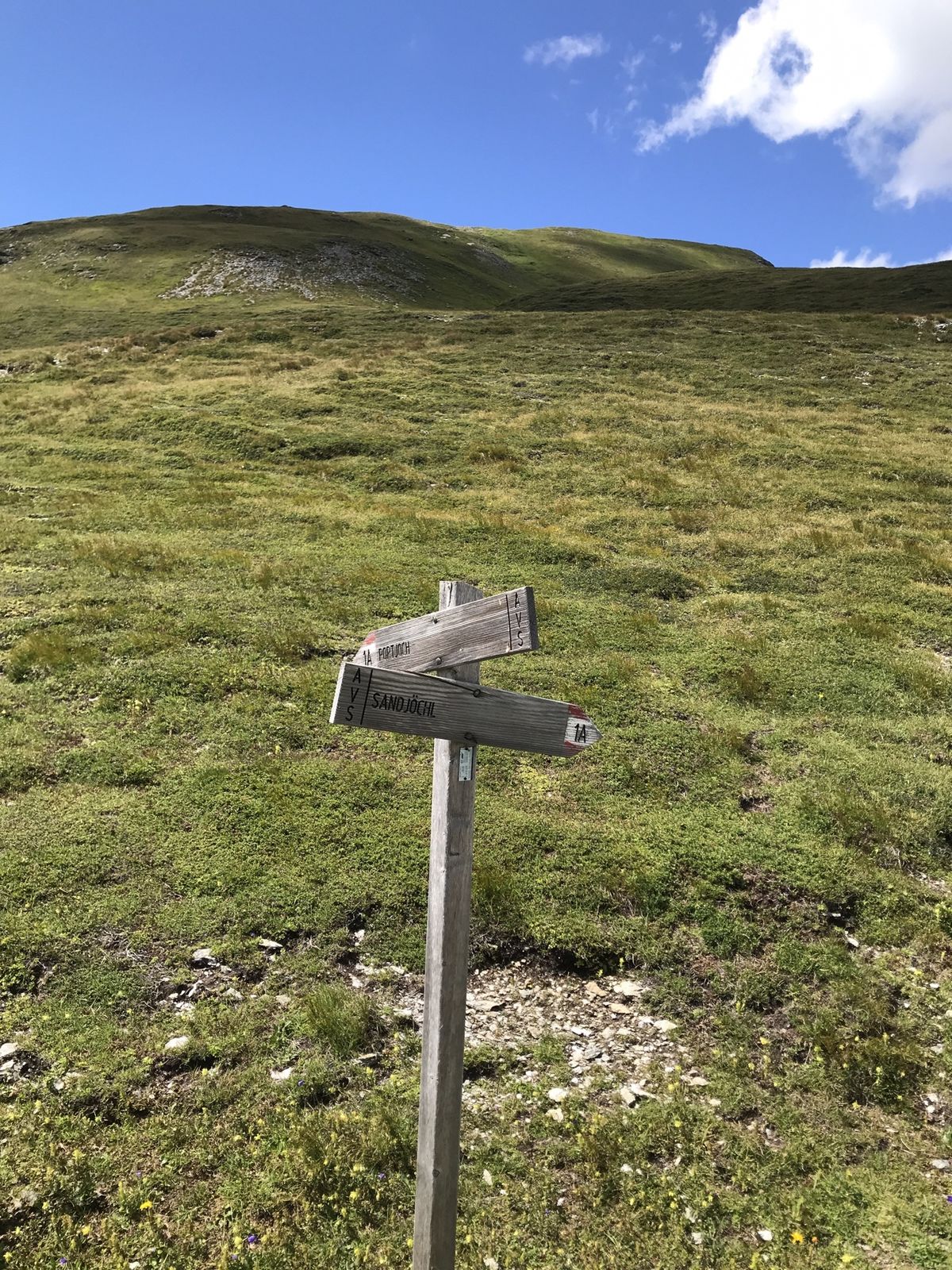
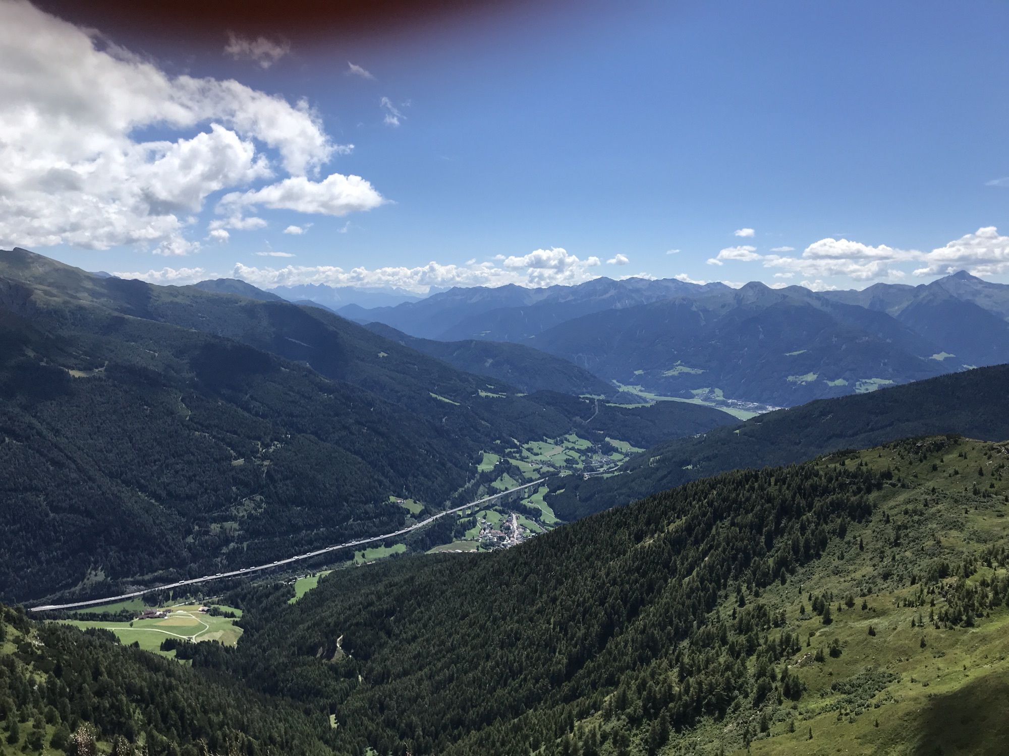
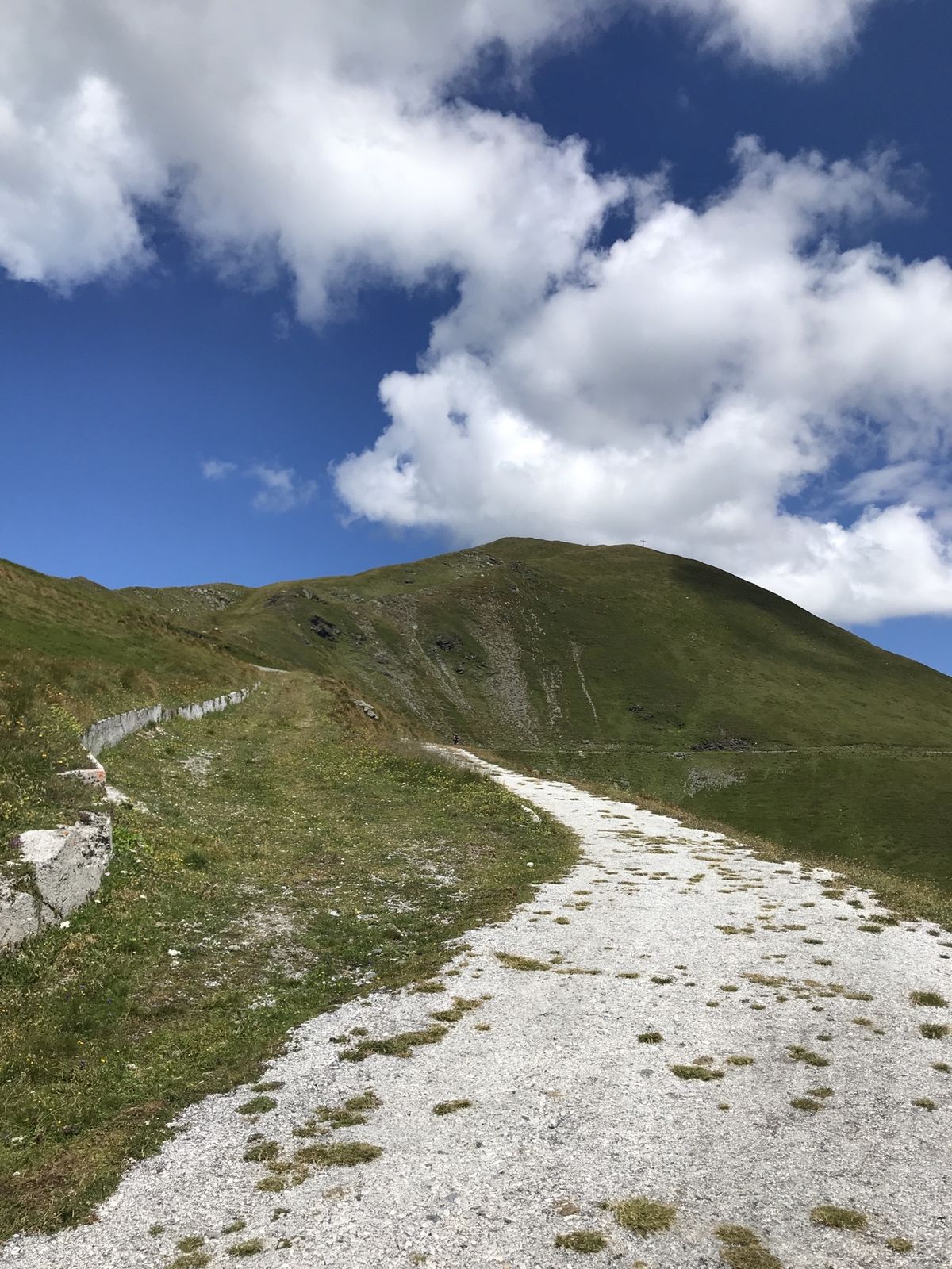
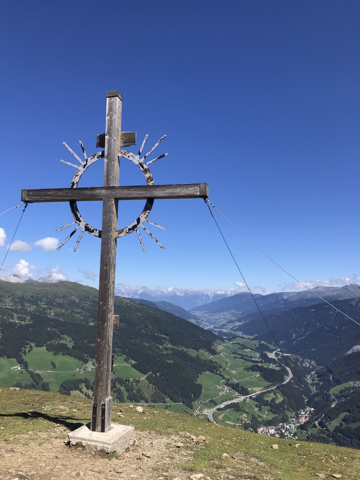
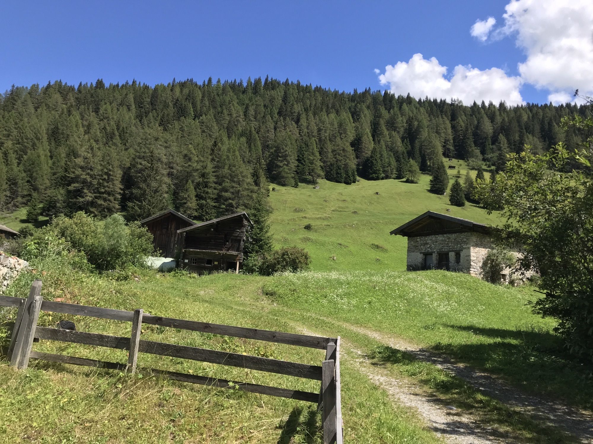
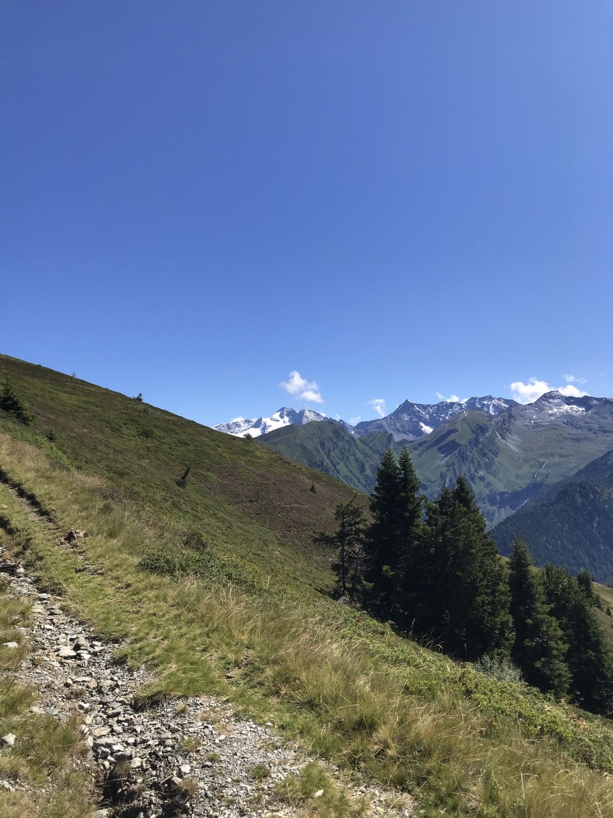
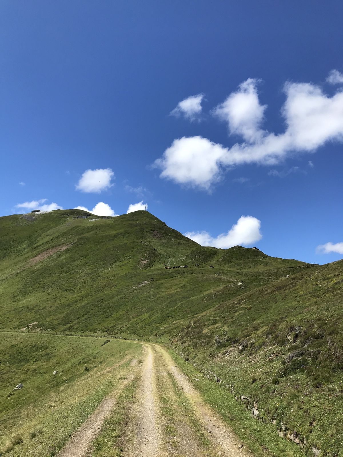
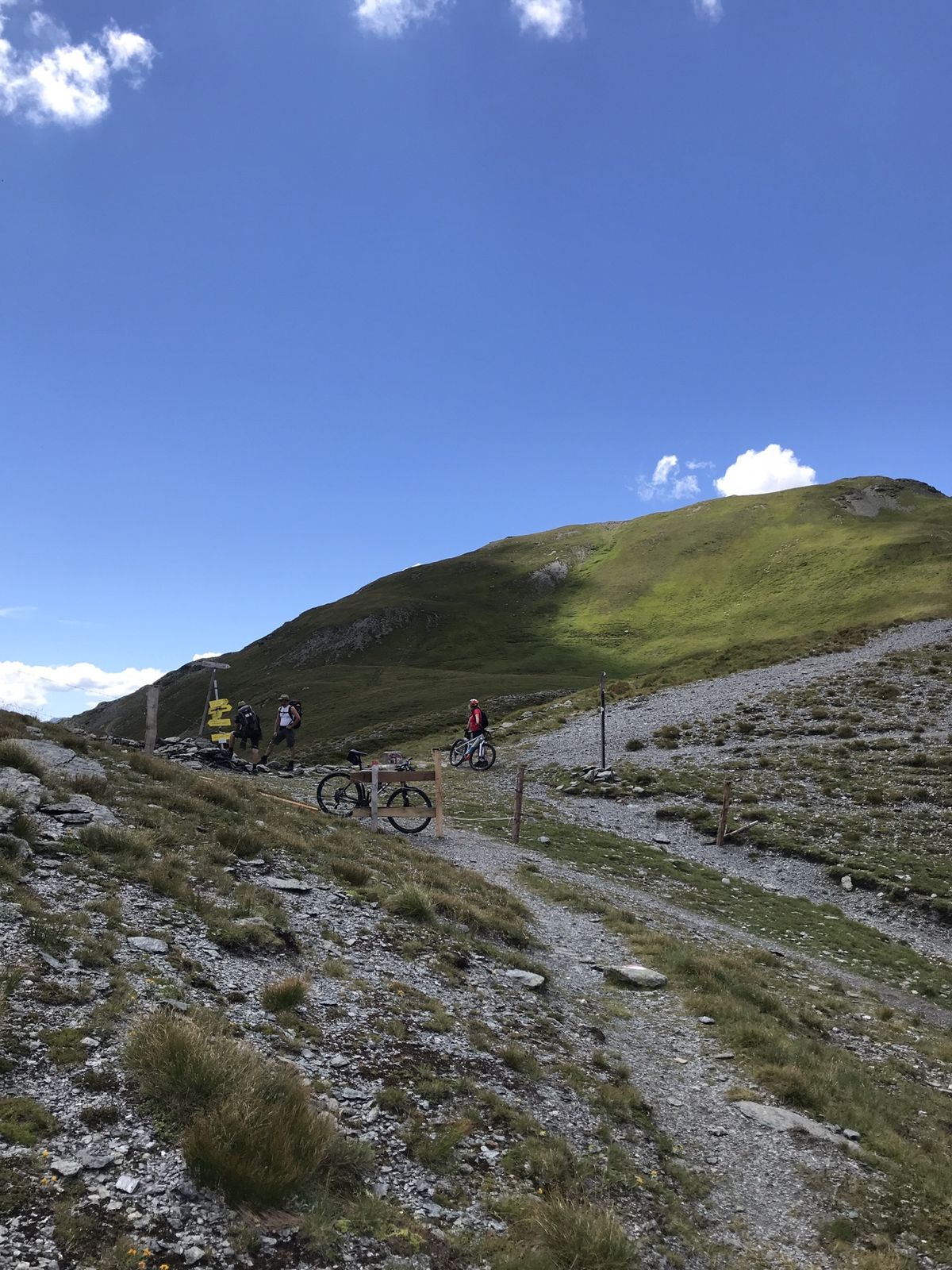
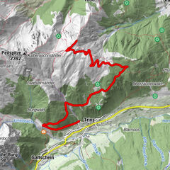
Von Vinaders auf den Sattelberg und zum Sandjoch

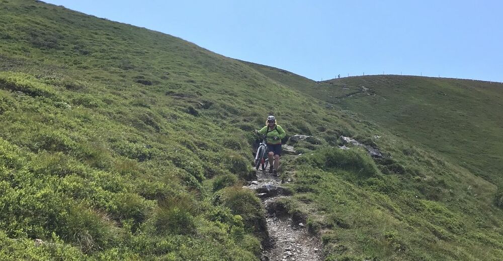
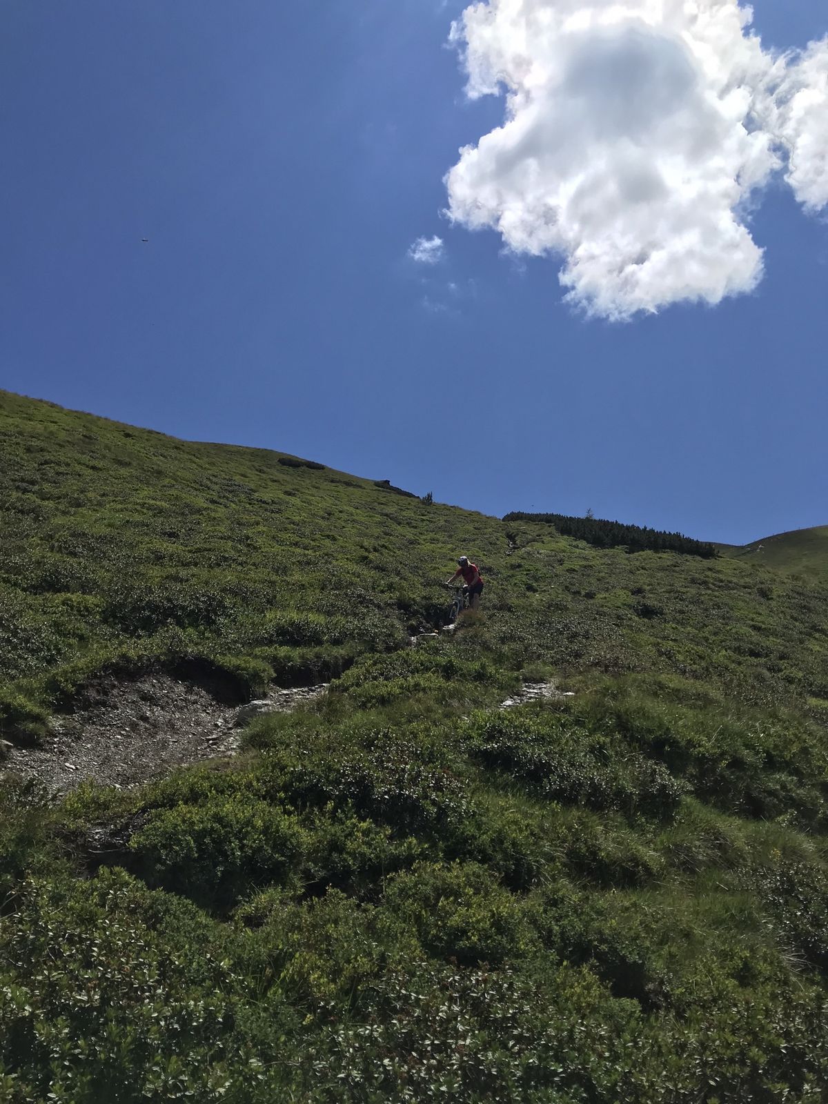
Mountainbike

Dati percorsi
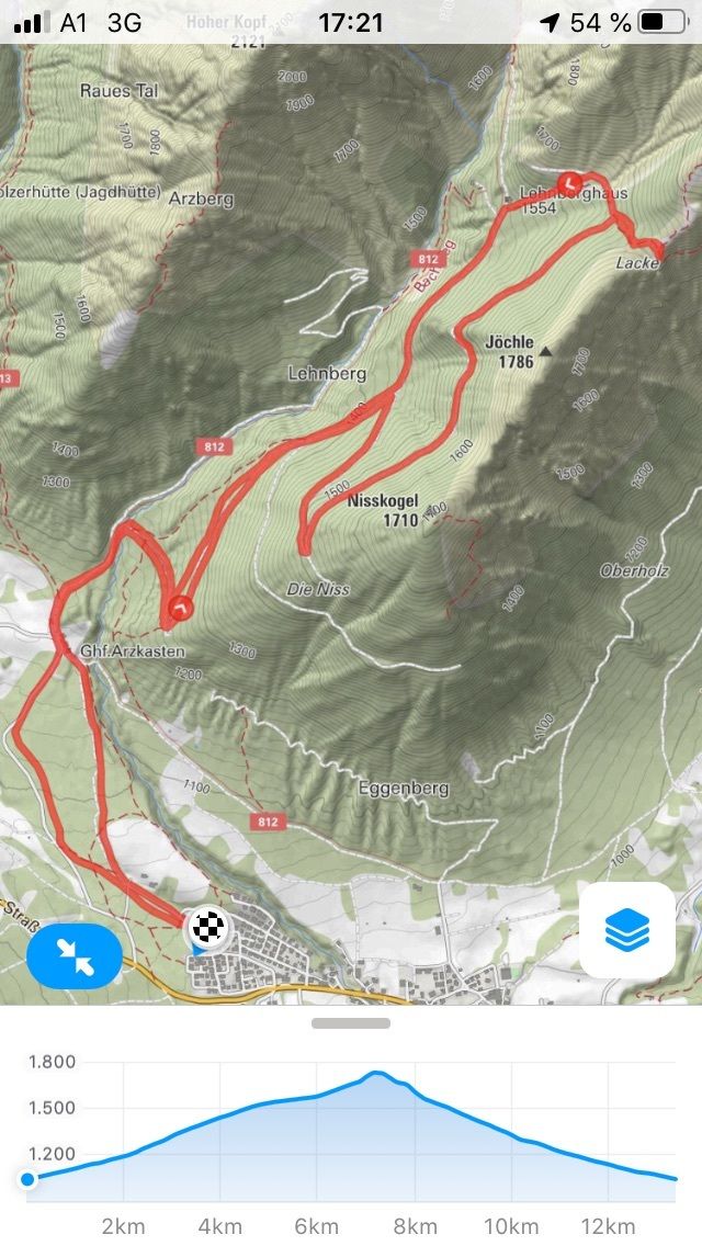
30,01km
1.269
- 2.205m
1.142hm
1.155hm
03:43h

- Descrizione rapida
-
MTB Sattelberg Sandjoch Grenzlandtour
- Difficoltà
-
intermedio
- Valutazione
-
- Percorso
-
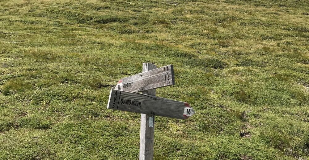
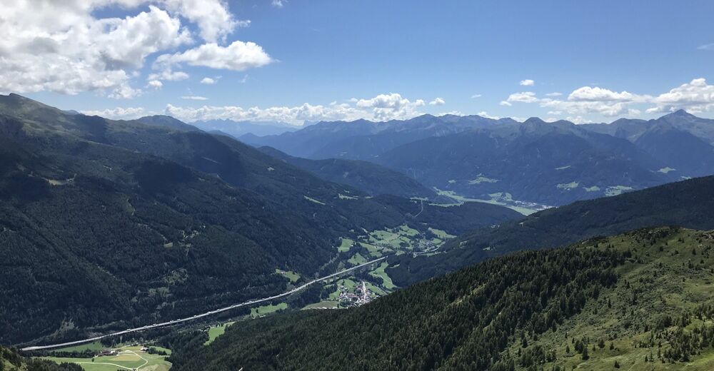
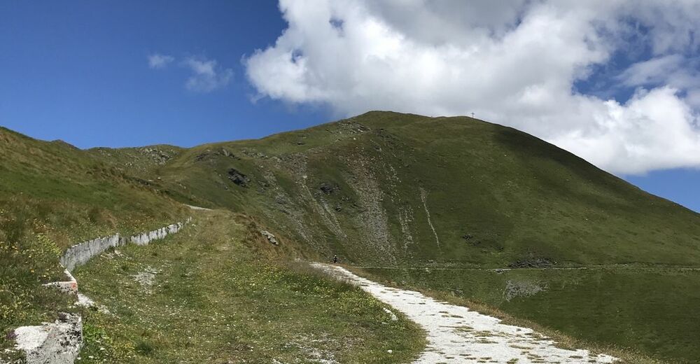
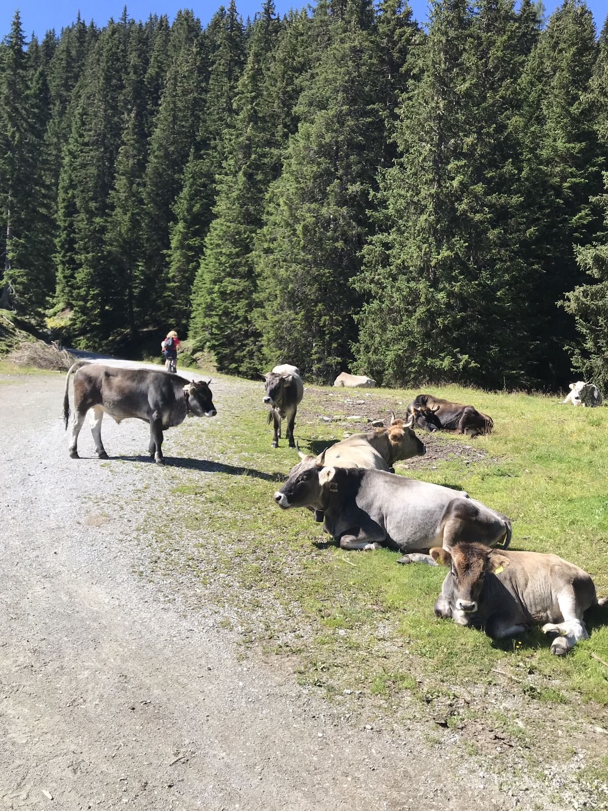
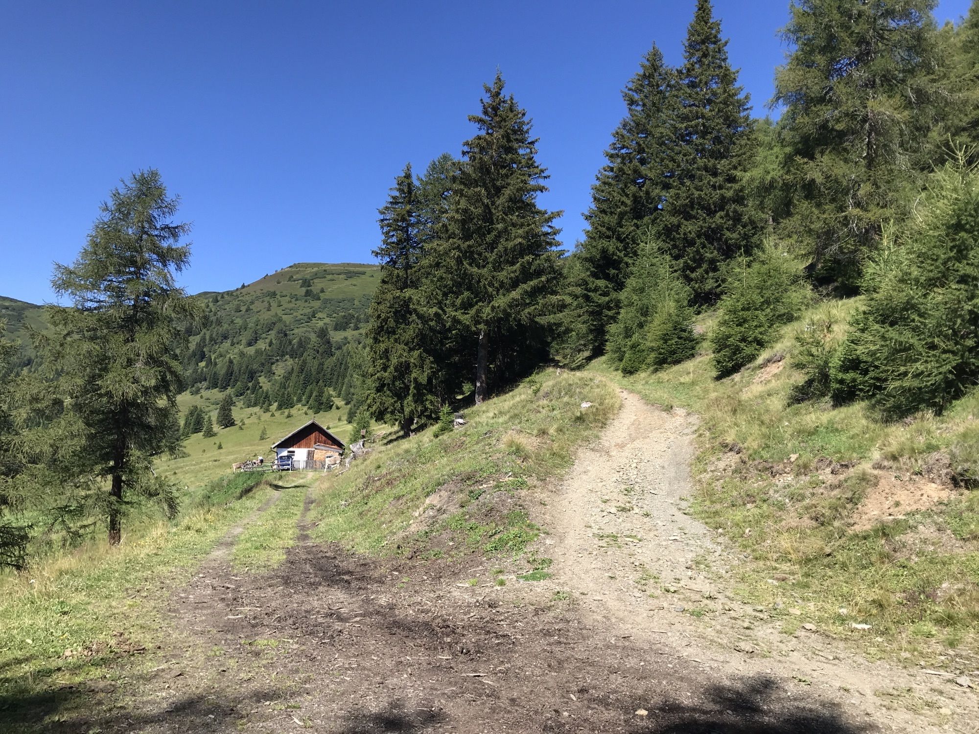
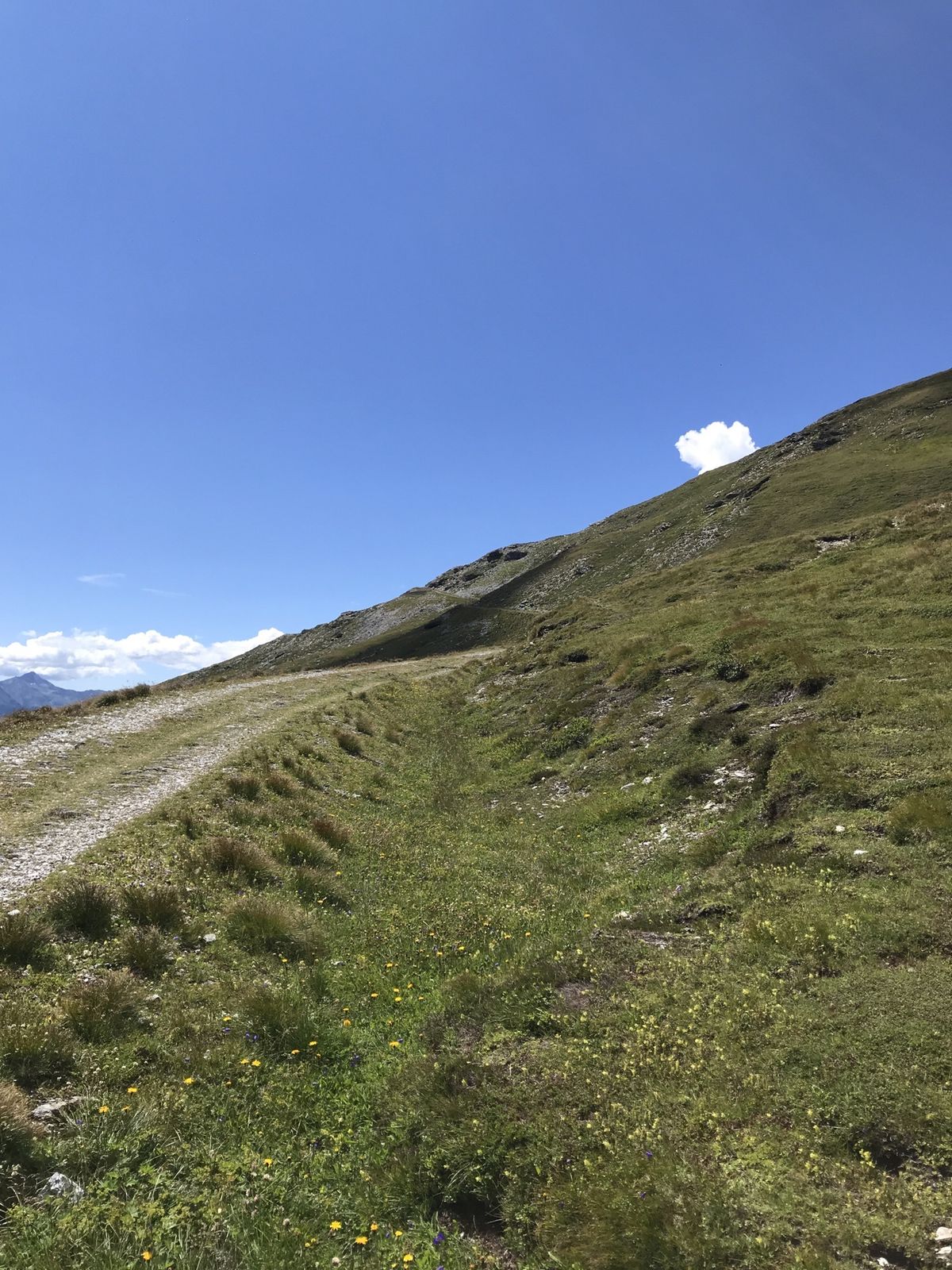
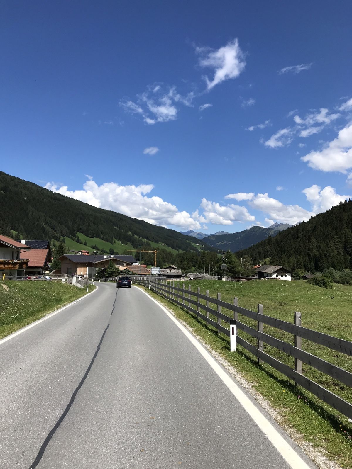
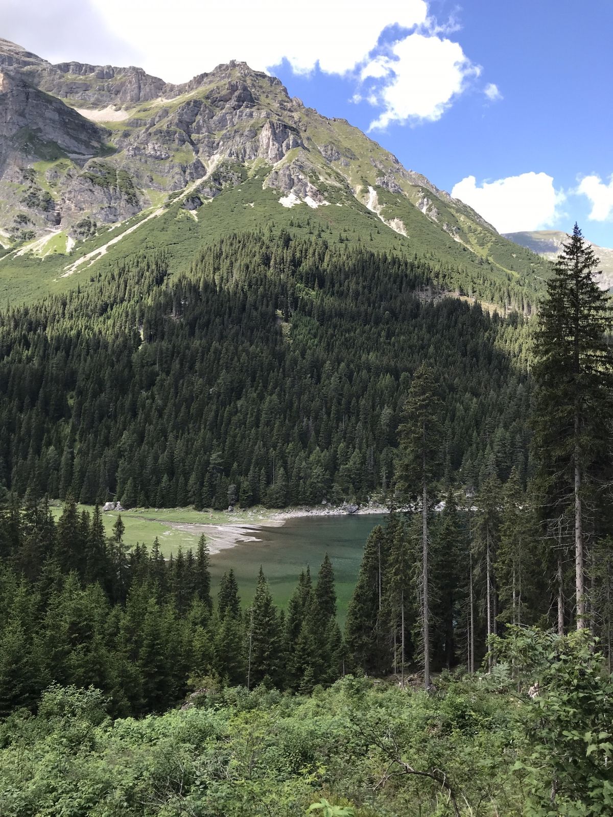
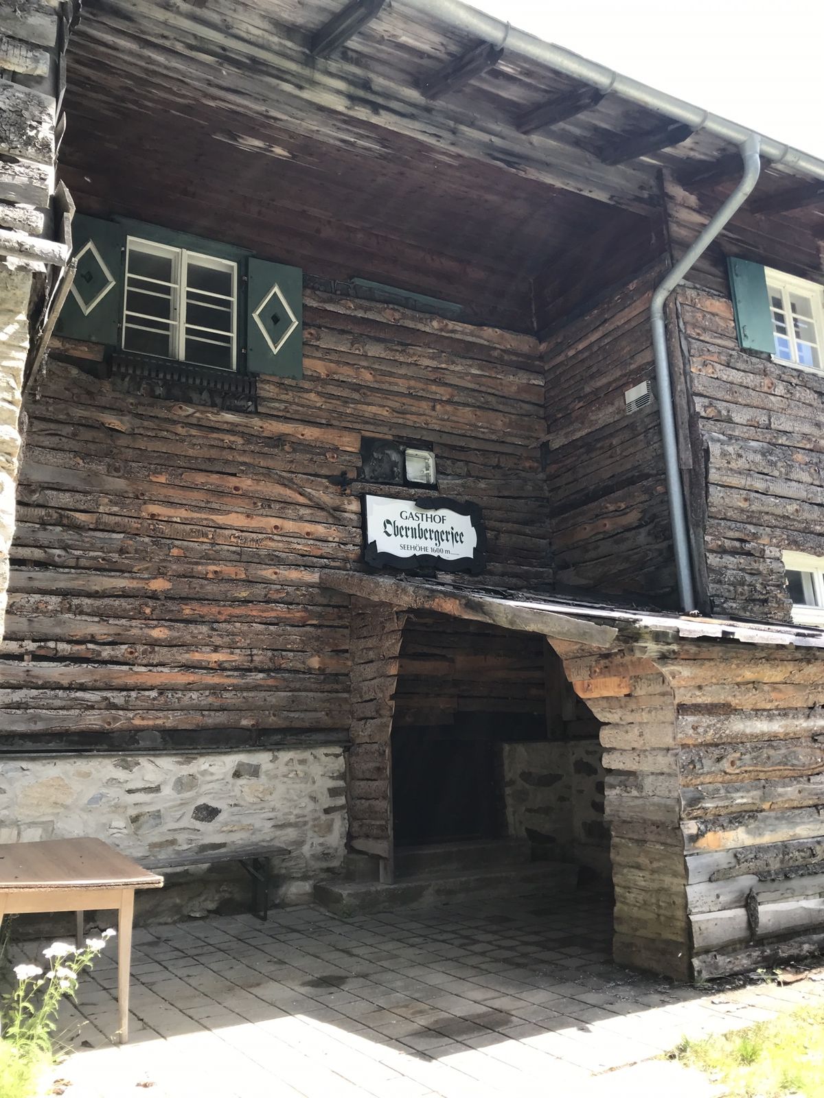
VinadersPasso del Cambio (2.124 m)14,8 kmehem. GH Obernbergsee22,9 kmGasthof Waldesruh24,4 kmGereit25,0 kmInnertal25,8 kmObernberg am Brenner (1.380 m)26,4 kmAlmi's Berghotel26,6 kmAußertal27,1 kmAu28,0 kmKapelle29,8 kmVinaders29,8 kmPfarrkirche zum hl. Leonhard29,9 kmTotenkapelle29,9 km
- La stagione migliore
-
genfebmaraprmaggiulugagosetottnovdic
- Punto più alto
- 2.205 m


GPS Downloads


Altri tour nelle regioni
-
Brixen und Umgebung
220
-
Gschnitztal
246
-
Obernberg am Brenner
60


")