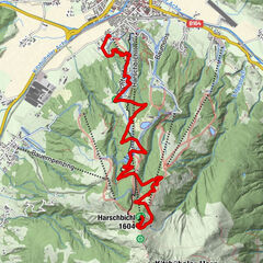
Route 208: Windautal - Rotwandalm/Filzenscharte

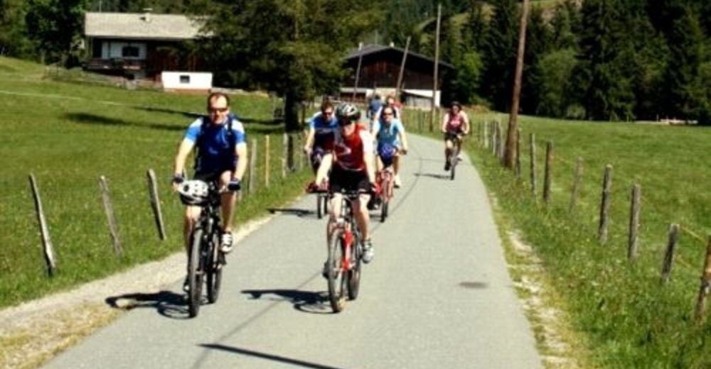
Mountainbike
Dati percorsi
22,78km
770
- 1.683m
1.052hm
02:30h
- Descrizione rapida
-
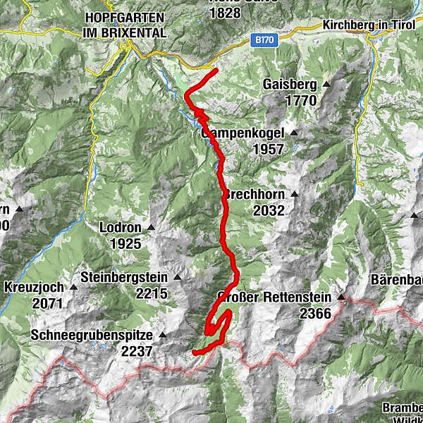
Streckenverlauf: Westendorf - Jägerhäusl - Gasthaus Steinberg - Gamskogelhütte - Rotwand Grundalm; Steckenlänge einfach: 23,25 km; Höhenunterschied: 938 m
- Difficoltà
-
difficile
- Valutazione
-
- Punto di partenza
-
Westendorf
- Percorso
-
Pfarrkirche zum Heiligen Nikolaus0,0 kmWestendorf0,1 kmHolzham0,4 kmRettenbach7,4 kmJagerhäusl7,6 kmGasthaus Steinberg (880 m)9,6 kmAhornau-Kapelle13,3 kmGamskogelhütte (1.210 m)14,1 kmOberfoisching Alm19,8 kmSchreier Bründl21,0 kmRotwand Grundalm (1.600 m)22,7 kmRotwand-Grundalm22,7 km
- La stagione migliore
-
genfebmaraprmaggiulugagosetottnovdic
- Punto più alto
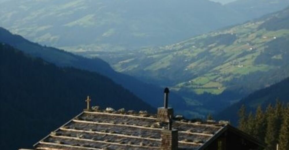
- 1.683 m
- Destinazione
-
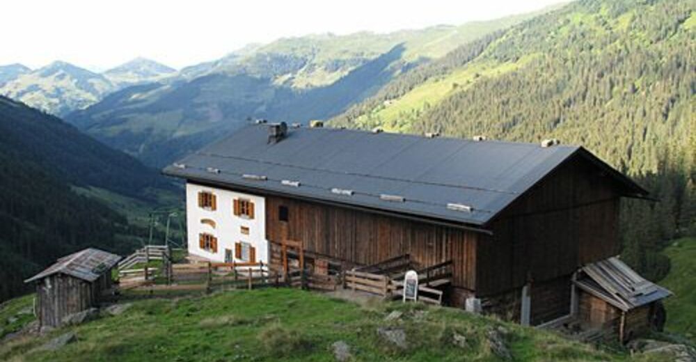
Rotwand Grundalm
- Riposo/Ritiro
-
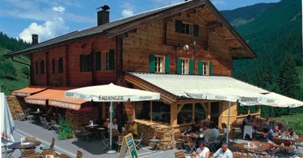
Jägerhäusl, Gasthaus Steinberg, Gamskogelhütte, Rotwand Grundalm
- Cartine
-
KitzalpBike Mountainbike- und Radwanderkarte Region Kitzbühel - Brixental - St. Johann in Tirol, Tourentipps in der Region: die Kitzbüheler Alpen & das Kaisergebirge warten auf dich;


- Telefono informazioni
-
+43 5357 2000 300
- Link
- http://www.kitzbuehel-alpen.com
GPS Downloads


Percorsi
Asfalto
Ghiaia
Foresta
Vie di montagna
Singletrail
Trial
Traffico
Altri tour nelle regioni