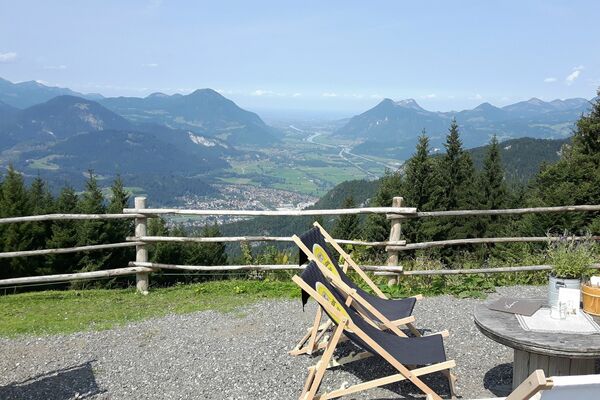
Route 257: Kobingerhütte

Logo Route 257: Kobingerhütte
Dati percorsi
9,95km
837 - 1.501m
Distanz
664hm
L'ascesa
02:00h
 
Durata
Descrizione rapida

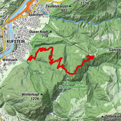
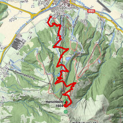
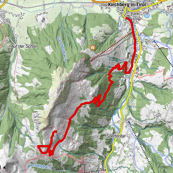
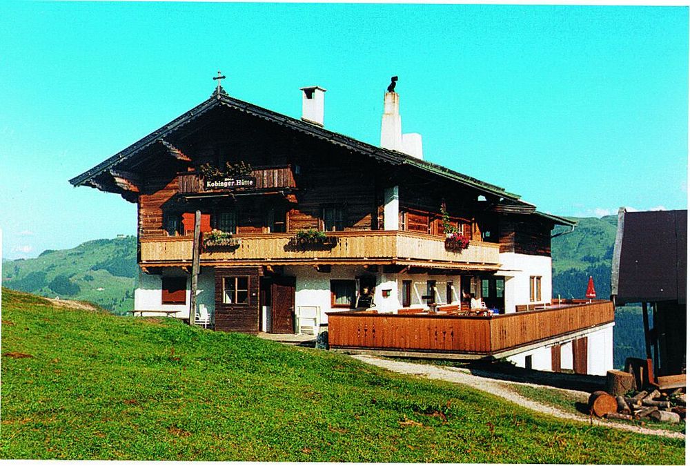
Streckenverlauf: Kirchberg - Kobingerhütte; Streckenlänge: 8 km; Höhenunterschied: 664 m

Valutazione
Tecnica
Forma fisica
Panorama
Avventura / Esperienza
Punto di partenza

Kirchberg

Percorso
Kirchberg in Tirol
Wiegalm
8,9 km
Sonnleitnerhütte
9,9 km
Harlasangeralm
9,9 km
Kobingerhütte
9,9 km


Punto più alto
1.501 m

Cartine

KitzalpBike Mountainbike- und Radwanderkarte
Region Kitzbühel - Brixental - St. Johann in Tirol


Valutazione complessiva

5

0

%

4

0

%

3

0

%

2

0

%

1

0

%

Errore
Si è verificato un errore. Si prega di riprovare.
Grazie per la vostra recensione

La valutazione è stata cancellata

GPS Downloads
  • GPX GPS Exchange Format (XML)
  • KML Google Earth, Google Maps
Codici di download QR per telefoni cellulari

Percorsi

Asfalto
Ghiaia
Vie di montagna
Singletrail
Trial
Traffico
Altri tour nelle regioni

Tour popolari della zona

Weinbergerhaus (1.273 m)

intermedio Mountainbike
7,74km | 807hm | 01:36h

St. Johann in Tirol: Mountainbikestrecke Harschbichl

Mountainbike
9,2km | 917hm | 02:00h

Route 209: Brechhornhaus-Choralpe

difficile Mountainbike
24,4km | 1015hm | 03:00h