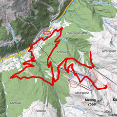

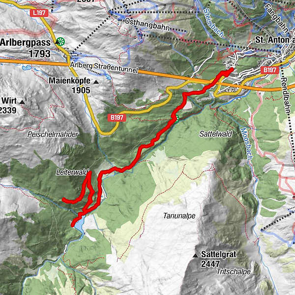
Dati percorsi
13,02km
1.419
- 1.656m
283hm
293hm
01:00h
- Descrizione rapida
-
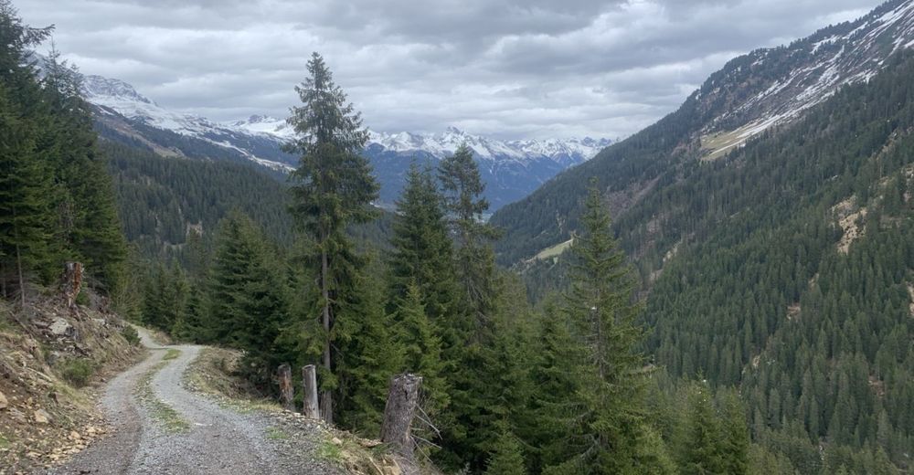
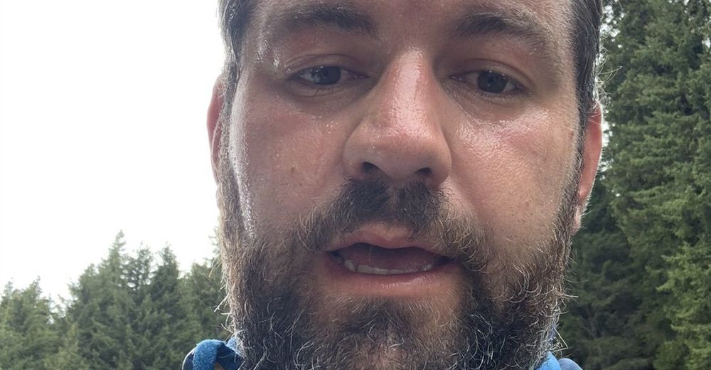
Erste Tour mit meinem Bike wahr Gut aber tot bin ich
- Difficoltà
-
intermedio
- Valutazione
-
- Percorso
-
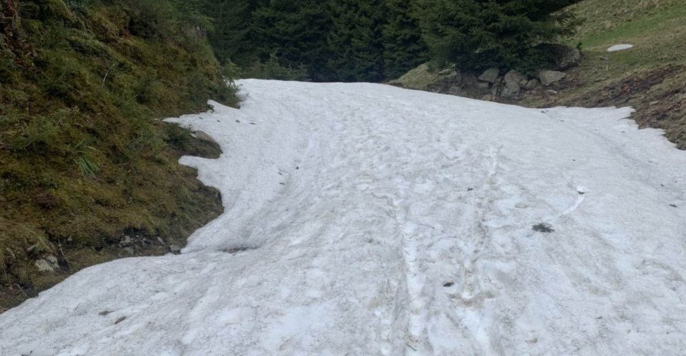
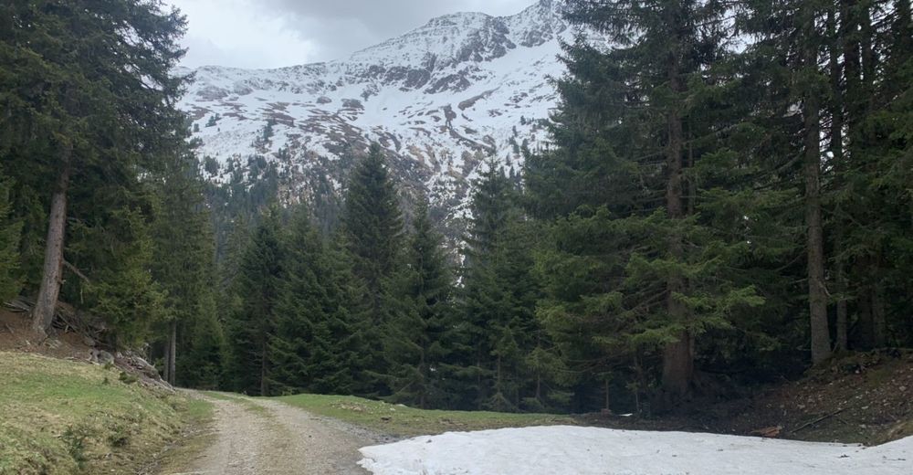
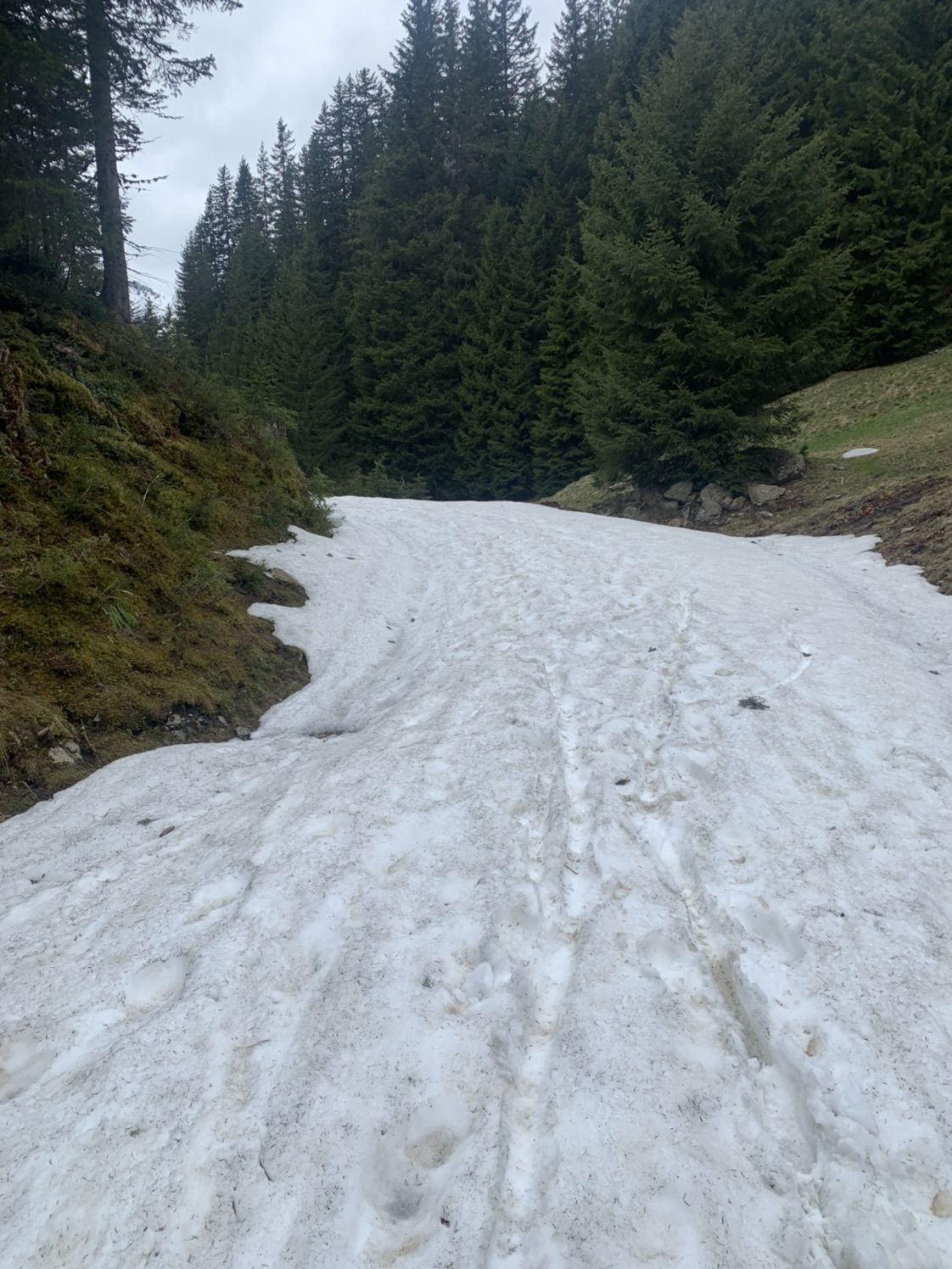
Stiegeneckkapelle1,4 kmWagner Hütte3,8 kmStiegeneckkapelle11,1 km
- Punto più alto
- 1.656 m


GPS Downloads


Altri tour nelle regioni