© Jörg
© Jörg
© Jörg
© Jörg
© Jörg
Dati percorsi
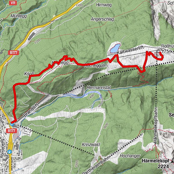
4,01km
1.234
- 1.750m
510hm
510hm
01:30h
- Descrizione rapida
-
schöne Aussicht mit sehr steilen letzten Drittel
- Difficoltà
-
difficile
- Valutazione
-
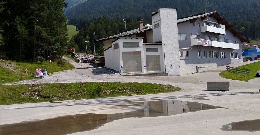
- Punto di partenza
-
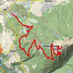
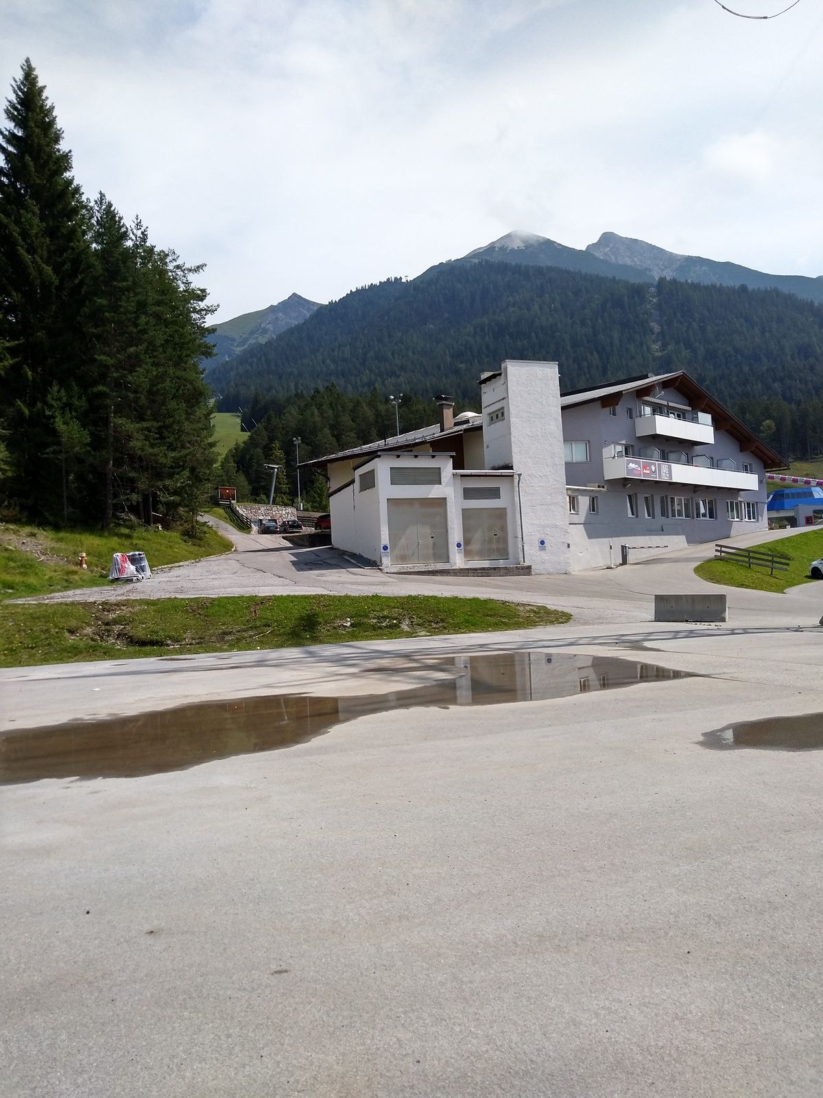
Talstation
- Percorso
-
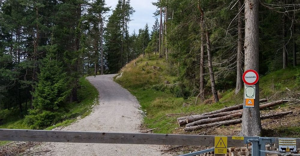
Hocheggalm2,0 km
- La stagione migliore
-
genfebmaraprmaggiulugagosetottnovdic
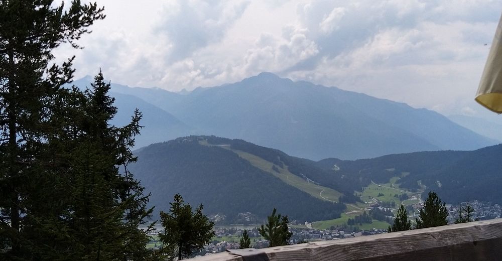
- Punto più alto
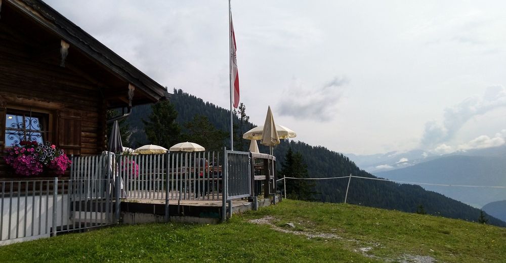
- Rosshütte (1.750 m)
- Destinazione
-
Rosshütte
- Riposo/Ritiro
-
Hocheggalm
- Cartine
-
Kompass WK26
- Telefono informazioni
-
0521224160
- Link
- https://www.facebook.com/EMountainbikeHuettenga...
- Fonte
- Jörg
GPS Downloads


Percorsi
Asfalto
Ghiaia
(100%)
Foresta
Vie di montagna
Singletrail
Trial
Traffico
Altri tour nelle regioni