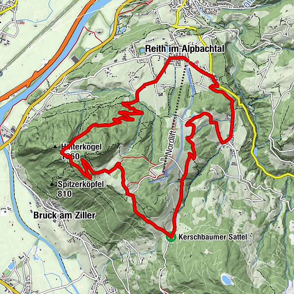
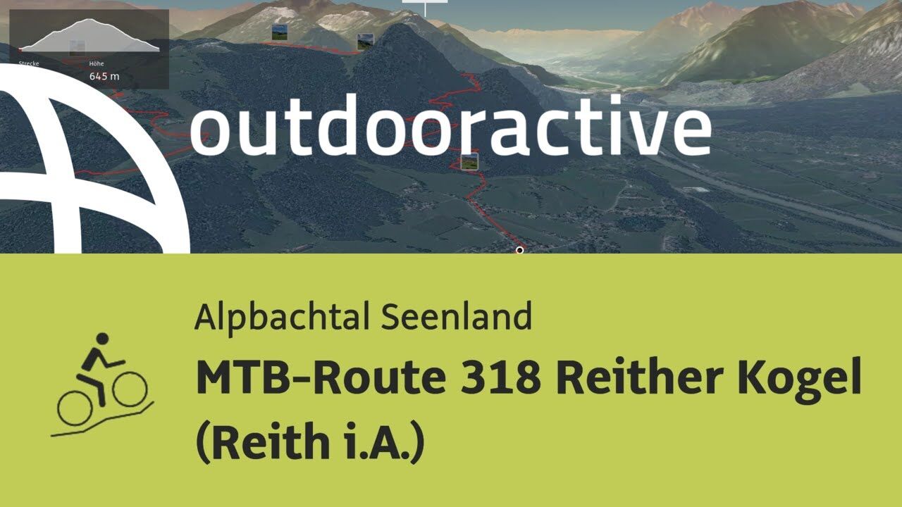
MTB-Route 318 Reither Kogel (Reith i. Alpbachtal)

Mountainbike

© Alpbachtal Tourismus - AS Tourismus/Matthias Sedlak

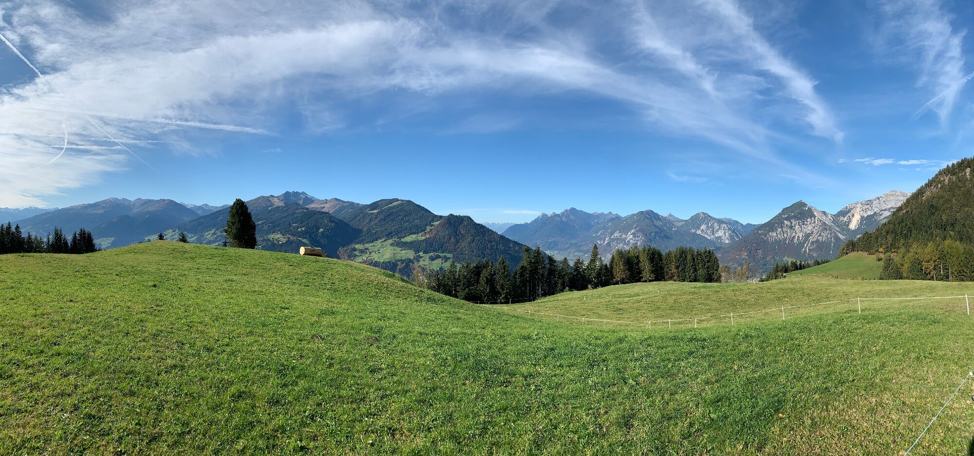
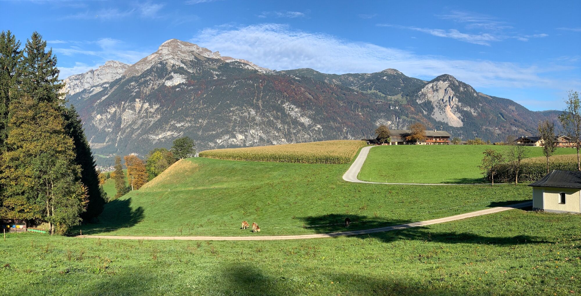
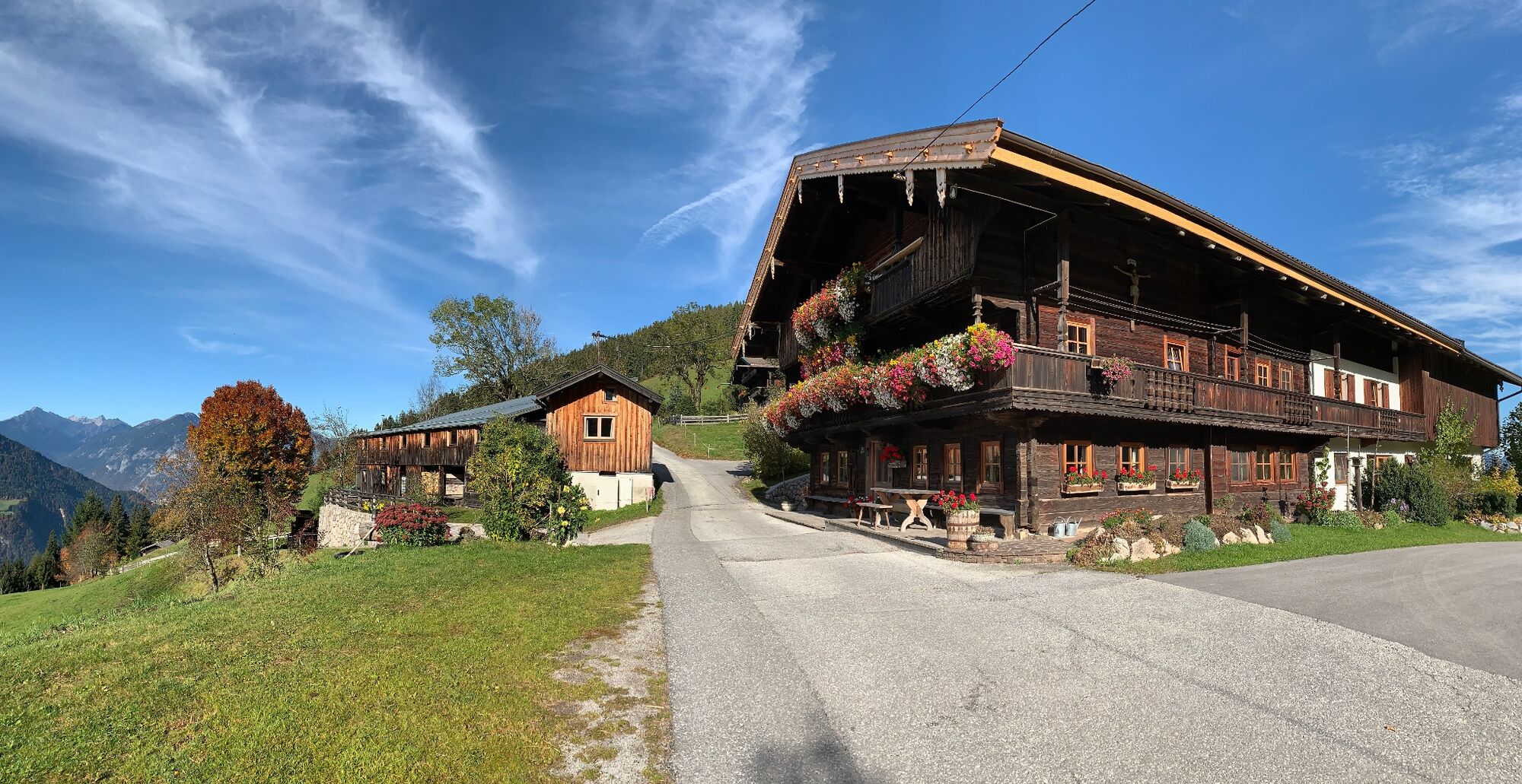
© Alpbachtal Tourismus - Manuel Hufnagel

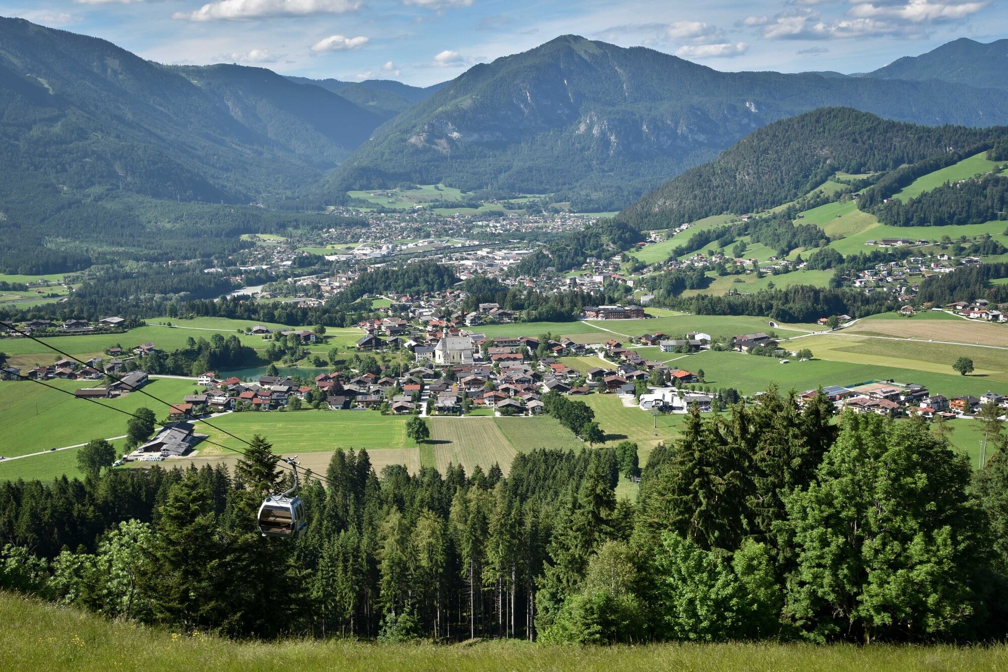
© Alpbachtal Tourismus - Gabriele Grießenböck
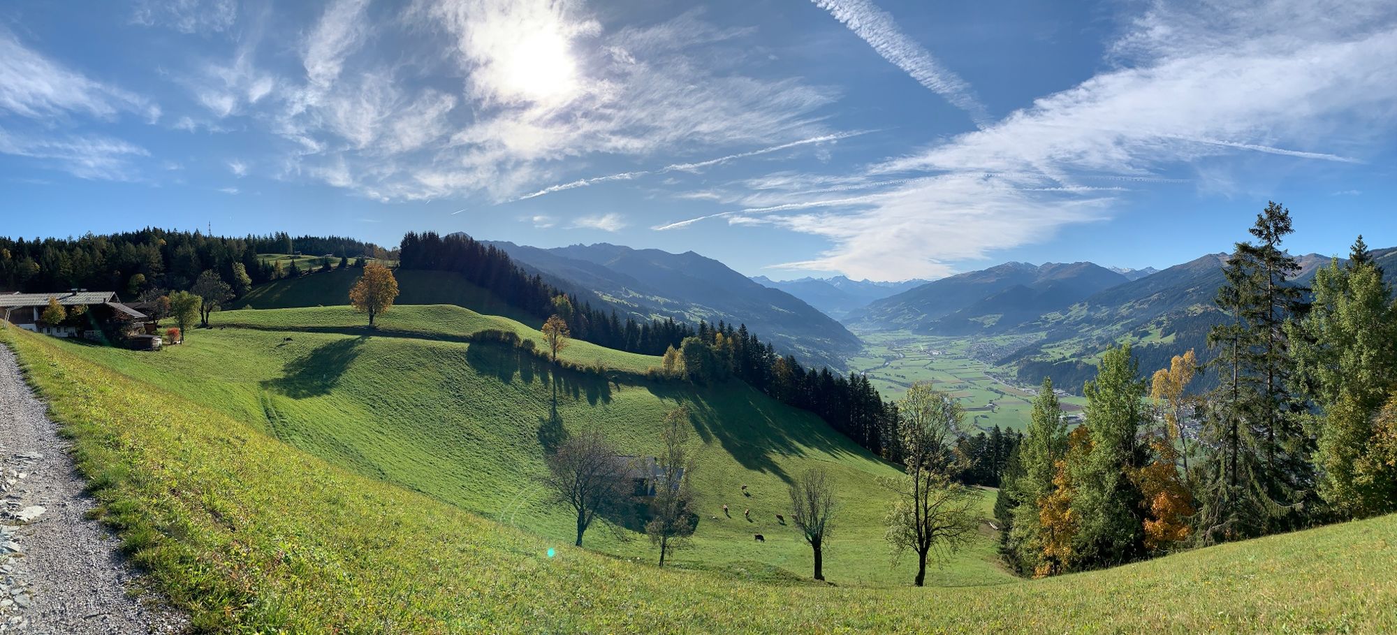
© Alpbachtal Tourismus - Manuel Hufnagel

© Outdooractive – 3D Videos

© Alpbachtal Tourismus - Manuel Hufnagel

© Alpbachtal Tourismus - Manuel Hufnagel

- Descrizione rapida
-
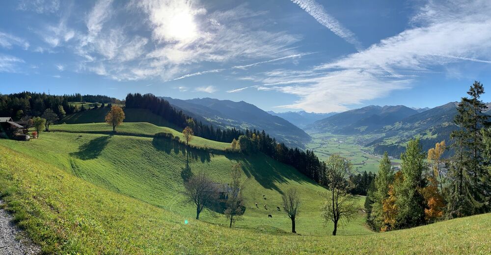
Enjoyable looped route around the Reither Kogel
- Difficoltà
-
intermedio
- Valutazione
-
- Percorso
-
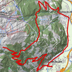
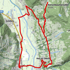
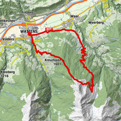
Reith im Alpbachtal (638 m)0,1 kmHub Kapelle1,2 kmAussichtspunkt Hinterkogel6,0 kmRosenkranz Kapelle9,3 kmGschwendt Almstüberl10,3 kmKapelle Maria vom Guten Rat12,1 kmHygna (817 m)12,1 kmReither Anger (659 m)13,9 kmReith im Alpbachtal (638 m)14,0 km
- La stagione migliore
-
genfebmaraprmaggiulugagosetottnovdic
- Punto più alto
- 1.199 m
- Destinazione
-
Reitherkogelbahn, Reith car park
- Profilo altimetrico
-


-

-
AutoreIl tour MTB-Route 318 Reither Kogel (Reith i. Alpbachtal) è utilizzato da outdooractive.com fornito.
GPS Downloads


Info generali
Punto di ristoro
Promettente
Altri tour nelle regioni
-
Alpbachtal
301
-
Reith im Alpbachtal
124