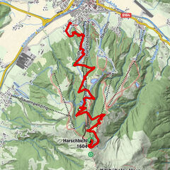
Dati percorsi
15,62km
706
- 1.174m
463hm
02:00h
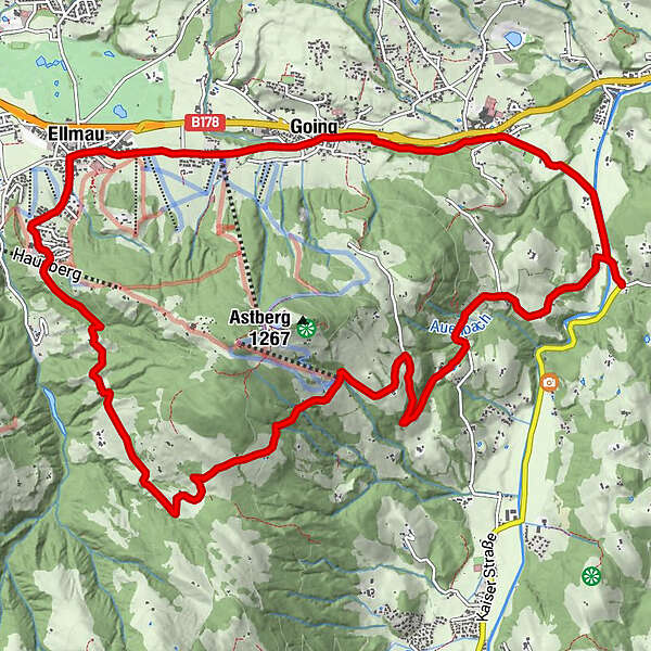
- Valutazione
-
- Punto di partenza
-
Kreuzung Reinache Oberndorf
- Percorso
-
ReinacheKirchbichl (894 m)9,5 kmPfarrkirche10,3 kmEllmau10,5 kmAlexandra11,9 kmGoing12,3 kmDorfwirt12,6 kmReinache15,5 km
- La stagione migliore
-
genfebmaraprmaggiulugagosetottnovdic
- Punto più alto
- 1.174 m
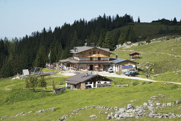
- Riposo/Ritiro
-
Cafés und Gaststätten in Ellmau und Going
- Cartine
-
In allen Infobüros der Kitzbüheler Alpen St. Johann in Tirol - Oberndorf - Kirchdorf
- Telefono informazioni
-
0043 5352 63335 0
- Link
- https://www.kitzbueheler-alpen.com/de/st-johann
GPS Downloads


Percorsi
Asfalto
Ghiaia
Foresta
Vie di montagna
Singletrail
Trial
Traffico
Altri tour nelle regioni
-
Wilder Kaiser
362
-
Going
143