© Zillertal Tourismus - Marie-Sophie Münch
© Zillertal Tourismus - Marie-Sophie Münch
© Zillertal Tourismus - Marie-Sophie Münch
© Zillertal Tourismus - Marie-Sophie Münch
© Zillertal Tourismus - Marie-Sophie Münch
© Zillertal Tourismus - Marie-Sophie Münch


- Descrizione rapida
-
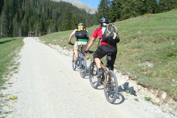
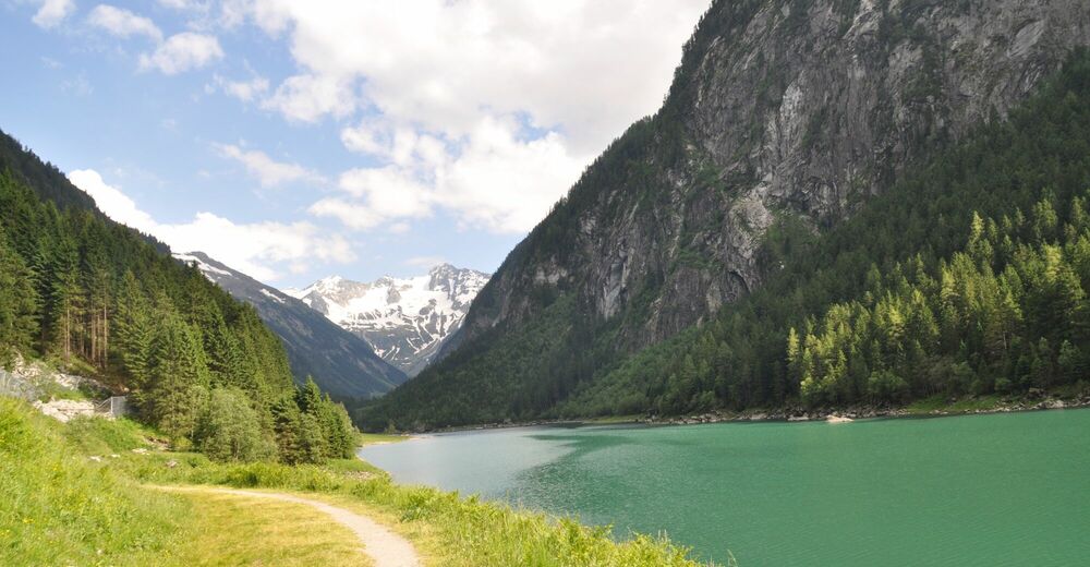
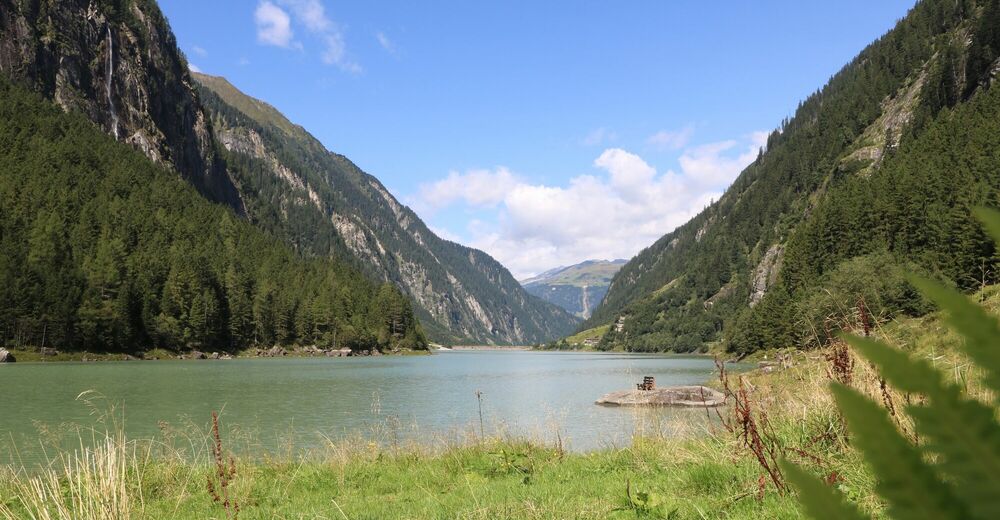
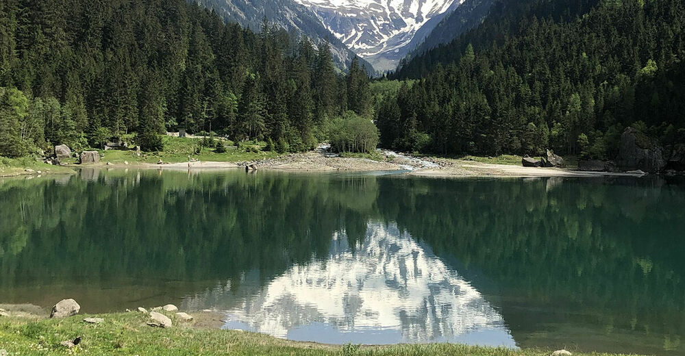
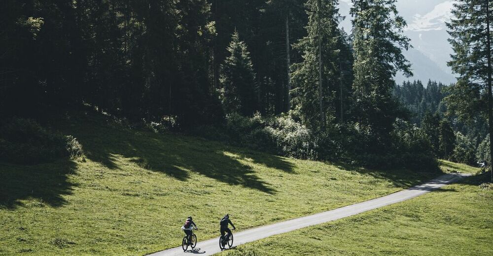
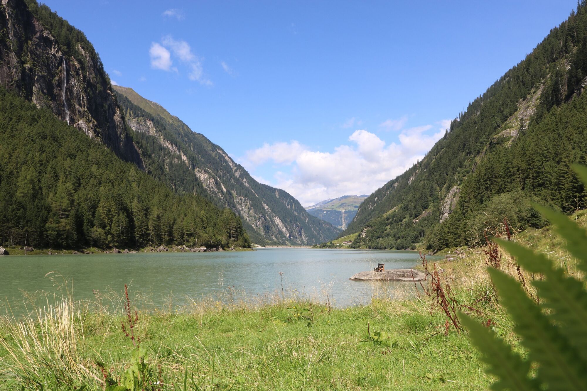
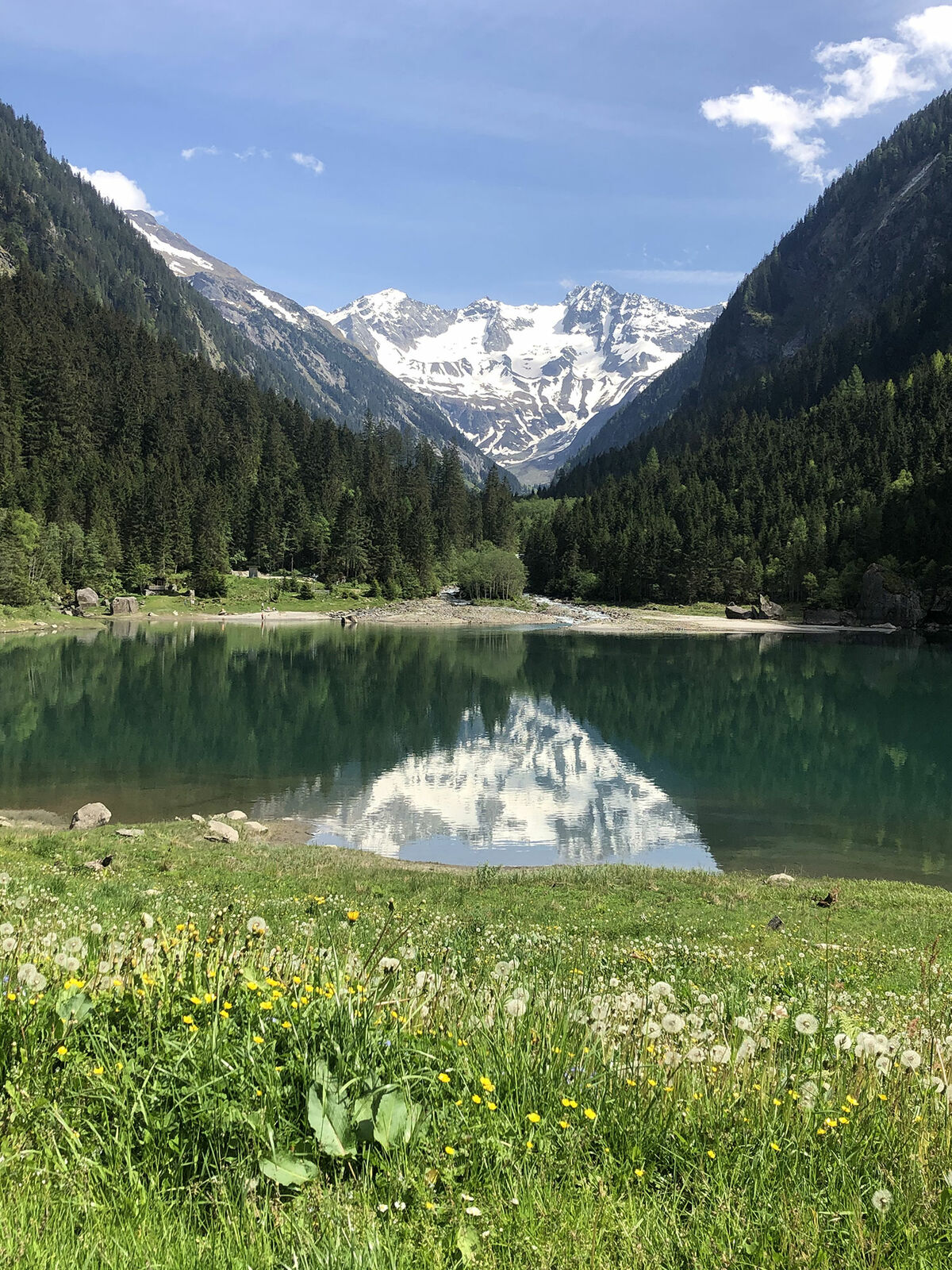
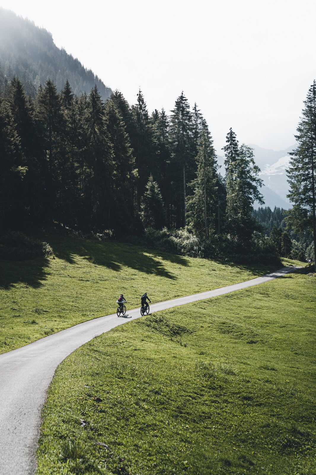
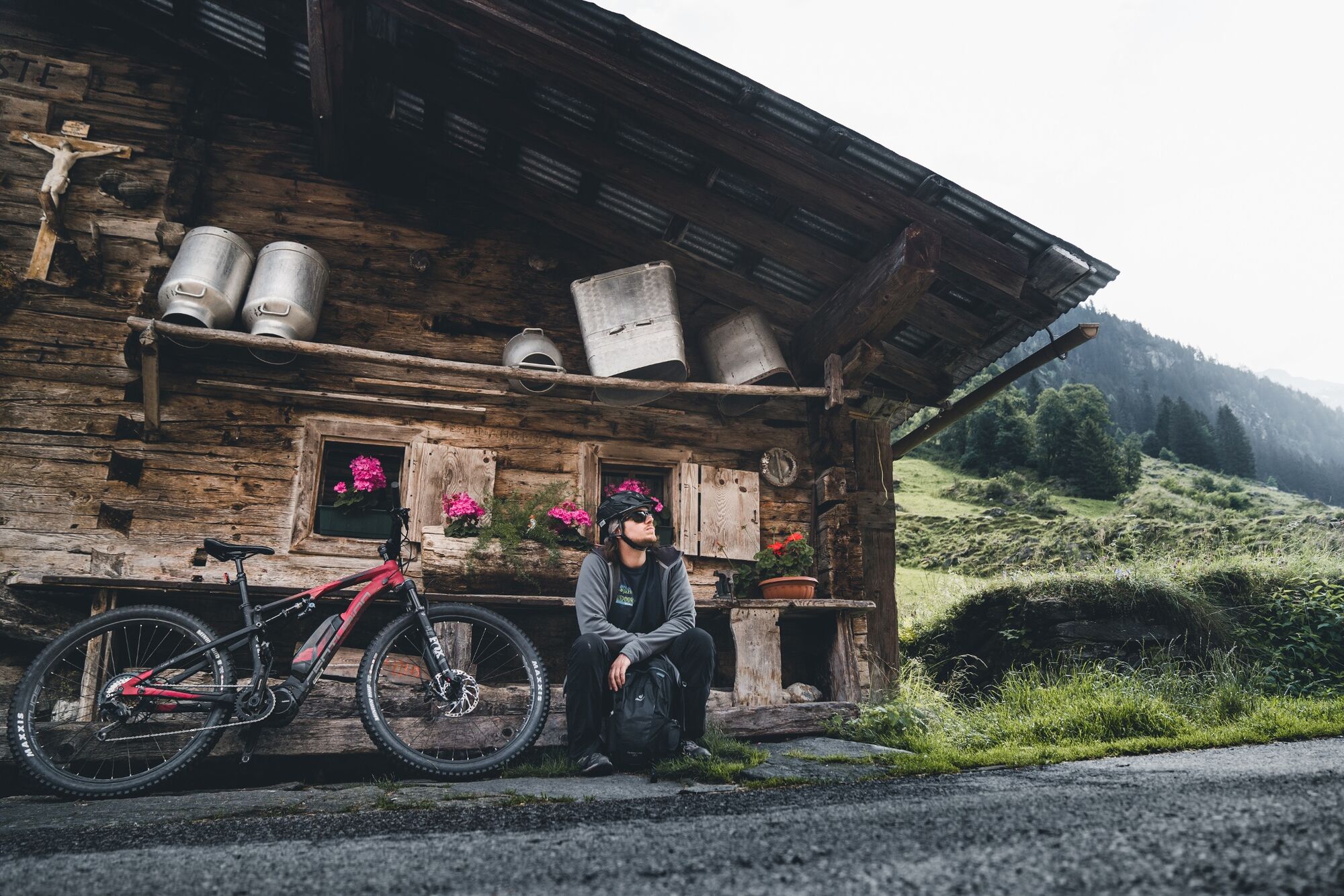
Wonderful route with flat sections, many fountains, streams and waterfalls along the way!
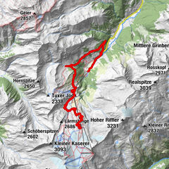
- Percorso
-
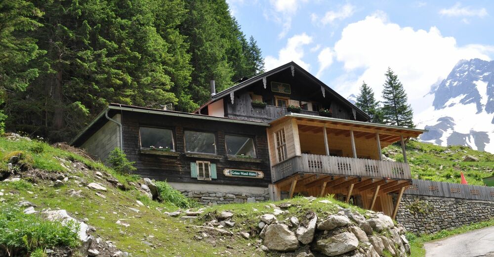
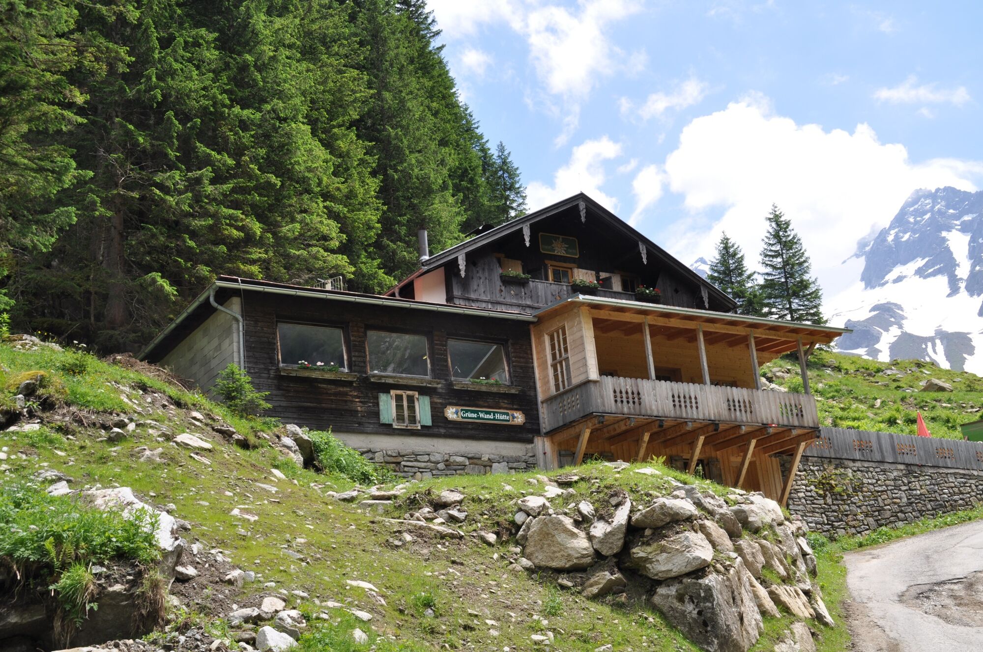
Unsere Liebe Frau0,1 kmMayrhofen (633 m)0,2 kmKumbichl1,4 kmGasthof Wasserfall9,1 kmAlpengasthof Stillupperhaus12,5 kmGrüne-Wand-Hütte16,2 kmGrüne-Wand-Hütte20,1 kmAlpengasthof Stillupperhaus23,6 kmGasthof Wasserfall27,3 kmKumbichl35,0 kmMayrhofen (633 m)36,2 kmUnsere Liebe Frau36,3 km
- La stagione migliore
-
genfebmaraprmaggiulugagosetottnovdic
- Punto più alto
- 1.636 m
- Destinazione
-
Material cable car Kasseler Hütte
- Profilo altimetrico
-


-

-
AutoreIl tour Stilluptal è utilizzato da outdooractive.com fornito.
GPS Downloads


Info generali
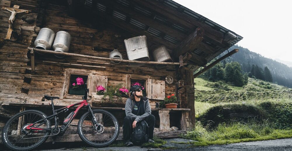
Punto di ristoro
Altri tour nelle regioni