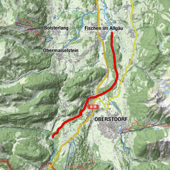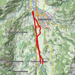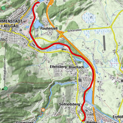


Dati percorsi
23,31km
906
- 1.063m
9hm
99hm
02:30h
- Descrizione rapida
-
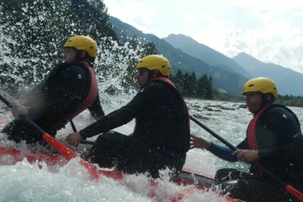
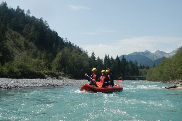
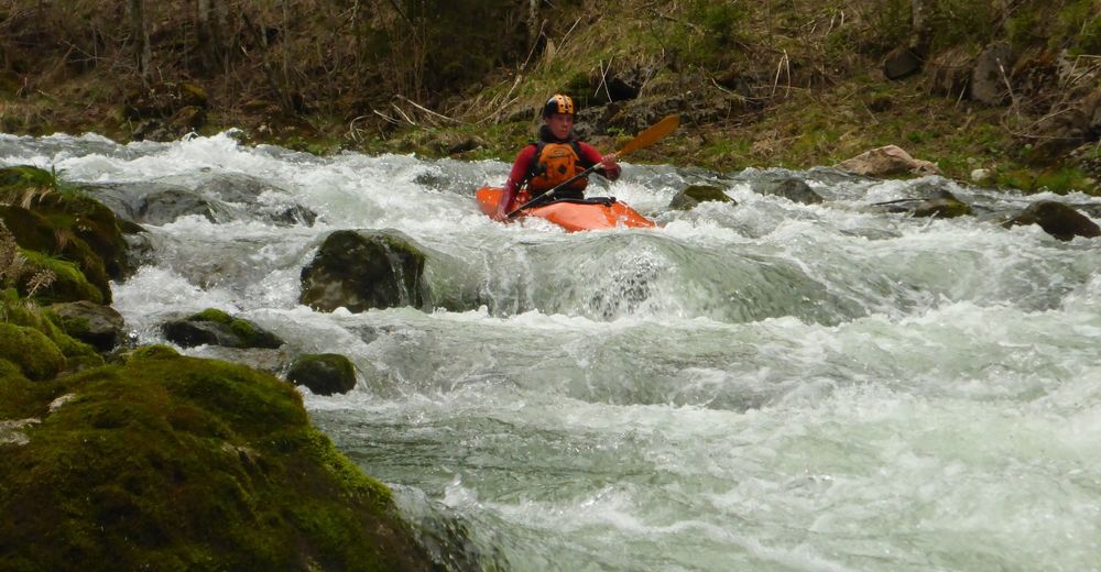
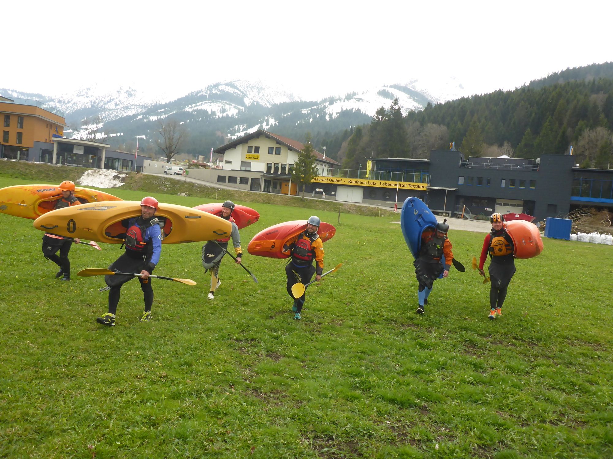
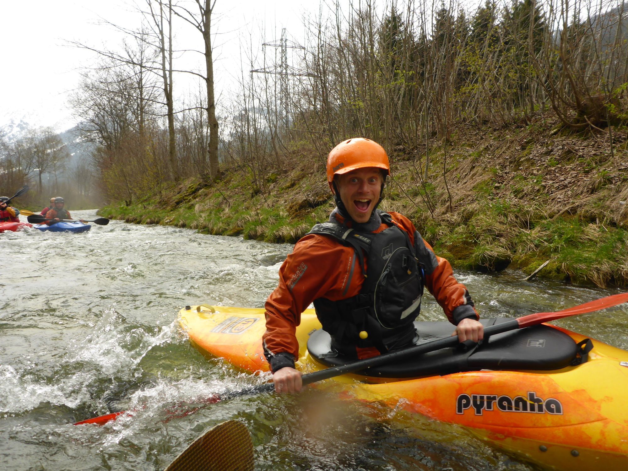
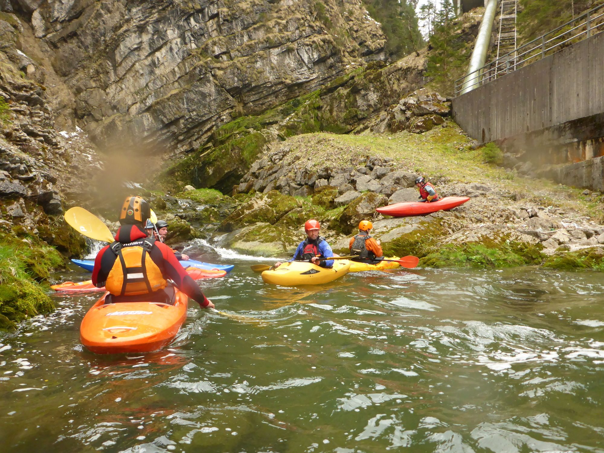
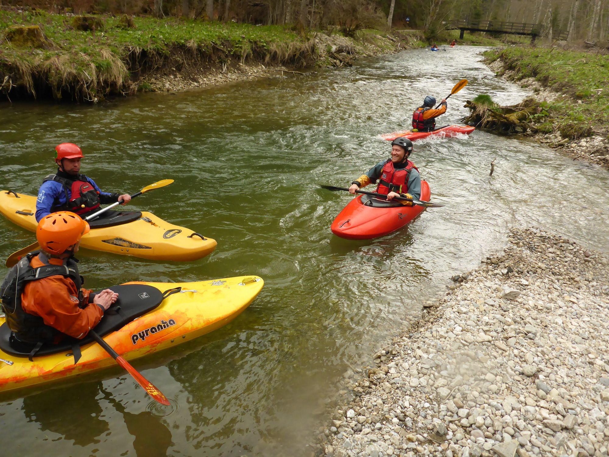
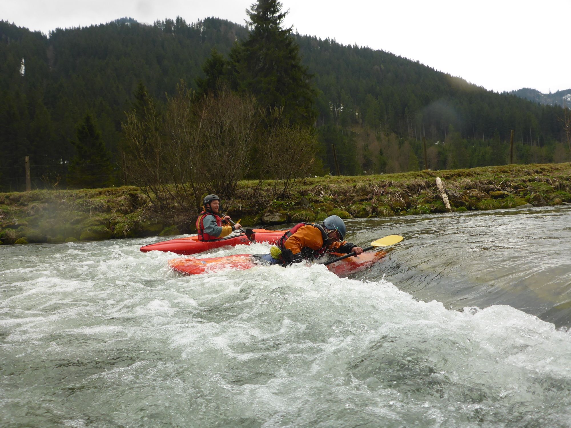
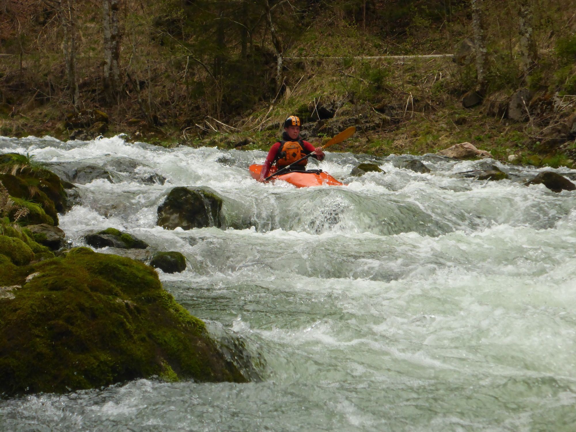
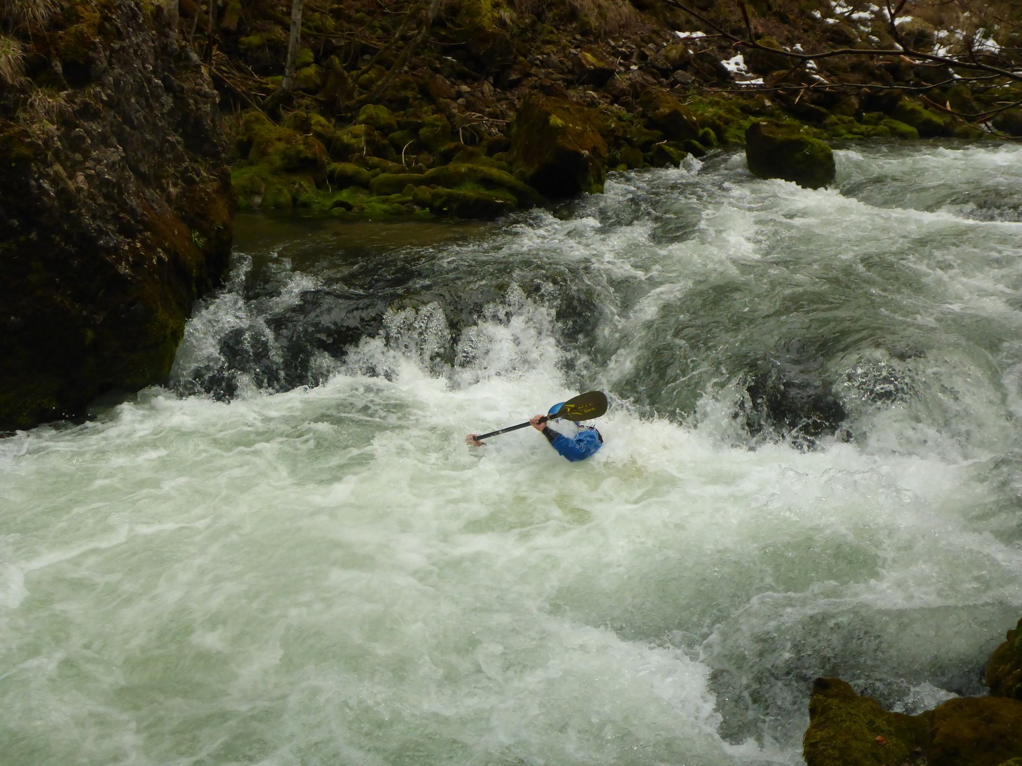
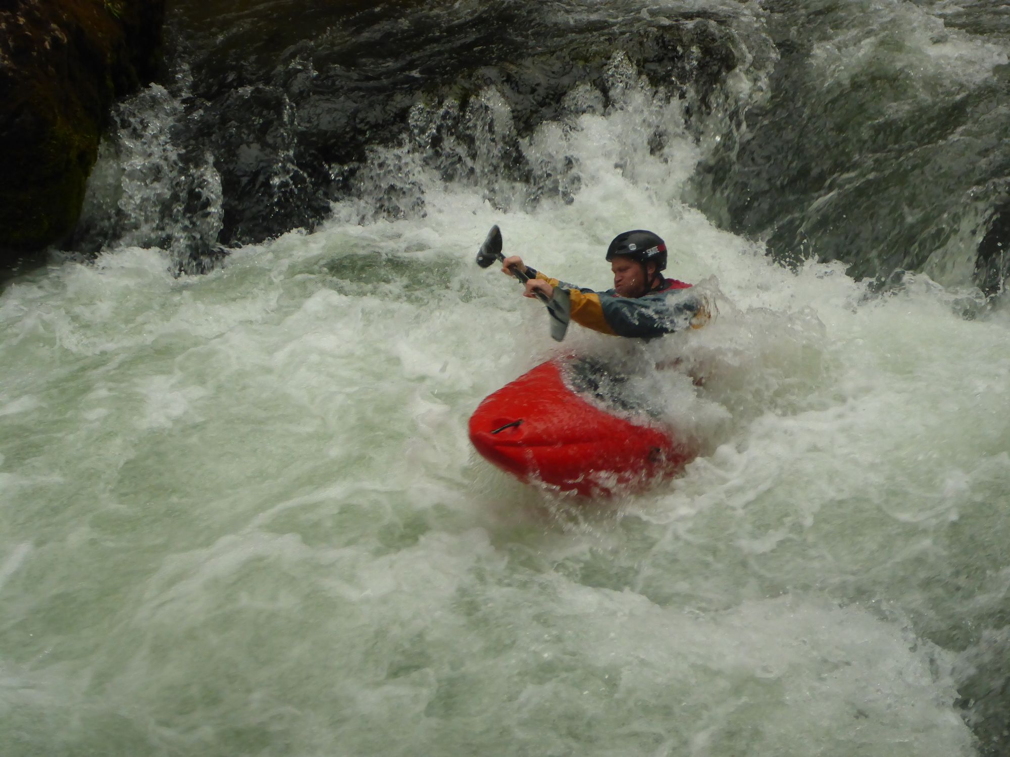
Kajak Tour auf der wunderschönen Vils
Bock auf Wildwasser? Dann buche dein Outdoor Abenteuer auf www.map-erlebnis.de
- Difficoltà
-
intermedio
- Valutazione
-
- Punto di partenza
-
Parken am Kaufhaus Lutz
- Percorso
-
Steig14,2 km
- La stagione migliore
-
genfebmaraprmaggiulugagosetottnovdic
- Punto più alto
- 1.063 m
- Destinazione
-
Vilstal
- Riposo/Ritiro
-
Restaurant "Zum Schiff" an der Outdoor Station von MAP-Erlebnis in Bihlerdorf
- Informazioni
- Cartine
- Fonte
- MAP-Erlebnis
GPS Downloads


Altri tour nelle regioni
-
Allgäu
6
-
Tannheimer Tal
8