


- Descrizione rapida
-
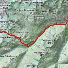
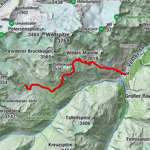
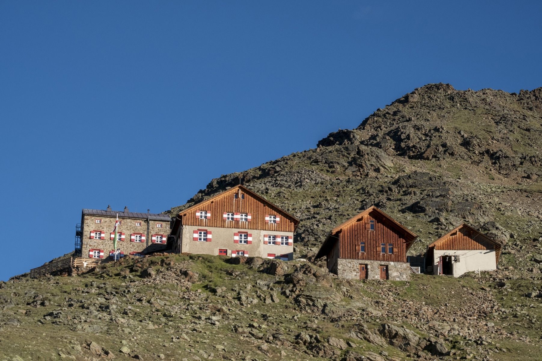
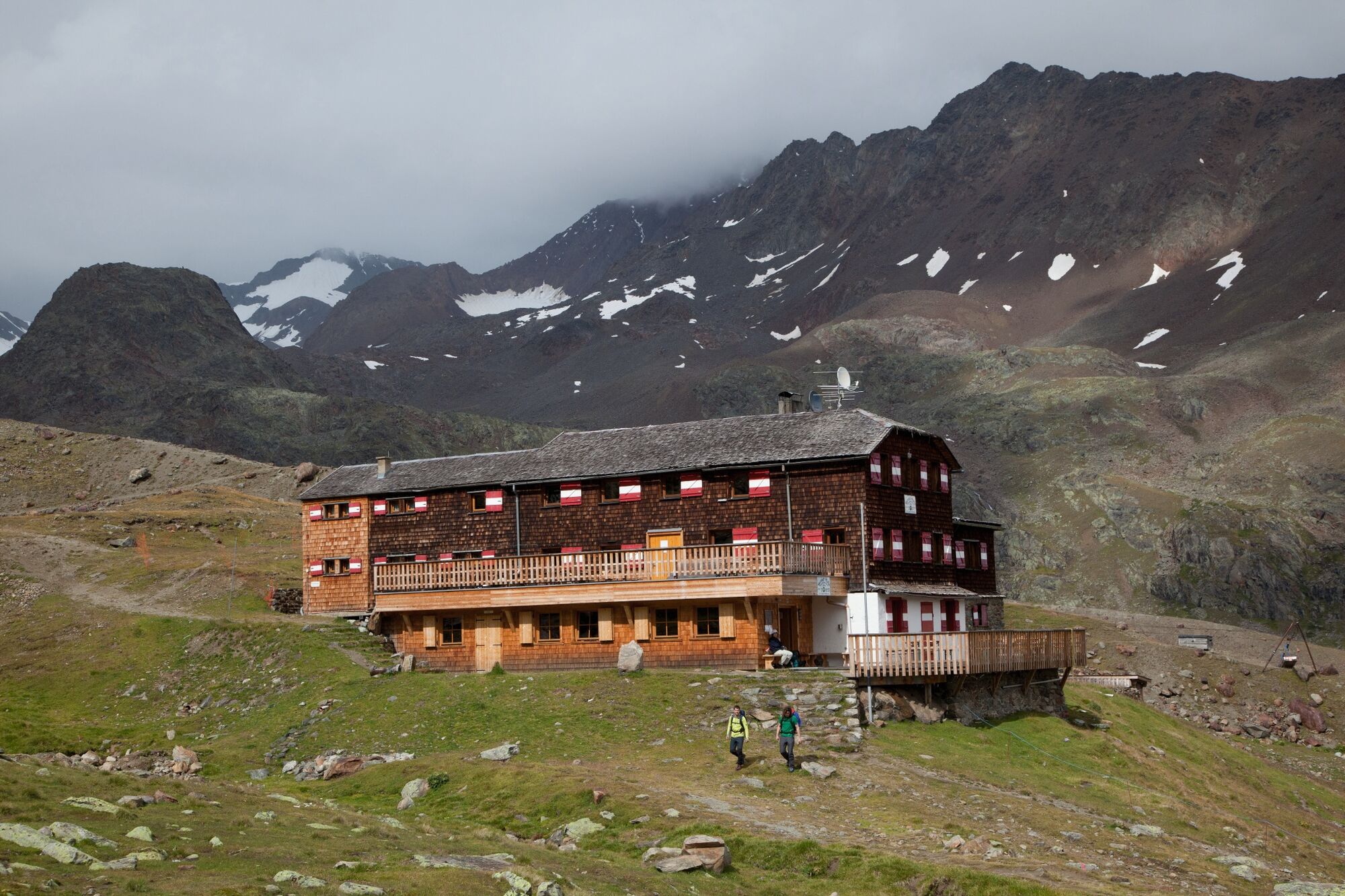
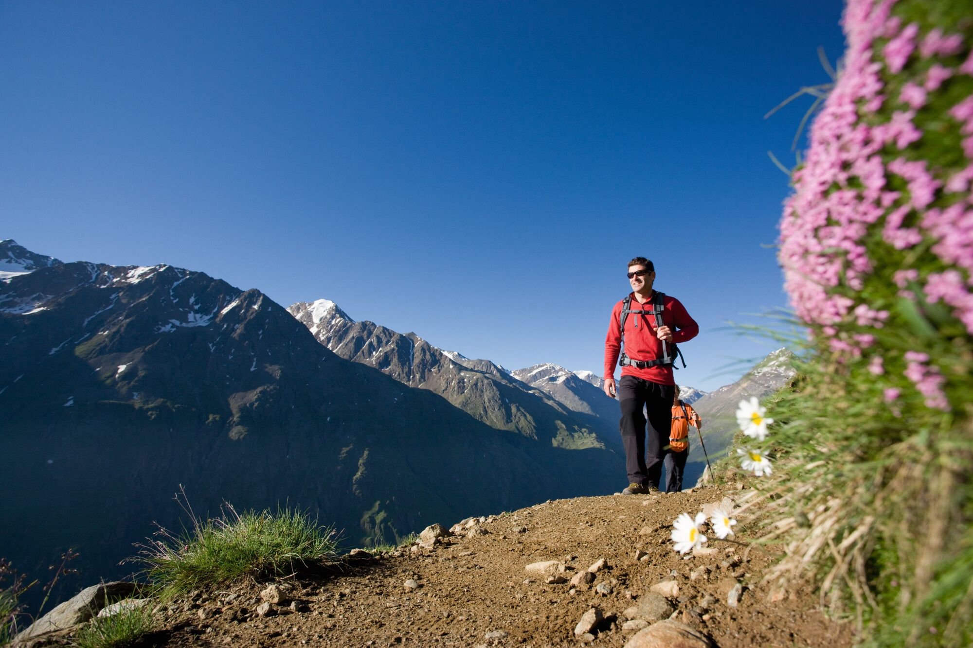
Vent -> Breslauer Hütte -> Vernagthütte
- Difficoltà
-
intermedio
- Valutazione
-
- Percorso
-
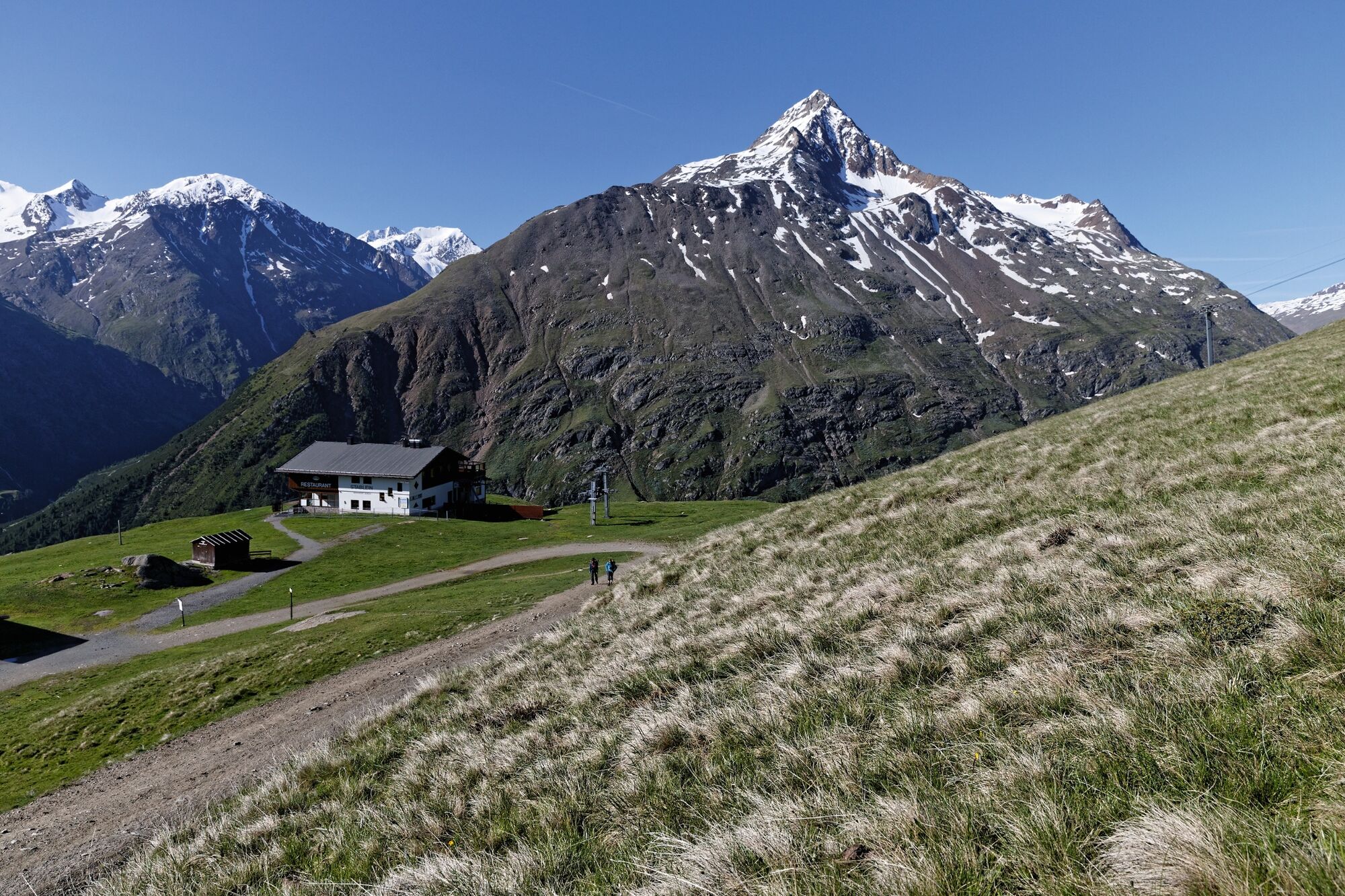
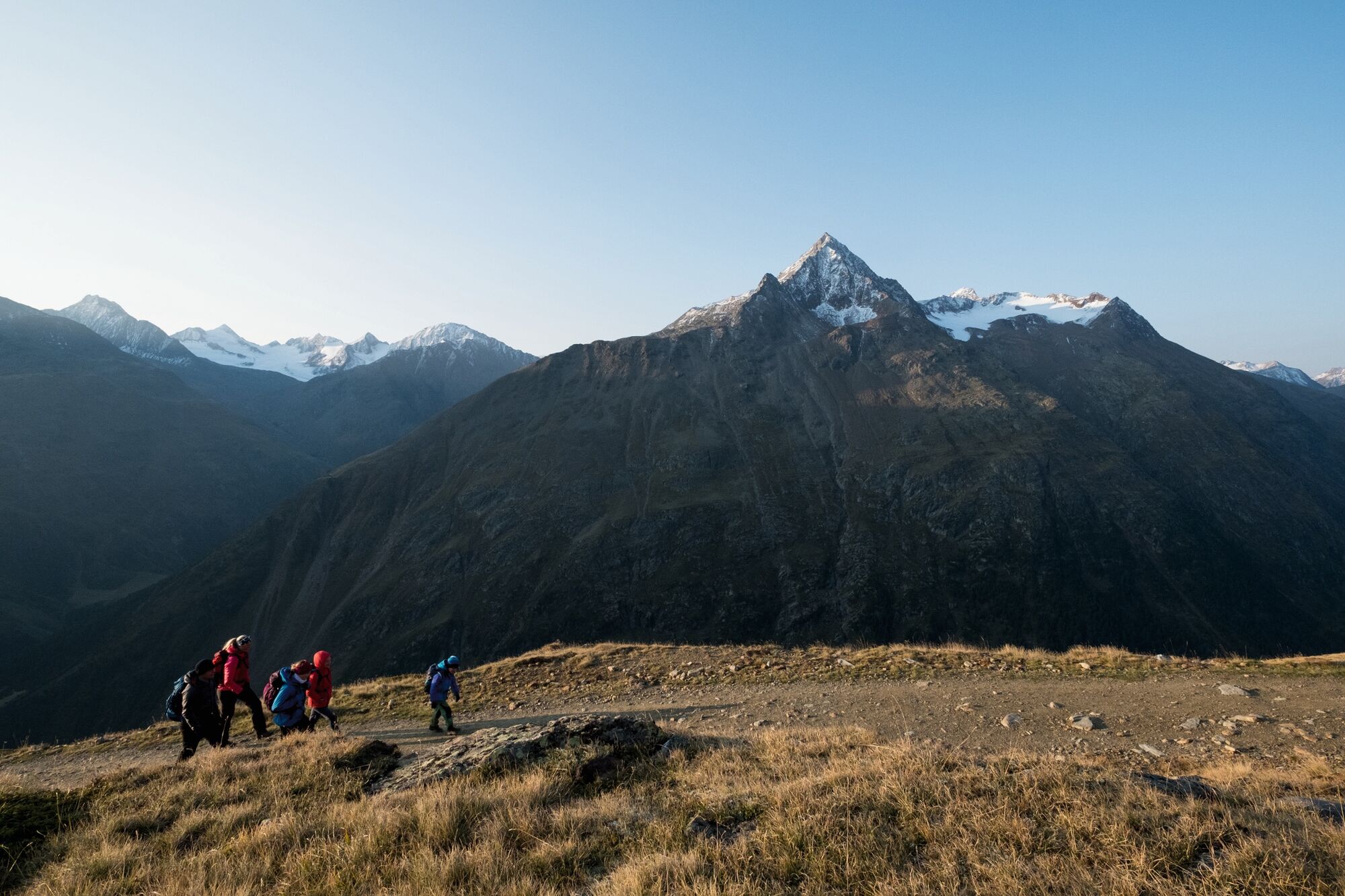
Vent0,0 kmWildspitze0,9 kmPanoramarestaurant Stablein1,0 kmBreslauer Hütte3,5 kmVernagthütte10,5 km
- La stagione migliore
-
genfebmaraprmaggiulugagosetottnovdic
- Punto più alto
- 2.861 m
- Destinazione
-
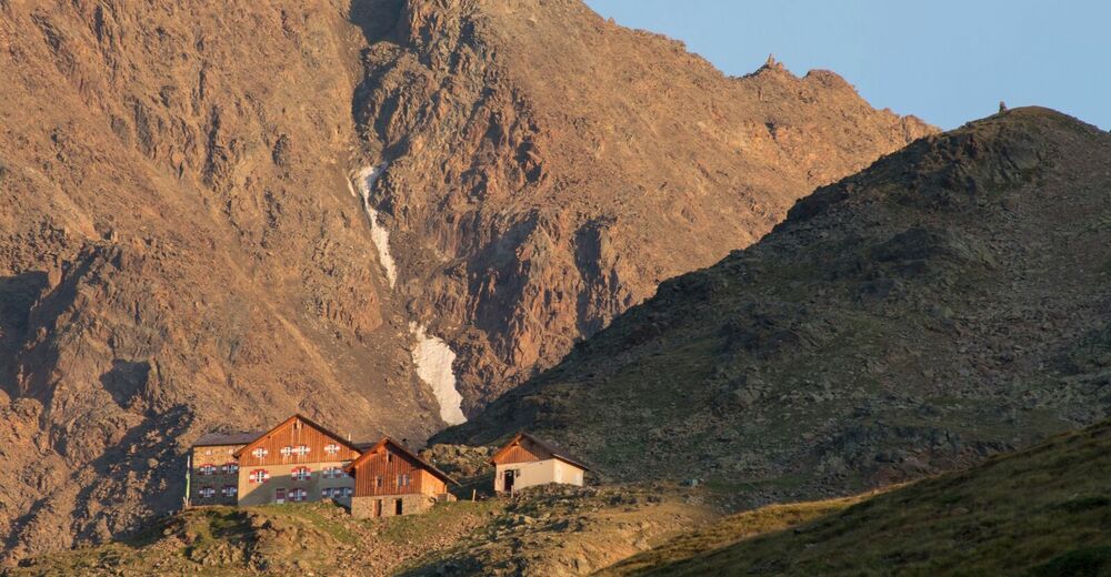
Vernagthütte
- Profilo altimetrico
-


- Autore
-
Il tour Vent - Breslauer Hütte - Vernagthütte è utilizzato da outdooractive.com fornito.
GPS Downloads


Altri tour nelle regioni
-
Vinschgau
130
-
Schnalstal
99
-
Vent
56