Dati percorsi
0,65km
2.371 - 2.393m
Distanz
20hm
3hm
L'ascesa
00:13h
 
Durata
Descrizione rapida

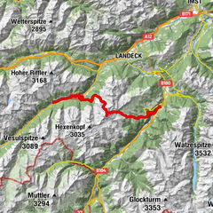
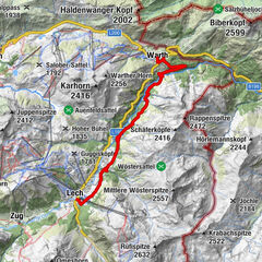
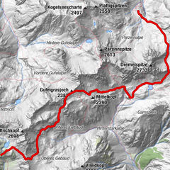
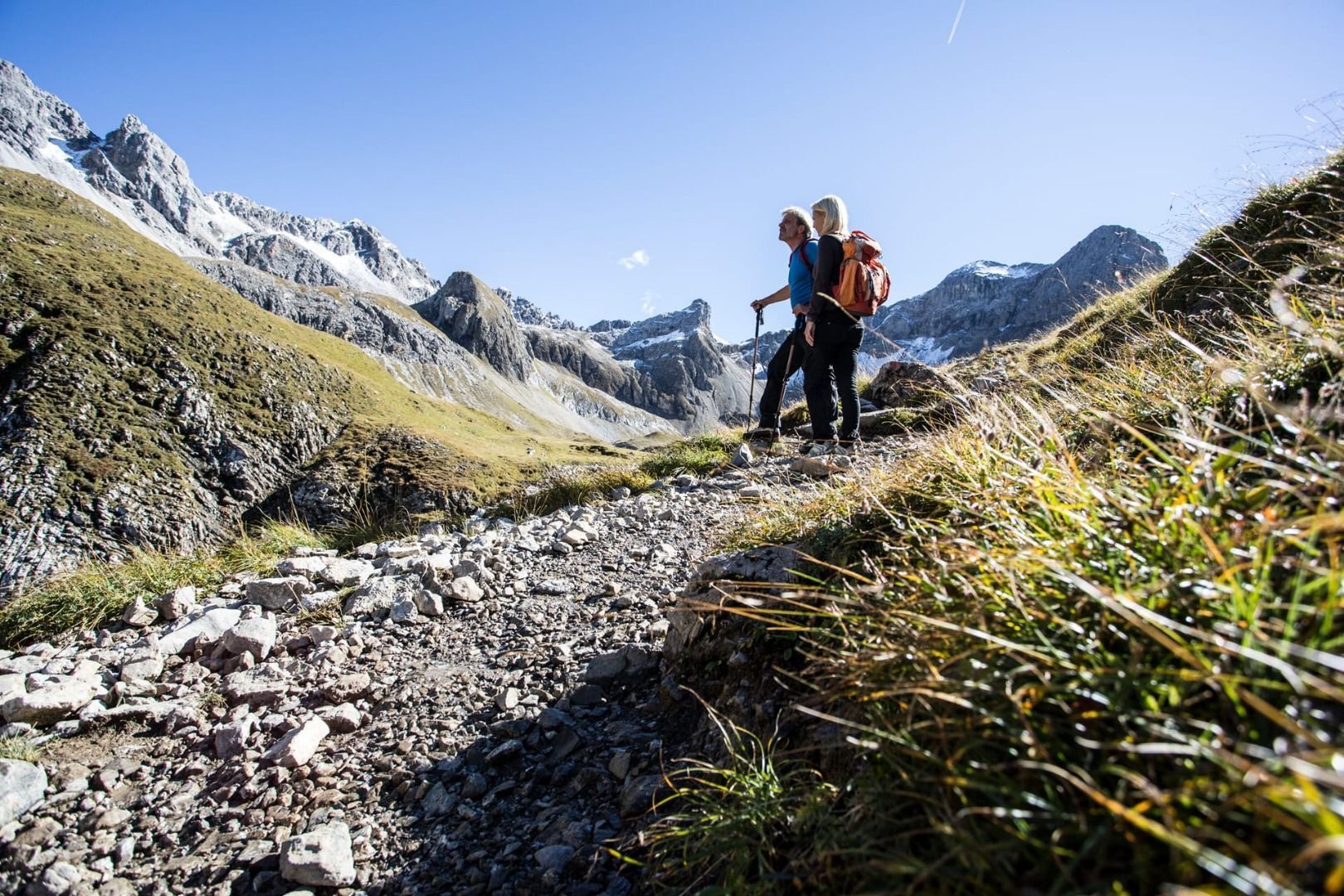
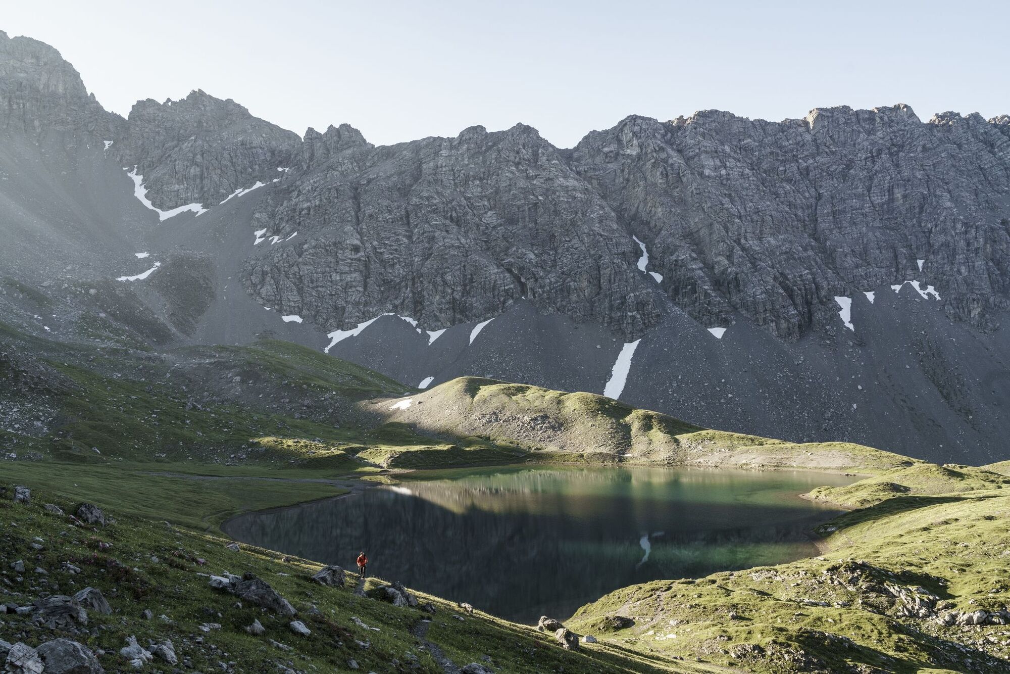
Dieser herrliche Höhenweg führt in eleganter Linienführung um und teils über zahlreiche Gipfel. Die Lechtaler Alpen stellen den längsten geschlossenen Gebirgskamm in den Nördlichen Kalkalpen dar.
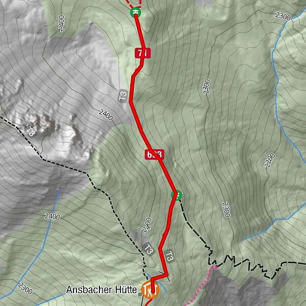
Percorso
Ansbacher Hütte (2.376 m)
0,0 km
Materialseilbahn Ansbacher Hütte
0,0 km

Punto più alto
2.393 m
Destinazione

Anhalter Hütte bzw. Elmen im Lechtal

Profilo altimetrico

Autore
Il tour Lechtaler Höhenweg è utilizzato da outdooractive.com fornito.

Valutazione complessiva

5

0

%

4

0

%

3

0

%

2

0

%

1

0

%

Errore
Si è verificato un errore. Si prega di riprovare.
Grazie per la vostra recensione

La valutazione è stata cancellata

GPS Downloads
  • GPX GPS Exchange Format (XML)
  • KML Google Earth, Google Maps
Codici di download QR per telefoni cellulari
Altri tour nelle regioni

Tour popolari della zona

Lechweg through Warth

intermedio
6,83km | 193hm | 02:16h

Etappe 7 - Warth bis Lech

intermedio
10,6km | 257hm | 03:25h