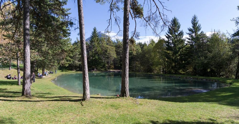
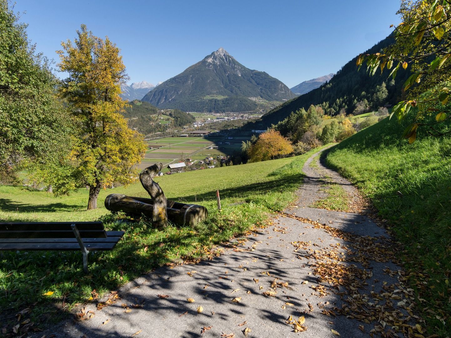
© Imst Tourismus
© Imst Tourismus
Dati percorsi
10,49km
719
- 1.043m
230hm
361hm
03:45h
- Difficoltà
-
facile
- Valutazione
-
- Punto di partenza
-
Hochimst
- Percorso
-
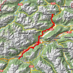
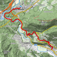
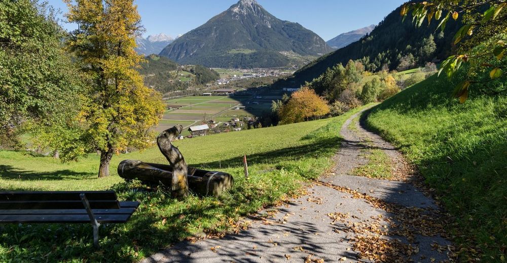
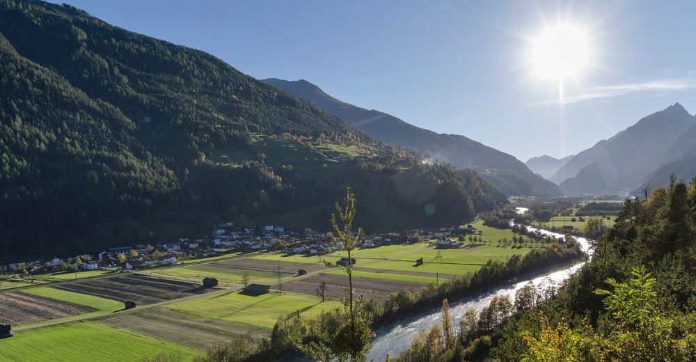
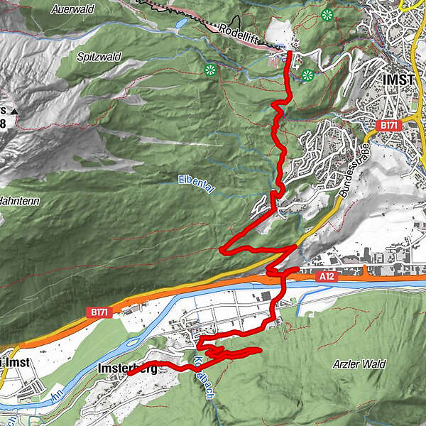
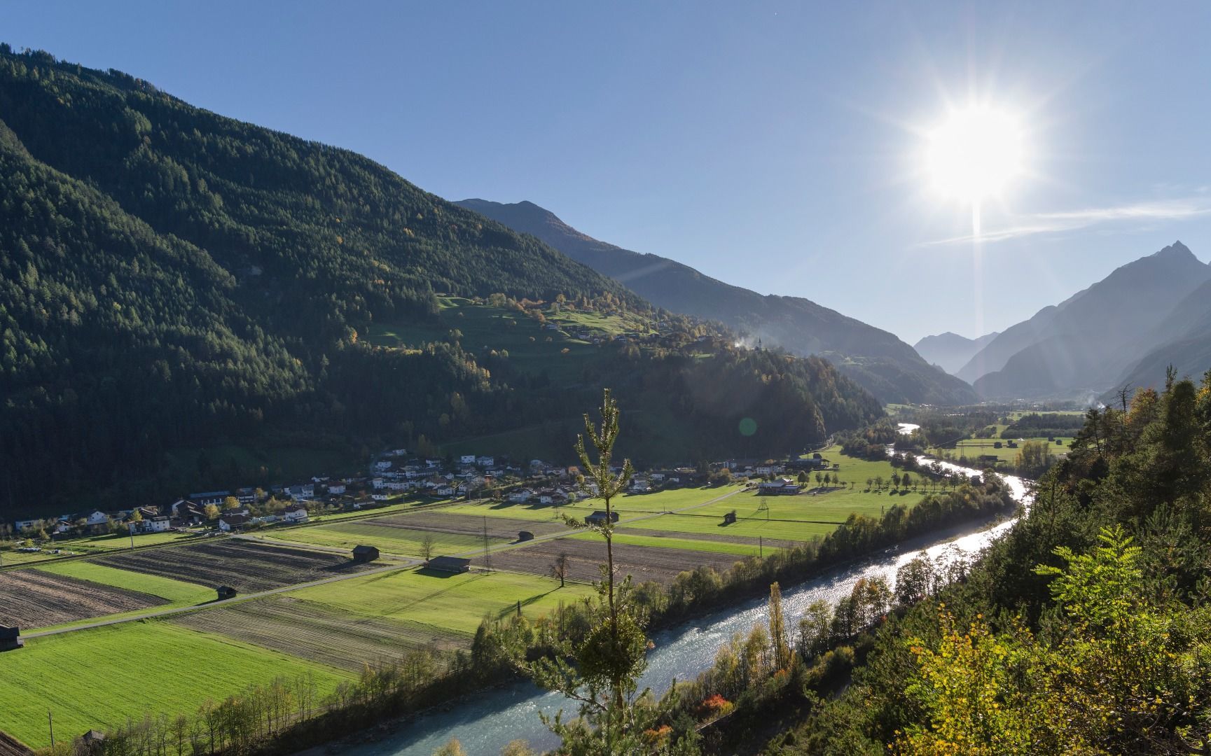
SonneckHochimst0,0 kmImst (827 m)0,5 kmGasthof St. Hubertus2,5 kmWallfahrtskirche Maria Schnee2,6 kmGschnallenhöfe4,9 kmAu7,2 kmAussichtsplattform Kogelweg8,2 kmFriedhofskapelle10,3 kmImsterberg (879 m)10,4 km
- La stagione migliore
-
genfebmaraprmaggiulugagosetottnovdic
- Punto più alto
- 1.043 m
- Destinazione
-
Imsterberg
- Infomateriale
-
- Videos
-
 02:025 years ago
- Telefono informazioni
-
+43 (0)5412 6910
- Link
- https://www.imst.at/de/aktivitaeten/sommer/wand...
- Fonte
- Imst Tourismus
GPS Downloads


Altri tour nelle regioni
-
Outdoorregion Imst
1231
-
Imsterberg
243