- Descrizione rapida
-
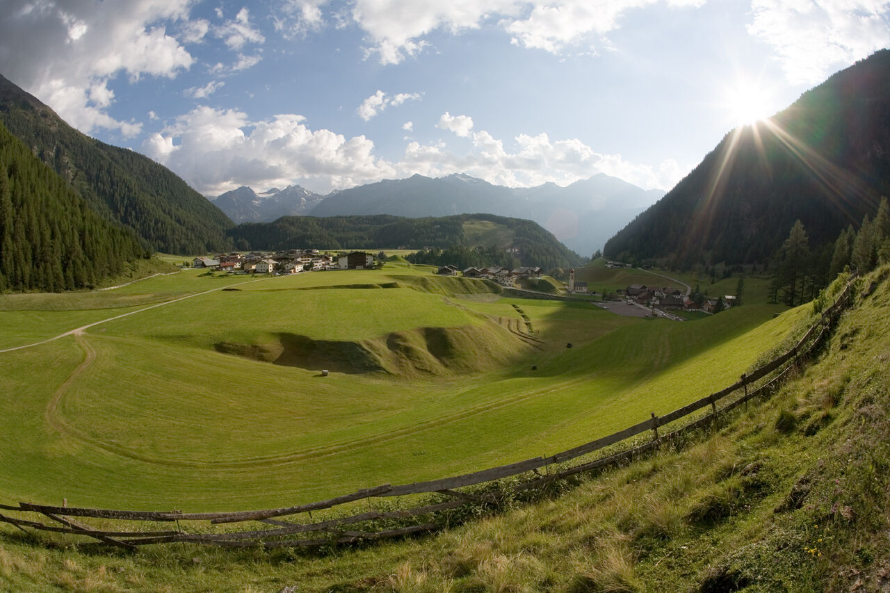
STAGE 2:
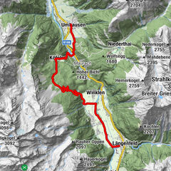
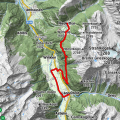
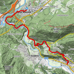
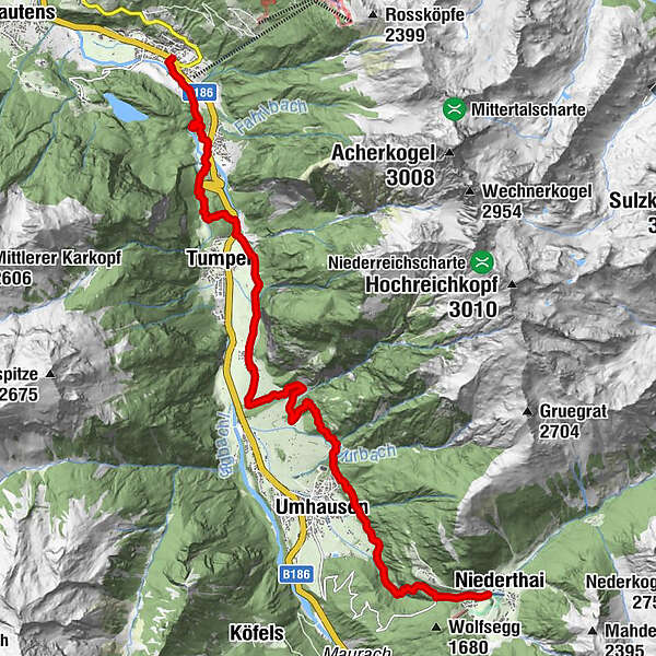
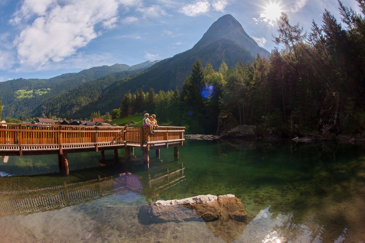
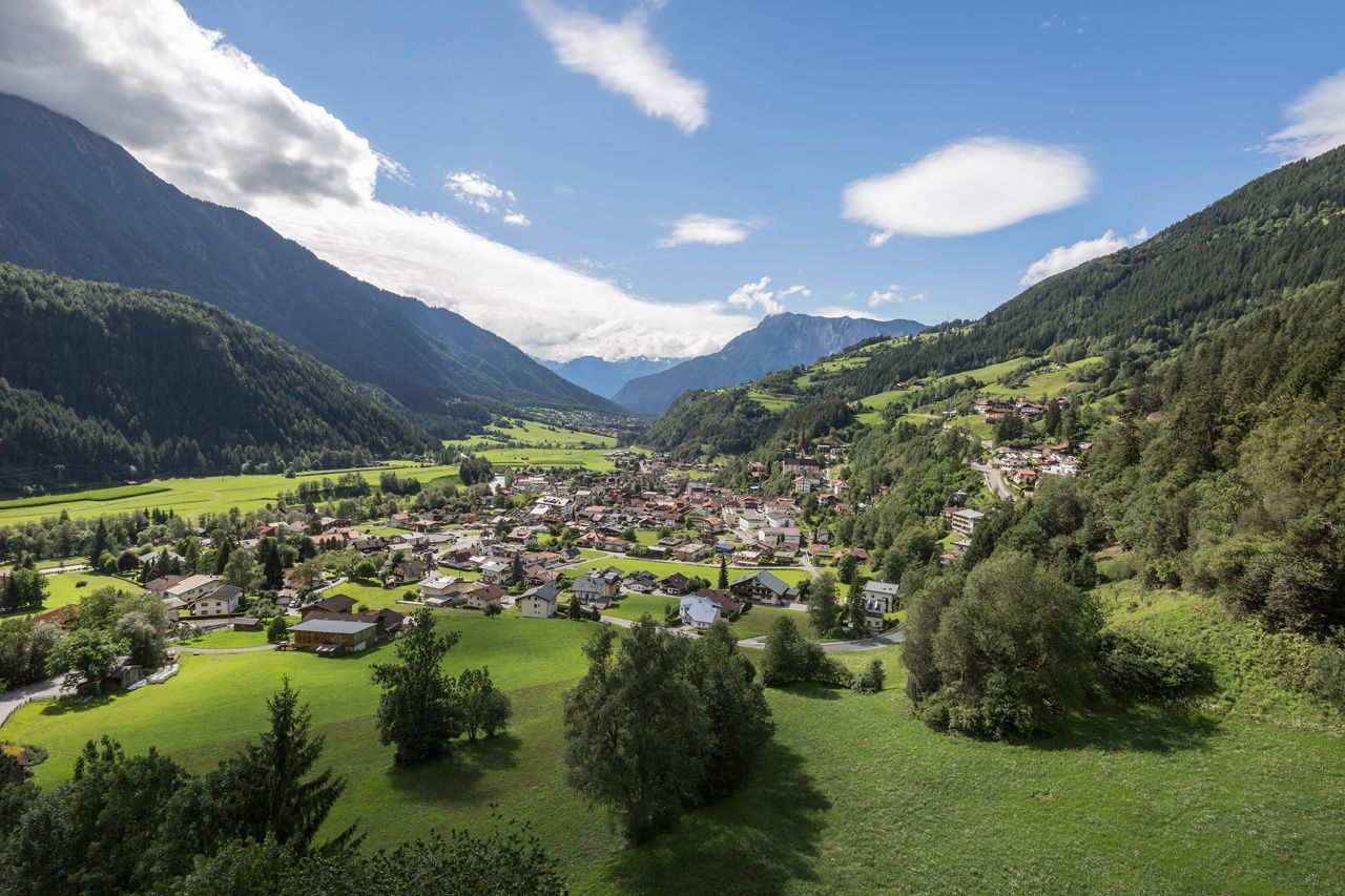
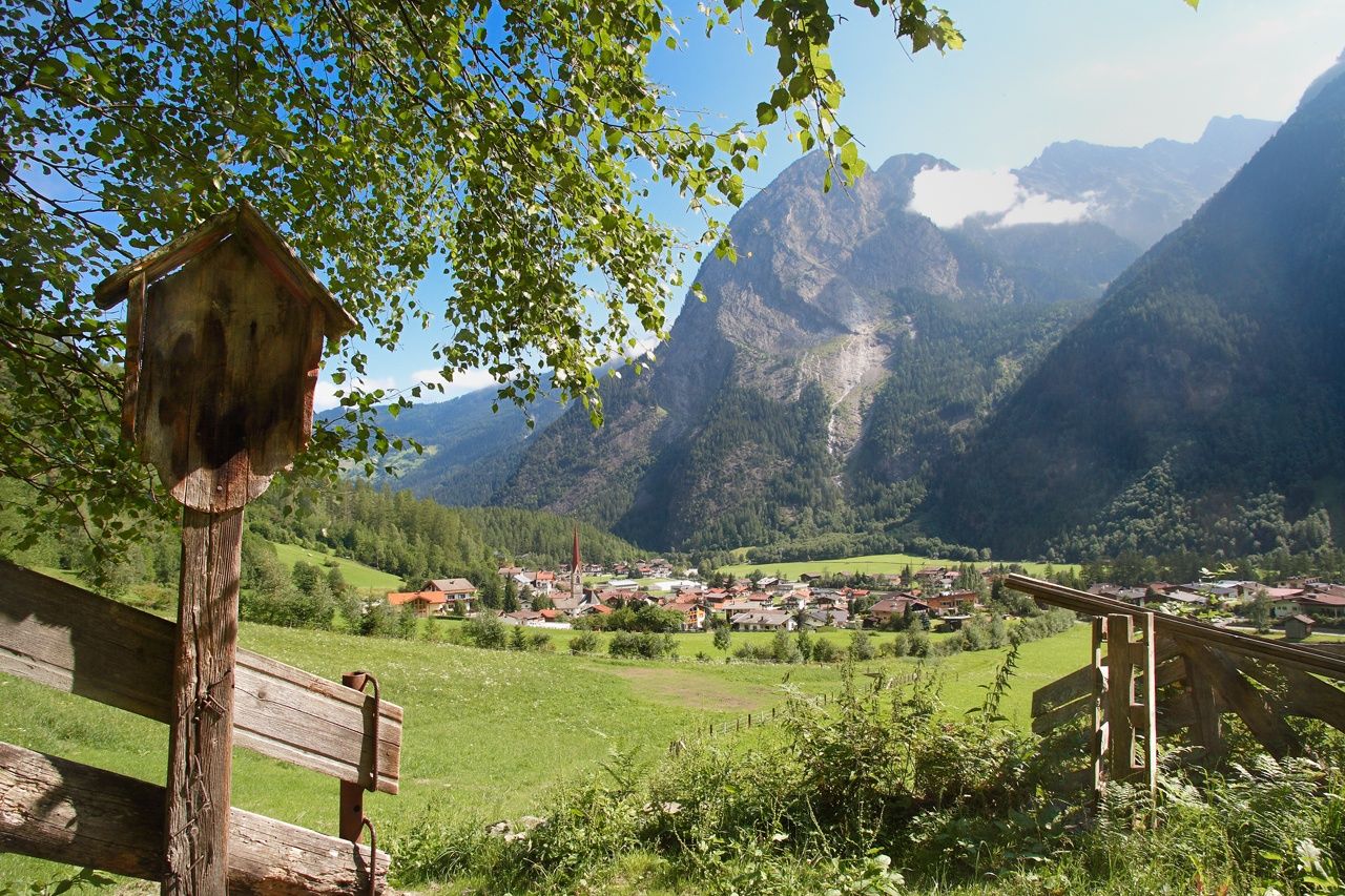
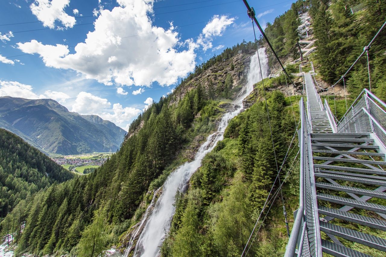
OETZ –> Weller Bridge –> Habicher See –> Elisabeths Höhe –> Tumpen –> Engelswand –> Lehn Platzl –> Maria Schnee –> Farstrinne –> Wienersteig –> Steppsteig –> Stuiben Falls –> NIEDERTHAI
- Difficoltà
-
intermedio
- Valutazione
-
- Percorso
-
Oetz (812 m)0,1 kmTumpen4,8 kmÖsten6,6 kmWaldcafe Stuböbele13,0 kmStuibenfall Platform 514,0 kmStuibenfall14,0 kmHöfle14,3 kmMühlkapelle14,4 kmGasthof Stuibenfall14,5 kmTölderboden15,0 kmNiederthai15,3 km
- La stagione migliore
-
genfebmaraprmaggiulugagosetottnovdic
- Punto più alto
- 1.525 m
- Destinazione
-
Niederthai
- Profilo altimetrico
-


- Autore
-
Il tour Ötztaler Urweg E2 Oetz - Niederthai è utilizzato da outdooractive.com fornito.
GPS Downloads


Altri tour nelle regioni
-
Pitztal
1068
-
Umhausen im Ötztal
401