- Descrizione rapida
-
STAGE 3:
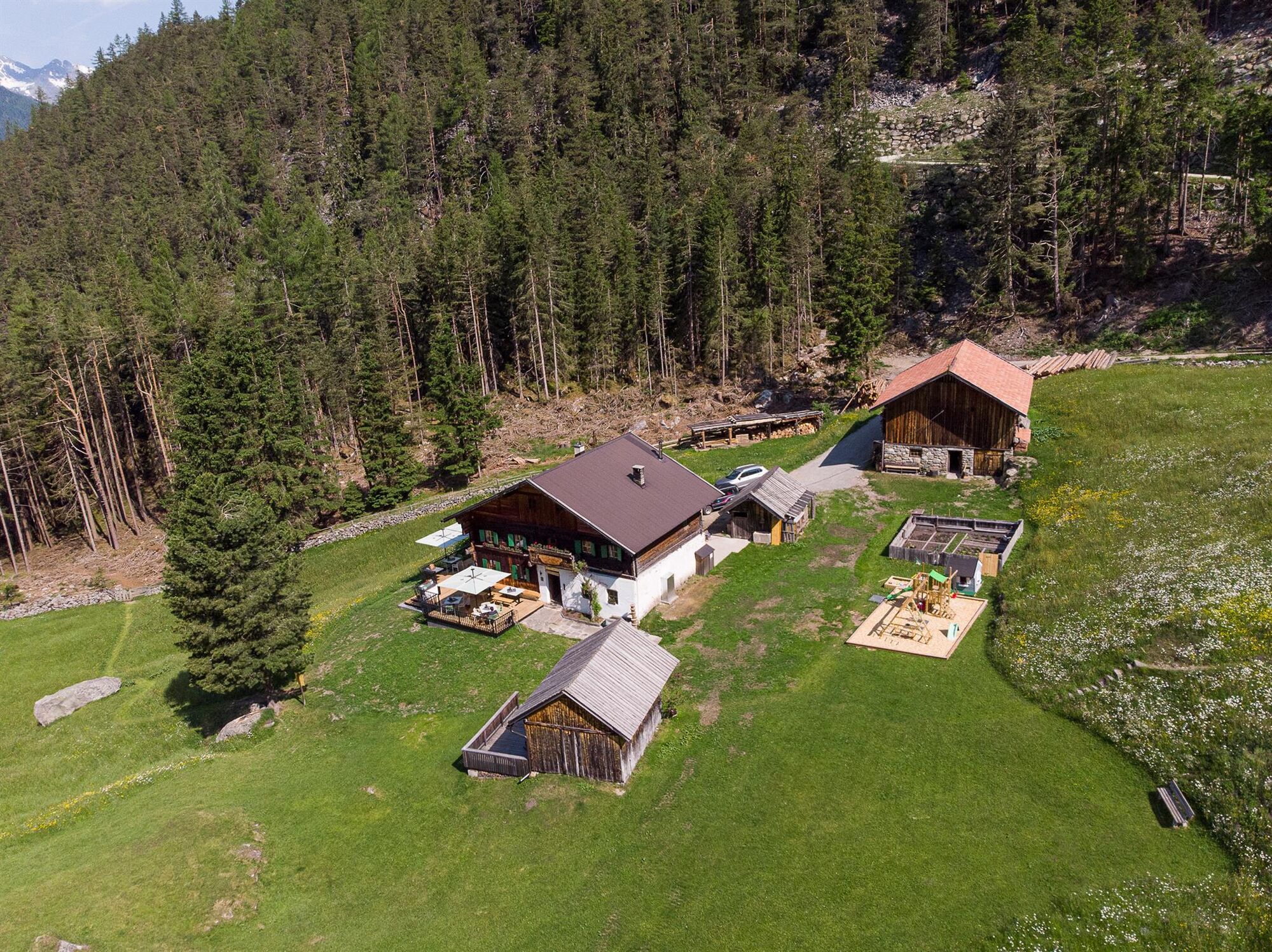
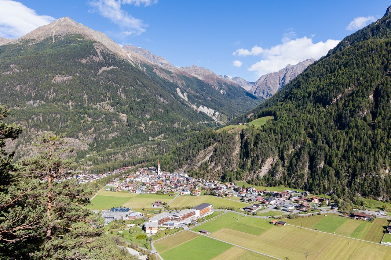
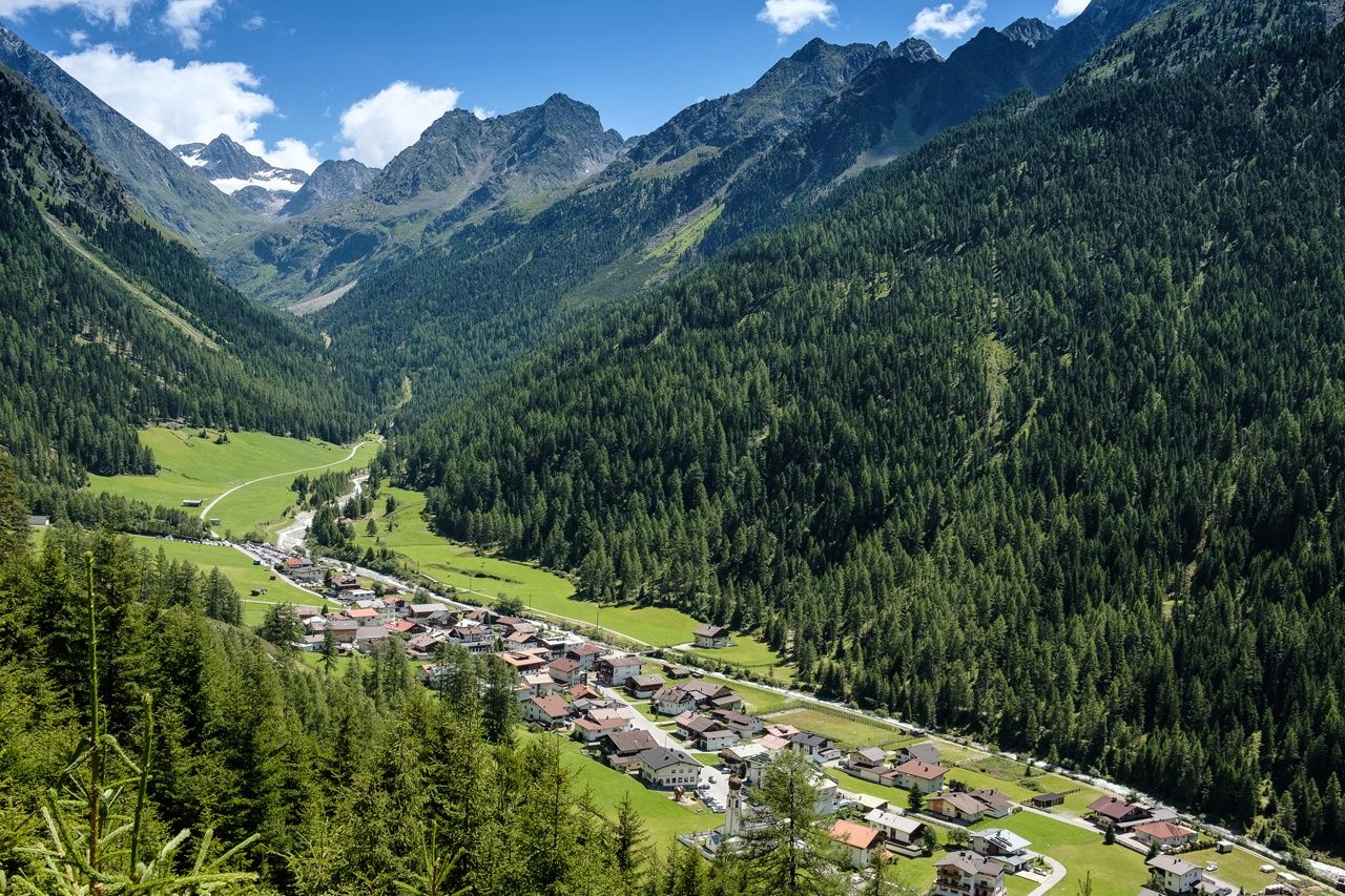
NIEDERTHAI –> Wiesle –> Hemrach Alm –> Dorf –> Ötztaler Ache –> Fischbach –> LÄNGENFELD
Due to construction work, there may be local detours here
- Difficoltà
-
intermedio
- Valutazione
-
- Percorso
-
SennhofNiederthai0,1 kmEnnebach0,3 kmÜberfeld0,7 kmLehen0,9 kmAdlerblick6,6 kmEspan8,8 kmDorf8,8 kmLehner Au10,3 kmOberlängenfeld12,8 kmLängenfeld (1.179 m)12,8 km
- La stagione migliore
-
genfebmaraprmaggiulugagosetottnovdic
- Punto più alto
- 1.822 m
- Destinazione
-
Längenfeld
- Profilo altimetrico
-


- Autore
-
Il tour Ötztaler Urweg E3 Niederthai - Längenfeld è utilizzato da outdooractive.com fornito.
GPS Downloads


Altri tour nelle regioni
-
Ötztal
1111
-
Längenfeld - Huben - Gries
355