© Anton_S
© Anton_S
© Anton_S
© Anton_S
© Anton_S
© Anton_S
© Anton_S
Dati percorsi
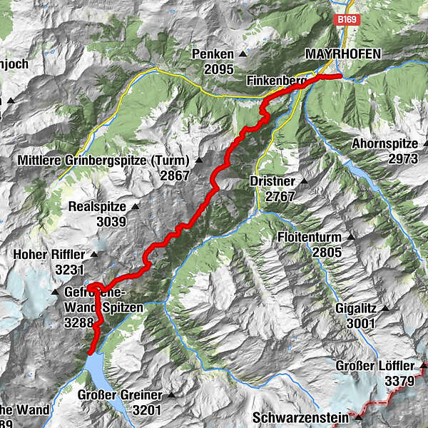
29,65km
635
- 2.510m
2.466hm
1.401hm
04:38h
- Descrizione rapida
-
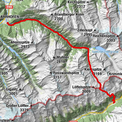
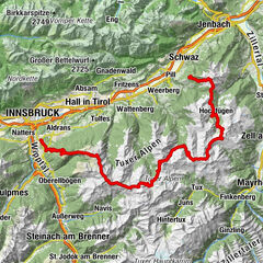
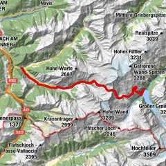
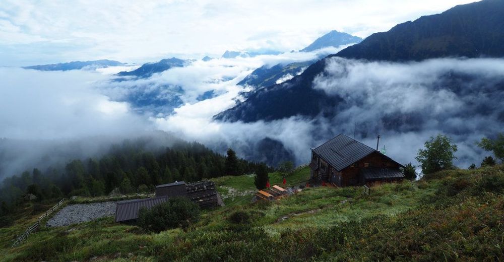
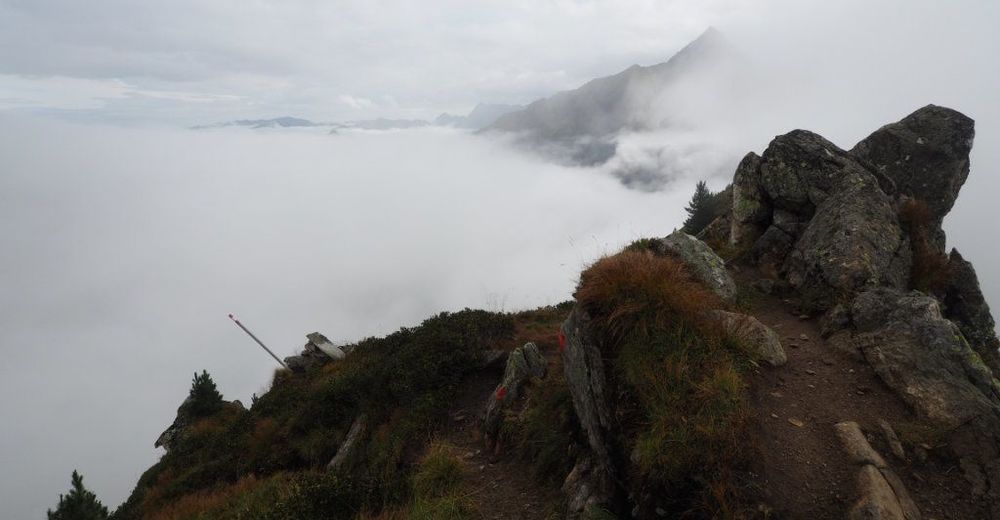
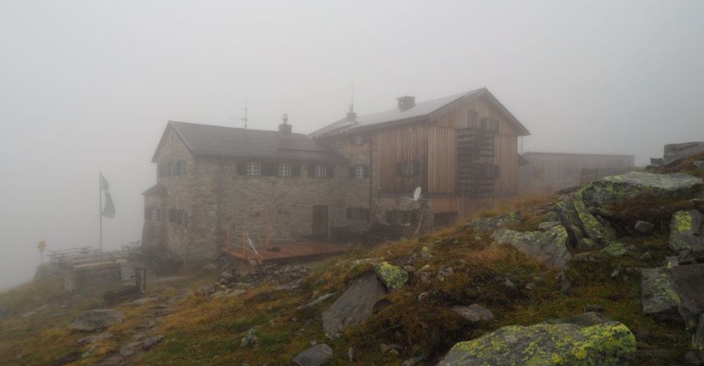
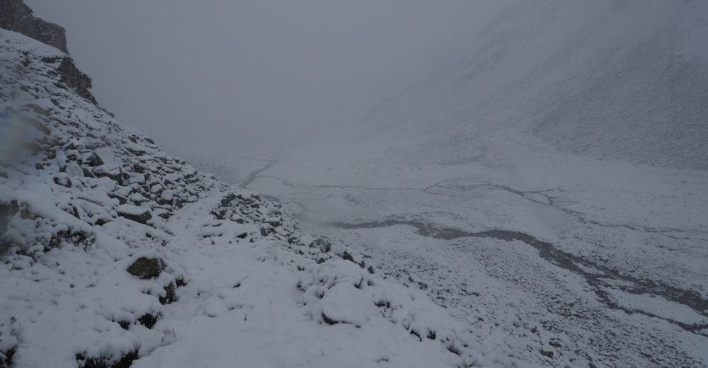
Mayrhofen(650)-Finkenberg(890)-Nesselwand(1305)-Gamshütte(1921)-Graue Platte(2140)-Feldalm(1861)-Pitzenalm(1871)-Gschwandteralm(2024)-Wesendlkarsee(2368)-Friesenberghaus(2477)-Friesenbergalm(2046)-Schlegeisspeicher(1790)
- Difficoltà
-
intermedio
- Valutazione
-
- Percorso
-
KumbichlMayrhofen (633 m)0,0 kmDorf-Haus0,5 kmGasthaus Hochsteg2,2 kmKapelle Hochsteg2,2 kmHochsteg2,5 kmFinkenberg3,9 kmKehlkopf7,9 kmGamshütte9,9 kmGraue Platte13,2 kmFriesenberghaus24,0 kmFriesenbergalm27,5 km
- La stagione migliore
-
genfebmaraprmaggiulugagosetottnovdic
- Punto più alto
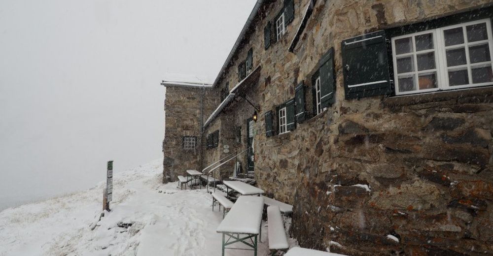
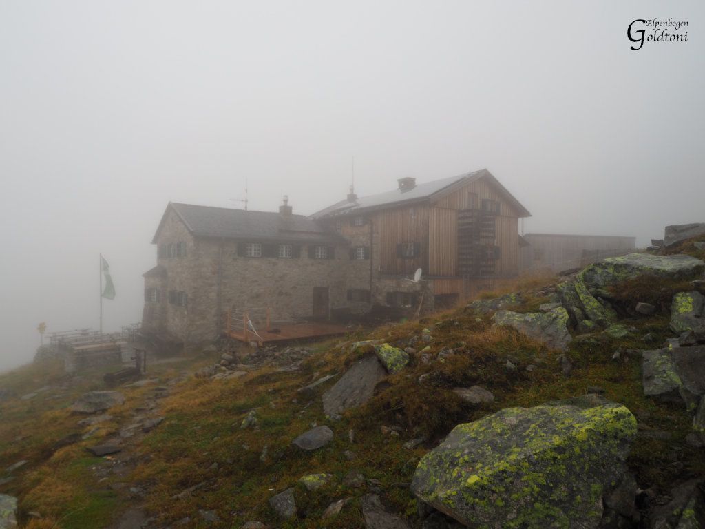
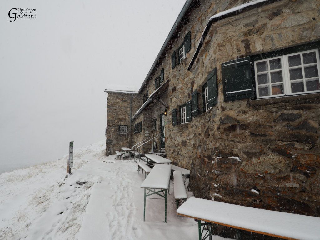
- Friesenberghaus (2.510 m)
- Riposo/Ritiro
-
Gamshütte (sehr empfehlenswert) Friesenberghaus (wenn man die Jause mitbringt ;)


- Fonte
- Toni Sommer
GPS Downloads


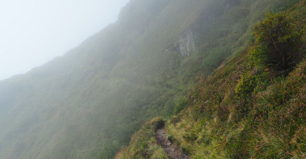
Condizioni dei sentieri
Asfalto
(5%)
Ghiaia
(30%)
Prato
(40%)
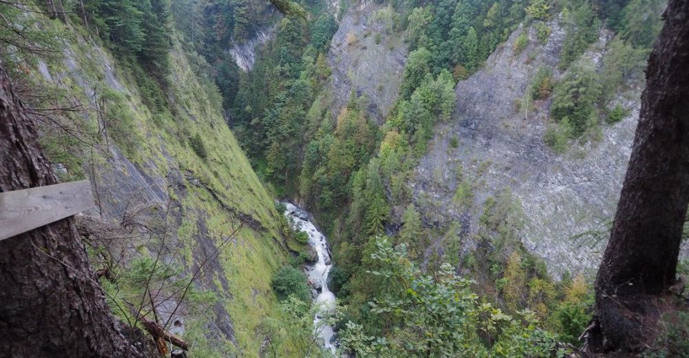
Foresta
(5%)
Roccia
(25%)
Esposta
(3%)
Altri tour nelle regioni
-
Brixen und Umgebung
1974
-
Tux - Finkenberg
986
-
Ginzling
240