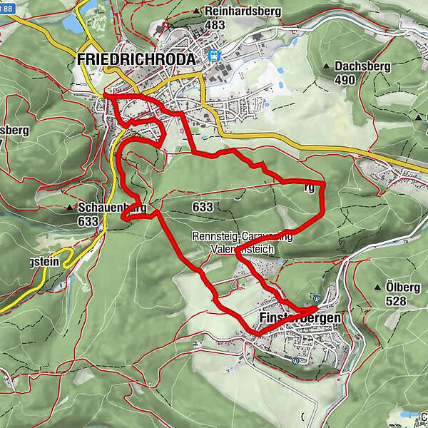
Rundwanderung - Finsterbergen - Friedrichroda - Thüringer Wald

Escursionismo


© Thüringen-entdecken.de - Paul Hentschel

© By Metilsteiner (Own work) [CC BY-SA 3.0 (http://creativecommons.org/licenses/by-sa/3.0)], via Wikimedia Commons - Metilsteiner

© Thüringen-entdecken.de - Paul Hentschel
© www.huellrod.de
- Descrizione rapida
-
Klimaterrainweg in der wohltuenden Heilklimaregion zwischen Friedrichroda und Finsterbergen am Nordrand des Thüringer Waldes.
- Difficoltà
-
intermedio
- Valutazione
-
- Percorso
-
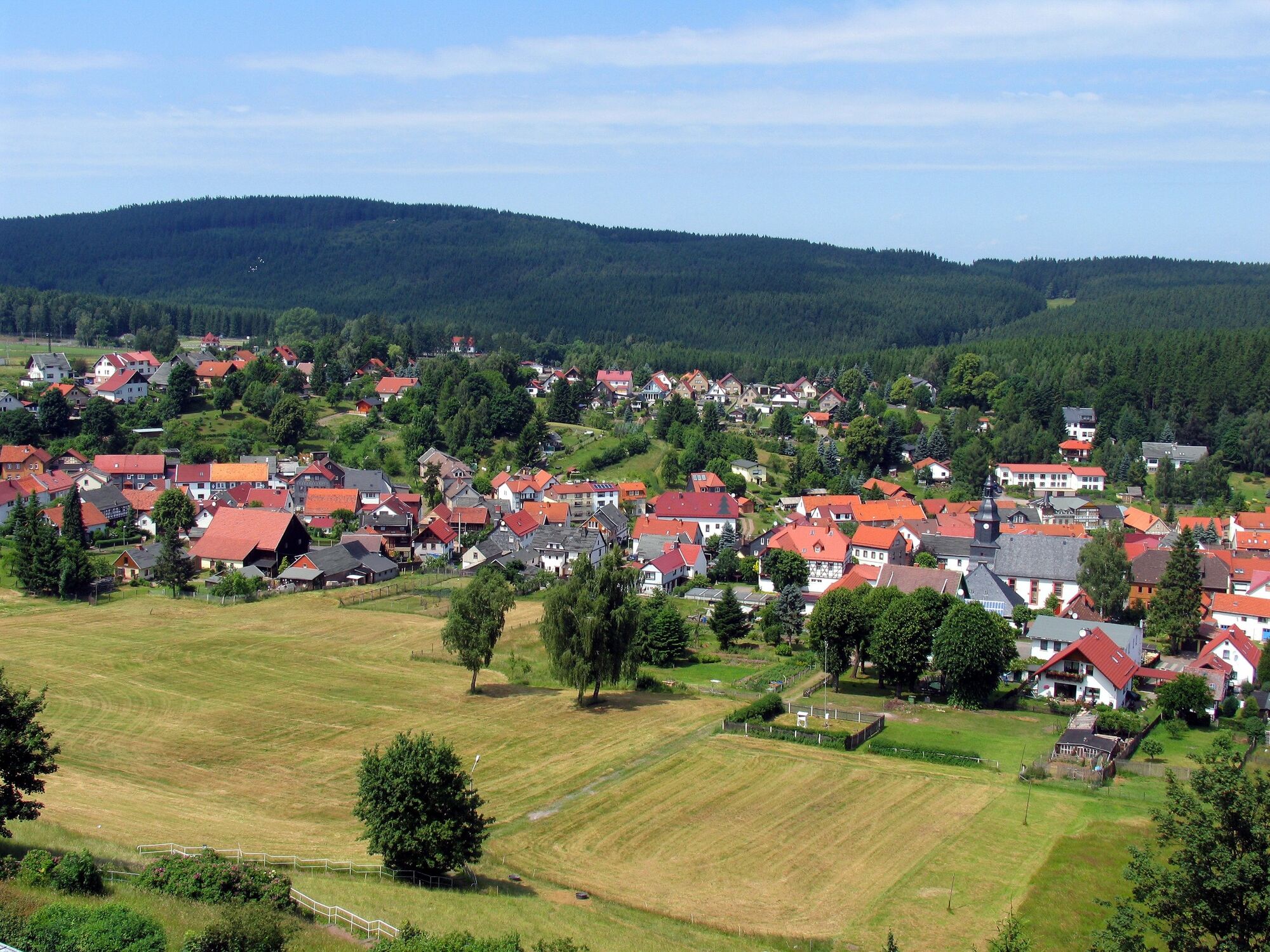
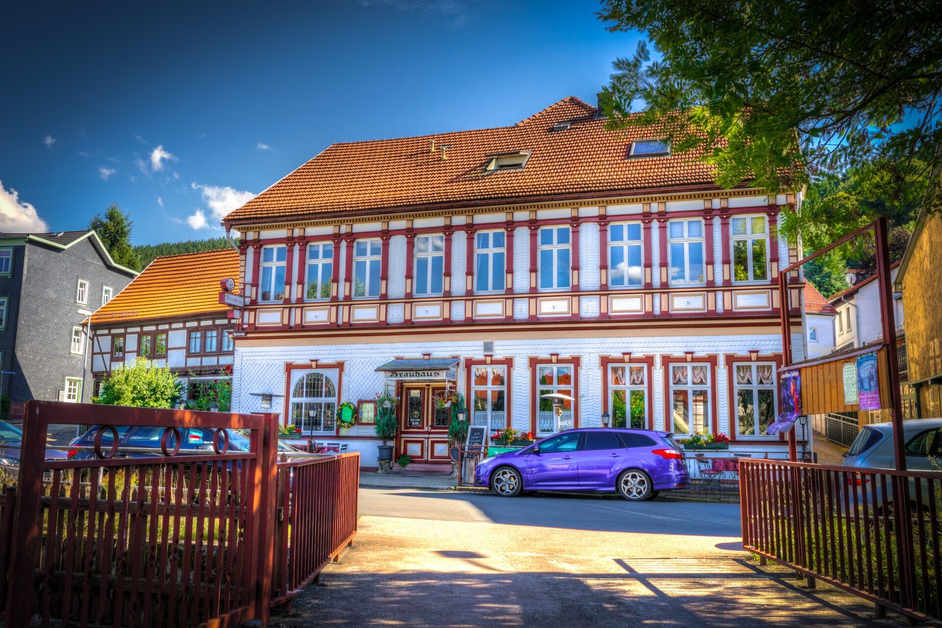
Friedrichroda0,1 kmChristuskirche0,2 kmSpenglers Born0,4 kmFinsterbergen5,5 kmLandeskirchliche Gemeinschaft10,9 kmSt. Karl Borromäus10,9 kmStadtkirche St. Blasius11,0 kmFriedrichroda11,2 km
- La stagione migliore
-
genfebmaraprmaggiulugagosetottnovdic
- Punto più alto
- 575 m
- Destinazione
-
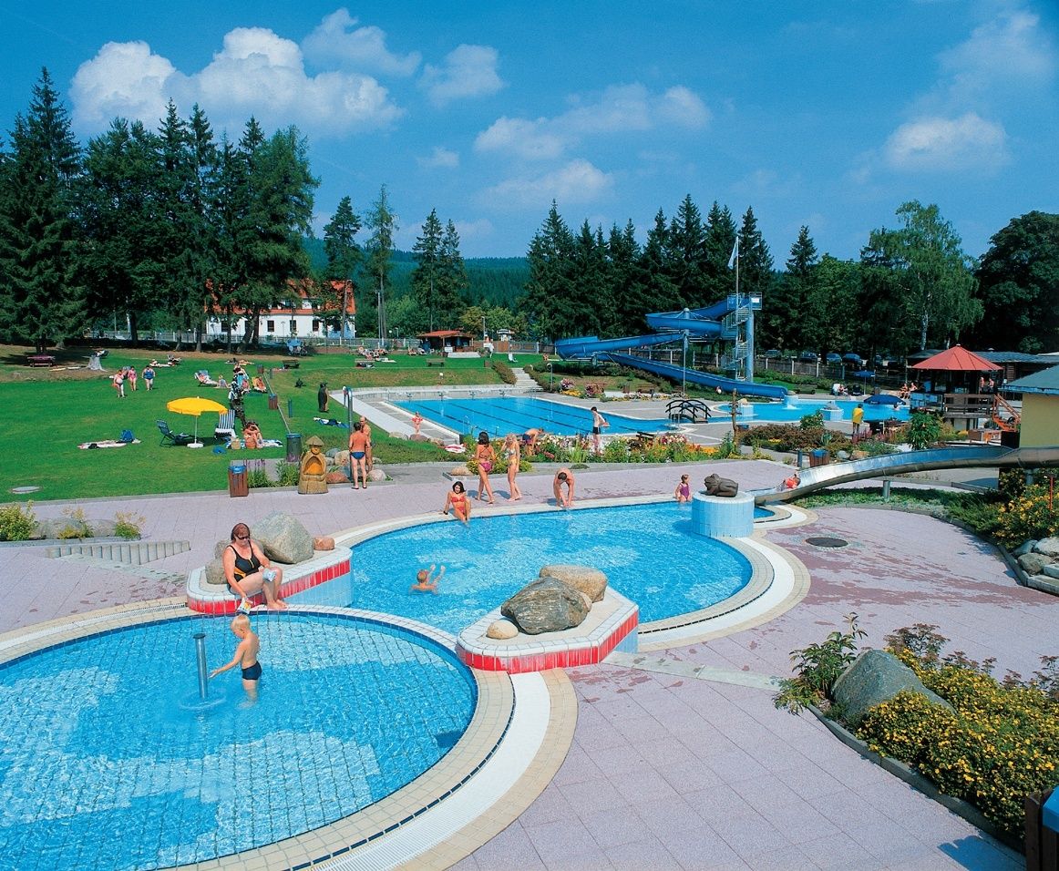
Kurpark Friedrichroda
- Profilo altimetrico
-
 © outdooractive.com


-

-
AutoreIl tour Rundwanderung - Finsterbergen - Friedrichroda - Thüringer Wald è utilizzato da outdooractive.com fornito.
GPS Downloads


Info generali
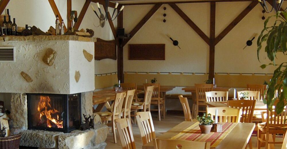
Punto di ristoro
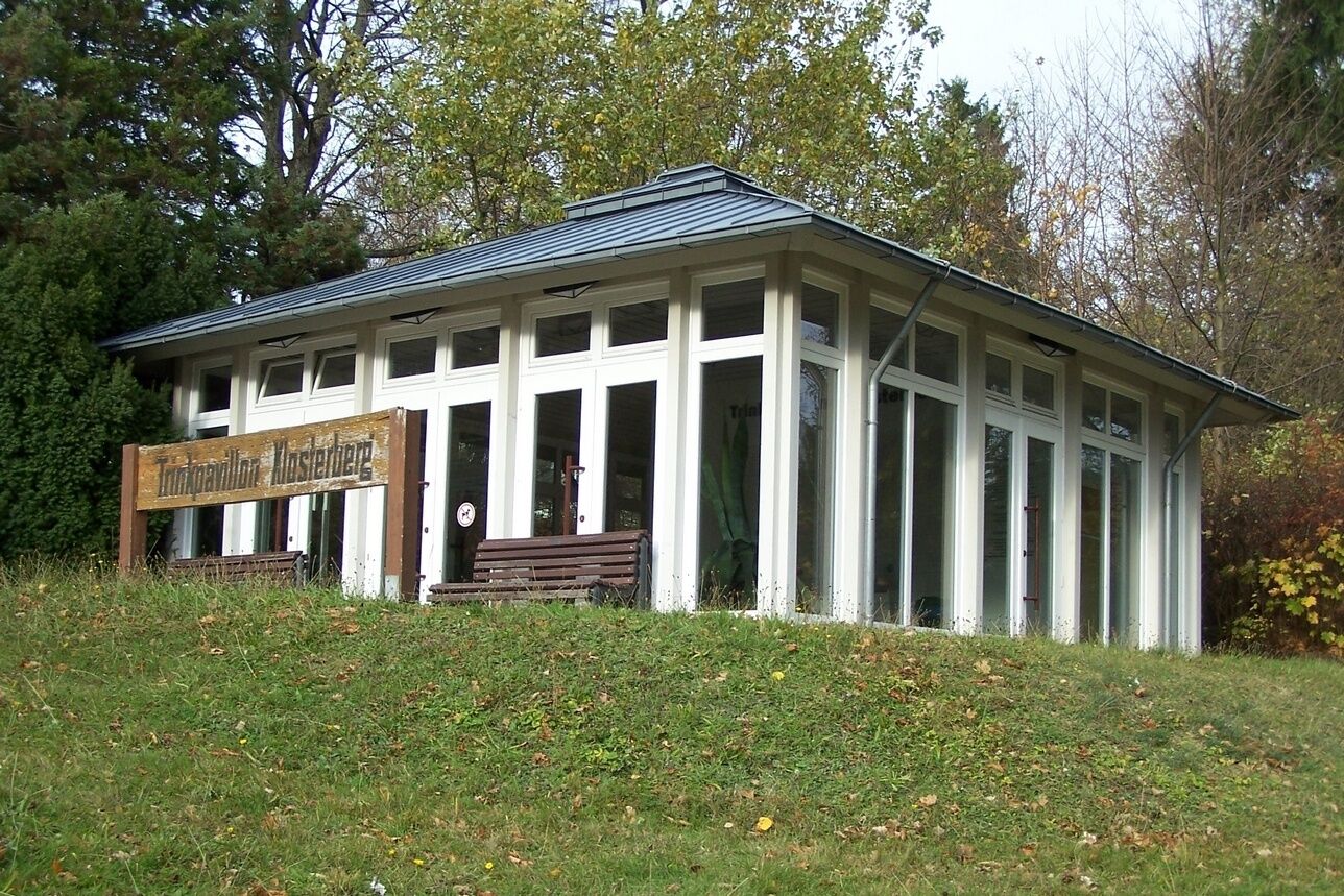
Clima curativo
Altri tour nelle regioni
")