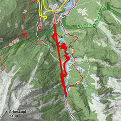
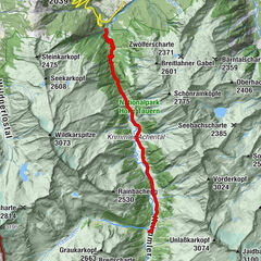
Krimmler Tauernhaus - Warnsdorfer Hütte - Gamsspitzl

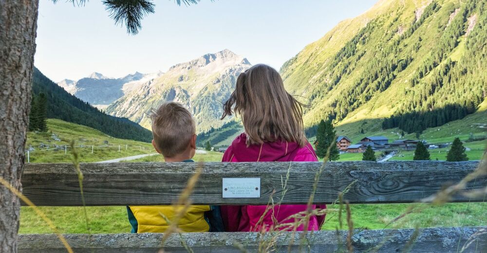
Escursionismo
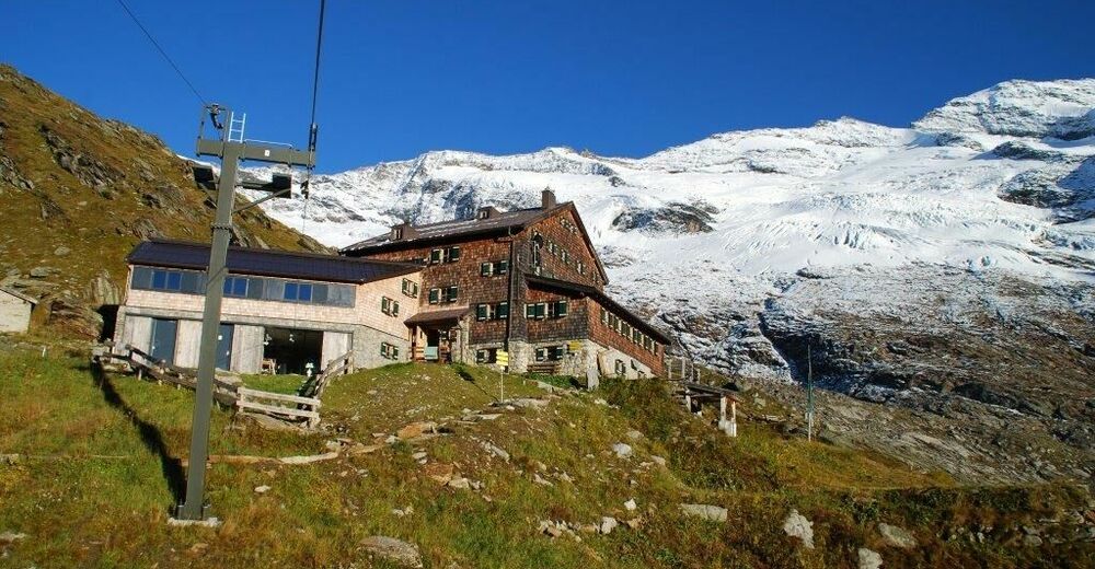
© Warnsdorfer Hütte
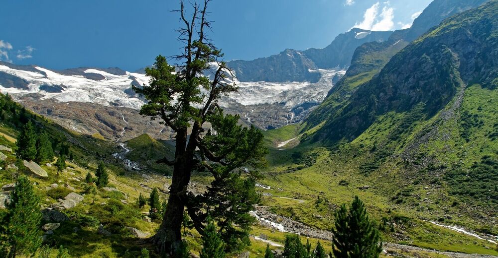


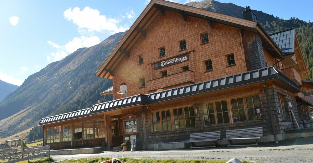
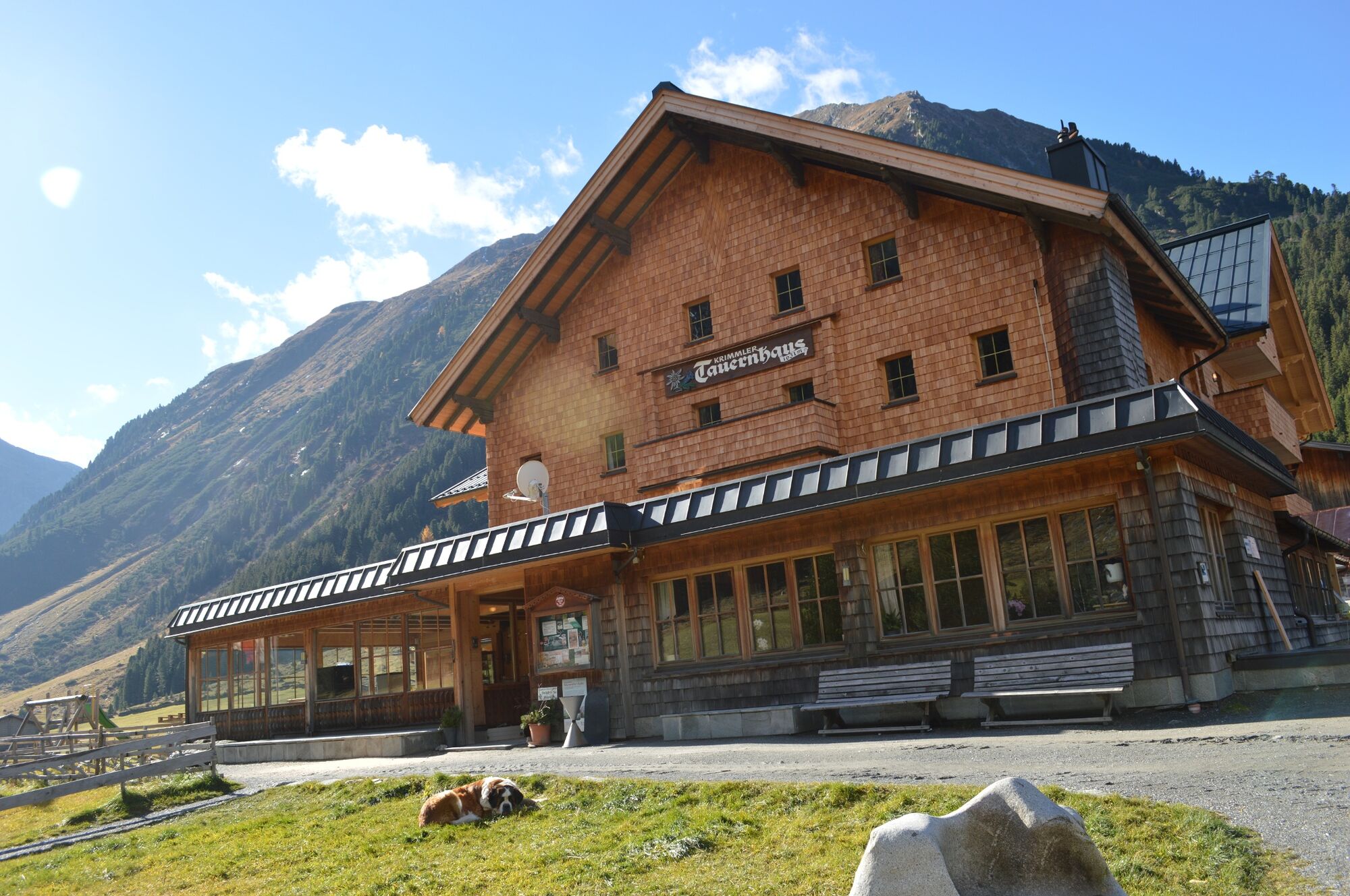
© Krimmler Tauernhaus


Dati percorsi
10,51km
1.621
- 2.839m
1.162hm
04:30h
- Descrizione rapida
-
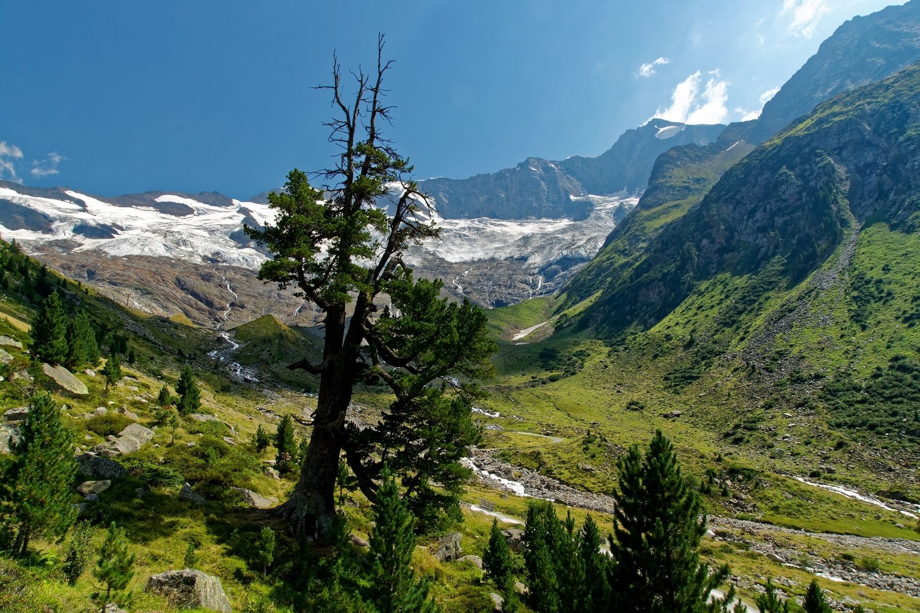
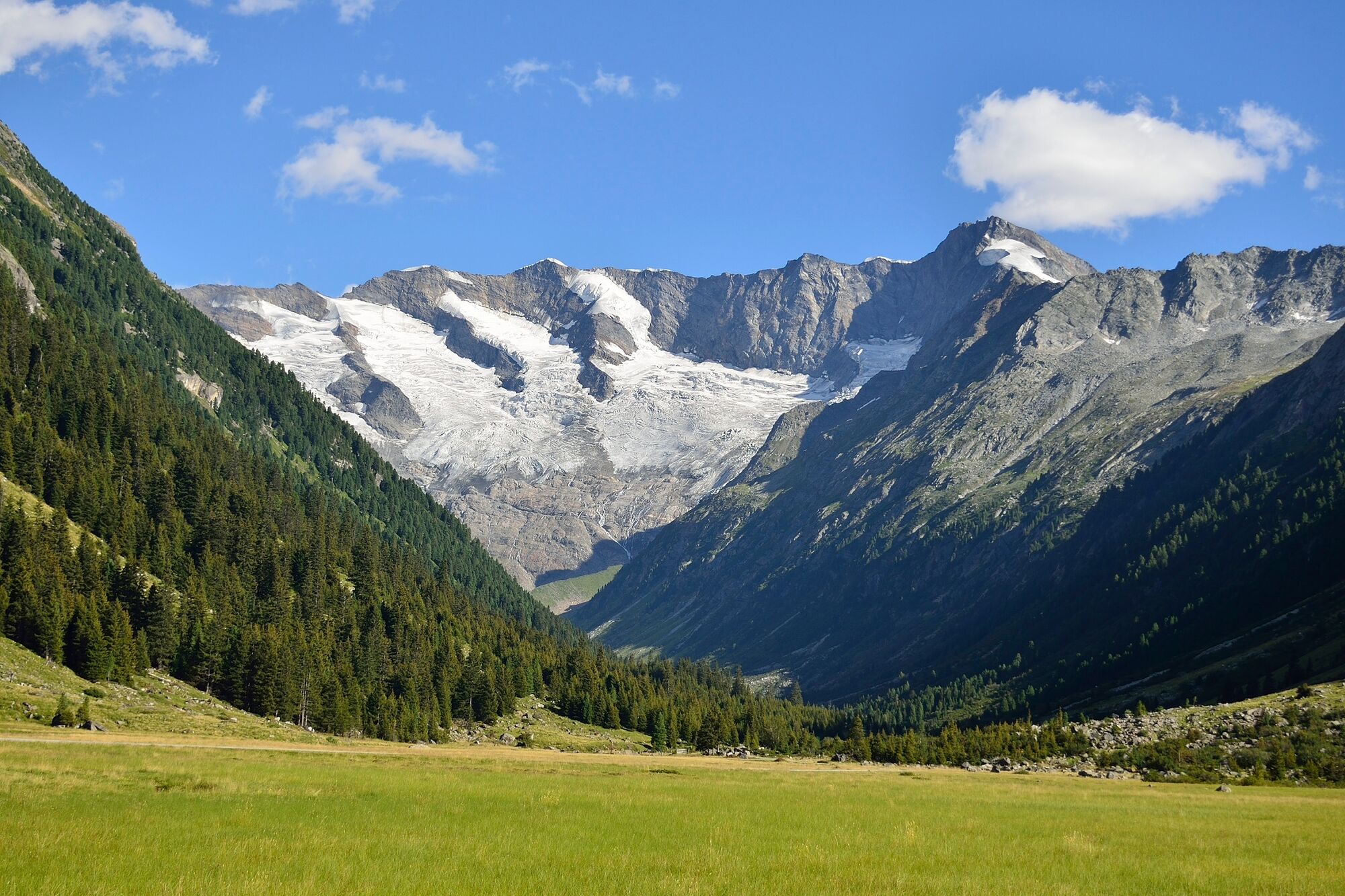
The ÖAV Warnsdorfer Hütte in beautiful Krimmler Achental, with its enchanting Eissee and popular Gamsspitzl mountain.
- Difficoltà
-
difficile
- Valutazione
-
- Percorso
-
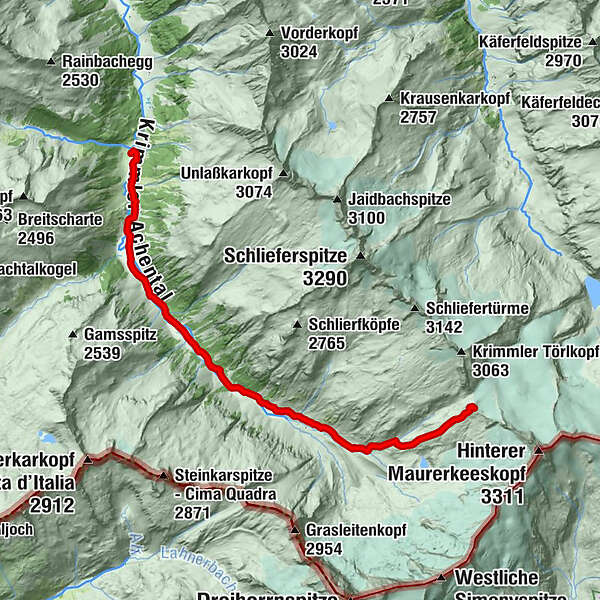
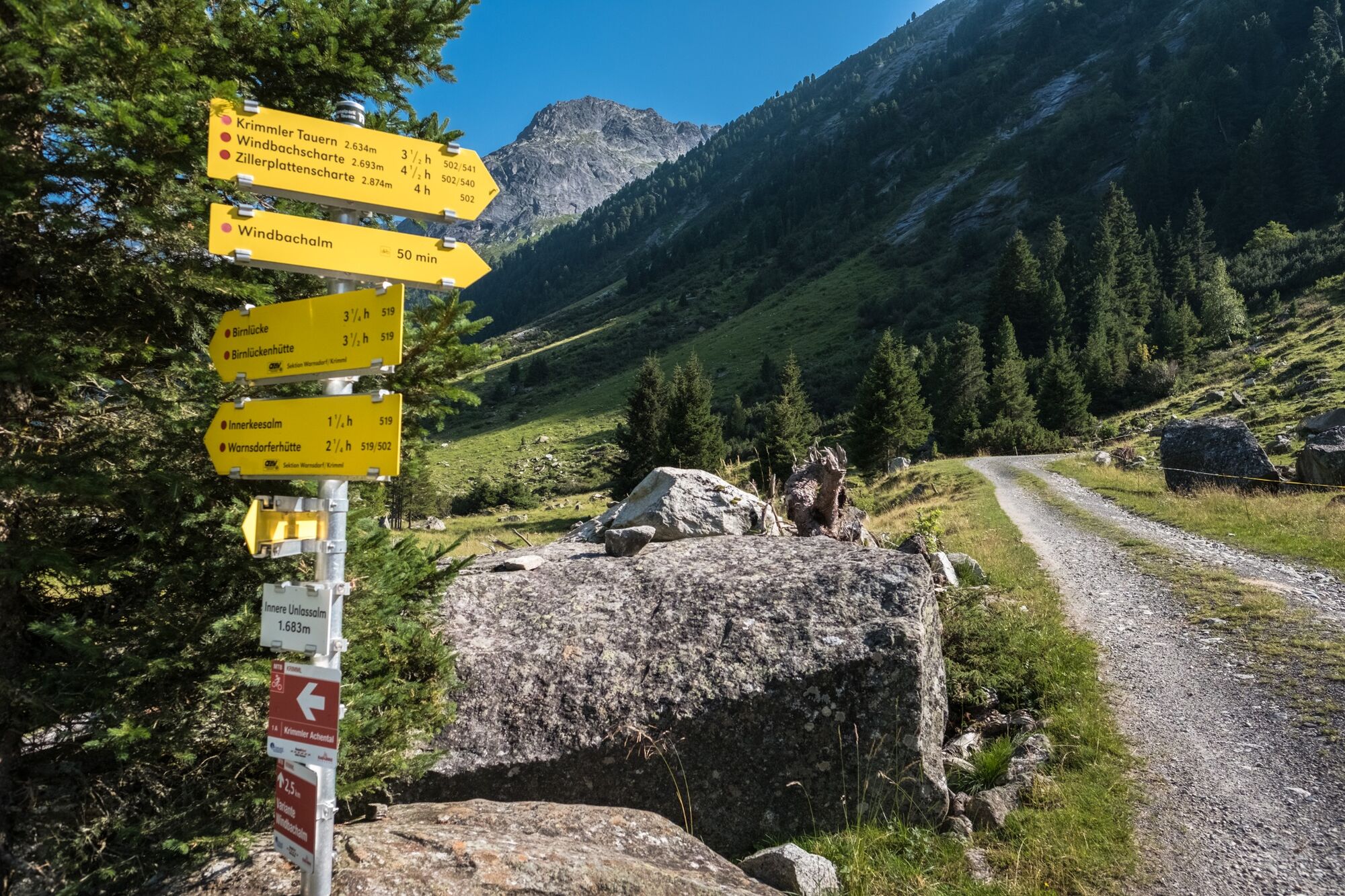
Krimmler Tauernhaus0,0 kmSommerlehenalm0,3 kmFoißgemäueralm0,9 kmHintereggalm1,1 kmKesserlalm1,3 kmAlbl1,6 kmAußerunlaßalm1,8 kmInnerunlaßalm2,9 kmJaidbachalm3,6 kmAußerkeesalm5,3 kmInnerkeesalm6,4 kmWarnsdorfer Hütte8,9 kmGamsspitzl (2.888 m)10,4 km
- La stagione migliore
-
genfebmaraprmaggiulugagosetottnovdic
- Punto più alto
- 2.839 m
- Destinazione
-
Gamsspitzl
- Profilo altimetrico
-


- Autore
-
Il tour Krimmler Tauernhaus - Warnsdorfer Hütte - Gamsspitzl è utilizzato da outdooractive.com fornito.
GPS Downloads


Info generali
Punto di ristoro
Promettente
Altri tour nelle regioni