
- Descrizione rapida
-
Trittsicherheit und Schwindelfreiheit erforderlich!
- Difficoltà
-
difficile
- Valutazione
-
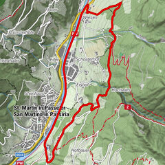
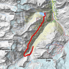
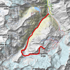
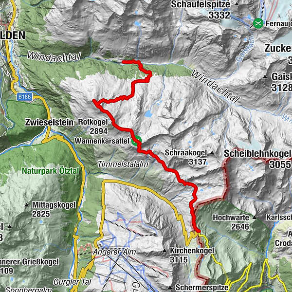
- Percorso
-
Wilde Rötespitze (2.966 m)5,4 kmRotkogel (2.894 m)6,2 kmBrunnenkogelhaus7,3 kmWindachalm11,7 km
- La stagione migliore
-
genfebmaraprmaggiulugagosetottnovdic
- Punto più alto
- 2.922 m
- Destinazione
-
Brunnenkoglhaus
- Profilo altimetrico
-
 © outdooractive.com
- Autore
-
Il tour Timmelsjoch - Brunnenkoglhaus è utilizzato da outdooractive.com fornito.
GPS Downloads


Info generali
Punto di ristoro
Suggerimento
Promettente
Altri tour nelle regioni
-
Meraner Land
1737
-
Ötztal
1111
-
Sölden
329