Dati percorsi
15,9km
1.456
- 2.427m
373hm
1.302hm
06:00h
- Descrizione rapida
-
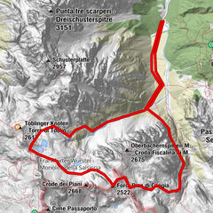
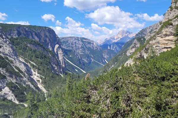
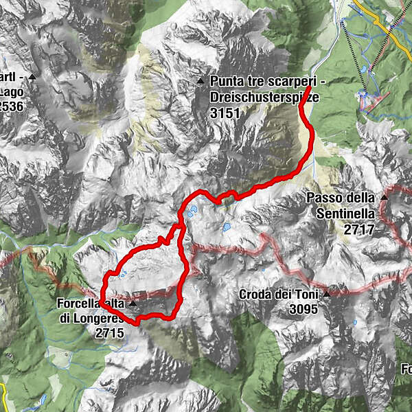
Die Umrundung der Drei Zinnen von der Drei Zinnen Hütte aus und anschließernder Abstieg ins Val Fiscalina.
- Difficoltà
-
intermedio
- Valutazione
-
- Punto di partenza
-
Drei Zinnen Hütte (2405m)
- La stagione migliore
-
genfebmaraprmaggiulugagosetottnovdic
- Punto più alto
- 2.427 m
- Destinazione
-
Fischleinboden (1454m)
- Riposo/Ritiro
-
Drei Zinnen Hütte (2405 m), Lavaredohütte (2344 m), Auronzohütte (2320 m)
- Cartine
-
Sextener Dolomiten: Wanderkarte Tabacco 010. 1:25000: Dolomiti di Sesto
GPS Downloads


Condizioni dei sentieri
Asfalto
Ghiaia
Prato
Foresta
Roccia
Esposta
Altri tour nelle regioni
-
Belluno-Dolomiti
1073
-
Dolomitenregion Drei Zinnen
685
-
Misurina
167