© Erlebnisregion Murtal - Stefanie Hofer

© Erlebnisregion Murtal - 50plus Campingpark Fisching

© Erlebnisregion Murtal - Anita Fössl

© Erlebnisregion Murtal - 50plus Campingpark Fisching


- Descrizione rapida
-
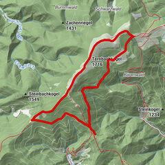
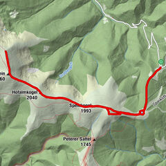
Panoramic hike from Eppenstein via the Kickerlochhütte (1517m) to the Größenberg (2152m).
- Difficoltà
-
difficile
- Valutazione
-
- Percorso
-
Größenberg (2.152 m)7,8 km
- La stagione migliore
-
genfebmaraprmaggiulugagosetottnovdic
- Punto più alto
- 2.153 m
- Destinazione
-
Eppenstein
- Profilo altimetrico
-


- Autore
-
Il tour Eppenstein - Größenberg è utilizzato da outdooractive.com fornito.
GPS Downloads


Altri tour nelle regioni