


Dati percorsi
14,91km
780
- 1.565m
920hm
920hm
05:00h
- Descrizione rapida
-
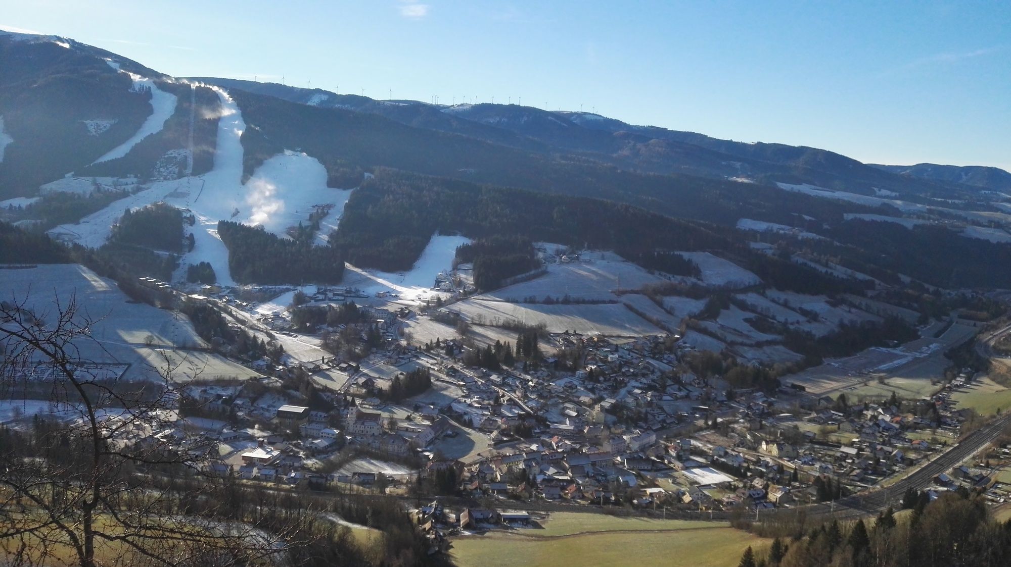
Auf und über den Hausberg von Spital
- Difficoltà
-
facile
- Valutazione
-
- Punto di partenza
-
Talstation Stuhleckbahn
- Percorso
-
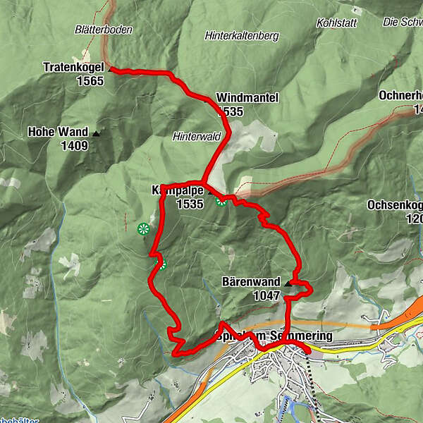
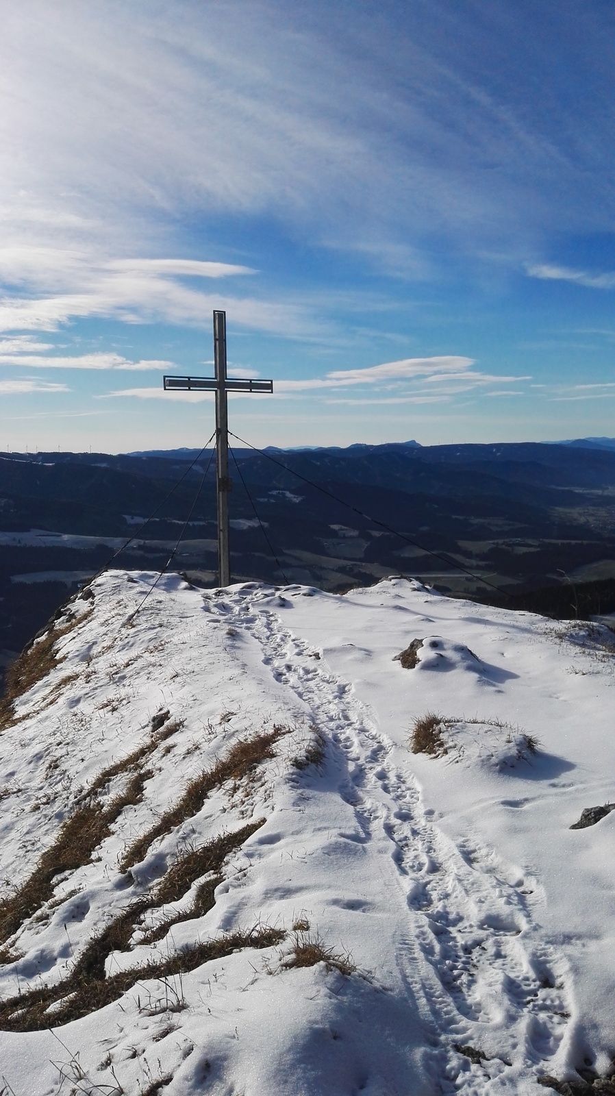
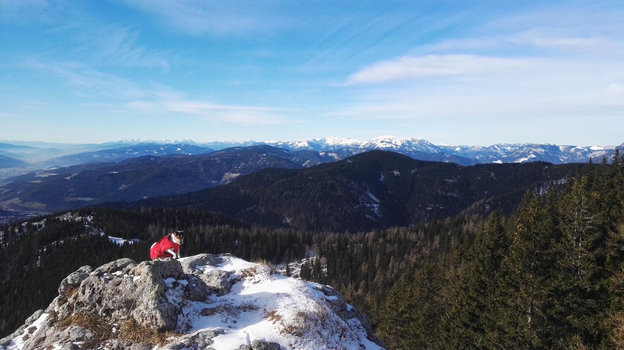
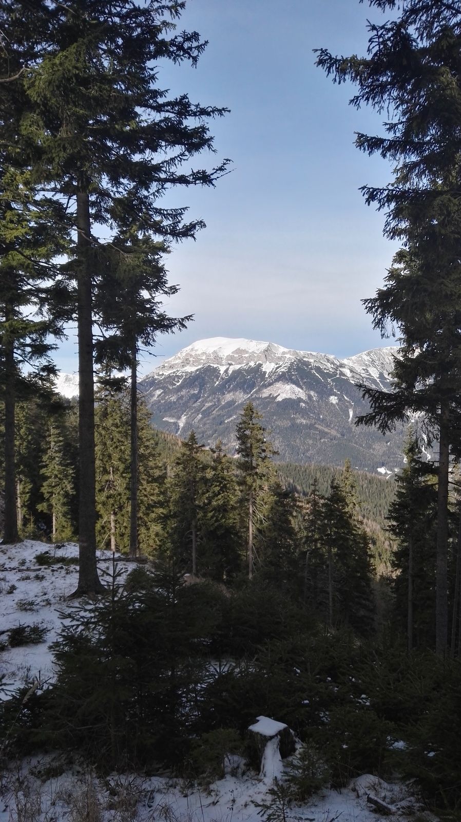
Toms Hütte0,0 kmSpital am Semmering0,4 kmBärenwand (1.047 m)1,7 kmKampalpe (1.535 m)4,1 kmWindmantel (1.534 m)5,4 kmTratenkogel (1.565 m)6,8 kmWindmantel (1.534 m)8,1 kmSpezialistenkluft10,5 kmFranziskaquelle11,2 kmZatzkakapelle13,5 kmSpital am Semmering13,9 kmPichl14,2 kmSpital am Semmering14,3 kmToms Hütte14,9 km
- La stagione migliore
-
genfebmaraprmaggiulugagosetottnovdic
- Punto più alto
- Trattekogel (1.565 m)
- Destinazione
-
Talstation Stuhleckbahn
- Riposo/Ritiro
-
unterwegs keine
- Cartine
-
Ich schwöre auf die BEV-Karten im Maßstab 1:25.000.
Hier brauchen wir den Ausschnitt NL 33-02-12 West, Semmering
GPS Downloads


Condizioni dei sentieri
Asfalto
Ghiaia
Prato
Foresta
Roccia
Esposta
Altri tour nelle regioni
-
Hochsteiermark
4082
-
Waldheimat
2196
-
Spital am Semmering / Stuhleck
786


