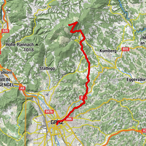
Dati percorsi
23,33km
366
- 1.438m
1.179hm
107hm
07:44h
- Descrizione rapida
-
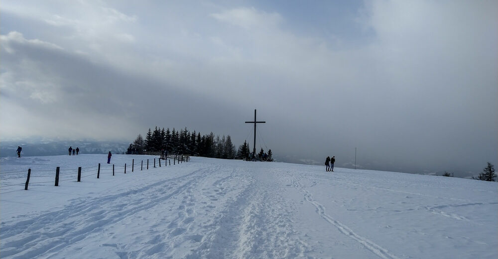
Hike from the Styrian capital to its local mountain.
- Difficoltà
-
intermedio
- Valutazione
-
- Punto di partenza
-
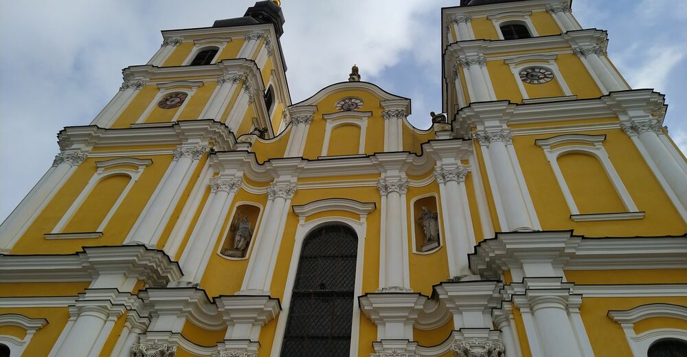
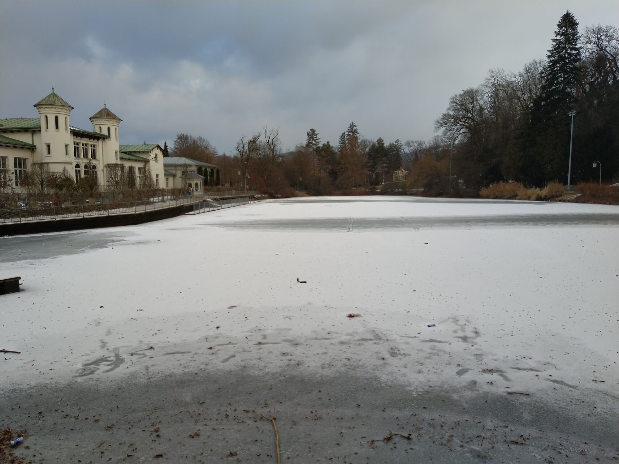
Town Centre Graz
- Percorso
-
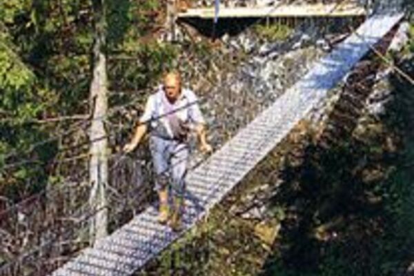
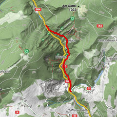
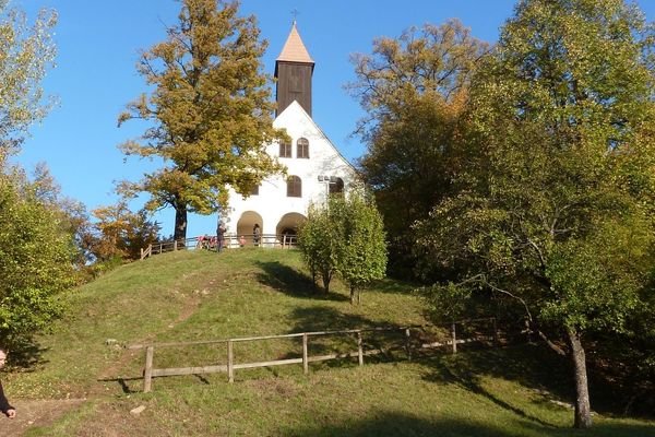
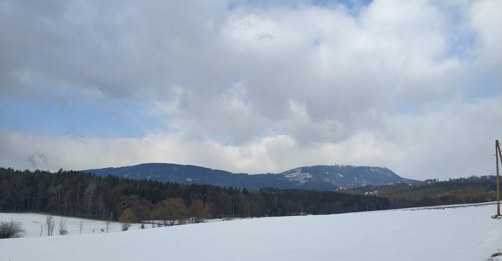
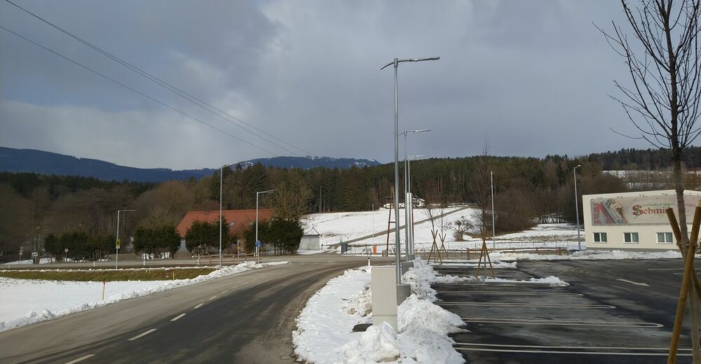
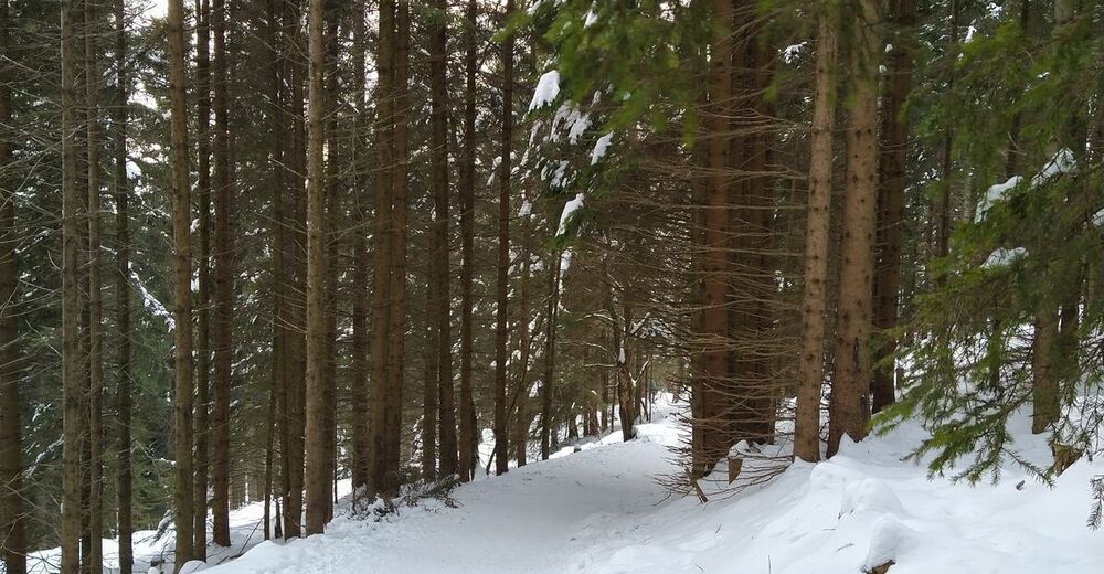
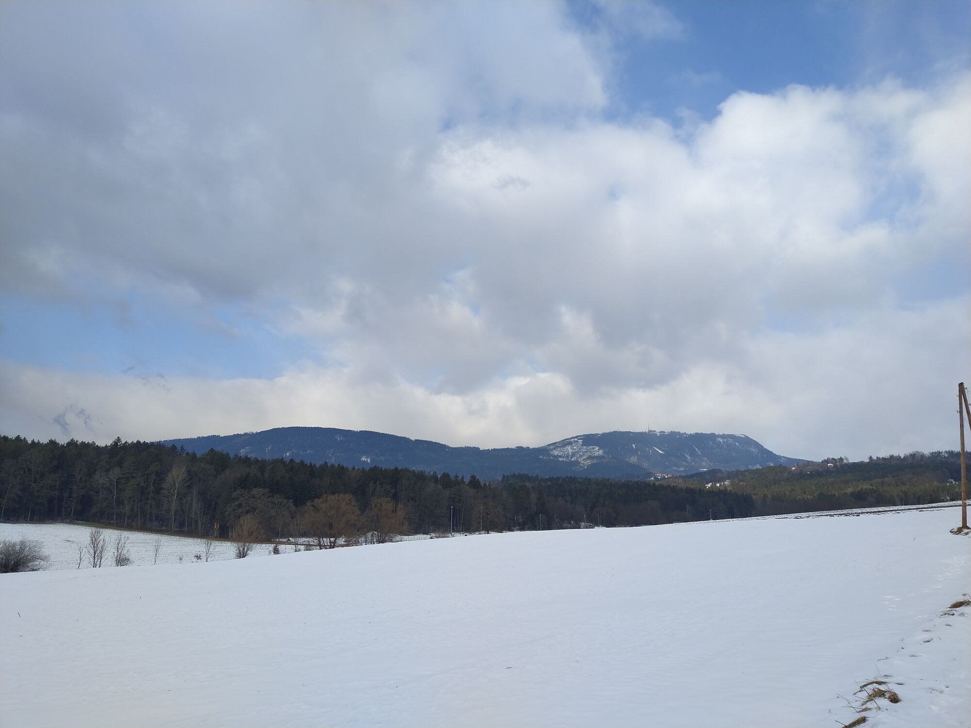
Graz (353 m)Schloßberghöhle (366 m)0,1 kmStiegenkirche0,1 kmInnere Stadt0,3 kmLeechkirche1,0 kmUniviertel1,2 kmBasilika Mariatrost7,2 kmPurberg (470 m)7,2 kmSternwirt9,6 kmNiederschöckl12,0 kmRinnegg14,4 kmWillkomm-Quelle (660 m)16,2 kmRoschker-Quelle16,8 kmEremitenquelle17,1 kmStationskapelle17,2 kmKalvarienbergquelle17,2 kmKalvarienbergkirche17,2 kmPfarrkirche St. Radegund17,3 kmSankt Radegund bei Graz17,3 kmSchöneben20,5 kmSchöcklkopf (1.423 m)22,0 kmJohannes Kapelle22,3 kmSchöckl (1.445 m)23,2 km
- La stagione migliore
-
genfebmaraprmaggiulugagosetottnovdic
- Punto più alto
- 1.438 m
- Destinazione
-
Schöckl, Westgipfel
- Riposo/Ritiro
-
Several inns along the way


- Fonte
- Gerald F.
GPS Downloads


Altri tour nelle regioni
-
Erlebnisregion Graz
2781
-
Grazer Bergland - Schöcklland
1701
-
Weinitzen
672