

© Erlebnisregion Schladming-Dachstein - Schladming Dachstein - TVB Gröbminger Land
© Erlebnisregion Schladming-Dachstein - Schladming Dachstein
© Erlebnisregion Schladming-Dachstein - Schladming Dachstein
© Erlebnisregion Schladming-Dachstein - Schladming Dachstein

© Erlebnisregion Schladming-Dachstein - Schladming Dachstein - TVB Gröbminger Land

© Erlebnisregion Schladming-Dachstein - Schladming Dachstein - TVB Gröbminger Land

© Erlebnisregion Schladming-Dachstein - Schladming Dachstein - TVB Gröbminger Land

© Erlebnisregion Schladming-Dachstein - Schladming Dachstein - TVB Gröbminger Land

© Erlebnisregion Schladming-Dachstein - Schladming Dachstein - TVB Gröbminger Land

© Erlebnisregion Schladming-Dachstein - Schladming Dachstein - TVB Gröbminger Land

- Descrizione rapida
-
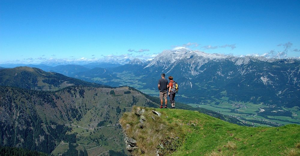
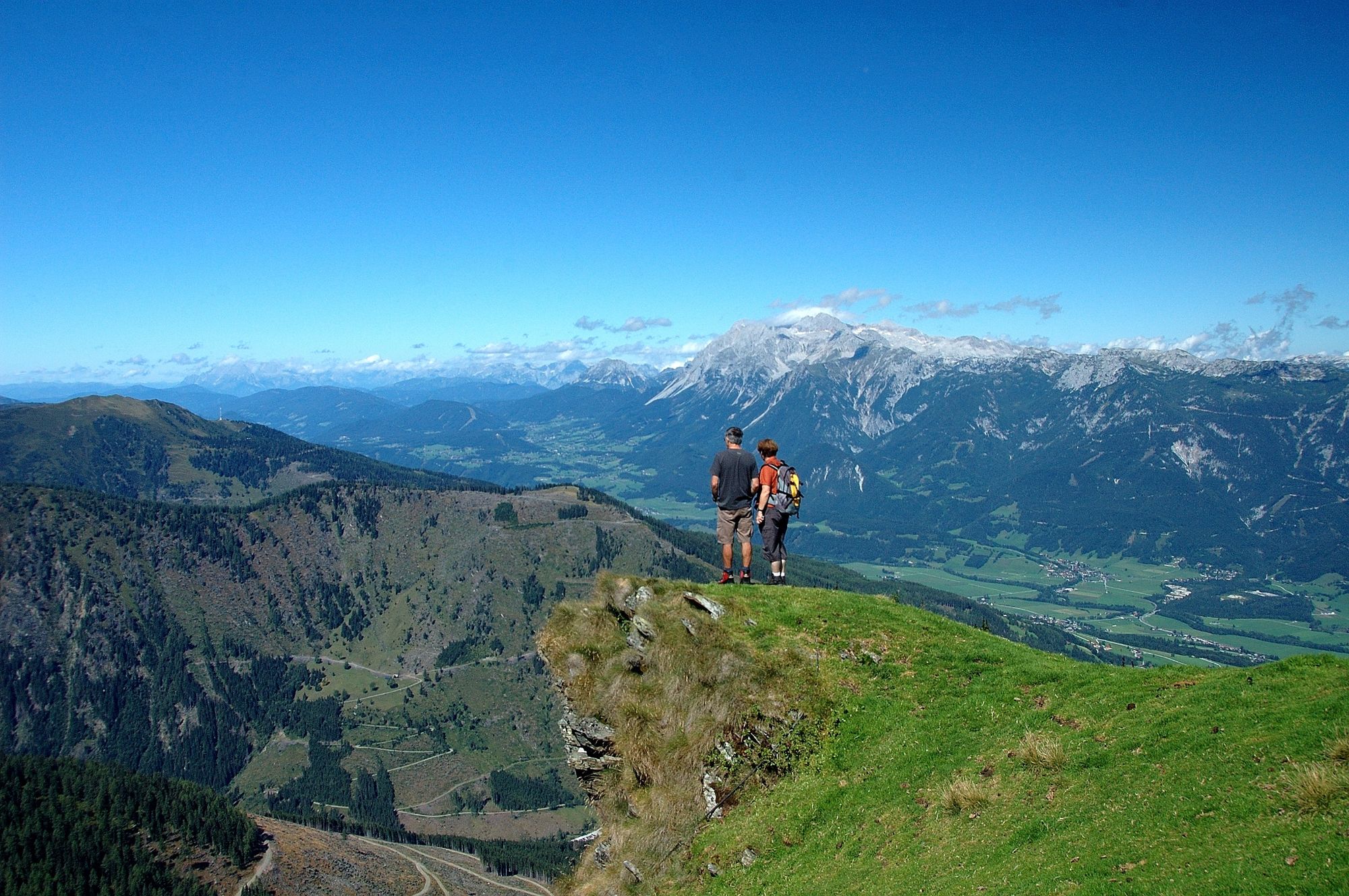
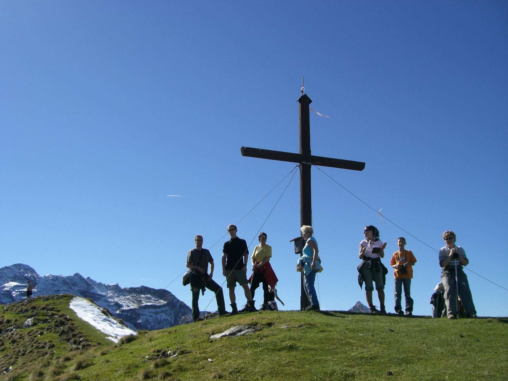
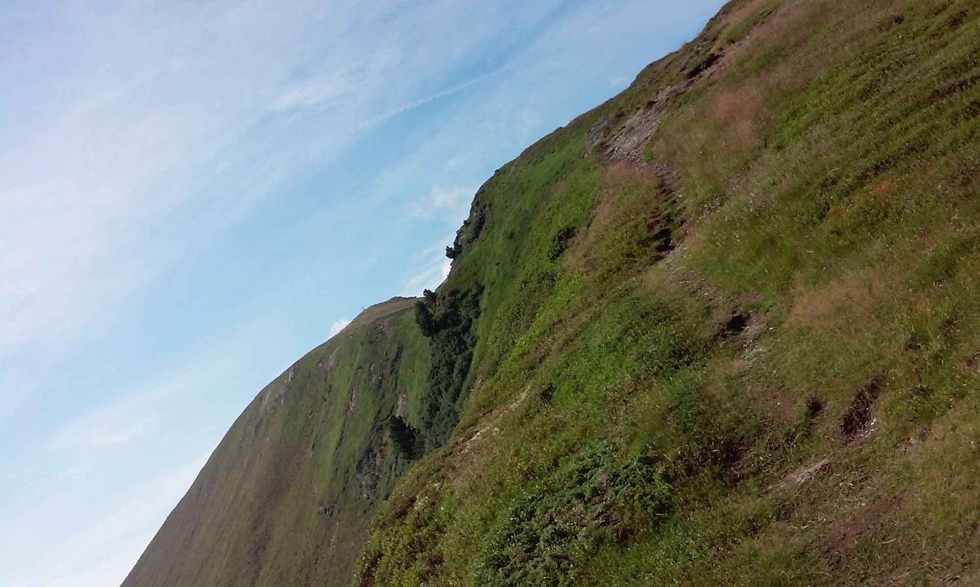
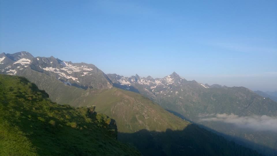
A beautiful hike to an easy-to-reach lookout mountain high above the Ennstal.
- Difficoltà
-
intermedio
- Valutazione
-
- Percorso
-
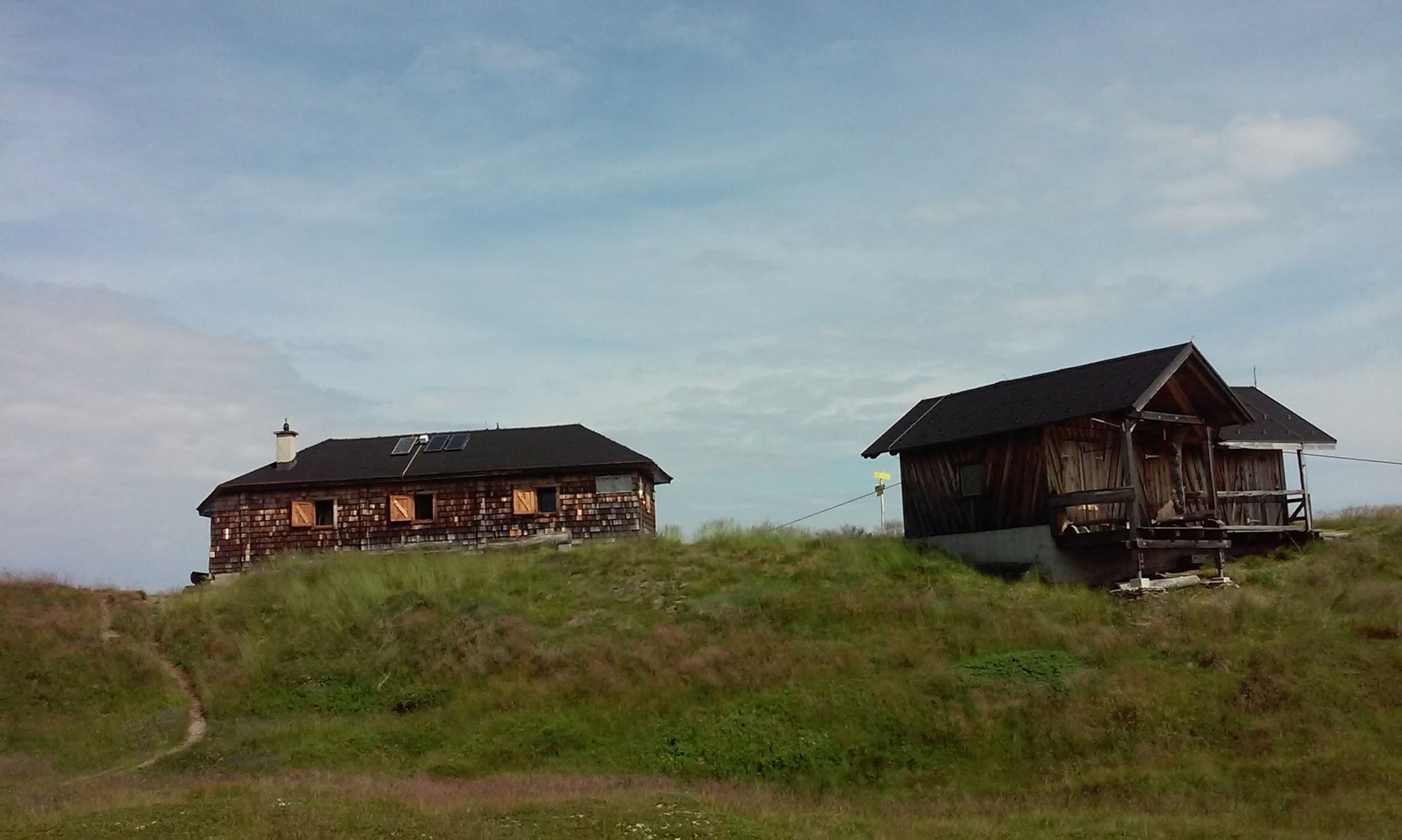
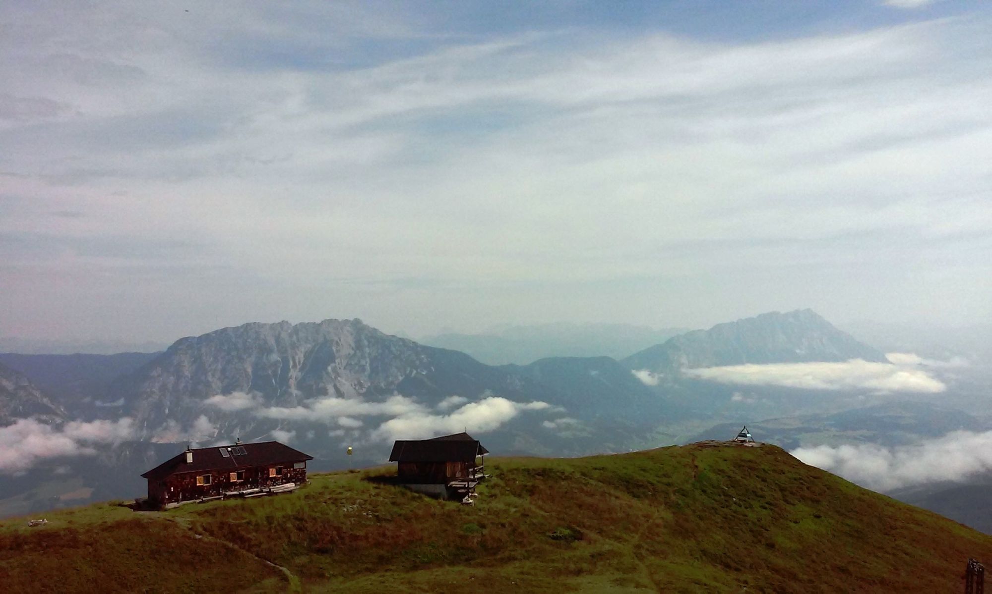
Galsterbergalm0,0 kmBottinghaus0,1 kmPleschnitzzinkenhütte1,8 kmPleschnitzzinken (2.112 m)2,6 kmJagdhütte4,6 kmGalsterbergalmhütte4,7 kmGalsterbergalm5,1 kmBottinghaus5,3 km
- La stagione migliore
-
genfebmaraprmaggiulugagosetottnovdic
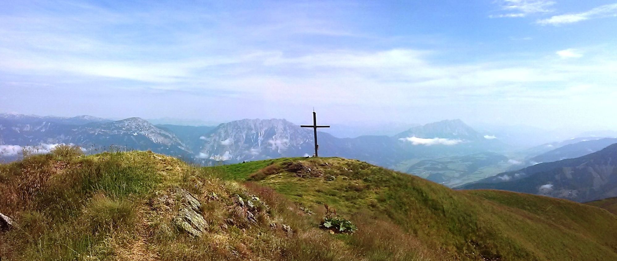
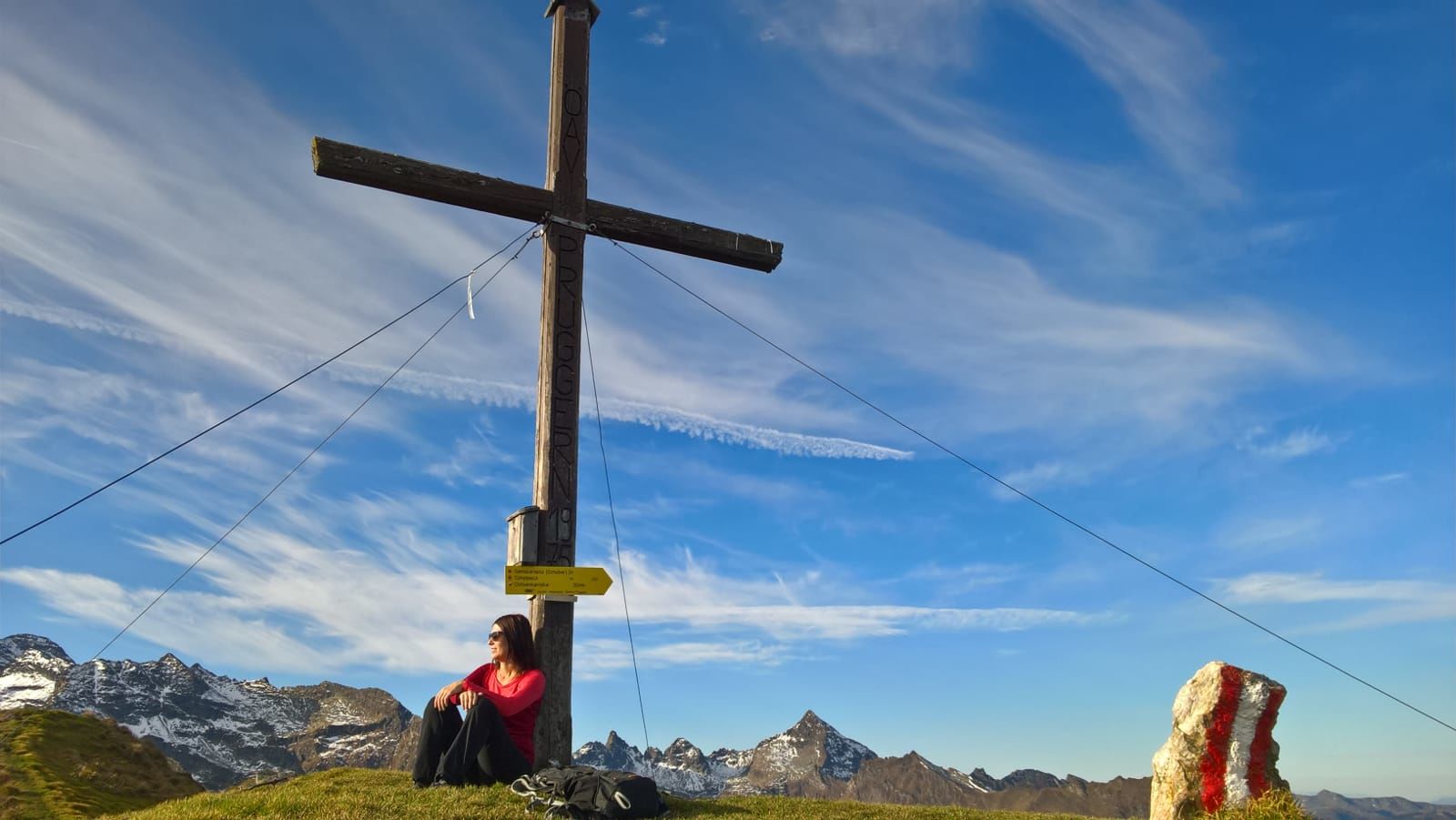
- Punto più alto
- 2.103 m
- Destinazione
-
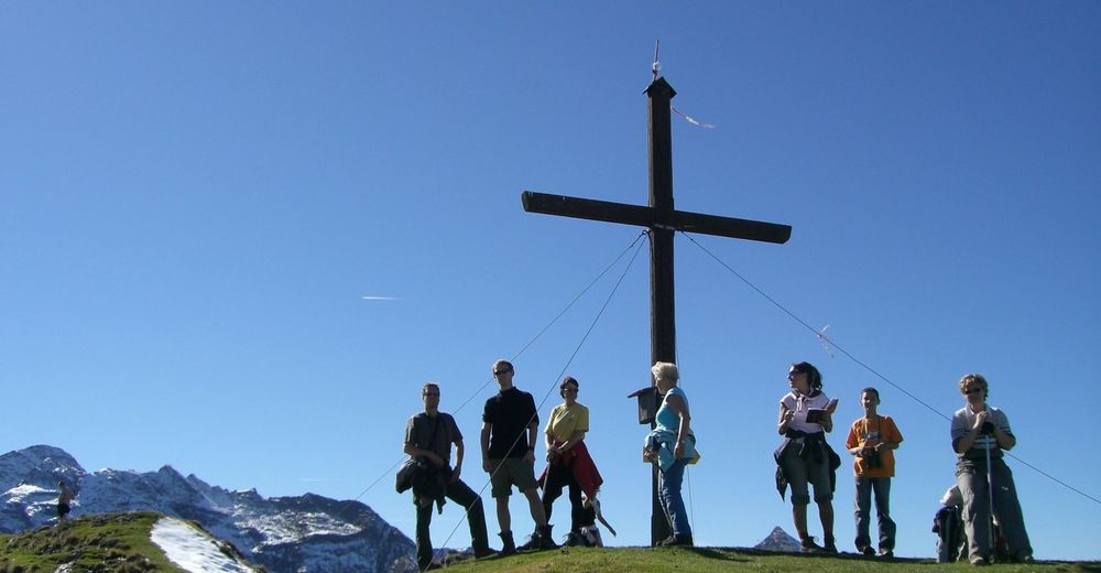
Pleschnitzzinken
- Profilo altimetrico
-


- Autore
-
Il tour Pleschnitzzinken 2.112 m è utilizzato da outdooractive.com fornito.
GPS Downloads


Info generali
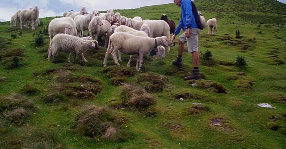
Punto di ristoro
Flora
Altri tour nelle regioni
-
Schladming - Dachstein
2999
-
Haus - Aich
1364
-
Michaelerberg-Pruggern
234


