© WEGES OG

© WEGES OG

© WEGES OG

© WEGES OG

© WEGES OG

© WEGES OG

© WEGES OG

© WEGES OG

© WEGES OG

© WEGES OG

- Descrizione rapida
-
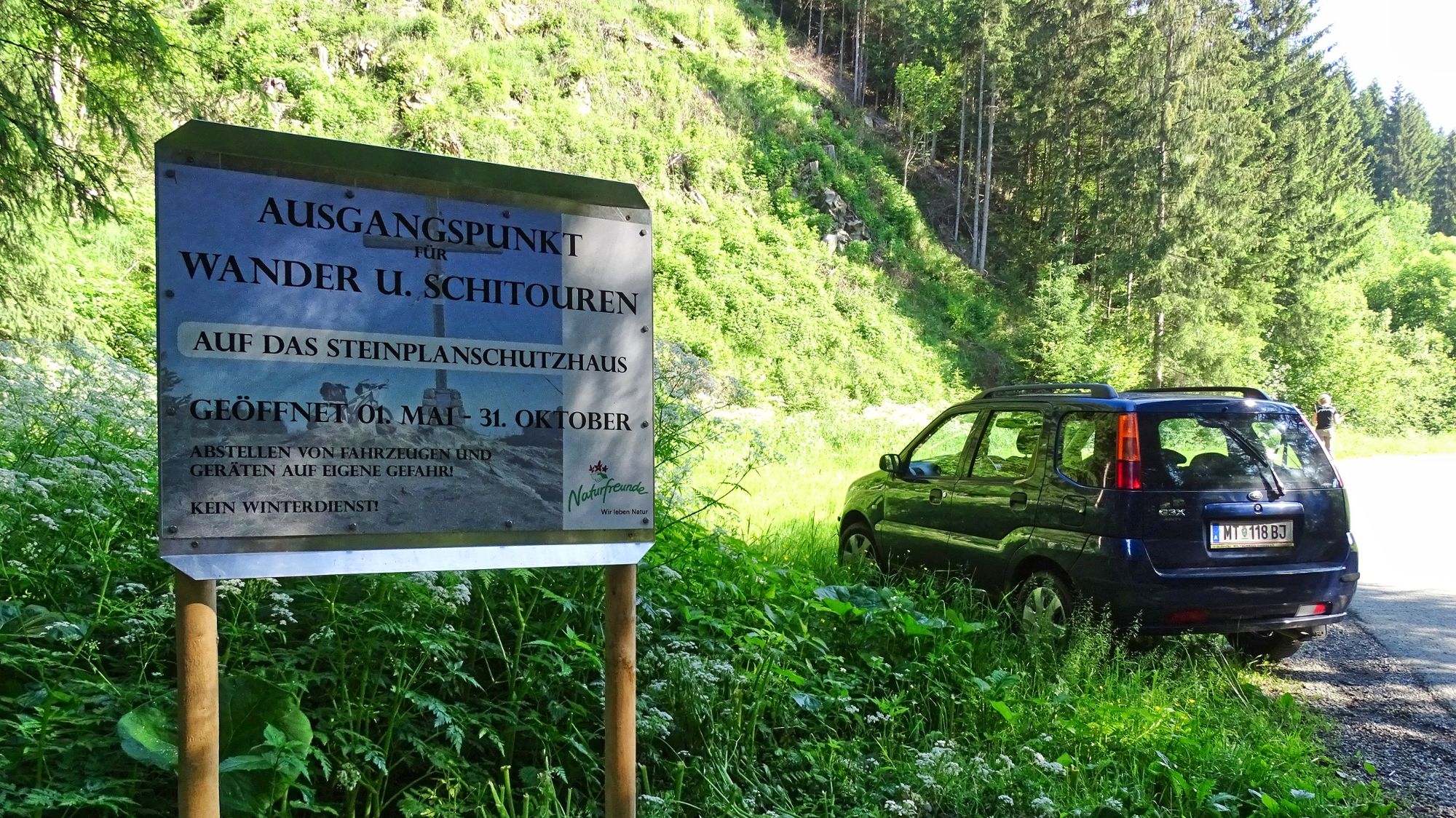
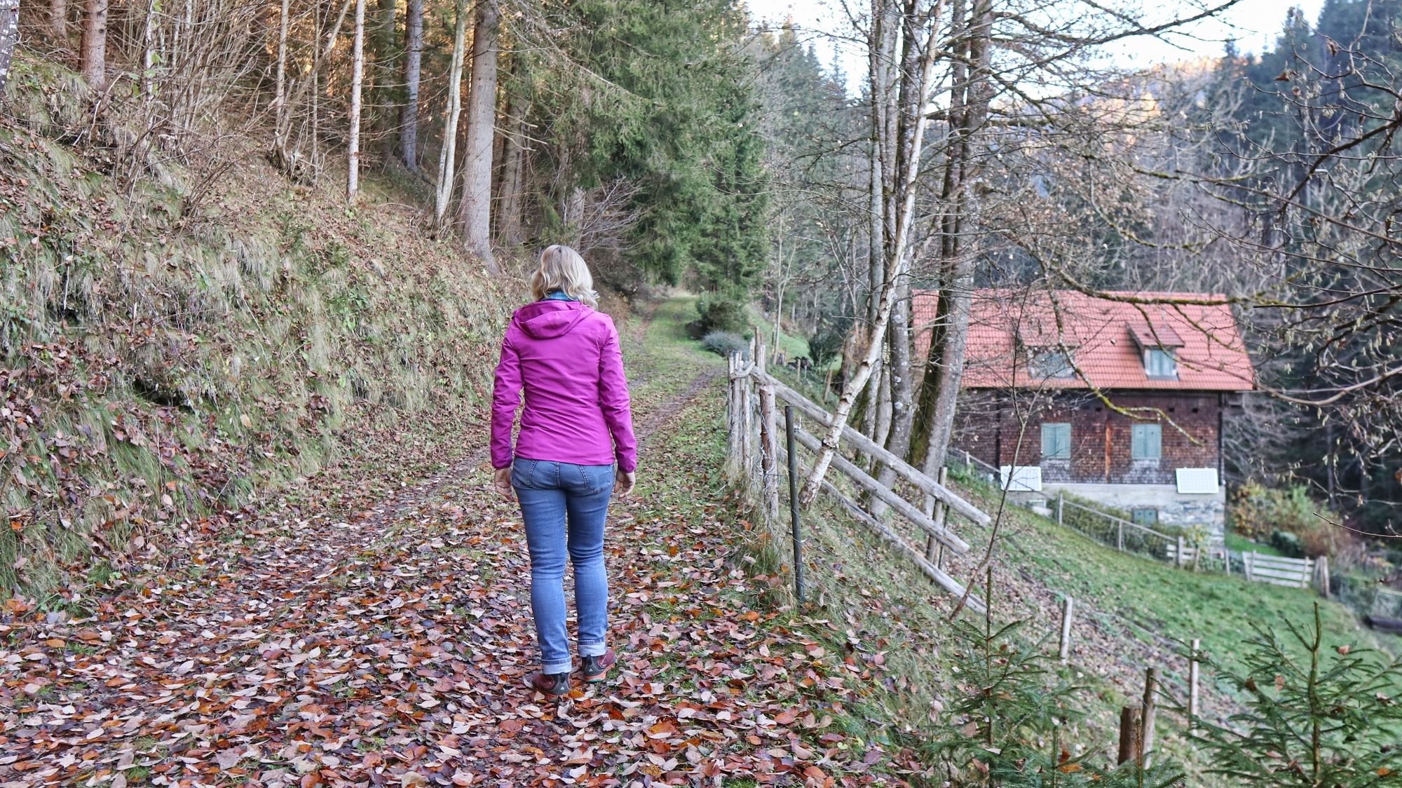
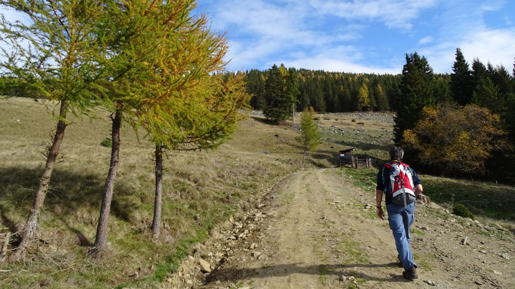
A hike for the whole year - summer, winter, ALWAYS! An attractive hike with mountain boots and a very special experience with snowshoes!
- Difficoltà
-
intermedio
- Valutazione
-
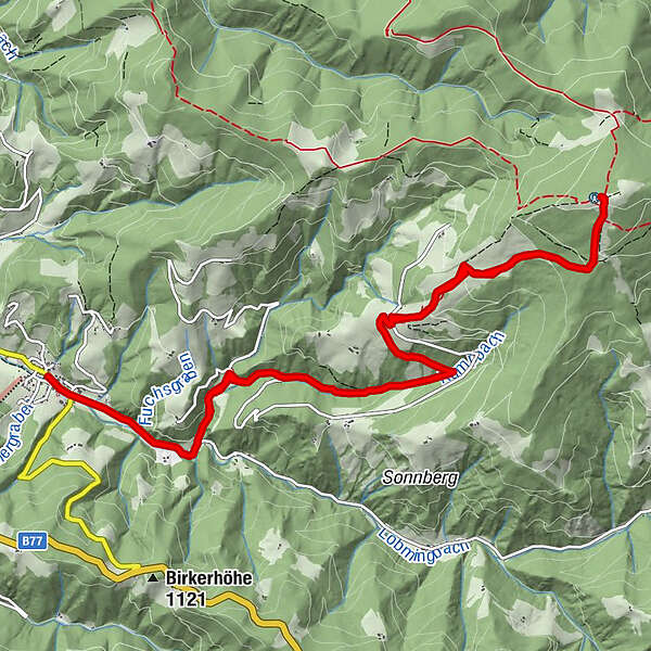
- Percorso
-
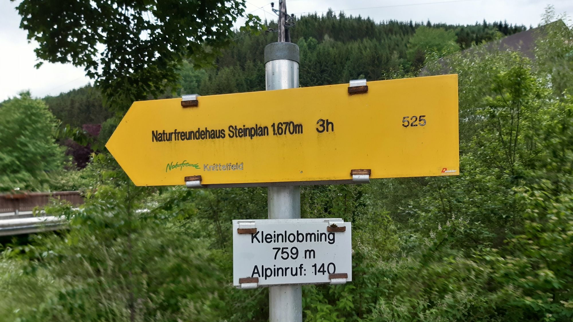
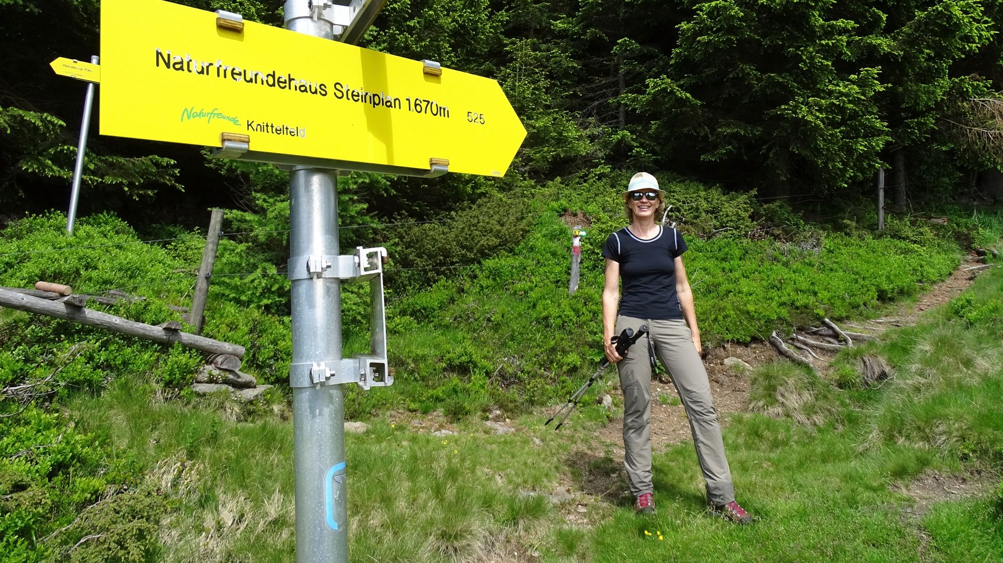
KleinlobmingSteinplan (1.670 m)7,7 kmKleinlobming15,3 km
- La stagione migliore
-
genfebmaraprmaggiulugagosetottnovdic
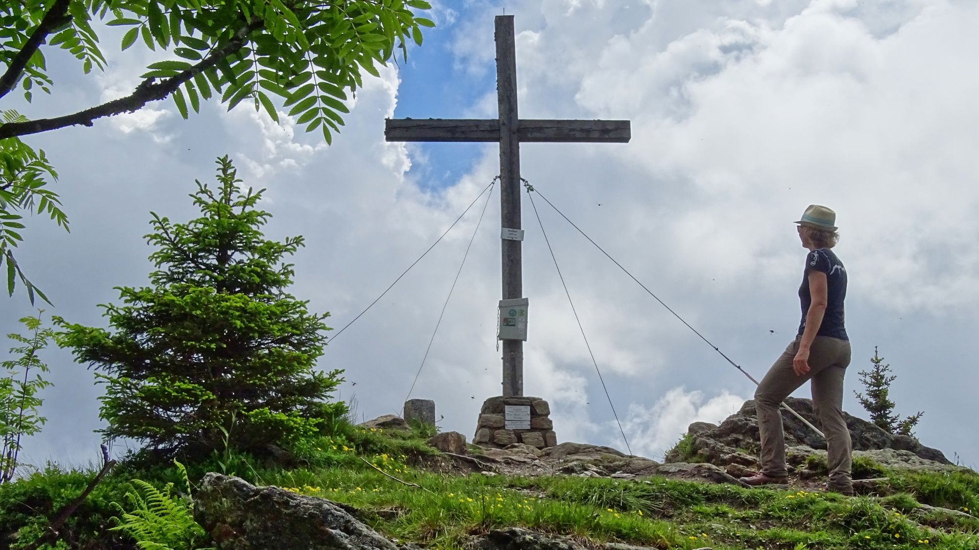
- Punto più alto
- 1.659 m
- Destinazione
-
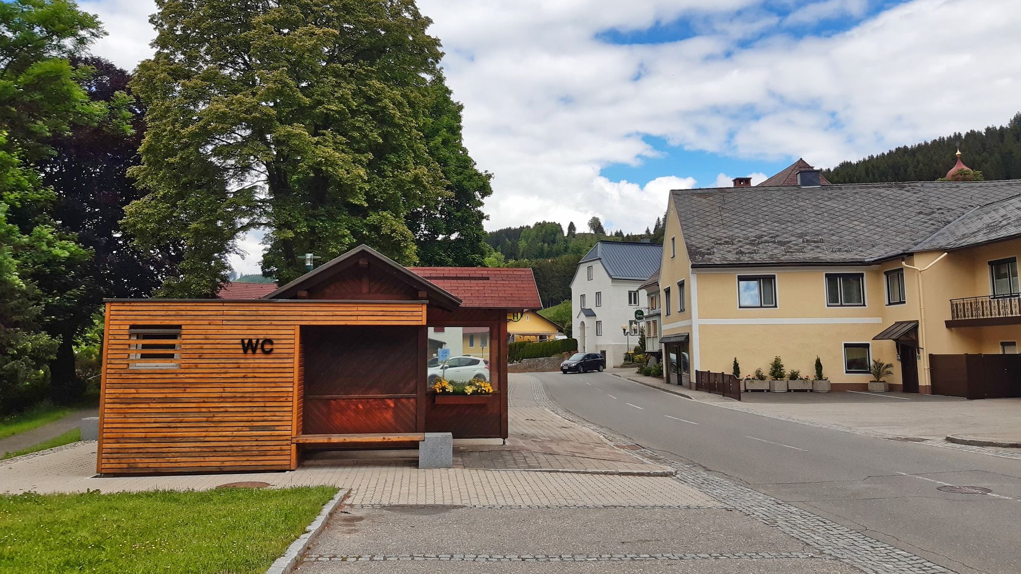
Kleinlobming
- Profilo altimetrico
-


- Autore
-
Il tour Steinplan via Oberkamper è utilizzato da outdooractive.com fornito.
GPS Downloads


Info generali
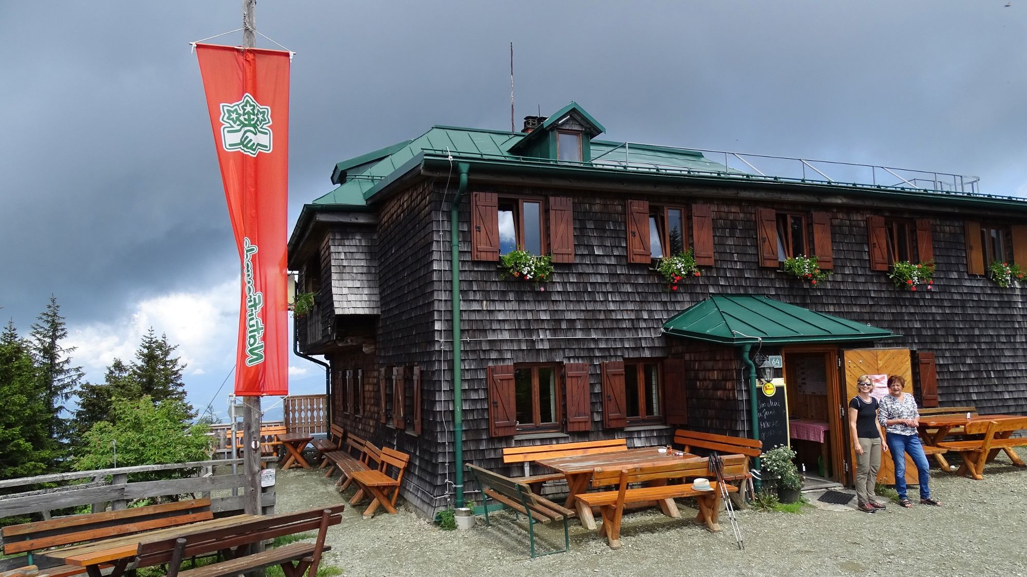
Punto di ristoro
Promettente
Altri tour nelle regioni
-
Erlebnisregion Murtal
1783
-
Steirisches Zirbenland
711
-
Salzstiegl
195