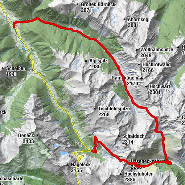
Erzherzog Johann Hütte - (Hochstubofen 2.385m) - Neunkirchner Hütte / Eselsberger Alm - Seifriedalm - Breitlahnalm - Mößna

Escursionismo
© Fotograf: Volkhard Maier
© Fotograf: Herfried Marek


© Fotograf: Volkhard Maier
© Fotograf: Volkhard Maier

© Fotograf: Volkhard Maier

© Fotograf: Volkhard Maier
- Descrizione rapida
-
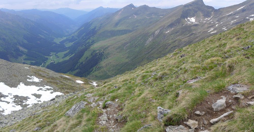
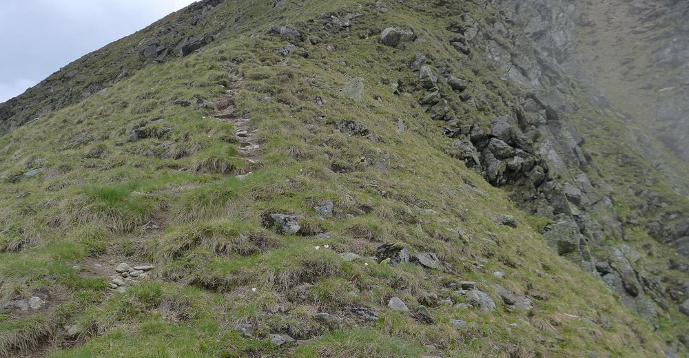
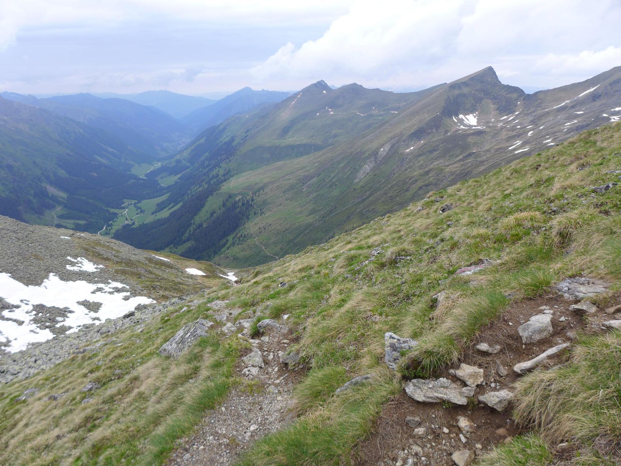
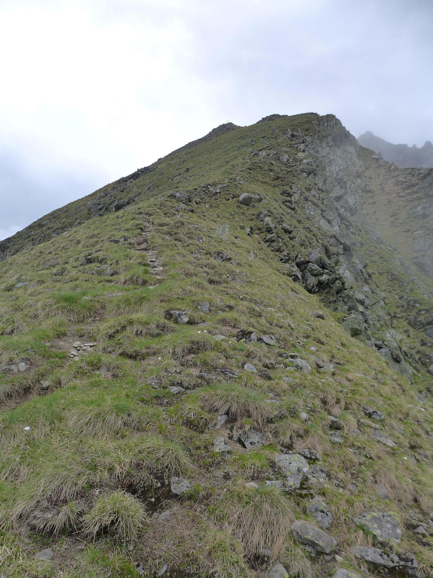
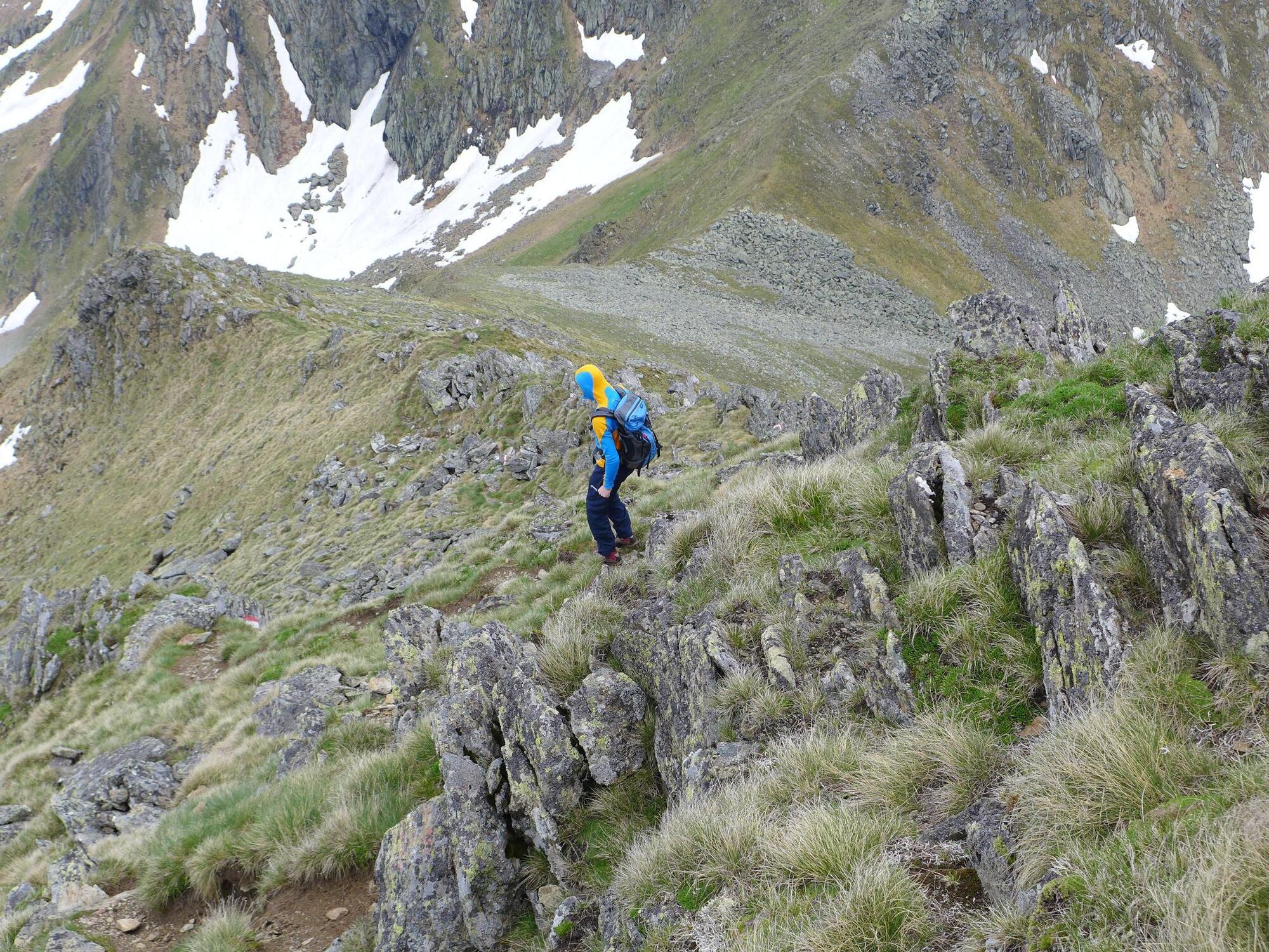
A lonely and panoramic crossing that demands stamina, with worthwhile summit variants and recommended overnight stay in a mountain hut or alpine pasture.
- Difficoltà
-
difficile
- Valutazione
-
- Percorso
-
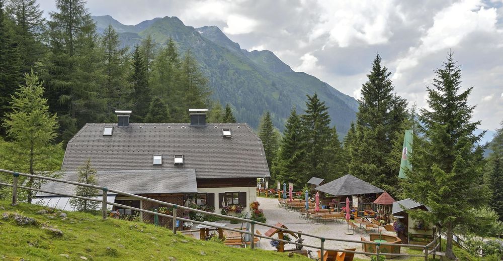
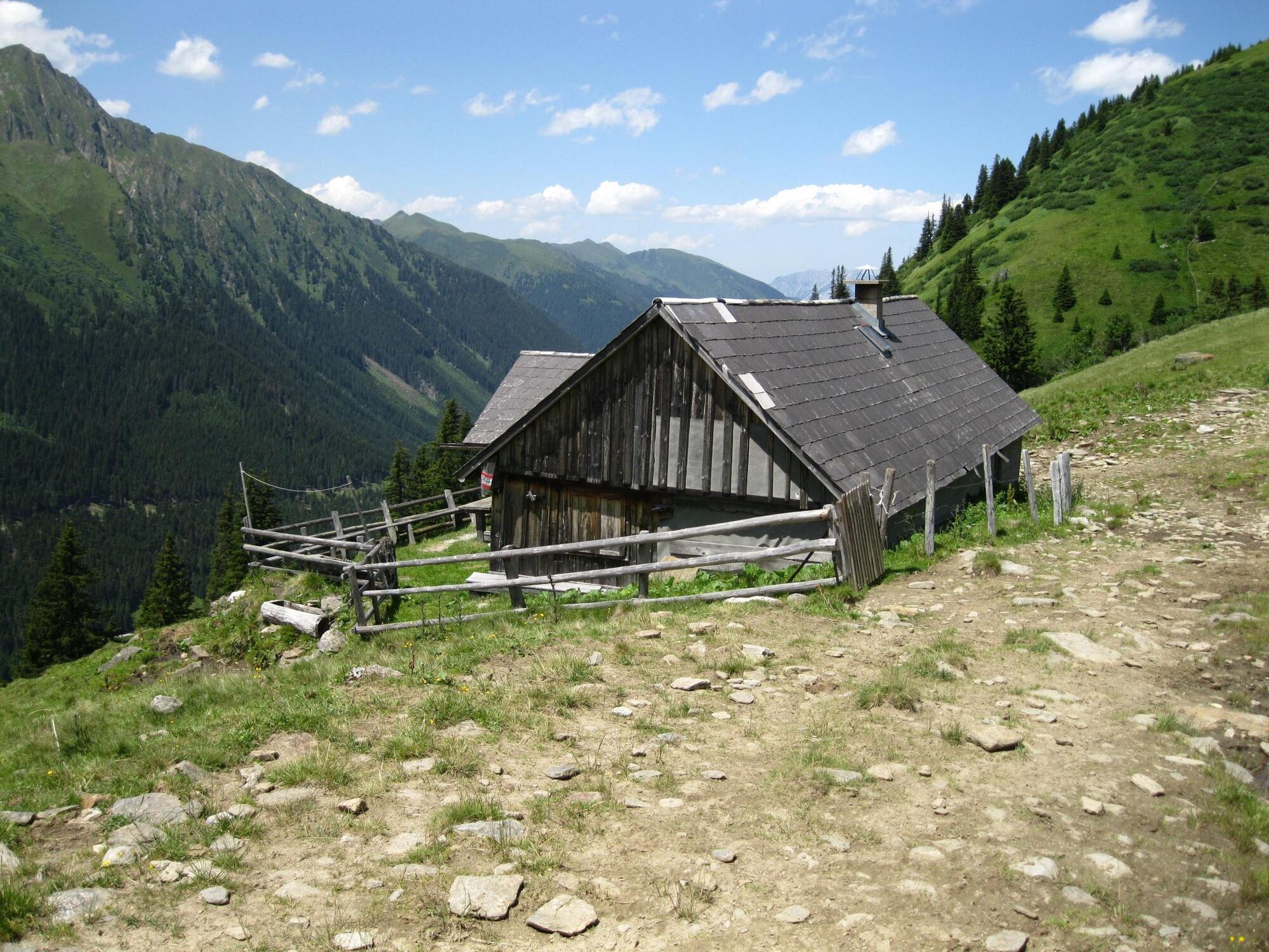
Erzherzog-Johann-Hütte0,0 kmHaseneckscharte (2.205 m)4,1 kmNeunkirchner Hütte8,1 kmHölzerhütte8,2 kmEselsbachfall8,6 kmSeifriedsenke (2.150 m)11,3 kmBreitlahnalm18,5 kmMößna22,6 km
- La stagione migliore
-
genfebmaraprmaggiulugagosetottnovdic
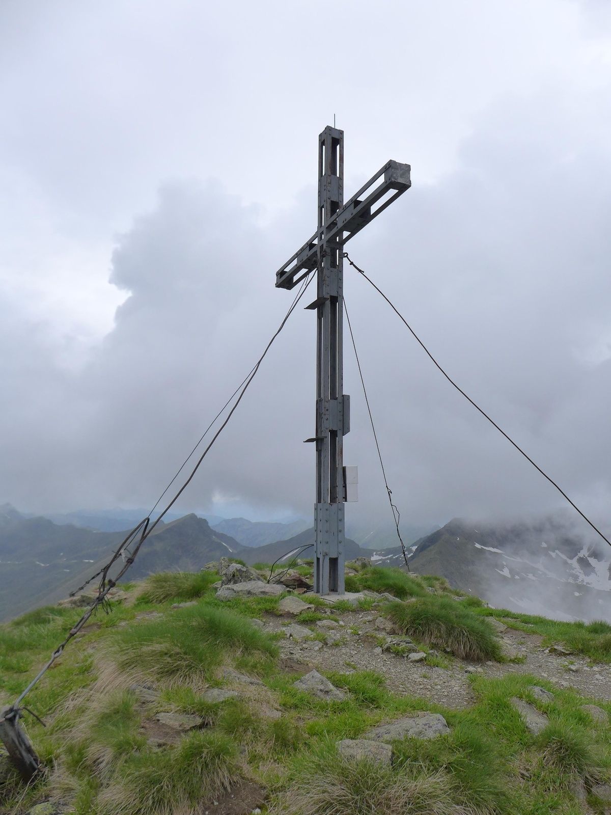
- Punto più alto
- 2.177 m
- Destinazione
-
Mößna in the Grossölktal. The easiest way back is to take the valley bus (see arrival).
- Profilo altimetrico
-


- Autore
GPS Downloads


Info generali
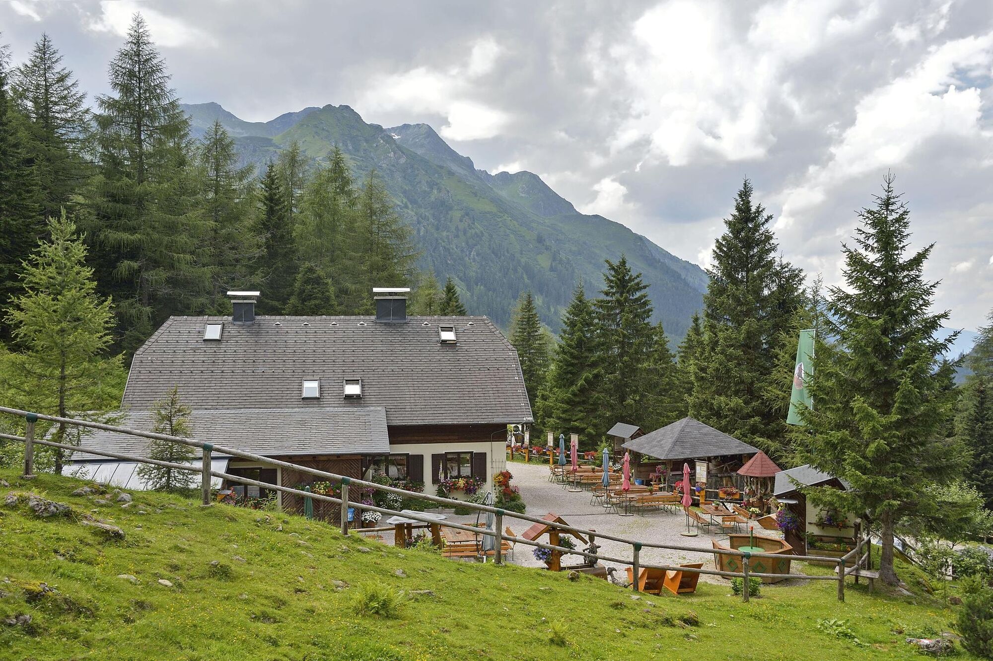
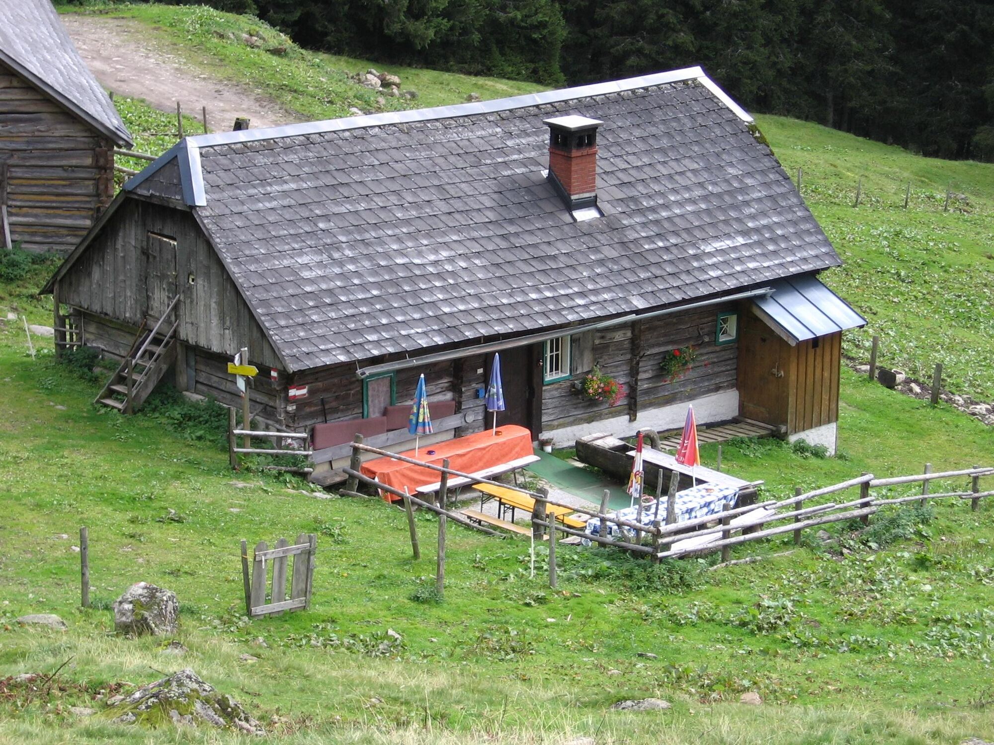
Punto di ristoro
Flora
Fauna
Promettente
Altri tour nelle regioni


