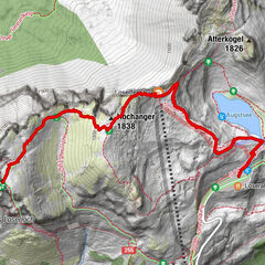
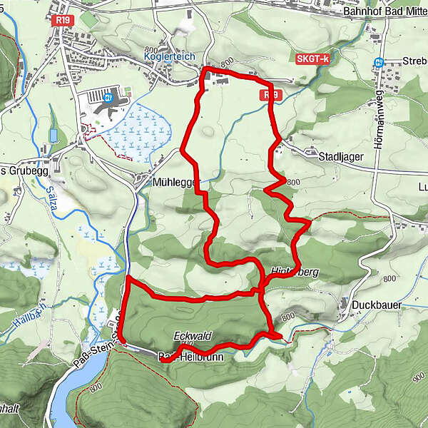
Therme Neuhofen Rundweg, Bad Mitterndorf, Österreich

Escursionismo


Dati percorsi
6,47km
753
- 826m
101hm
131hm
01:25h
- Descrizione rapida
-
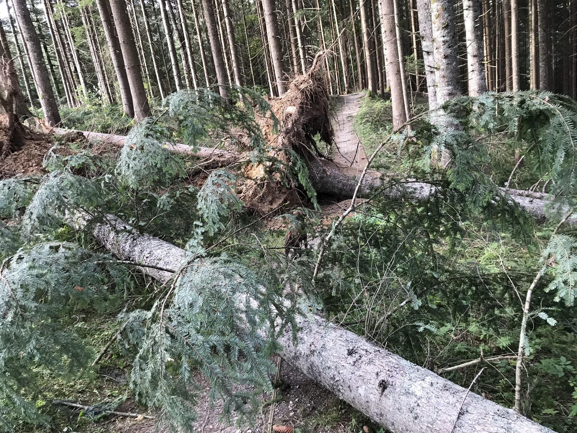
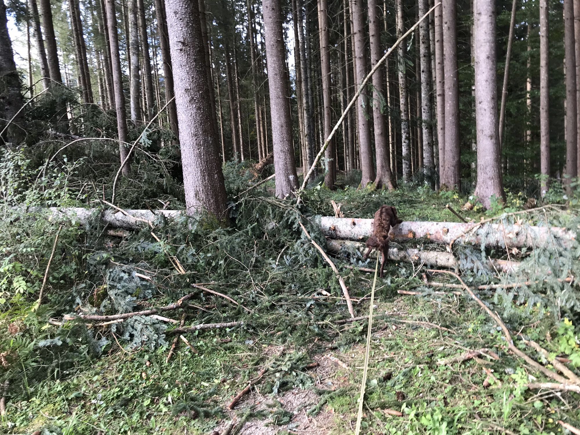
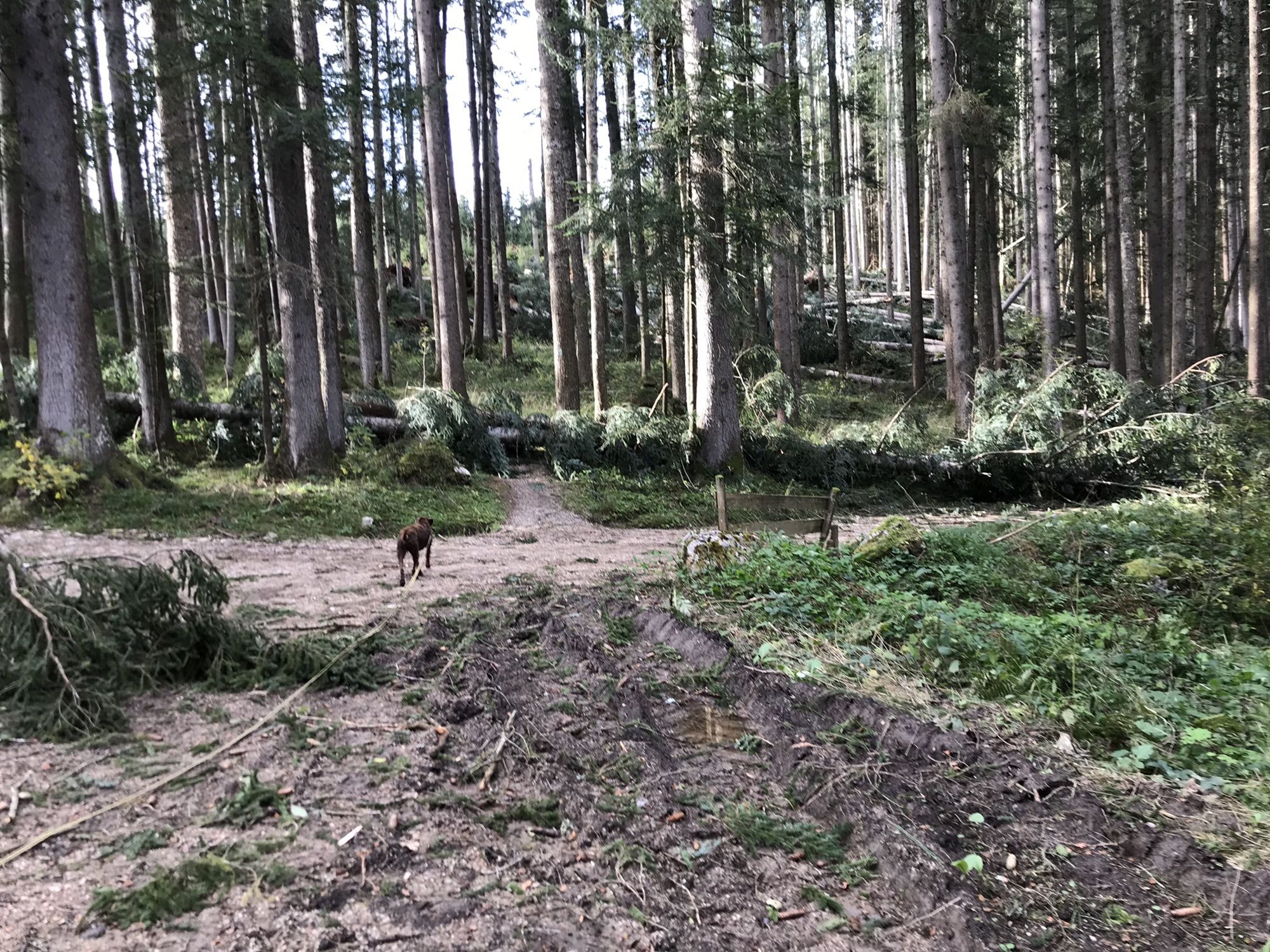
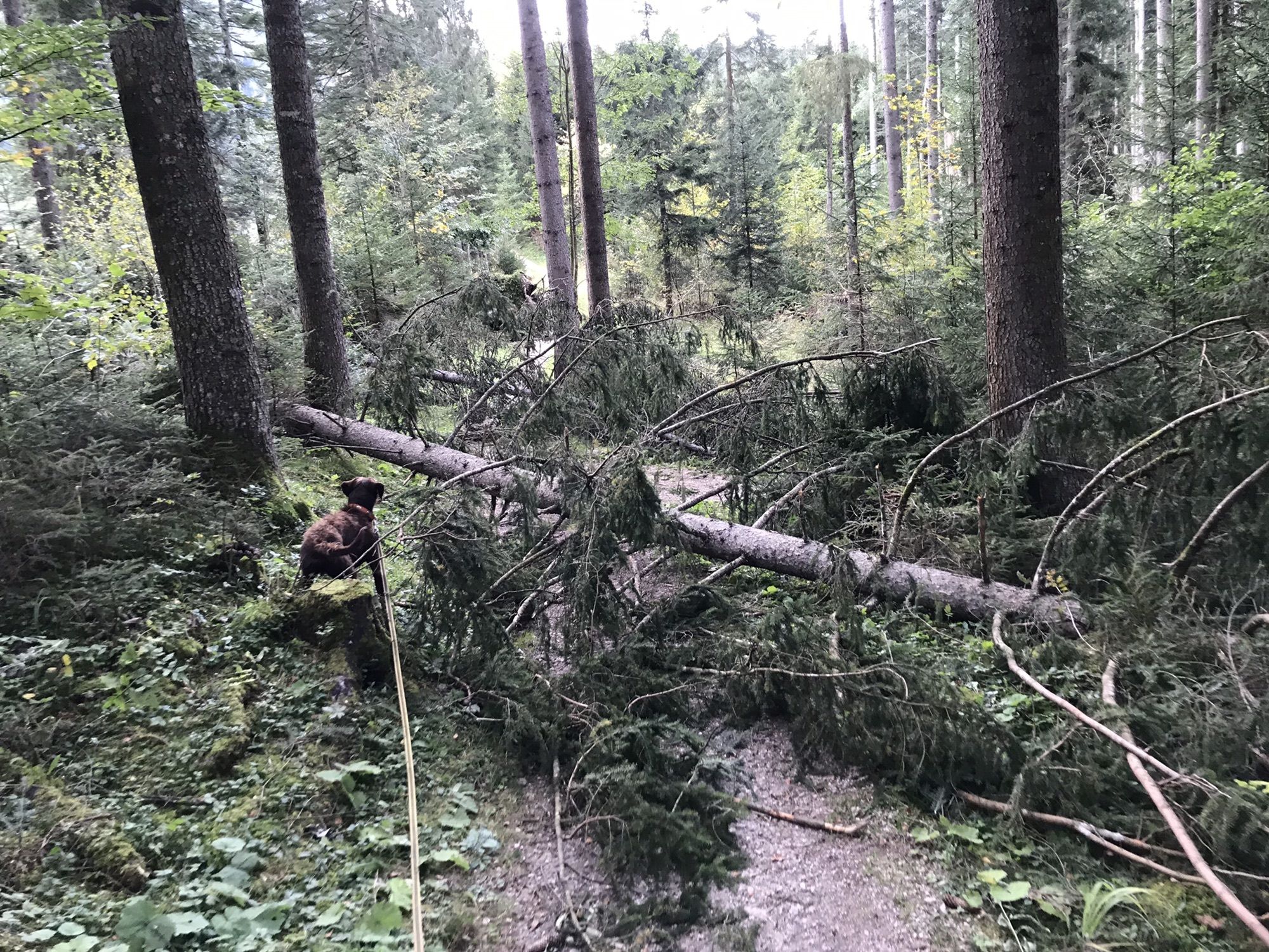
Fönsturm am 4. Okt 2020 richtete massive Schäden an und macht die eigentlich gemütliche Wanderung zu einem Hindernisparcours
- Difficoltà
-
intermedio
- Valutazione
-
- Punto più alto
- 826 m
GPS Downloads


Altri tour nelle regioni
-
Ausseerland - Salzkammergut
3382
-
Gröbminger Land
1190
-
Bad Mitterndorf
290