

© Gerhard Pilz - www.gpic.at - Gerhard Pilz

© Gerhard Pilz - www.gpic.at - Gerhard Pilz

© Gerhard Pilz - www.gpic.at - Gerhard Pilz

© Gerhard Pilz - www.gpic.at - Gerhard Pilz

© Erlebnisregion Schladming-Dachstein - Tourismusverband Schladming-Dachstein

© Gerhard Pilz - www.gpic.at - Gerhard Pilz

© Erlebnisregion Schladming-Dachstein - Tourismusverband Schladming-Dachstein

- Descrizione rapida
-
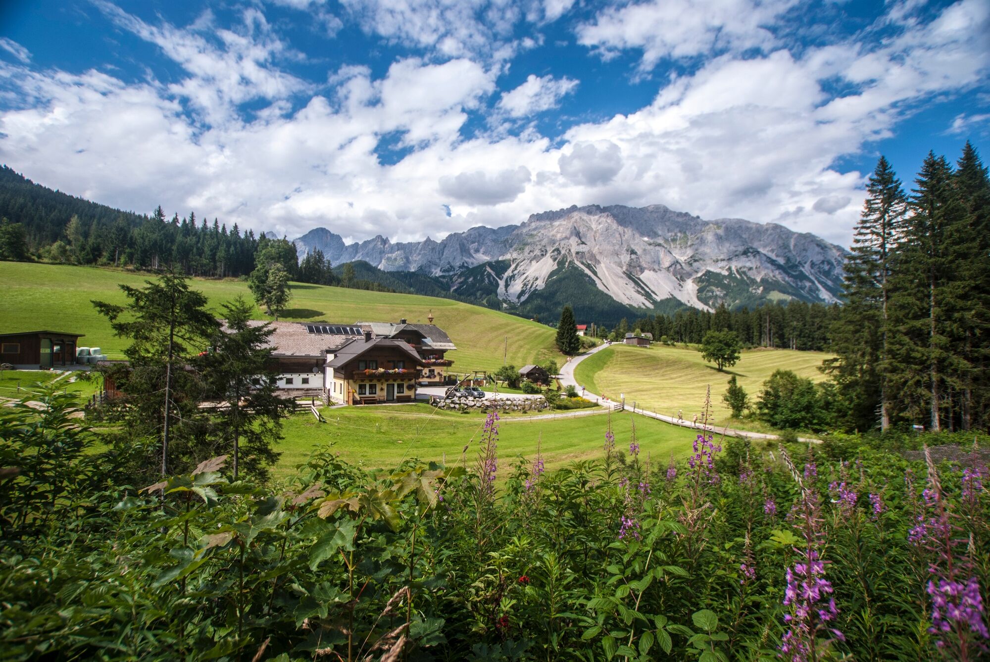
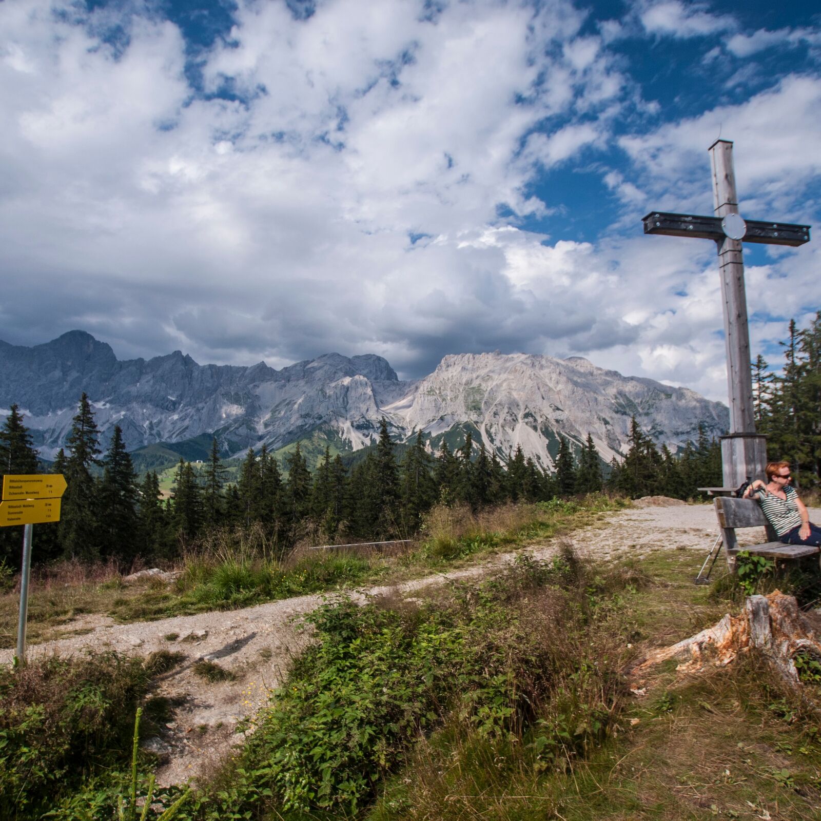
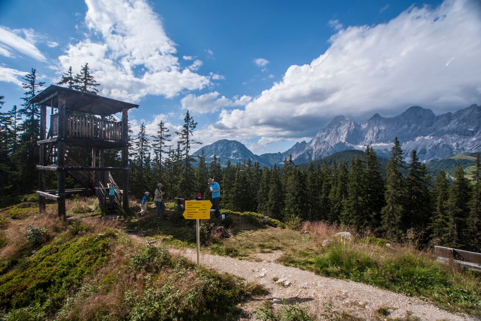
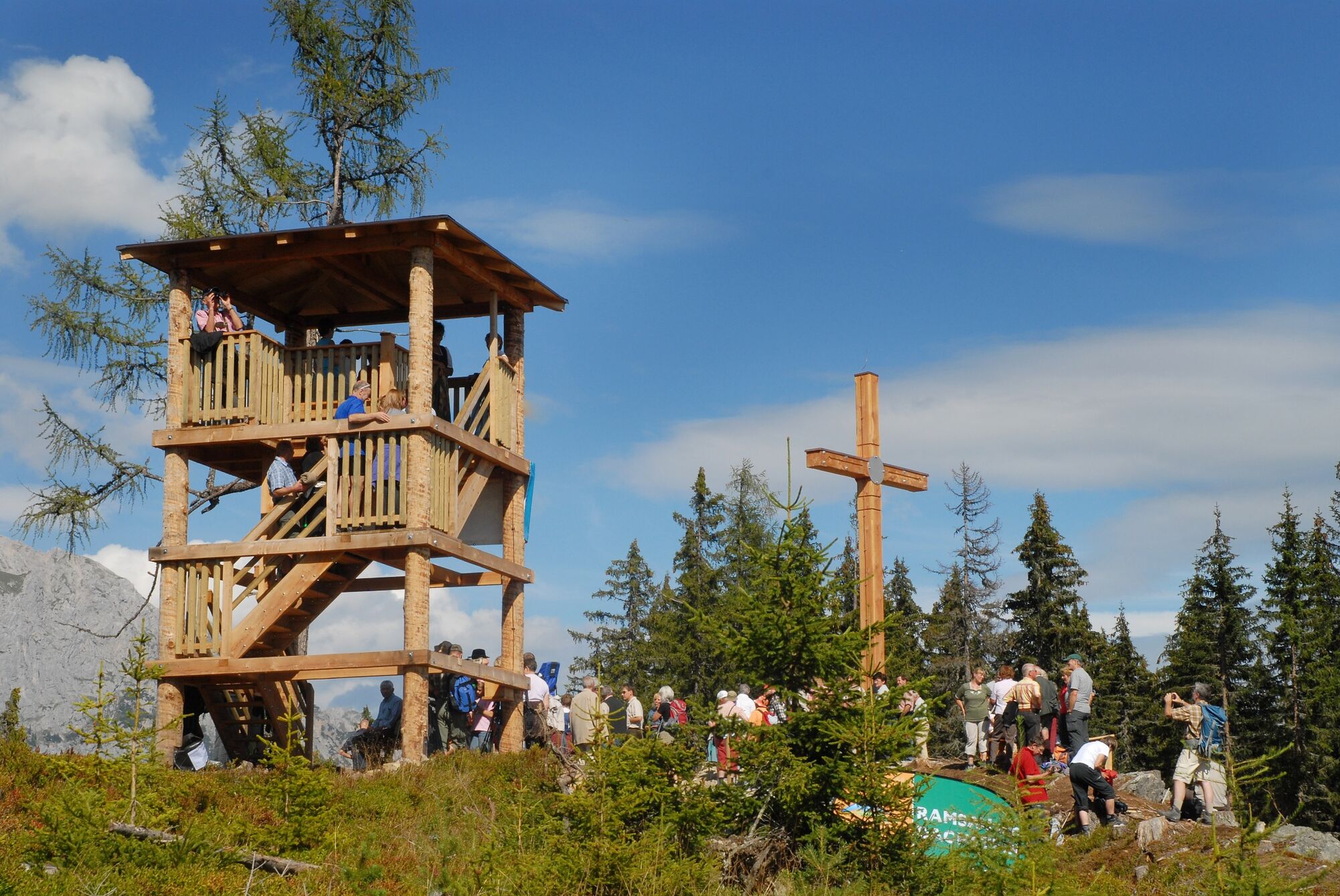
A beautiful round to the summit of Rittisberg, from which the magnificent panorama of the Dachstein south walls and into the Schladminger Tauern can be enjoyed particularly well.
- Difficoltà
-
facile
- Valutazione
-
- Percorso
-
Glutserberg (1.495 m)0,0 kmRittisberg (1.562 m)1,1 kmRittisberg (1.565 m)2,0 kmGlutserberg (1.495 m)5,0 kmRittisstadl5,1 km
- La stagione migliore
-
genfebmaraprmaggiulugagosetottnovdic
- Punto più alto
- 1.552 m
- Destinazione
-
Mountain station Rittisbergbahn
- Profilo altimetrico
-


-

-
AutoreIl tour Rittispanorama trail è utilizzato da outdooractive.com fornito.
GPS Downloads


Info generali
Punto di ristoro
Promettente
Altri tour nelle regioni
-
Schladming - Dachstein
3001
-
Ramsau am Dachstein
1689
-
Pichl
523


