Antenne river landscape-settlement area (Antenne Flusslandschaft-Siedlungsgebiet)

Escursionismo

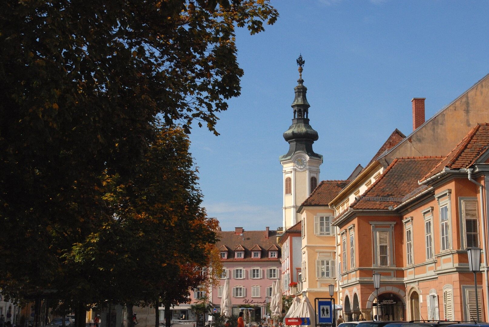
© Erlebnisregion Thermen- & Vulkanland - Sylvia Ramminger

- Descrizione rapida
-
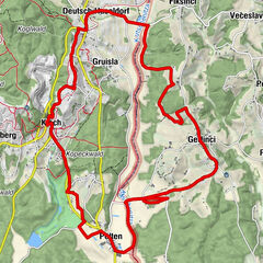
Route through the settlement area - 6 km
This one starts at the thermal spring building and includes 4 stops. The walking time is about 1 3/4 hours. - Difficoltà
-
facile
- Valutazione
-
- Percorso
-
Prentlkreuz1,1 kmAltdörfl1,6 kmChristuskirche Bad Radkersburg4,8 kmStadtpfarrkirche Bad Radkersburg5,2 kmBad Radkersburg5,4 km
- La stagione migliore
-
genfebmaraprmaggiulugagosetottnovdic
- Punto più alto
- 213 m
- Destinazione
-
Thermal spring building
- Profilo altimetrico
-

- Autore
-
Il tour Antenne river landscape-settlement area (Antenne Flusslandschaft-Siedlungsgebiet) è utilizzato da outdooractive.com fornito.
GPS Downloads


Info generali
Punto di ristoro
Suggerimento
Flora
Promettente
Altri tour nelle regioni
-
Südsteiermark
1135
-
Region Bad Radkersburg
217
-
Bad Radkersburg
30