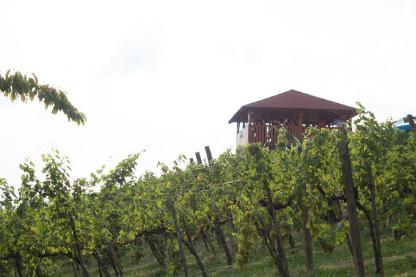
Antenne river landscape-around the river mur (Antenne Flusslandschaft-Murauen)

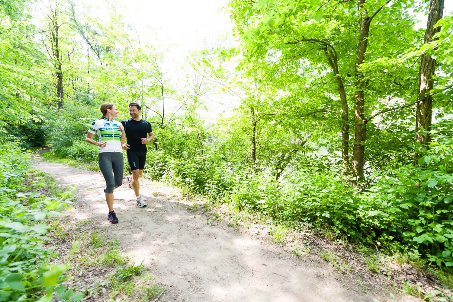
Escursionismo

© Erlebnisregion Thermen- & Vulkanland - pixelmaker.at
- Descrizione rapida
-
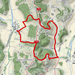
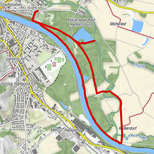
Experience the Radkersburger Murauen on a route of 6.9 km and a walking time of 2.5 h.
- Difficoltà
-
facile
- Valutazione
-
- Percorso
-
Oberradkersburg0,1 kmBad Radkersburg6,4 kmOberradkersburg6,7 km
- La stagione migliore
-
genfebmaraprmaggiulugagosetottnovdic
- Punto più alto
- 215 m
- Destinazione
-
Thermal spring building
- Profilo altimetrico
-

- Autore
-
Il tour Antenne river landscape-around the river mur (Antenne Flusslandschaft-Murauen) è utilizzato da outdooractive.com fornito.
GPS Downloads


Info generali
Punto di ristoro
Suggerimento
Flora
Promettente
Altri tour nelle regioni
-
Südsteiermark
1135
-
Region Bad Radkersburg
217
-
Gornja Radgona
24