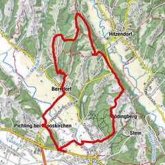
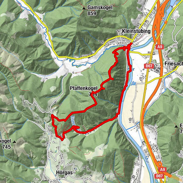
Dati percorsi
10,64km
385
- 709m
343hm
04:00h
- Descrizione rapida
-
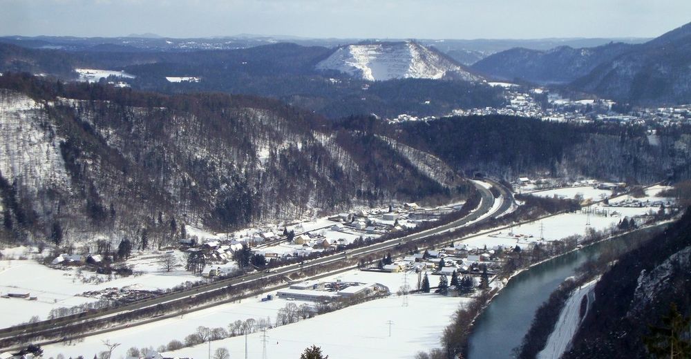
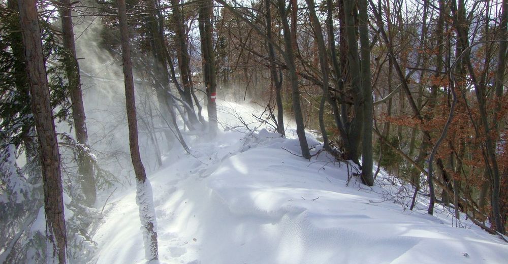
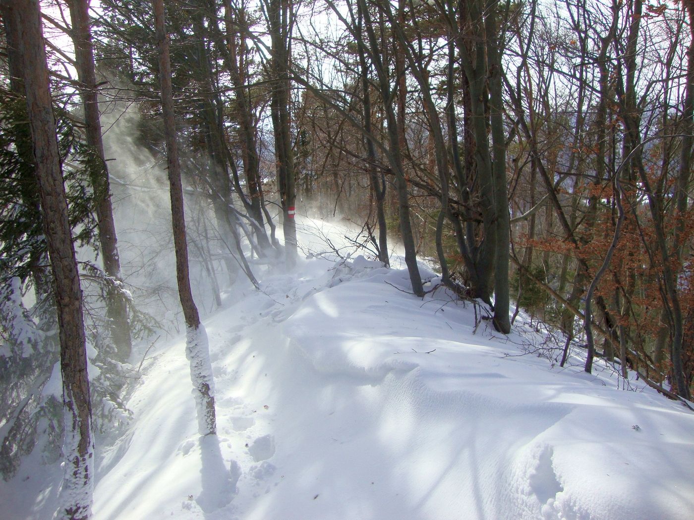
Leichte Wanderung mit etwas Trittsicherheit im Abstieg
- Valutazione
-
- Punto di partenza
-
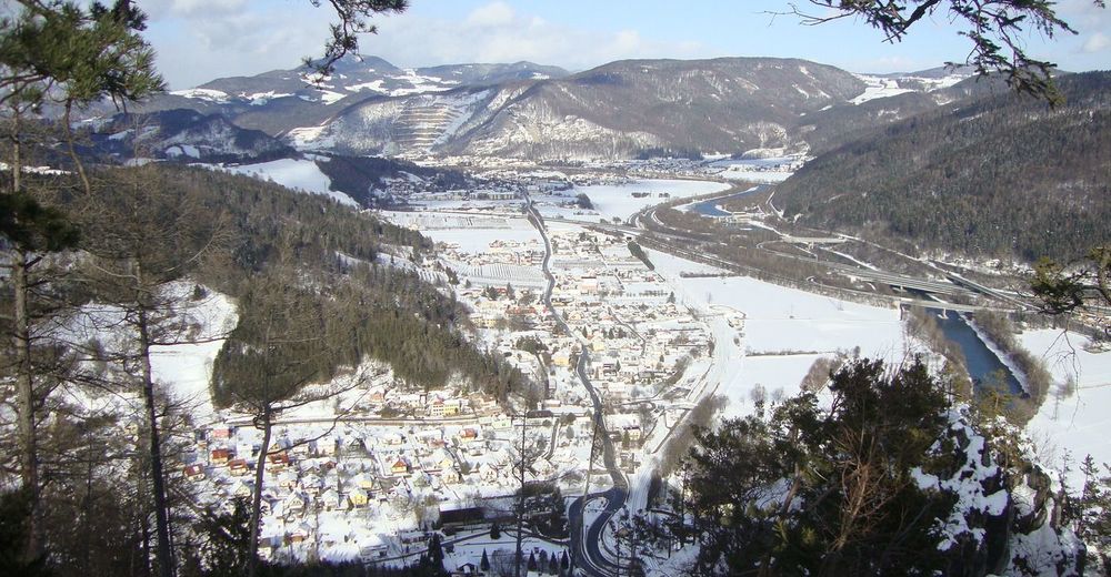
Bhf. Kleinstübing
- Percorso
-
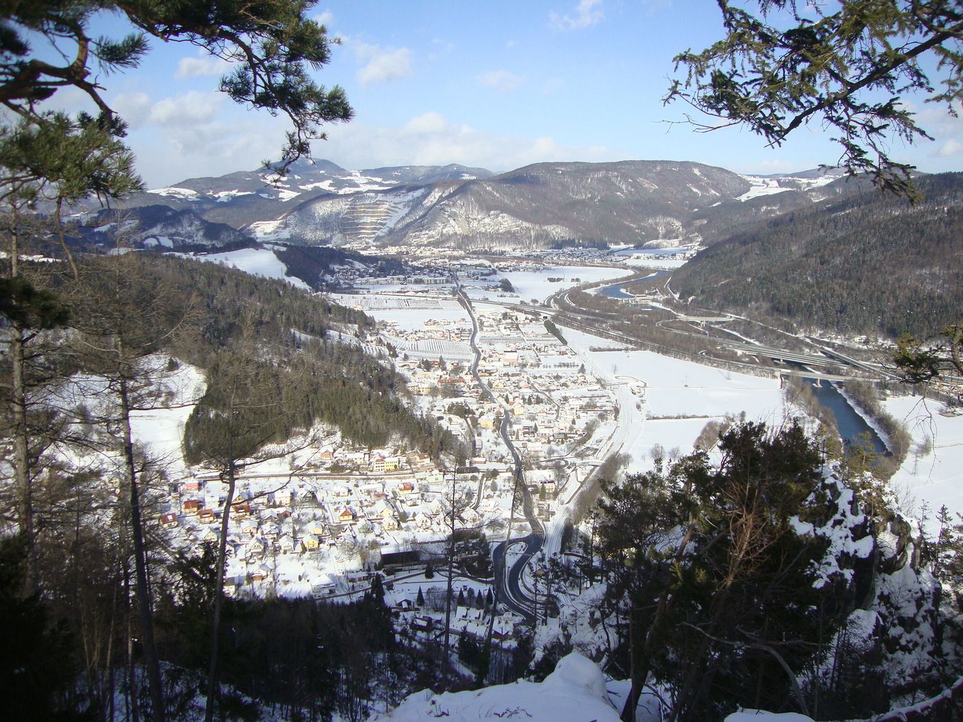
Kleinstübing0,2 kmKapelle, Lassing3,1 kmKapelle Haag3,3 kmPfaffenkogel (734 m)8,1 kmKleinstübing10,6 km
- Punto più alto
- 709 m
- Riposo/Ritiro
-
keine vorhanden
GPS Downloads


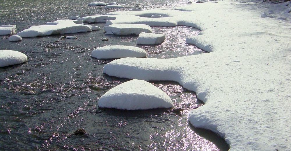
Condizioni dei sentieri
Asfalto
Ghiaia
Prato
Foresta
Roccia
Esposta
Altri tour nelle regioni
-
Erlebnisregion Graz
2783
-
OberGraz
1731
-
Kleinstübing
648