

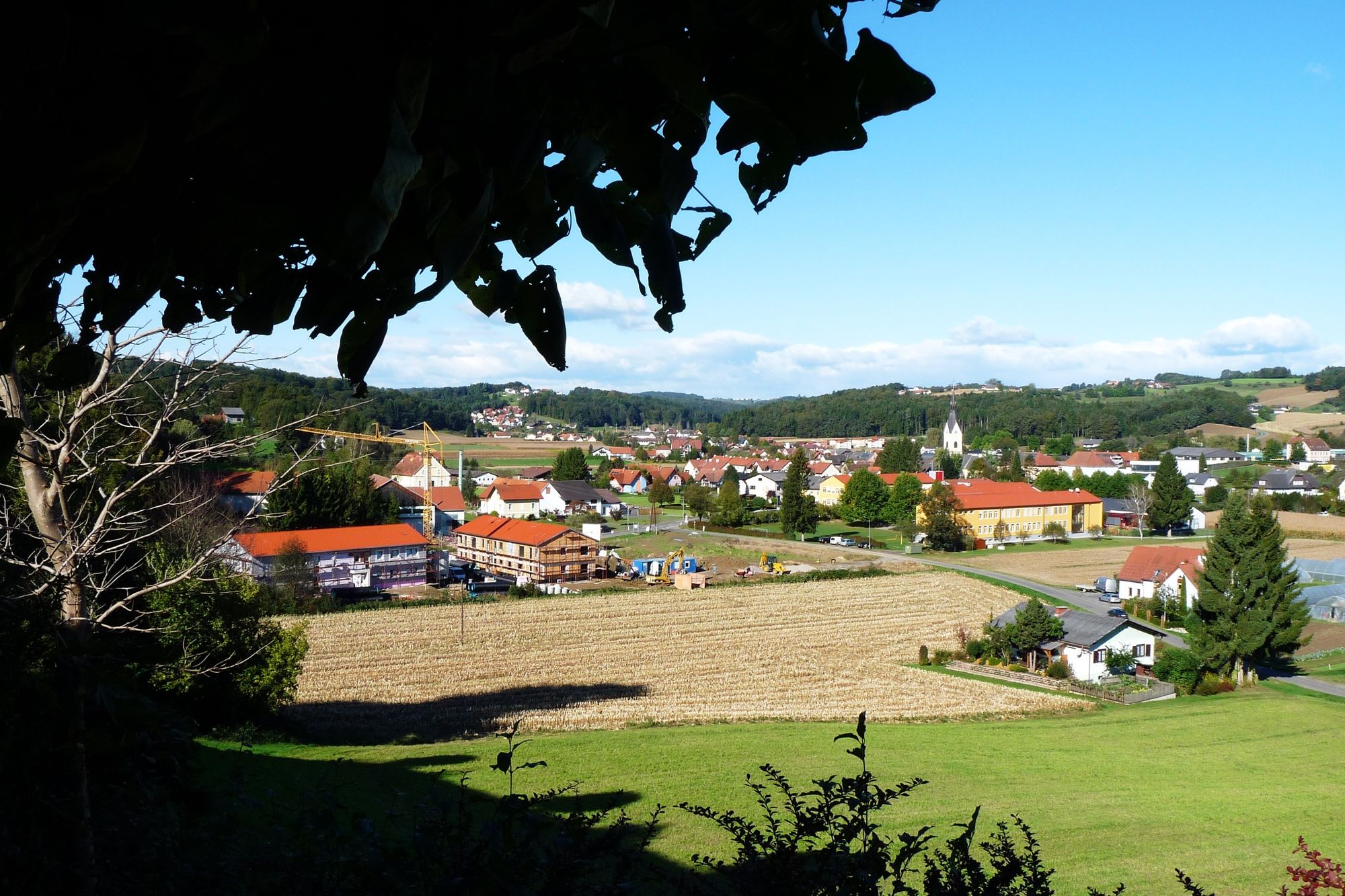
© Gemeinde Paldau - Hannes Gutmann
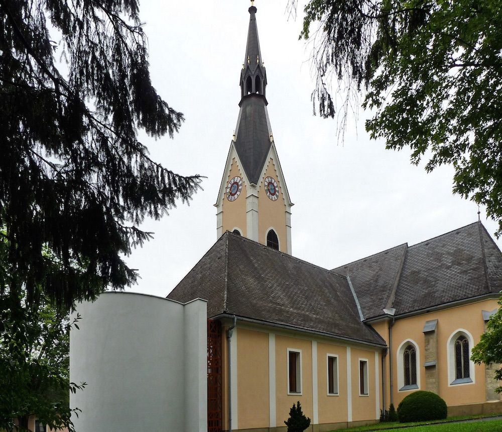
© Pfarrkirche Paldau_(c) Gemeinde Pfarre Paldau

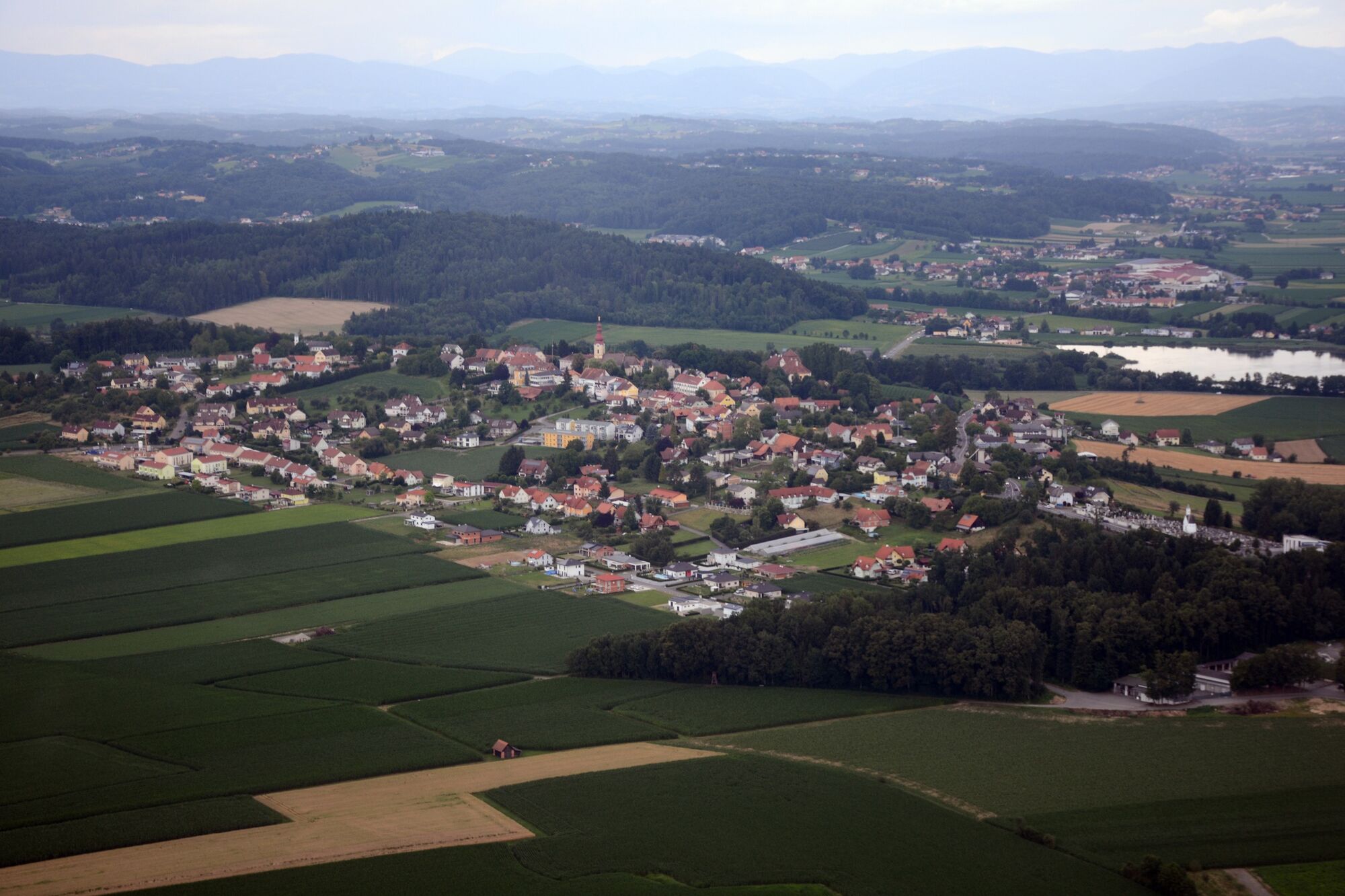
© Gemeinde Kirchberg an der Raab

© Gemeinde Paldau - Hannes Gutmann
© Gemeinde Paldau - Hannes Gutmann

© Gemeinde Paldau - Hannes Gutmann
© Gemeinde Paldau - Hannes Gutmann

© Gemeinde Paldau - Hannes Gutmann
© Gemeinde Paldau - Hannes Gutmann

© Gemeinde Paldau - Hannes Gutmann
- Descrizione rapida
-
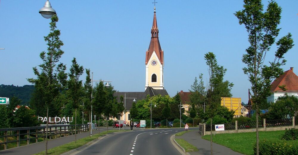
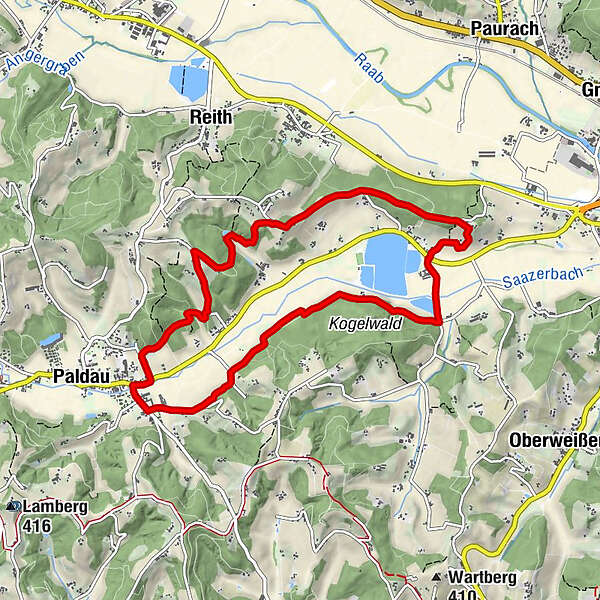
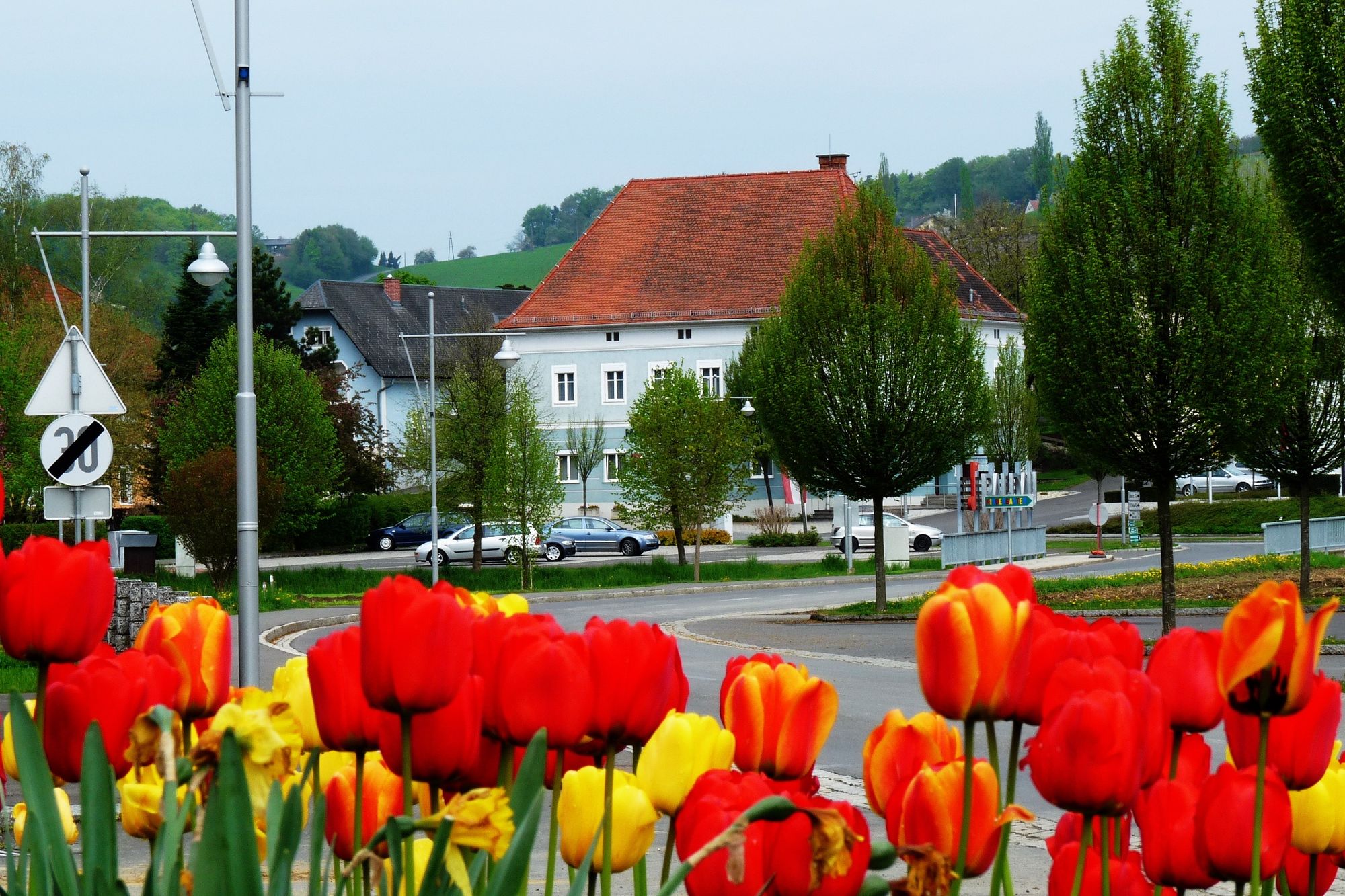
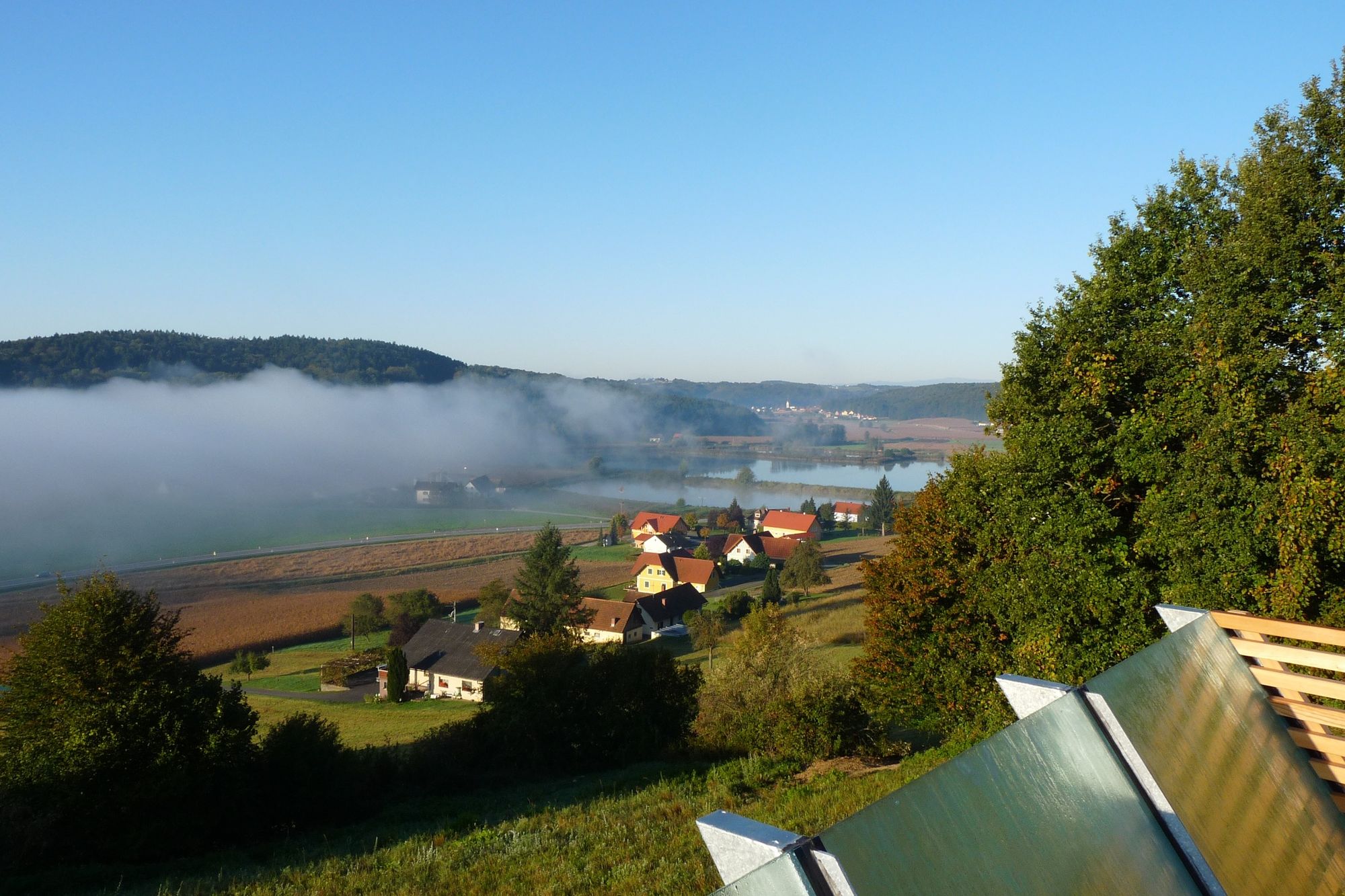
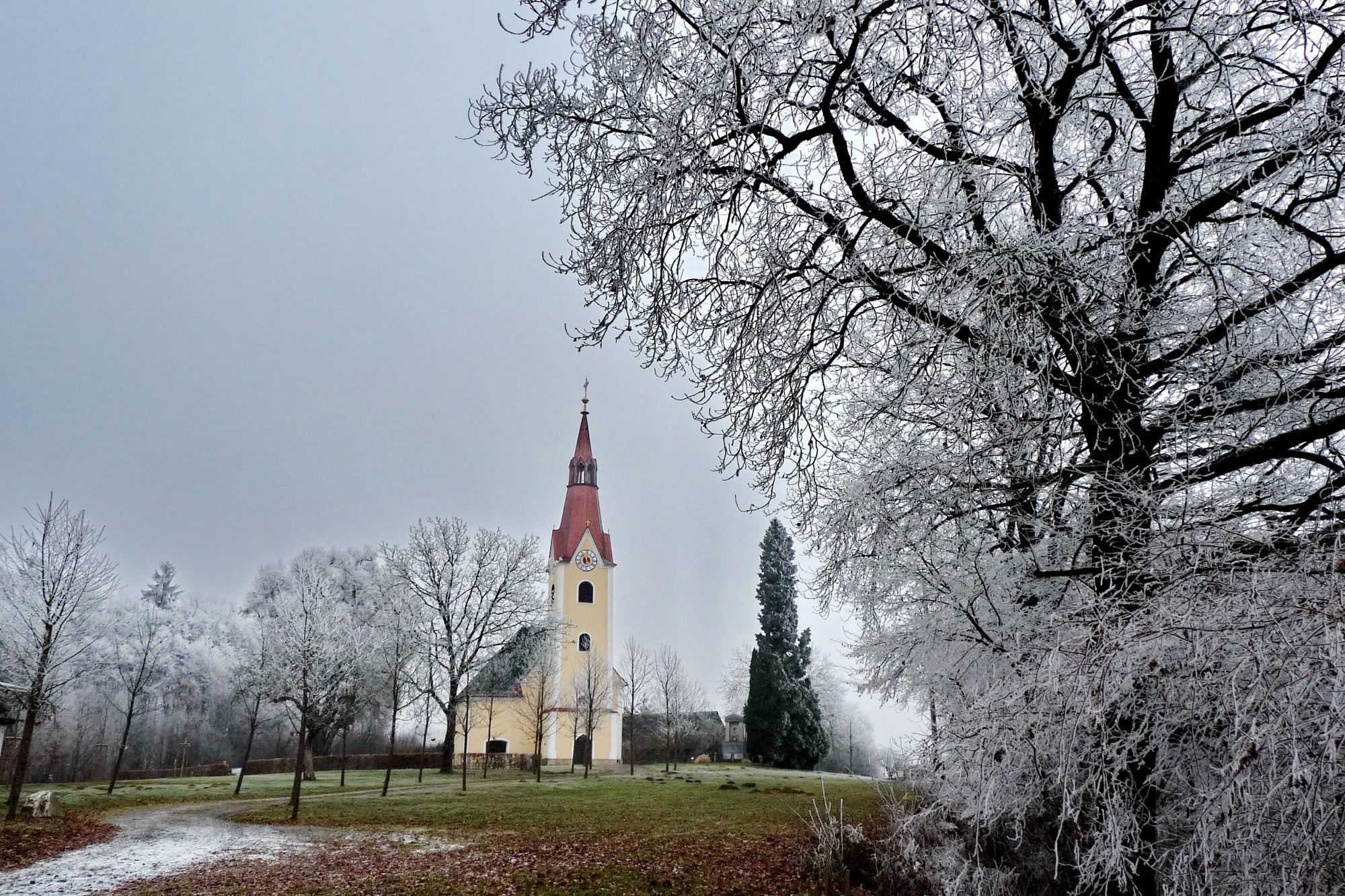
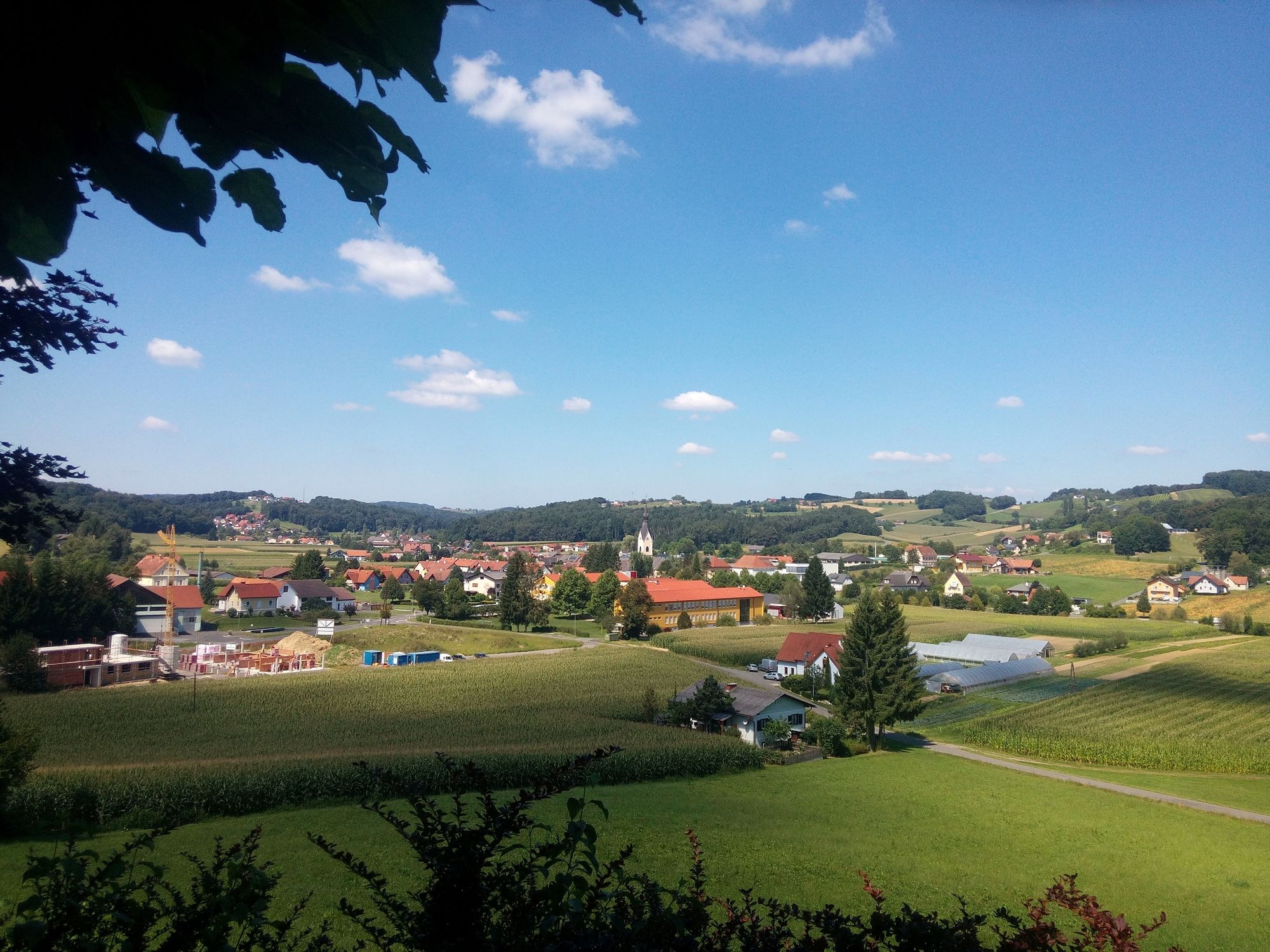
The circular route takes you around the small village of Paldau and its highlights.
- Difficoltà
-
facile
- Valutazione
-
- Percorso
-
PaldauPaldau9,4 km
- La stagione migliore
-
genfebmaraprmaggiulugagosetottnovdic
- Punto più alto
- 377 m
- Destinazione
-
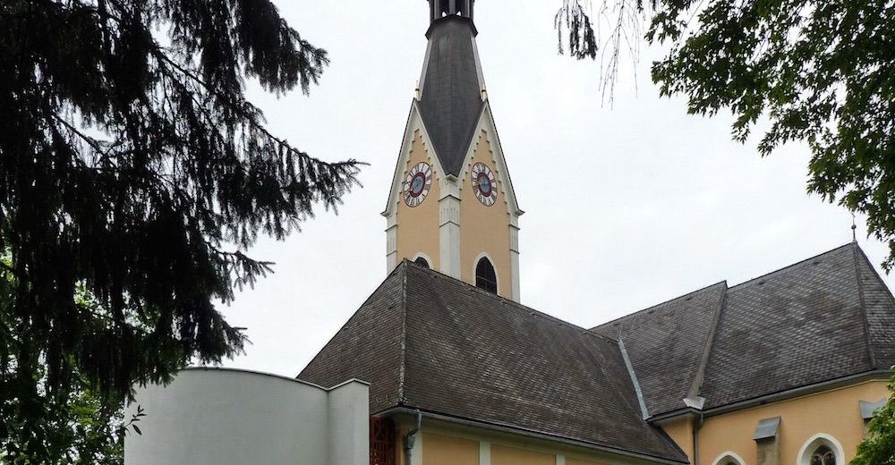
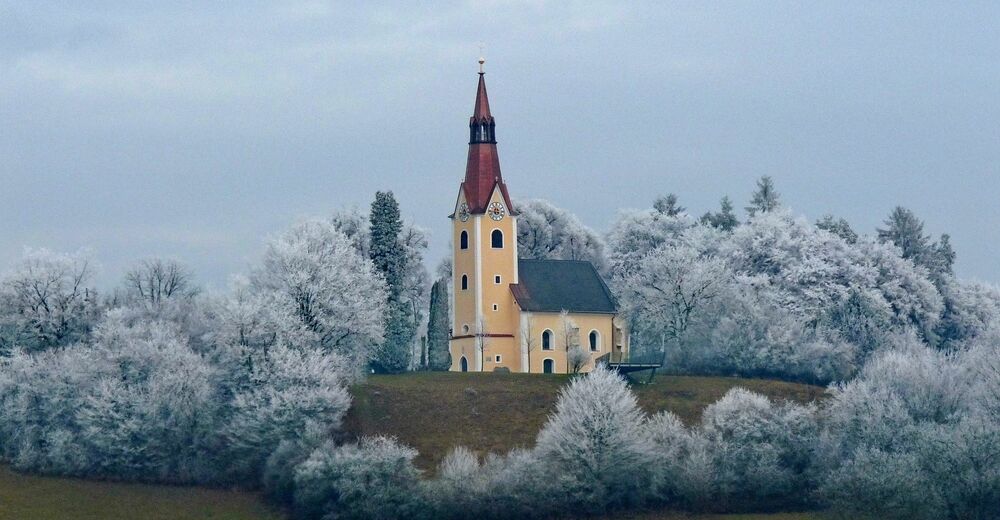
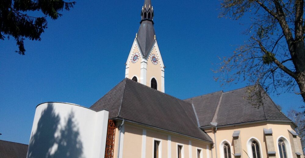
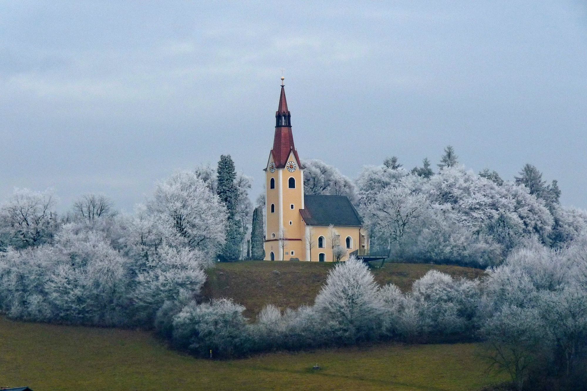
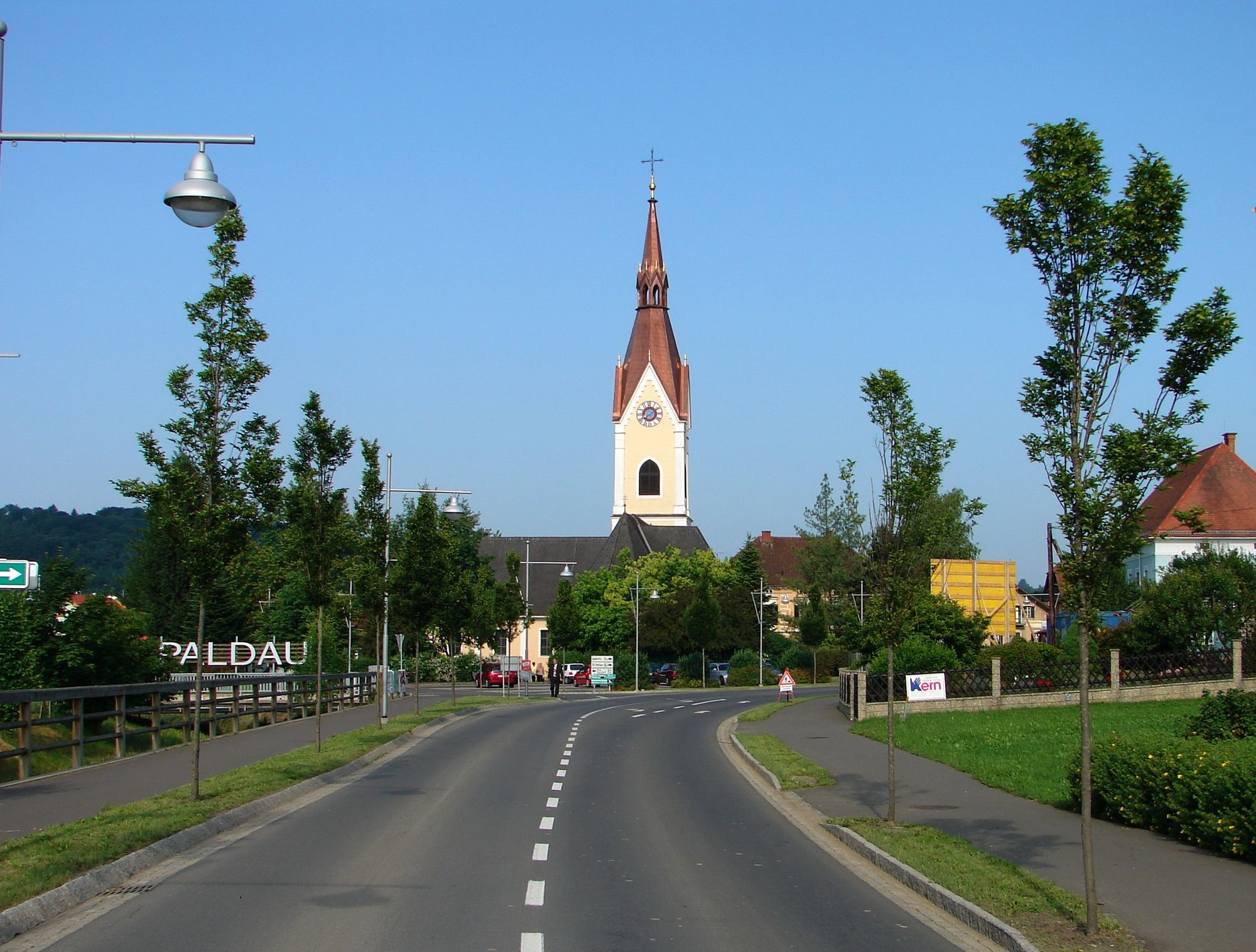
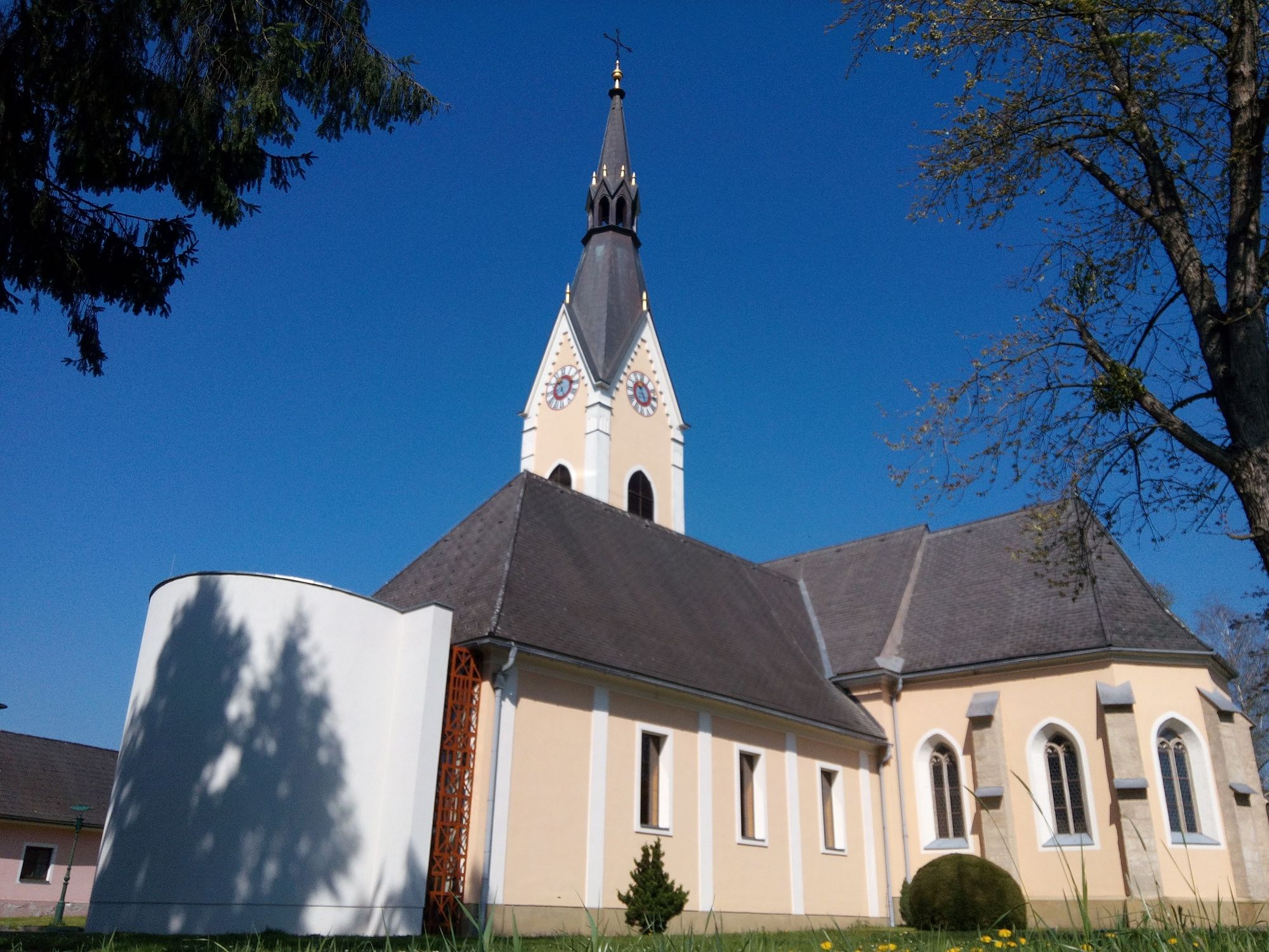
Paldau Church
- Profilo altimetrico
-

-

-
AutoreIl tour Paldauer Höhepunkte è utilizzato da outdooractive.com fornito.
GPS Downloads


Info generali
Punto di ristoro
Suggerimento
Altri tour nelle regioni
-
Oststeiermark
2125
-
Feldbach
408
-
Paldau
117


