© Weges OG

© Weges OG

© Weges OG

© Weges OG

© Weges OG

© Weges OG

© Weges OG

© Weges OG

© Weges OG

© Weges OG

- Descrizione rapida
-
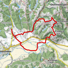
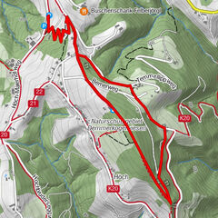
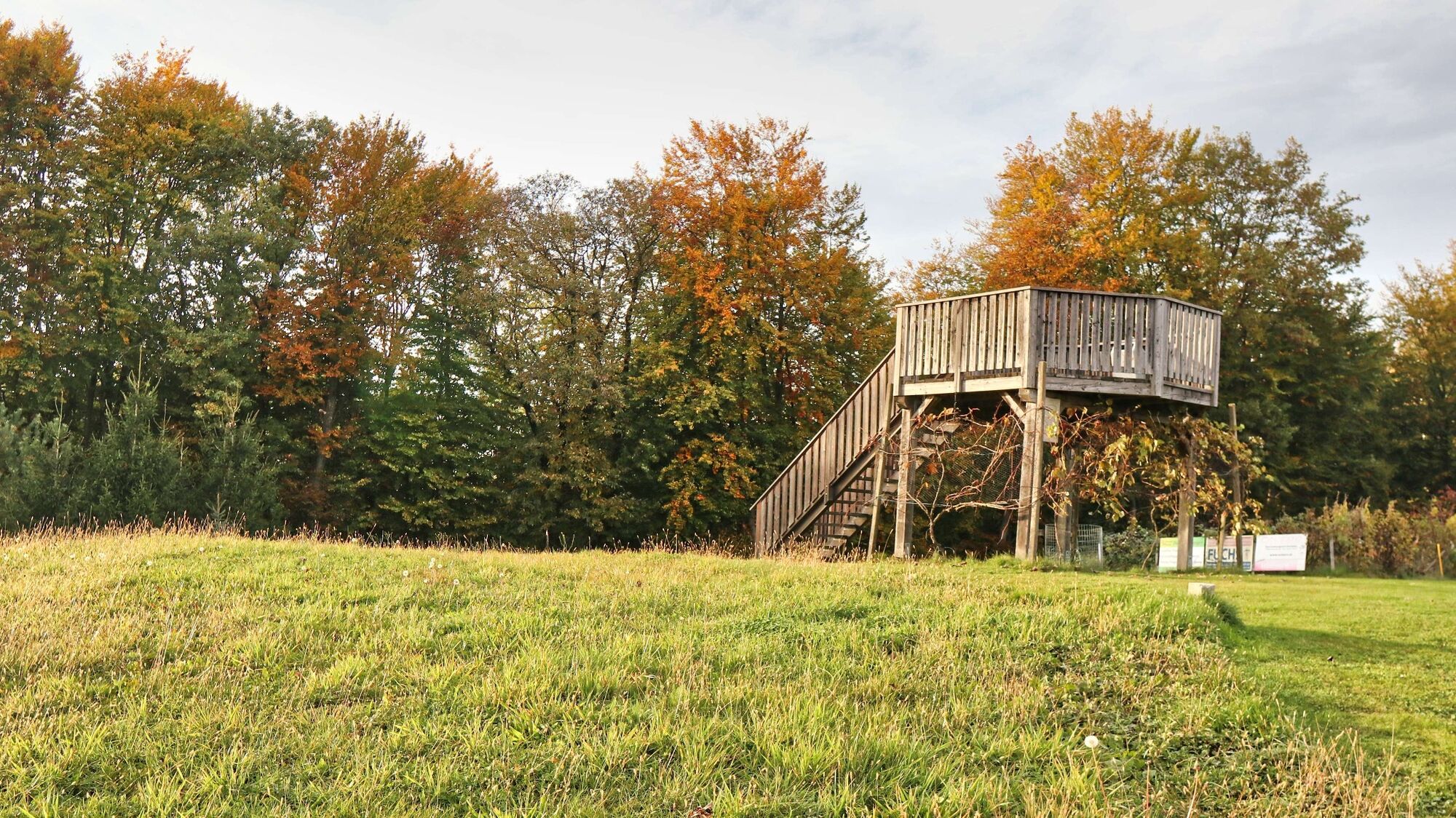
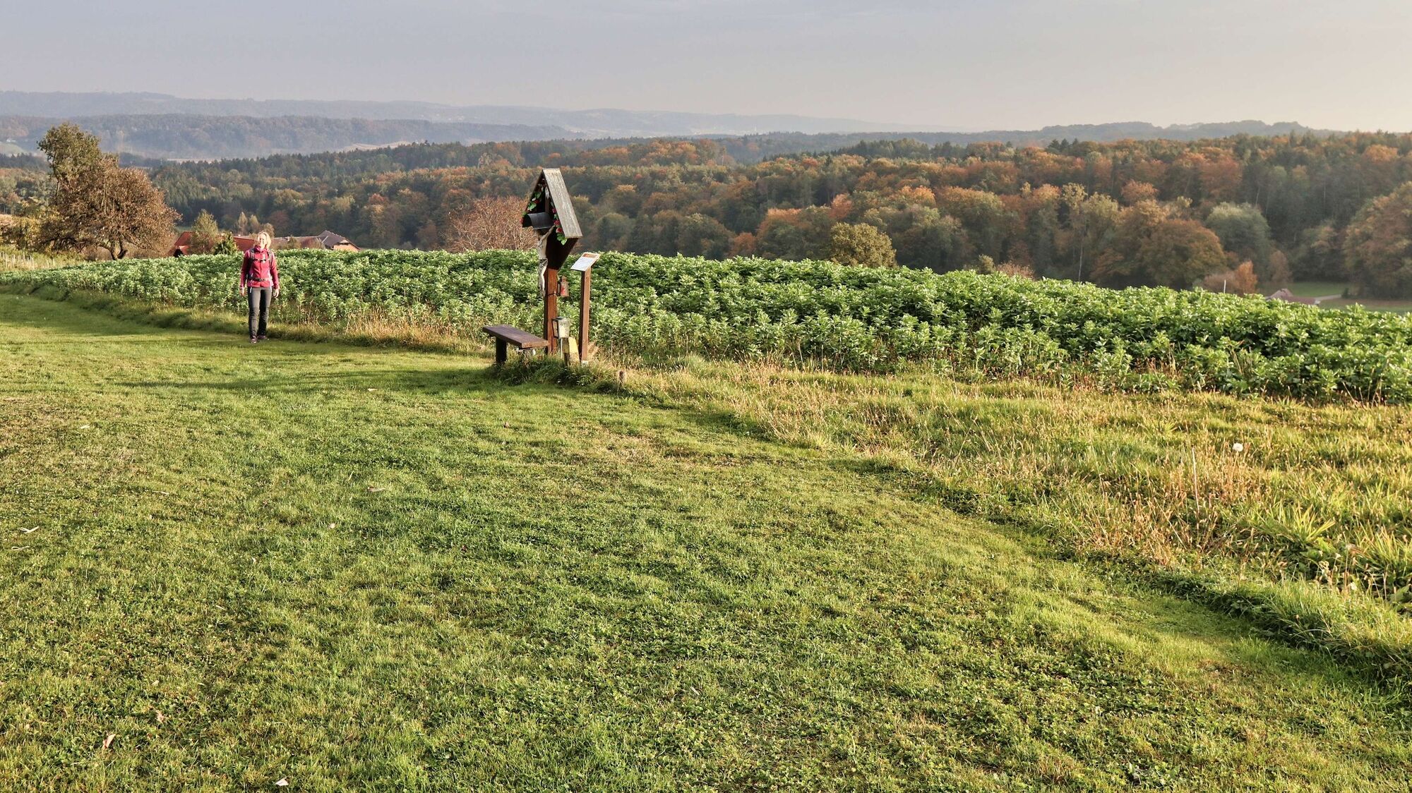
A well-marked and partly very scenic trail through the rolling hills of the Grabenland.
- Difficoltà
-
facile
- Valutazione
-
- Percorso
-
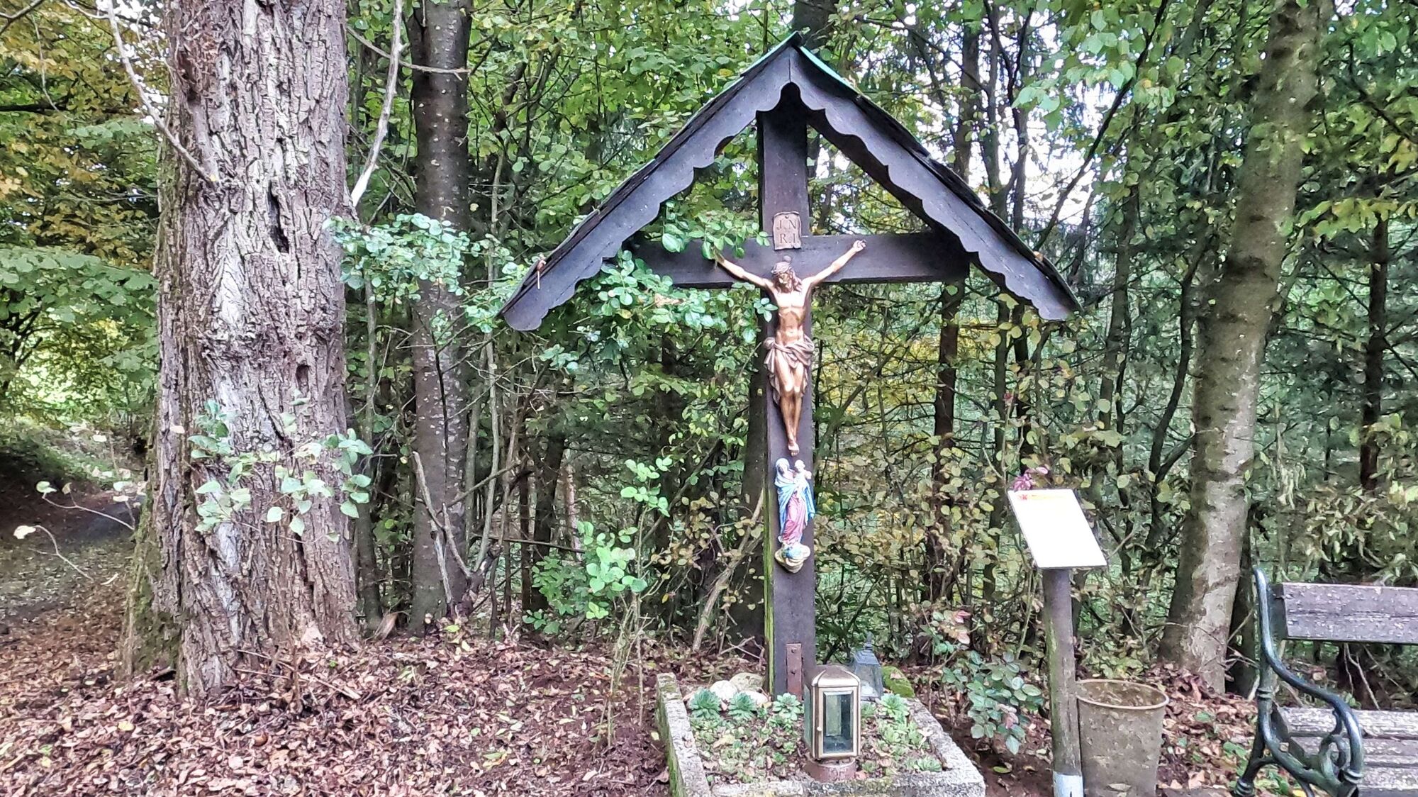
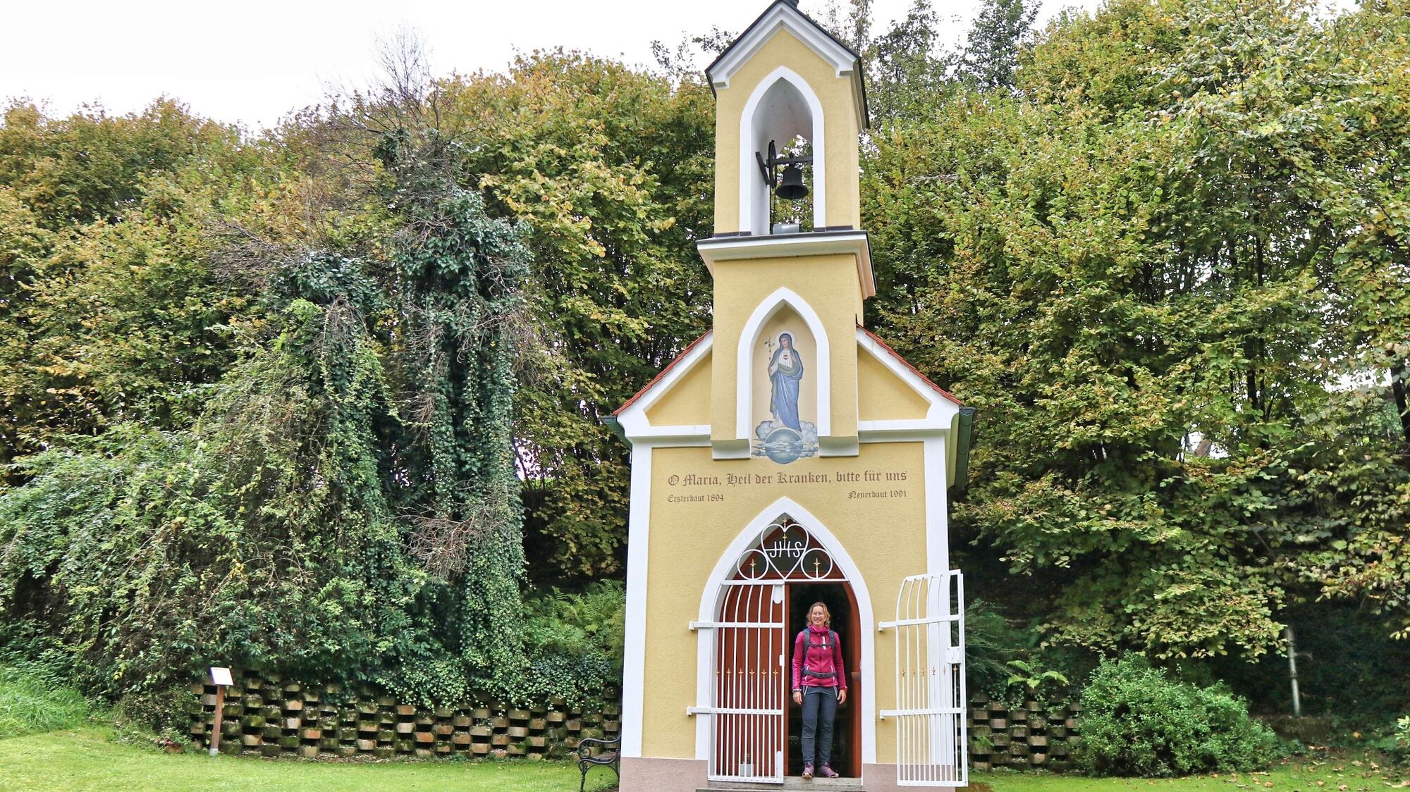
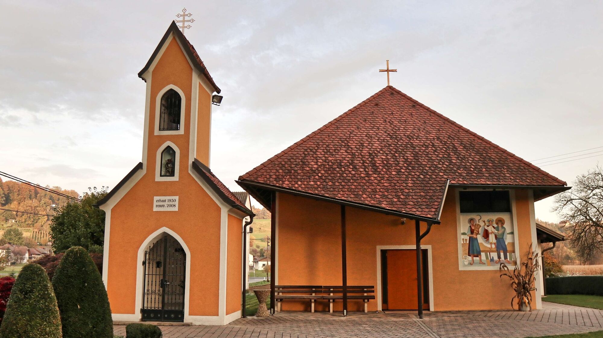
FrannachFrannacher Dorfstubn0,1 kmPöllauberg2,1 kmLangleiten5,1 kmUnterlangleiten5,4 kmKlampferkapelle5,8 kmGroßmanningberg6,9 kmSpindlerkapelle7,1 kmManning8,2 kmFrannach9,2 km
- La stagione migliore
-
genfebmaraprmaggiulugagosetottnovdic
- Punto più alto
- 439 m
- Destinazione
-
Frannach Community Center
- Profilo altimetrico
-


- Autore
-
Il tour Chapel trail (Kapellenweg) Frannach è utilizzato da outdooractive.com fornito.
GPS Downloads


Info generali
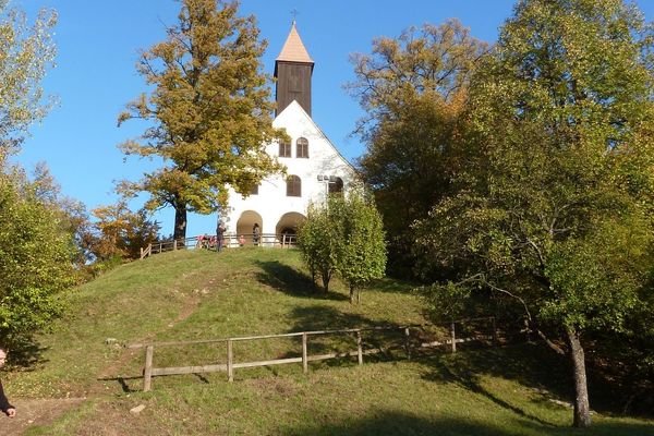
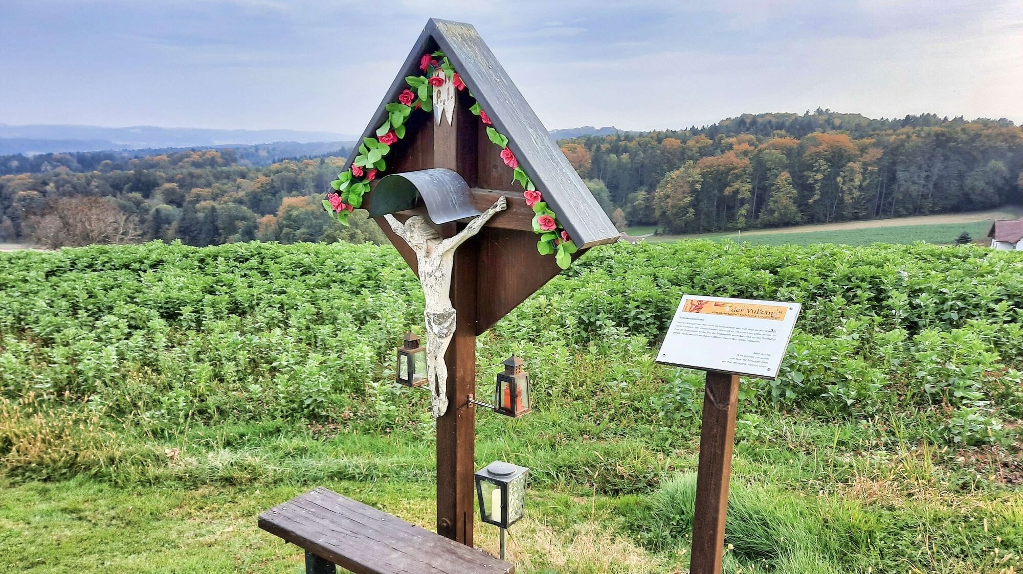
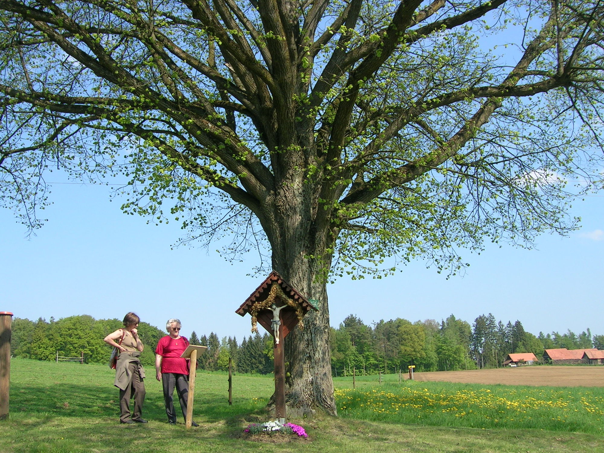
Culturale/Storico
Suggerimento
Promettente
Altri tour nelle regioni
-
Südsteiermark
1132
-
Region Gleisdorf
1005
-
Kirchbach-Zerlach
113