
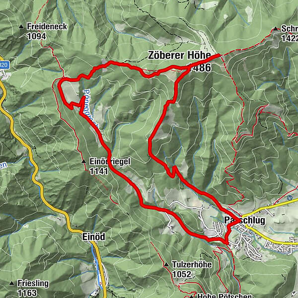
Dati percorsi
13,5km
703
- 1.467m
733hm
756hm
05:00h
- Descrizione rapida
-
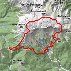
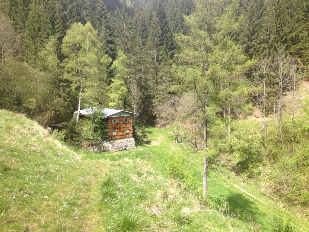
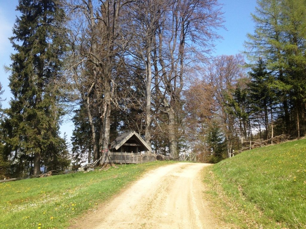
Kaisereck-Zöberer Höhe-GH Görgl-Parschlug
- Difficoltà
-
intermedio
- Valutazione
-
- Punto di partenza
-
eh. GH Birkenhof, nunmehr Parkplatz GH Wurmerl
- Percorso
-
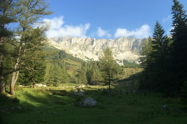
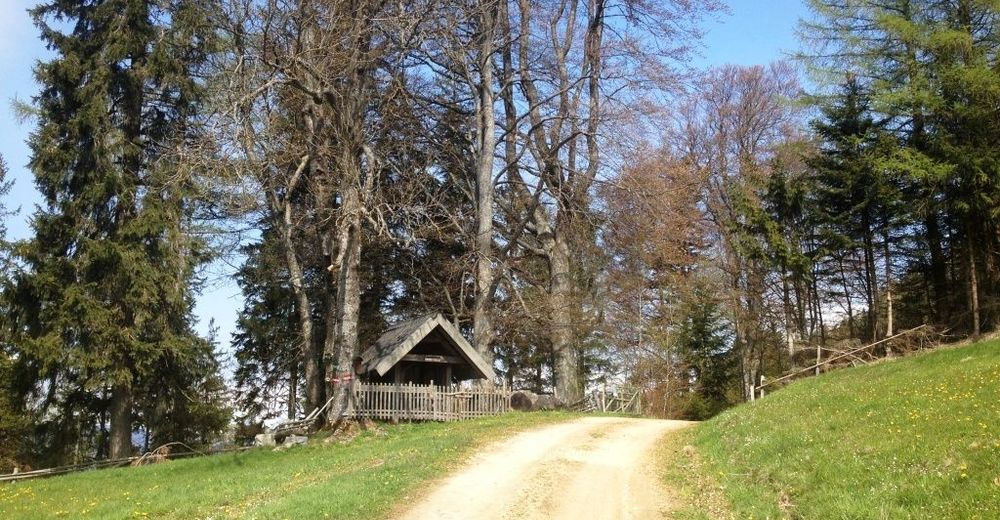
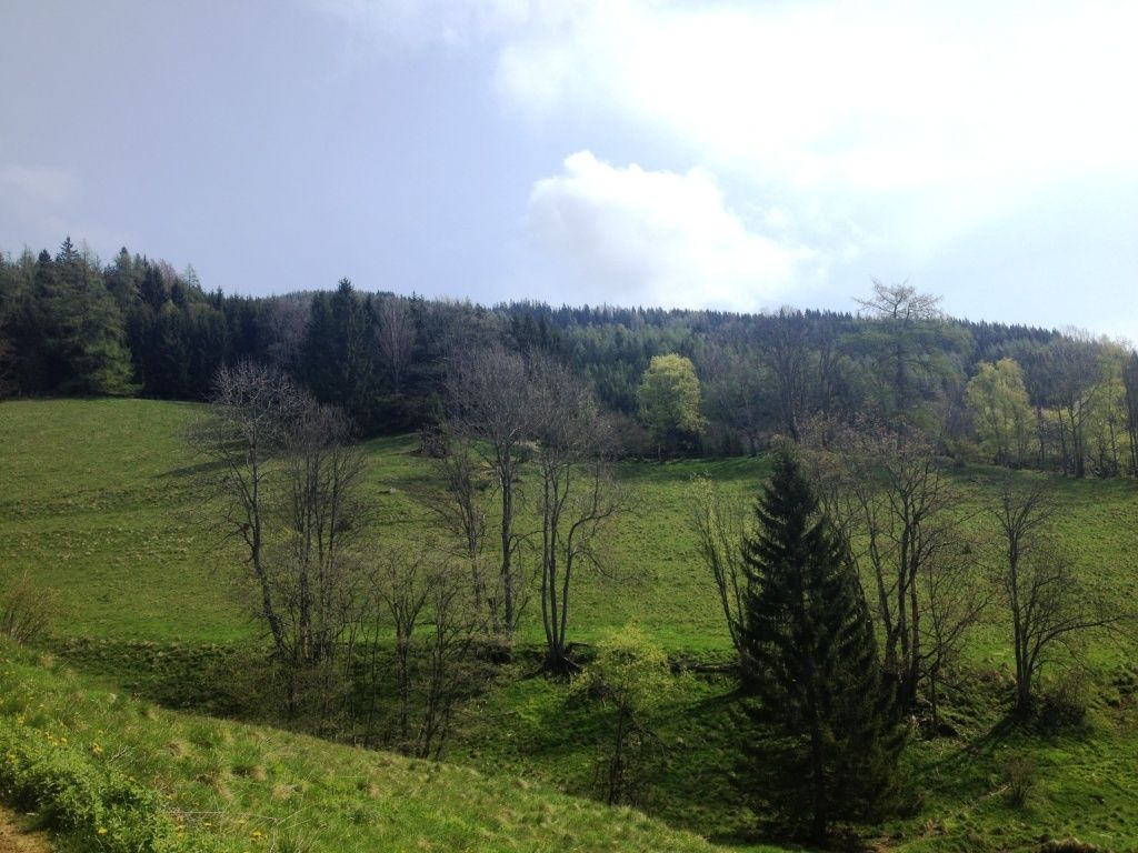
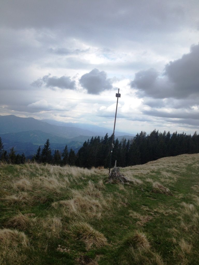
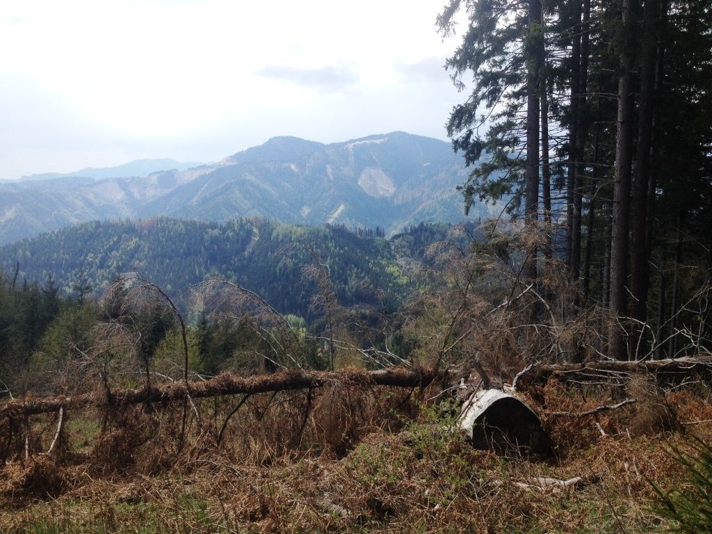
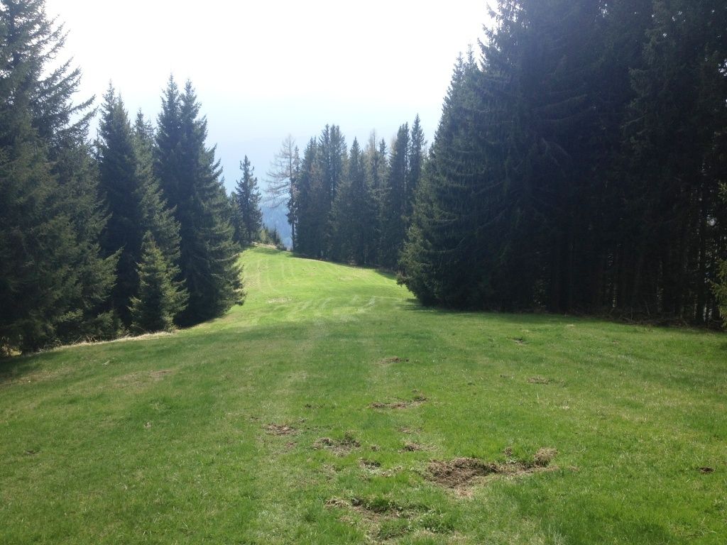
Parschlug0,0 kmPönegg1,4 kmZöberer Höhe (1.486 m)8,1 kmParschlug12,8 km
- La stagione migliore
-
genfebmaraprmaggiulugagosetottnovdic
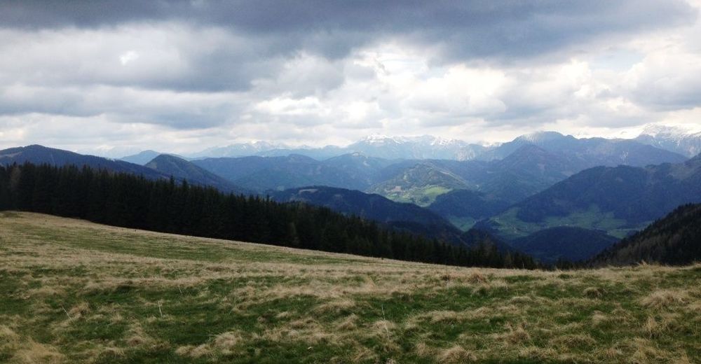
- Punto più alto
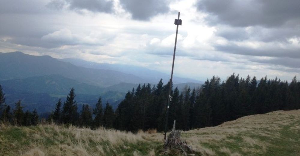
- Zöberer Höhe (1.467 m)
- Destinazione
-
eh. GH Birkenhof


- Fonte
- Alois
GPS Downloads


Condizioni dei sentieri
Asfalto
Ghiaia
(20)
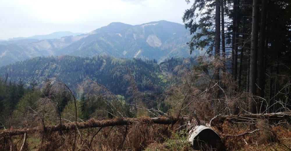
Prato
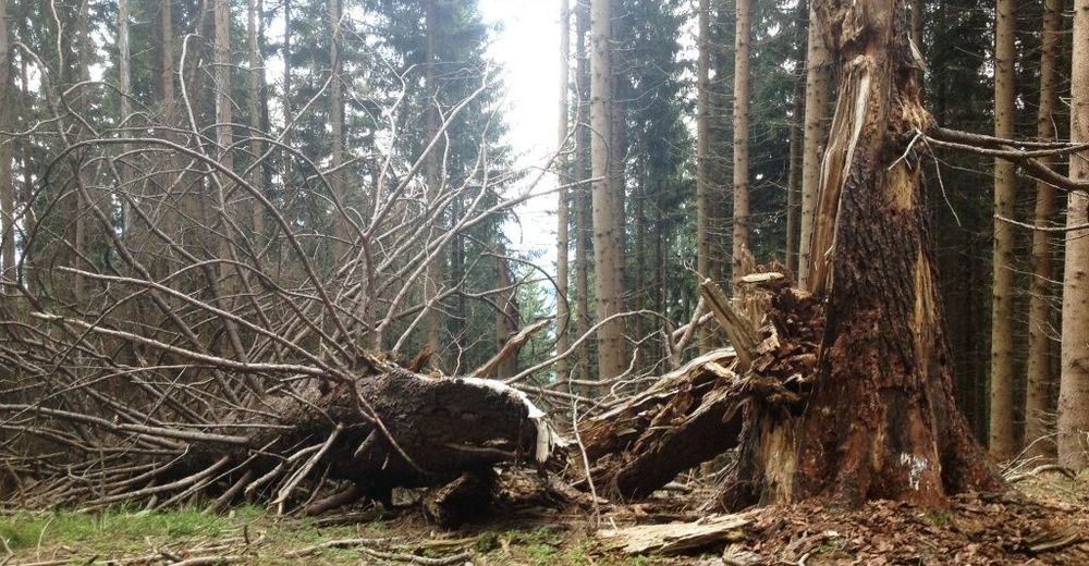
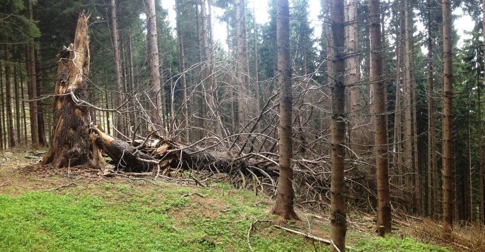
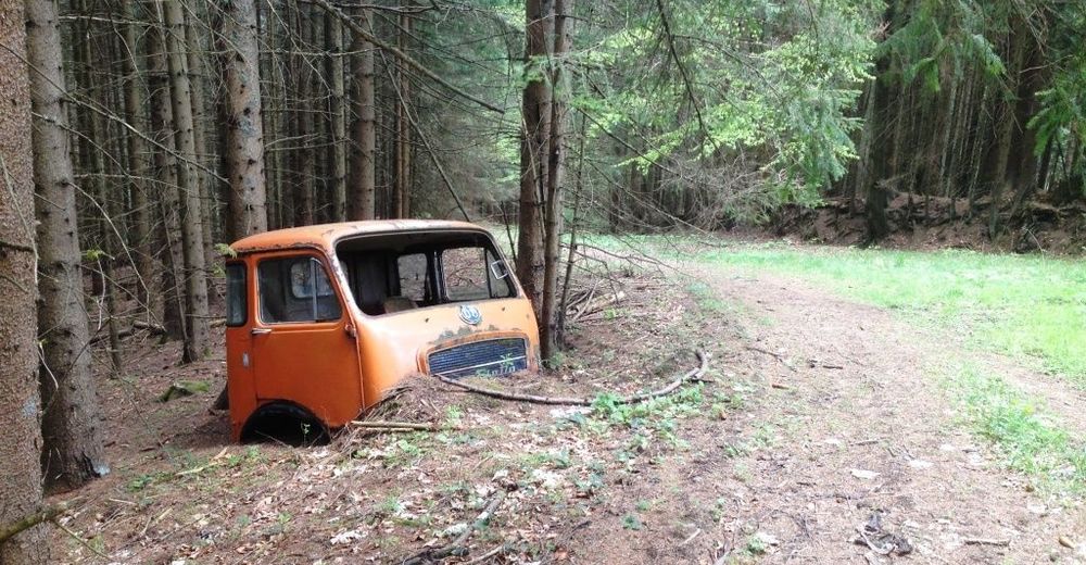
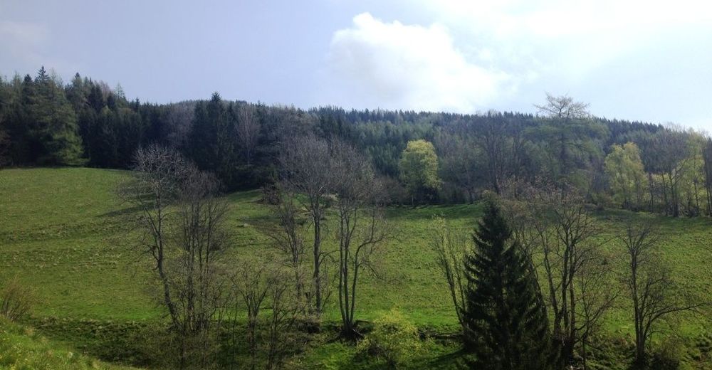
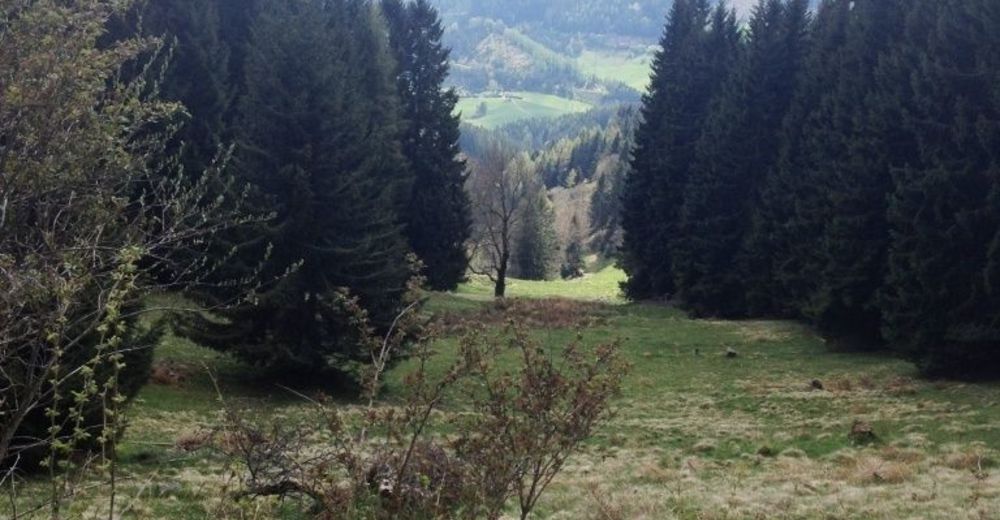
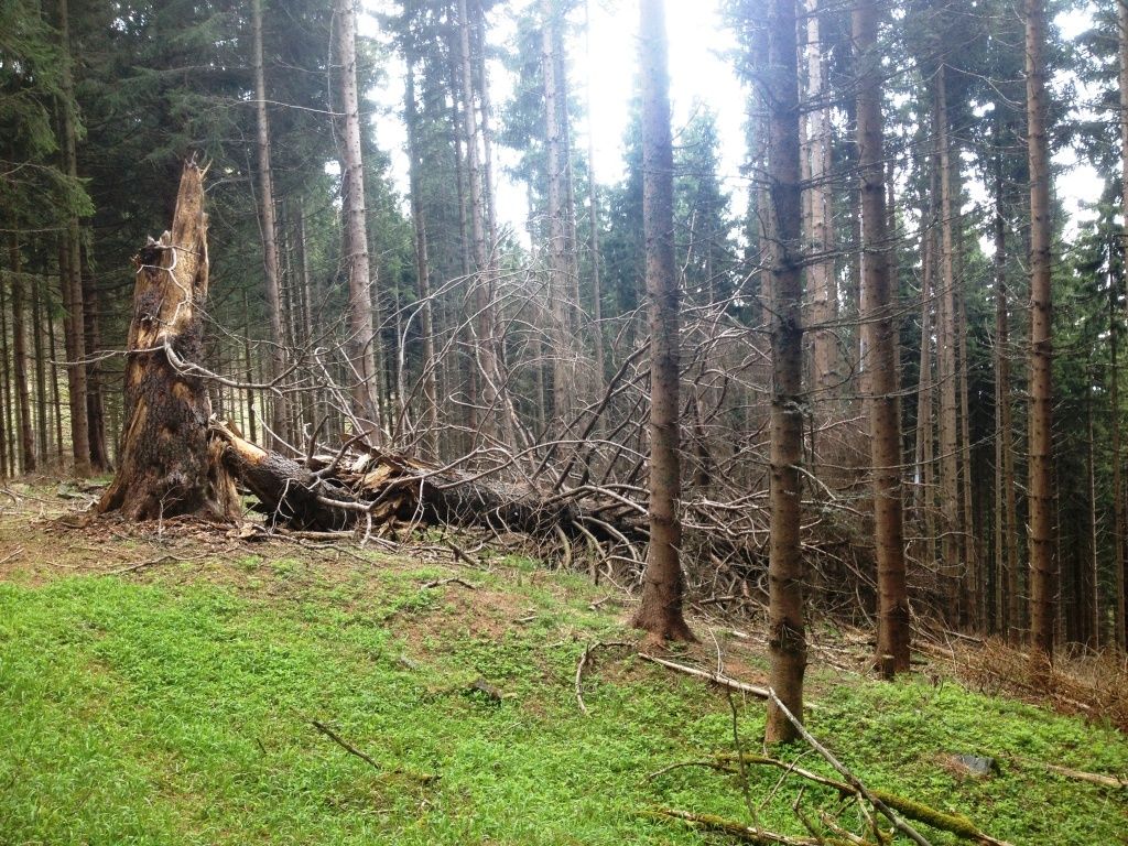
Foresta
(80)
Roccia
Esposta
Altri tour nelle regioni
-
Hochsteiermark
4082
-
Bruckmur-Kapfenberg
1500
-
Thörl
384