© foxrobs
© foxrobs
© foxrobs
© foxrobs
© foxrobs
© foxrobs
© foxrobs

© foxrobs
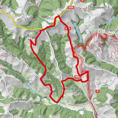
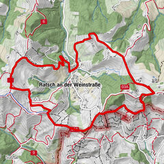
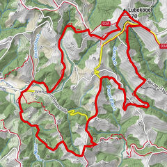
Dati percorsi
3,89km
230
- 233m
-
02:00h
- Descrizione rapida
-
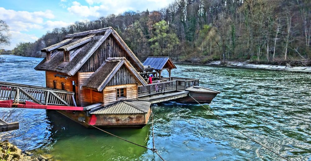
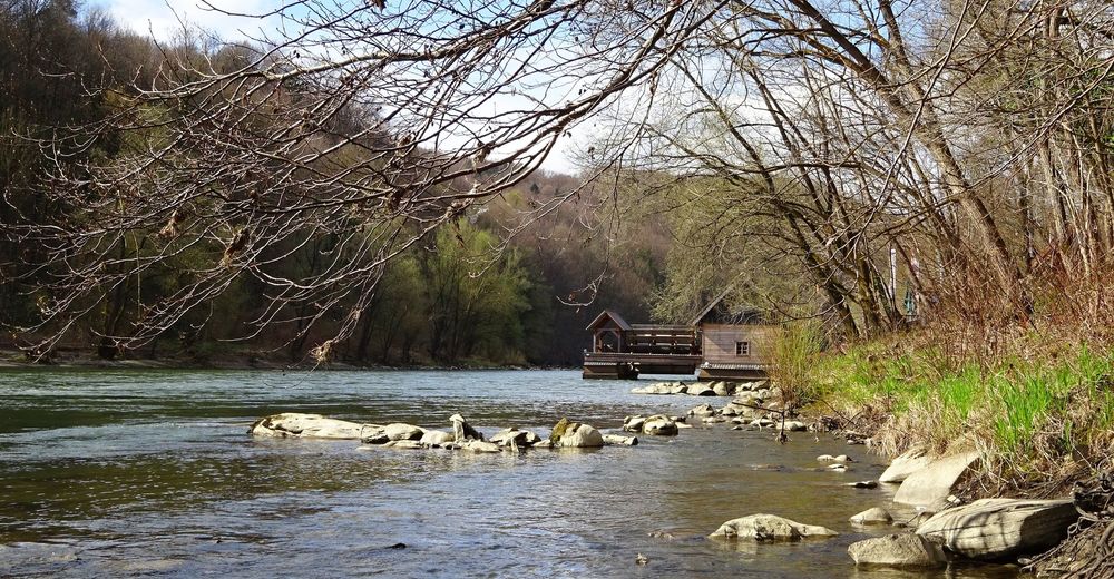
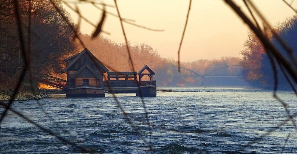
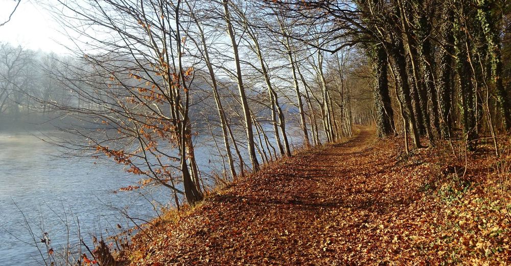
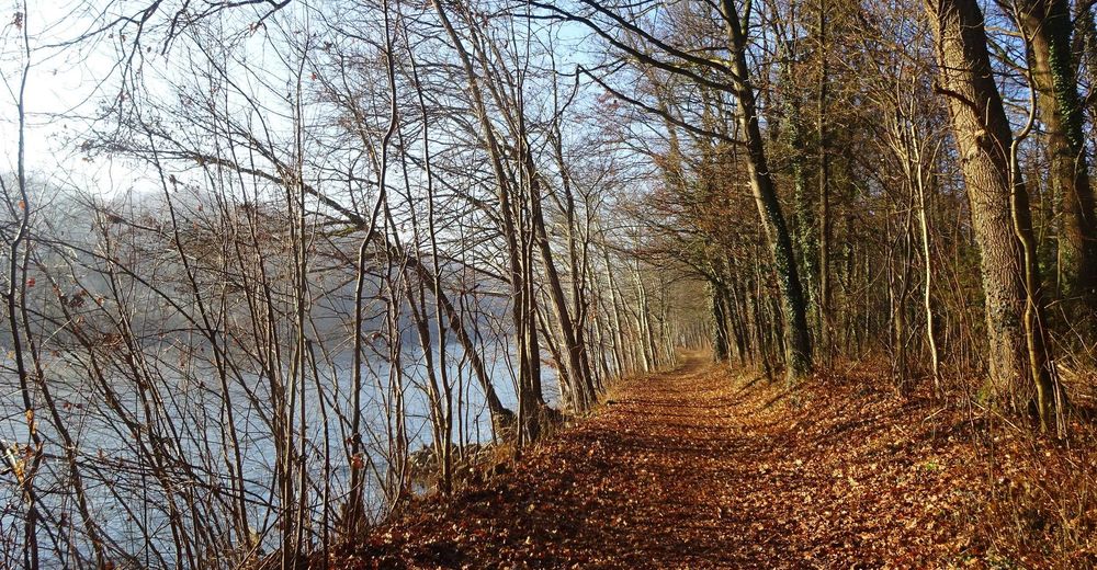
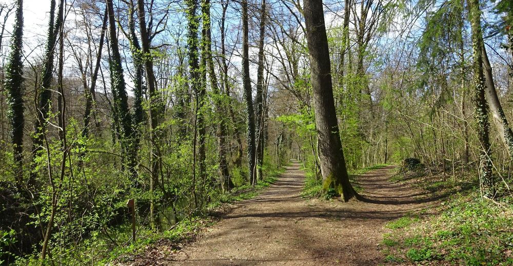
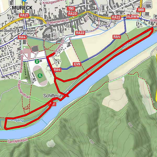
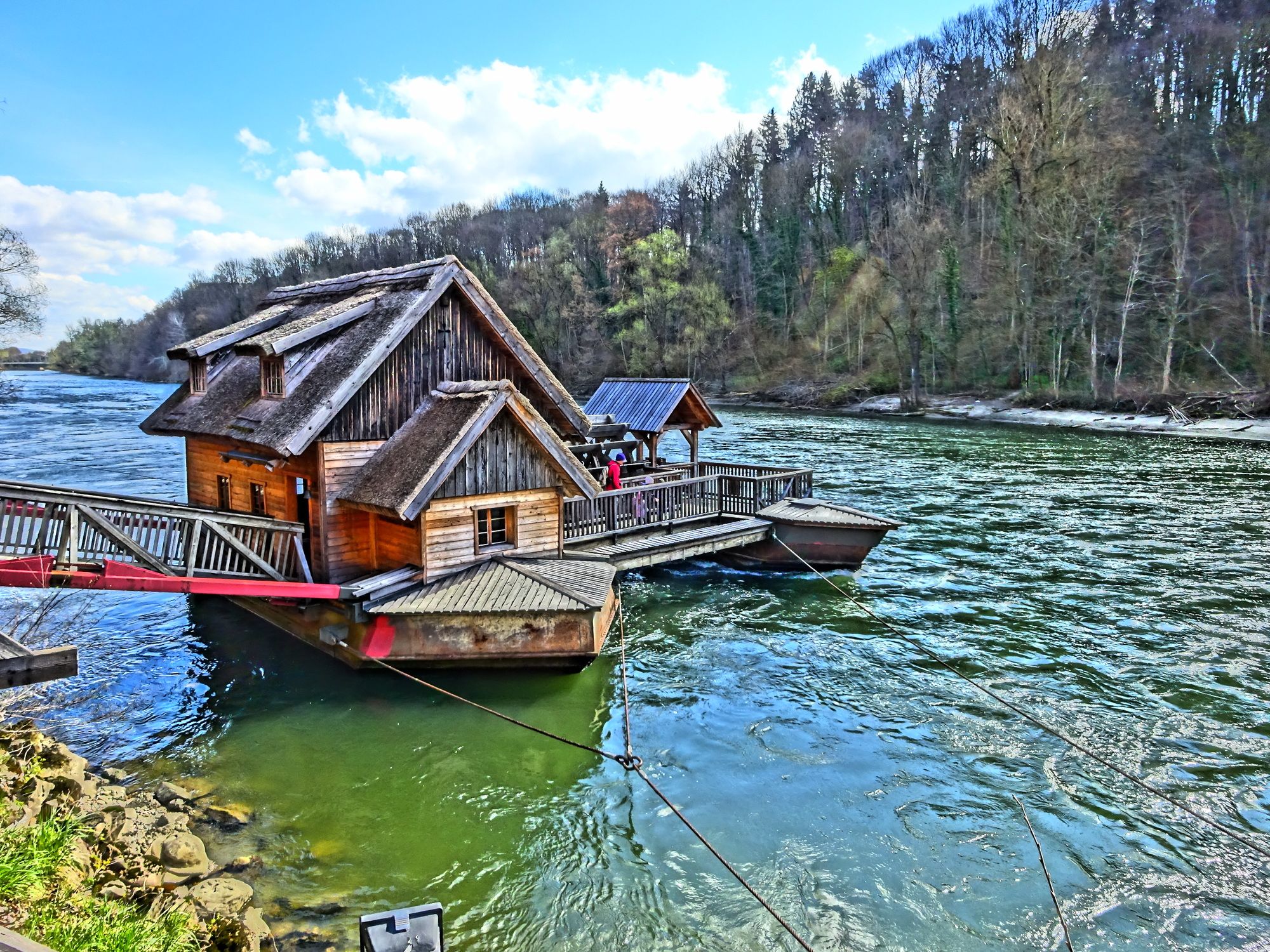
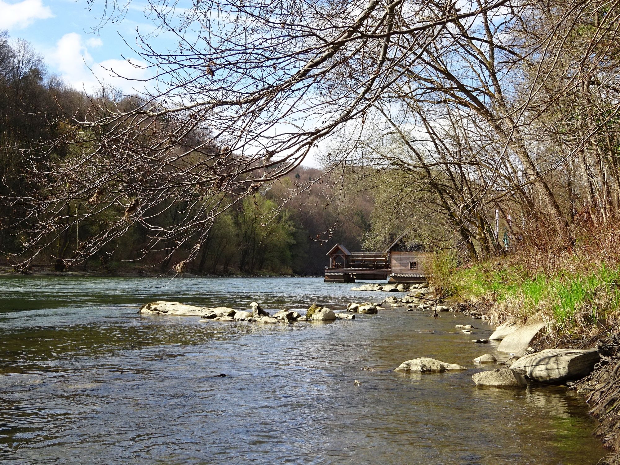
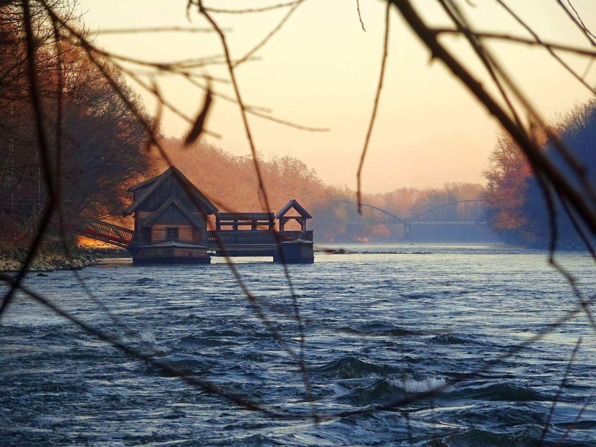
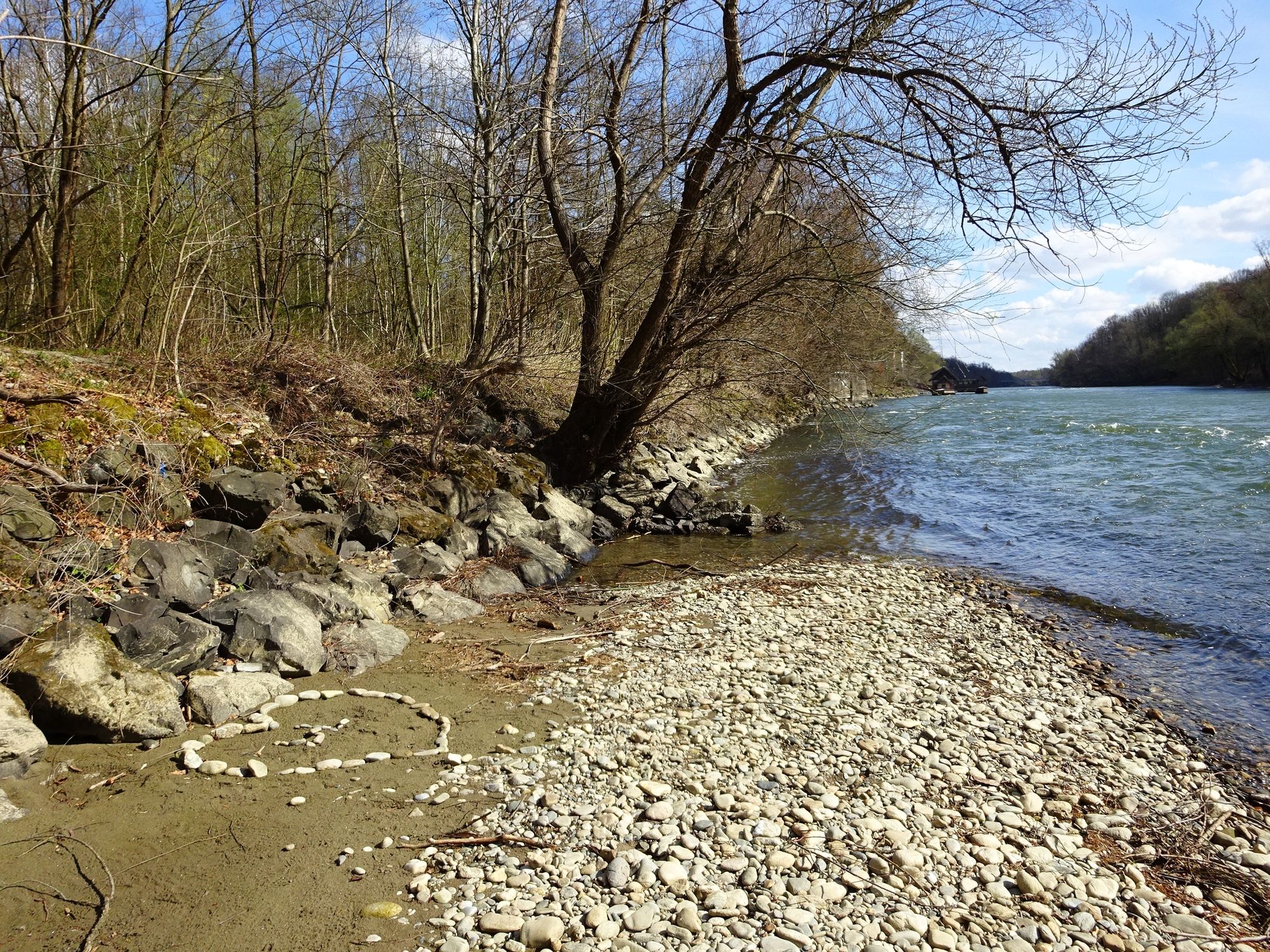
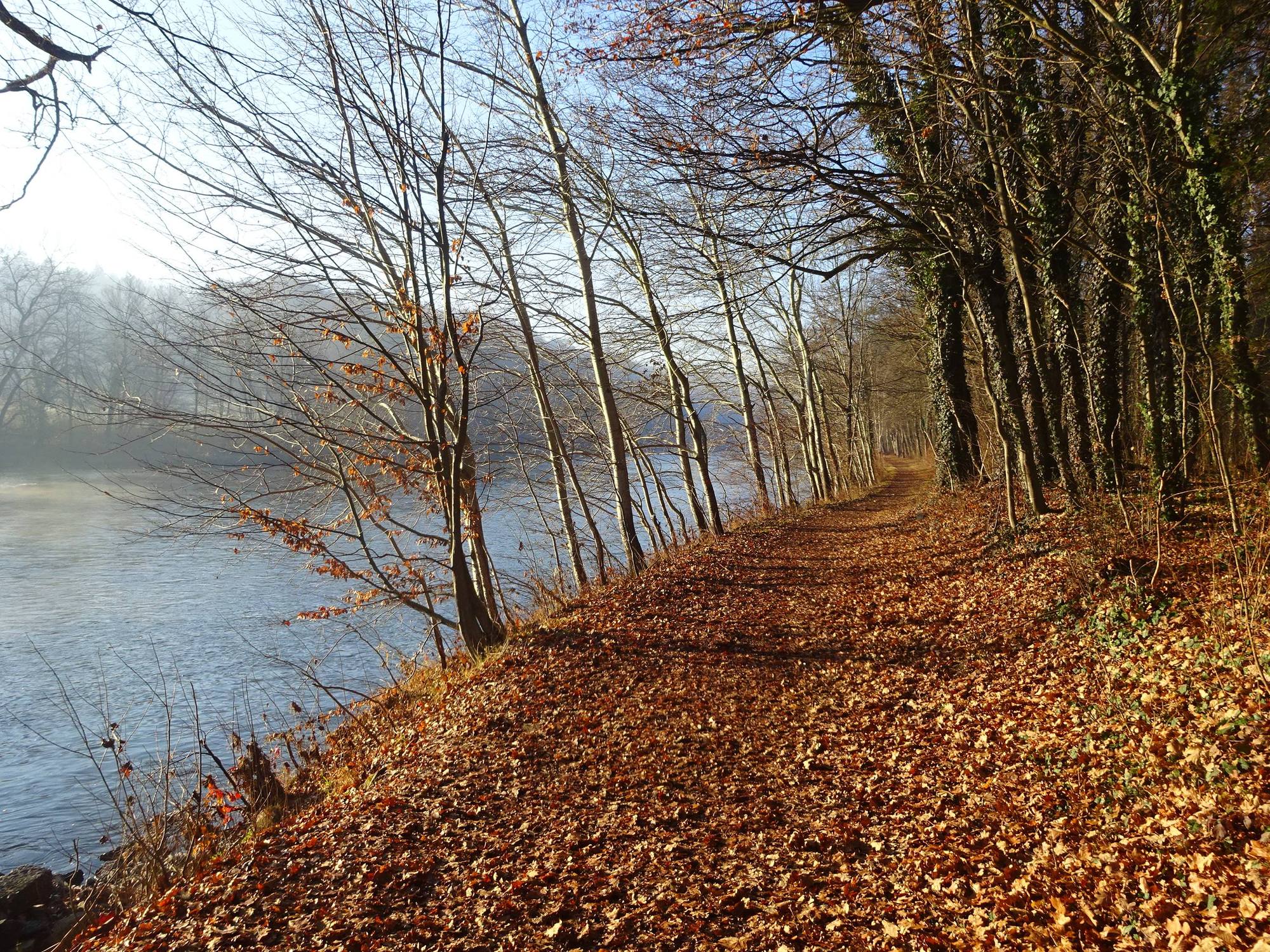
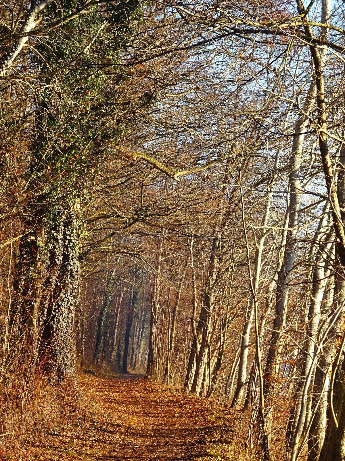
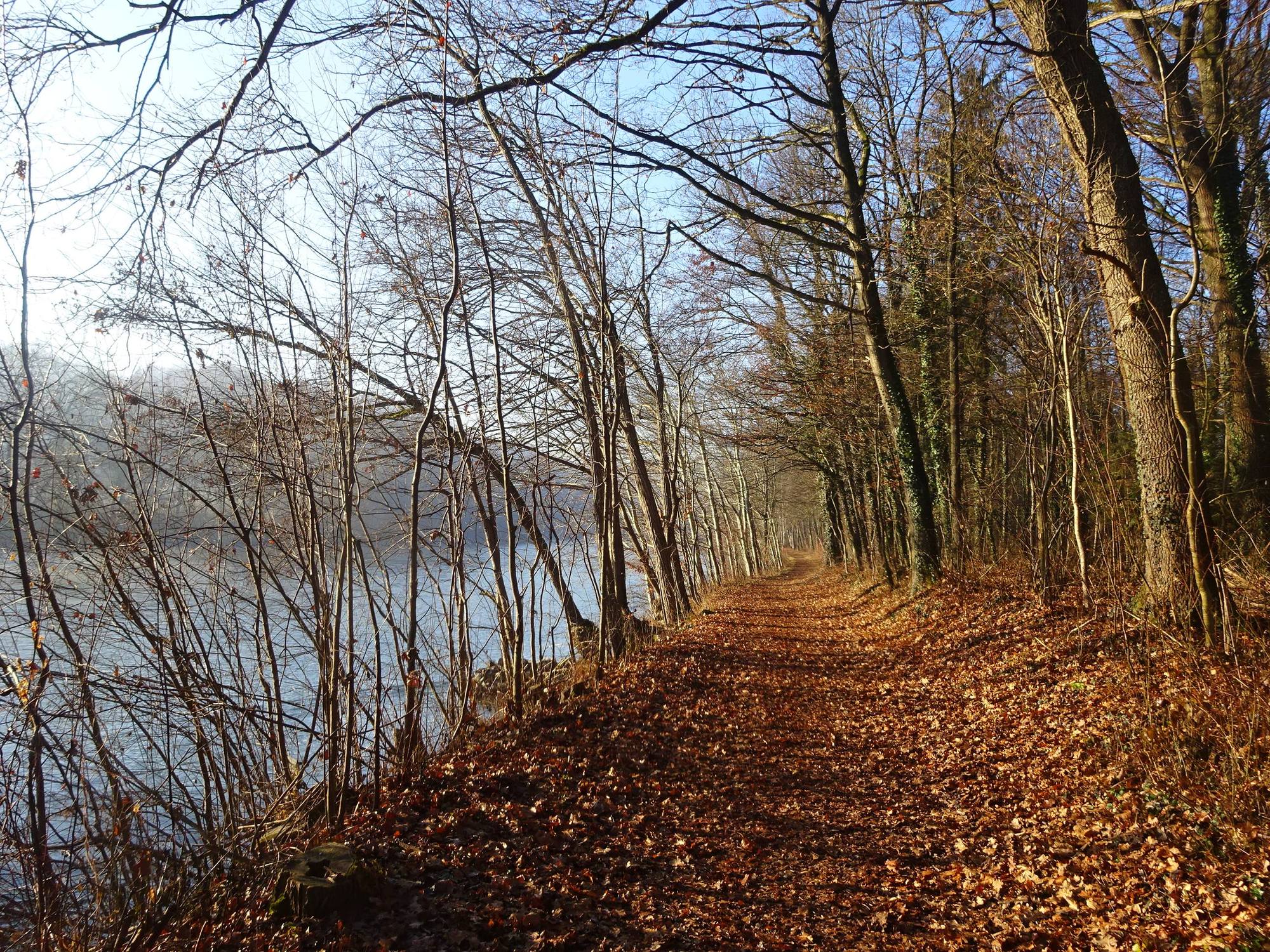
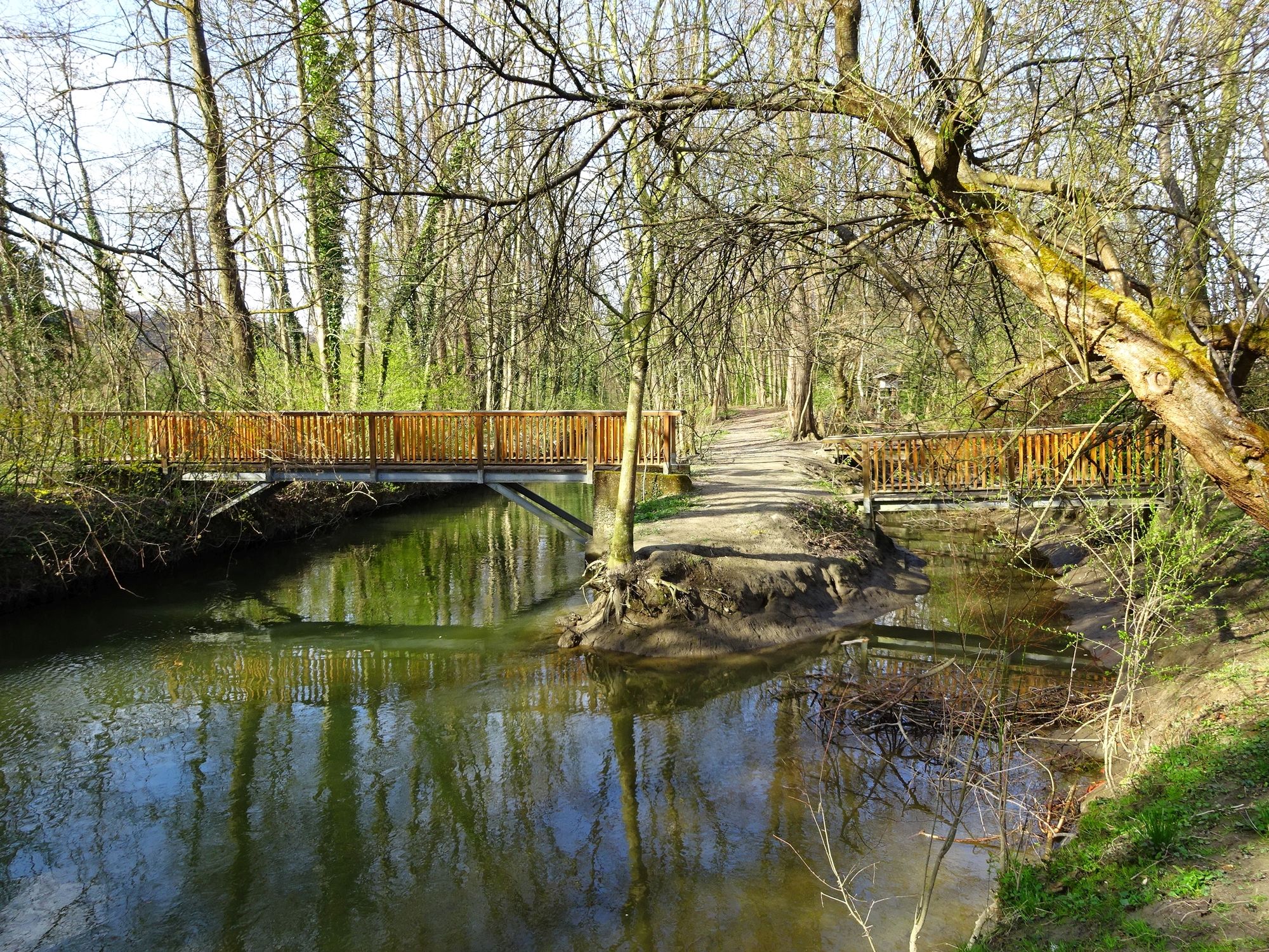
Murecker Schiffsmühle mit Mur-Au Wanderung
- Difficoltà
-
facile
- Valutazione
-
- Punto di partenza
-
Ab Freibad ca. 400m zur Schiffsmühle,
ab Hauptplatz beim Rathaus, ca. 900m zur Schiffsmühle. - La stagione migliore
-
genfebmaraprmaggiulugagosetottnovdic
- Punto più alto
- 233 m
- Destinazione
-
Schiffsmühle bzw. Mur-Auen
- Riposo/Ritiro
-
Cafe-Restaurant "Mühlenhof" sowie Cafes, Eis-Läden, Buschenschanken, Restaurants direkt in der Stadt Mureck

GPS Downloads


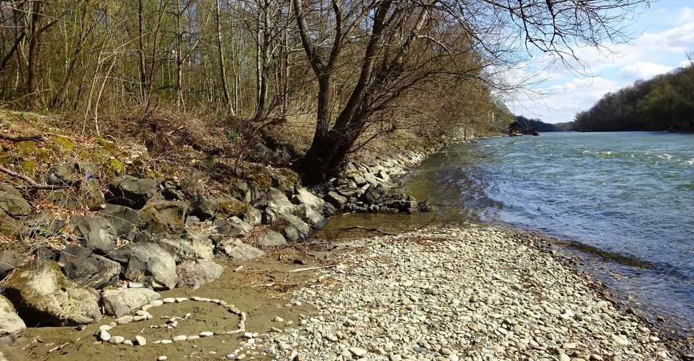
Condizioni dei sentieri
Asfalto
Ghiaia
Prato
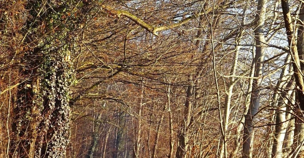
Foresta
Roccia
Esposta
Altri tour nelle regioni
-
Südsteiermark
1135
-
Region Bad Radkersburg
217
-
Mureck
48