

© foxrobs

© foxrobs

© foxrobs

© foxrobs

© foxrobs

© foxrobs

© foxrobs

© foxrobs

© foxrobs
Dati percorsi
12,45km
1.071
- 1.857m
820hm
830hm
04:30h
- Descrizione rapida
-
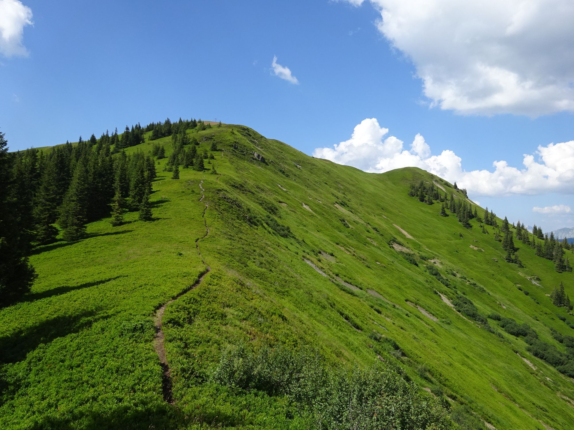
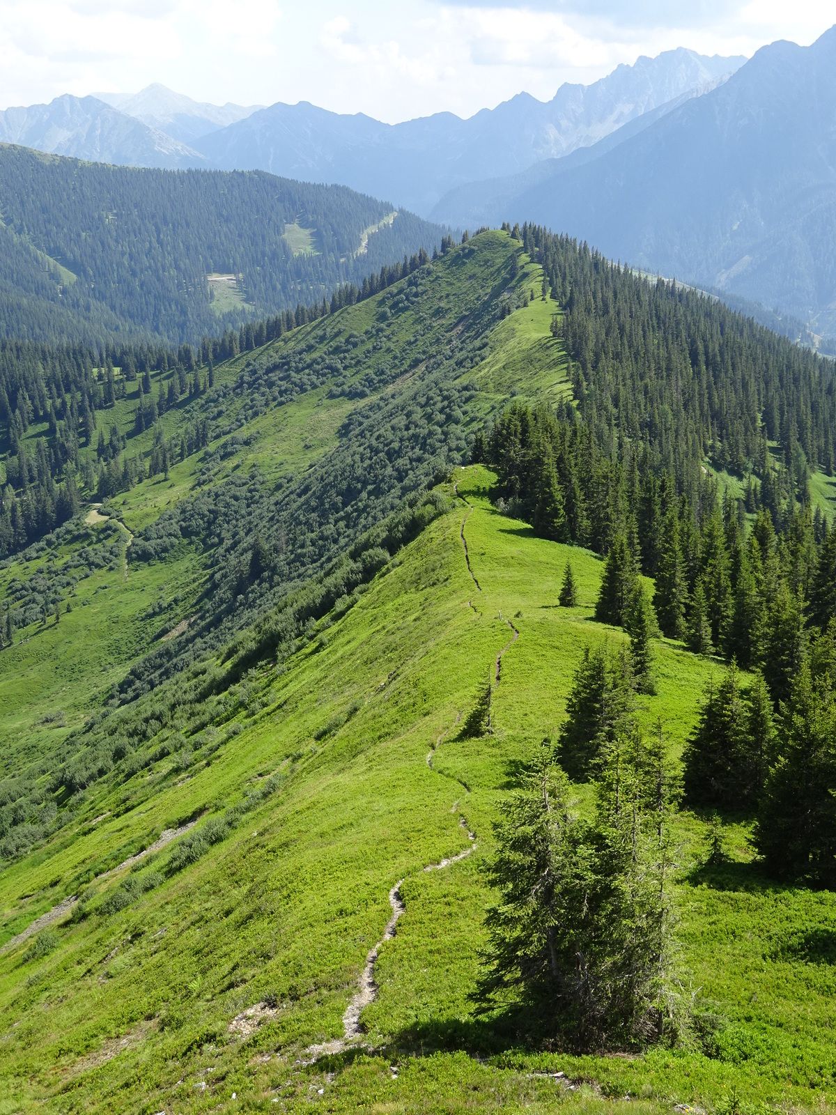
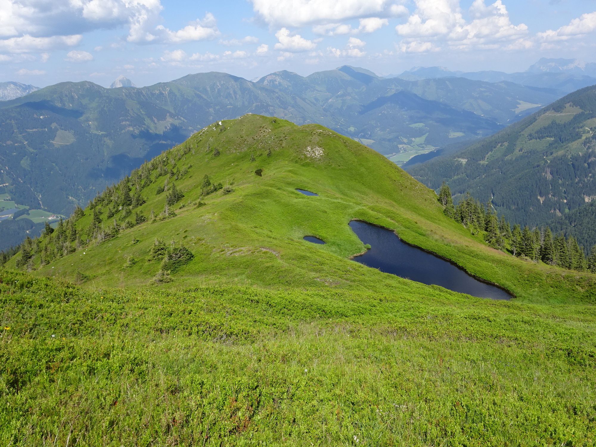
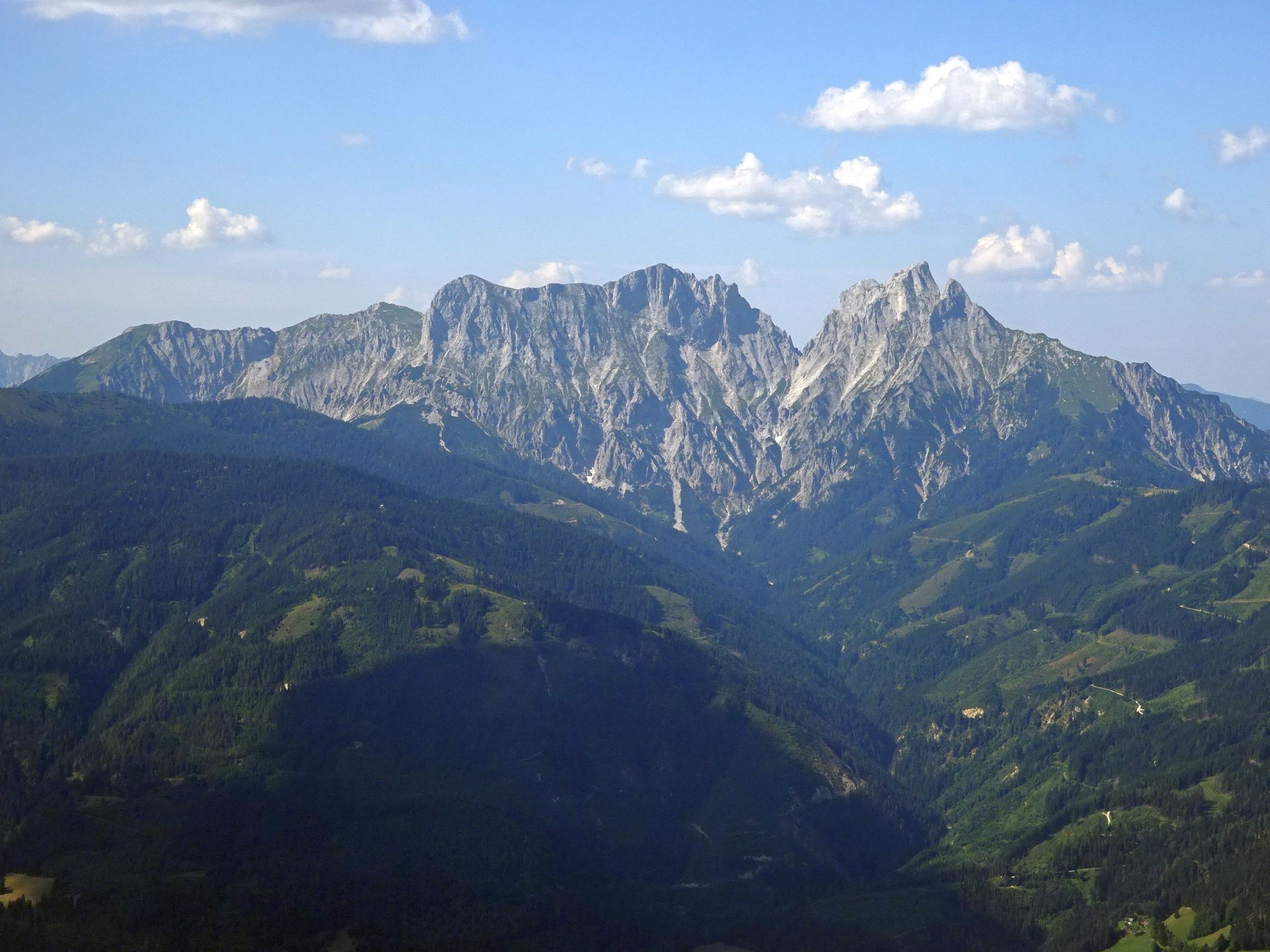
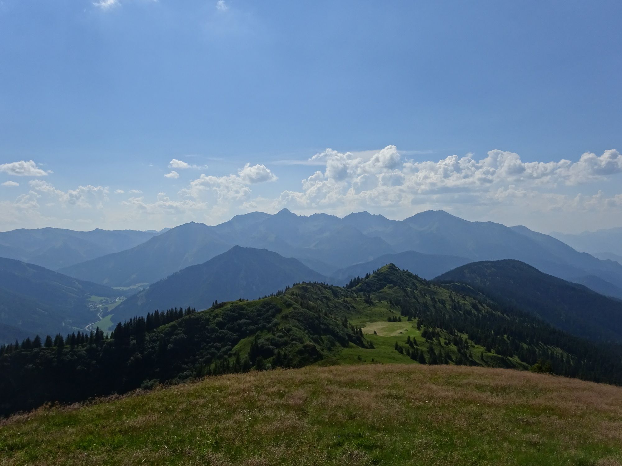
Einfache Wanderung auf schönen Wald- und Wiesenwegen mit traumhaften Rundumausblick auf den Großen Bösenstein, Kalbling, Reichenstein und nach Trieben.
- Difficoltà
-
facile
- Valutazione
-
- Punto di partenza
-
Brücke bei dem oben erwähnten Kraftwerk.
- Percorso
-
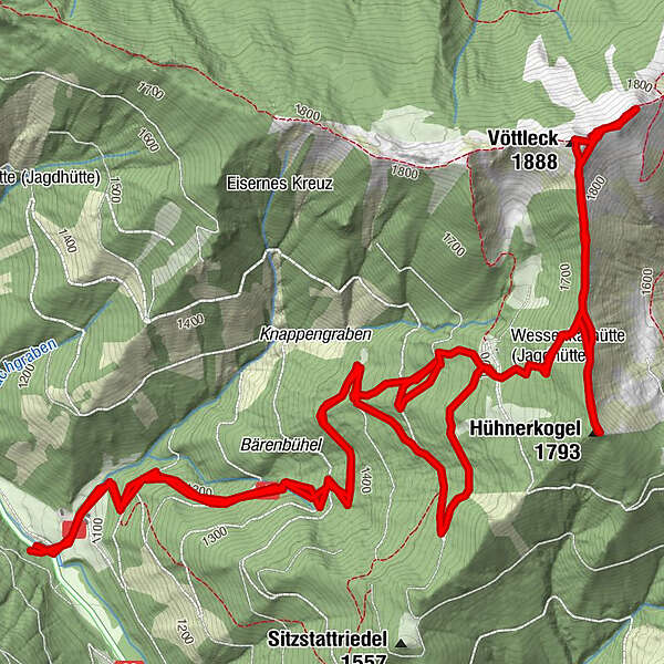
Hühnerkogel (1.793 m)5,2 kmVöttleck (1.888 m)6,5 km
- La stagione migliore
-
genfebmaraprmaggiulugagosetottnovdic
- Punto più alto
- Vöttleck (1.857 m)
- Riposo/Ritiro
-
Einkehr am Weg ist keine vorhanden!
Gasthof Braun: 1km weiter ins Vordertriebental
Wirthaus Brodjäger: 1,5km vorher, direkt bei der Abzweigung von der Bundesstraße B114


GPS Downloads


Condizioni dei sentieri
Asfalto
Ghiaia
Prato
Foresta
Roccia
Esposta
Altri tour nelle regioni
-
Gesäuse
2228
-
Gaishorn am See
307


")
