

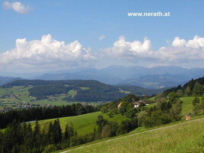
© Region Graz - Hirsch Florian

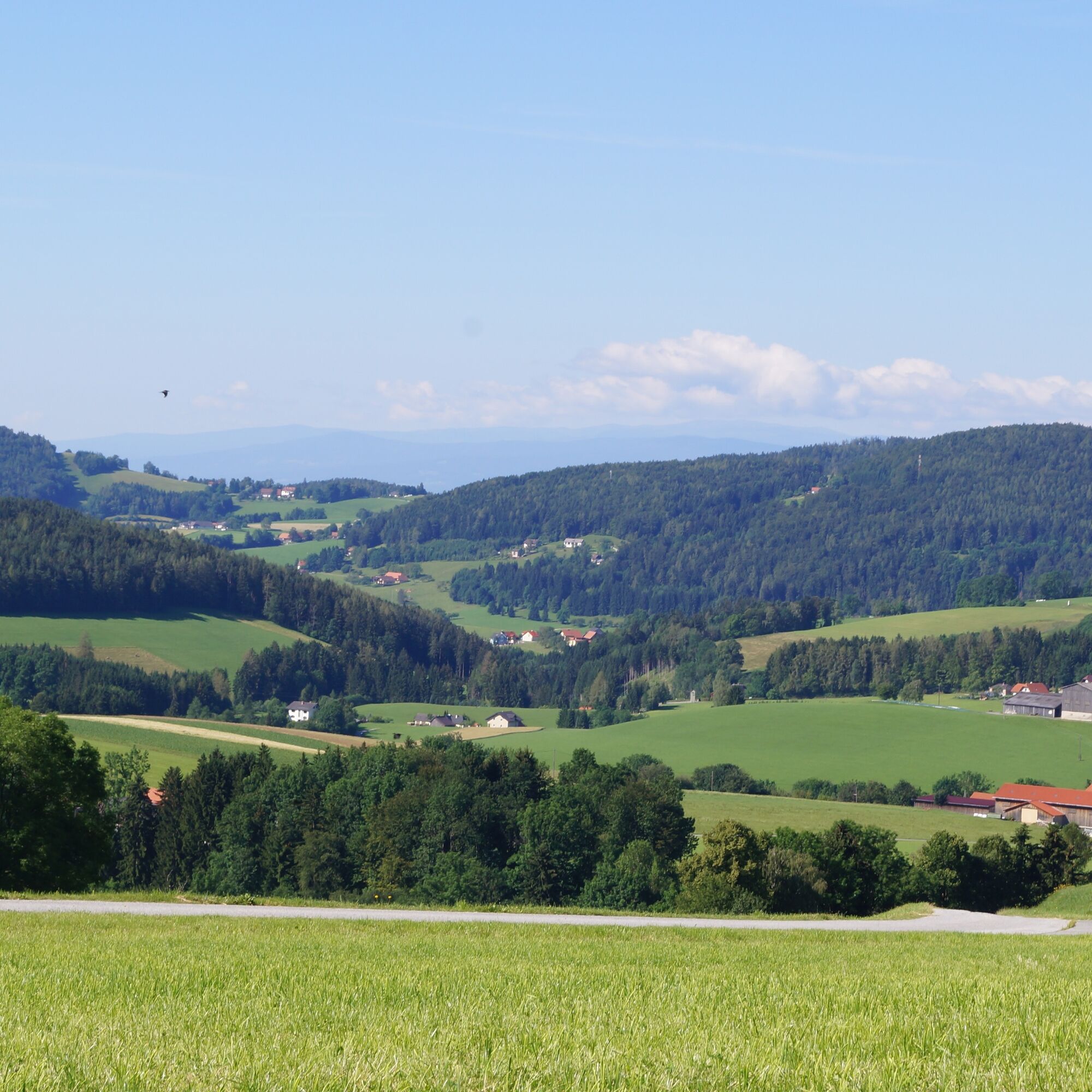
© Region Graz - Hirsch Florian

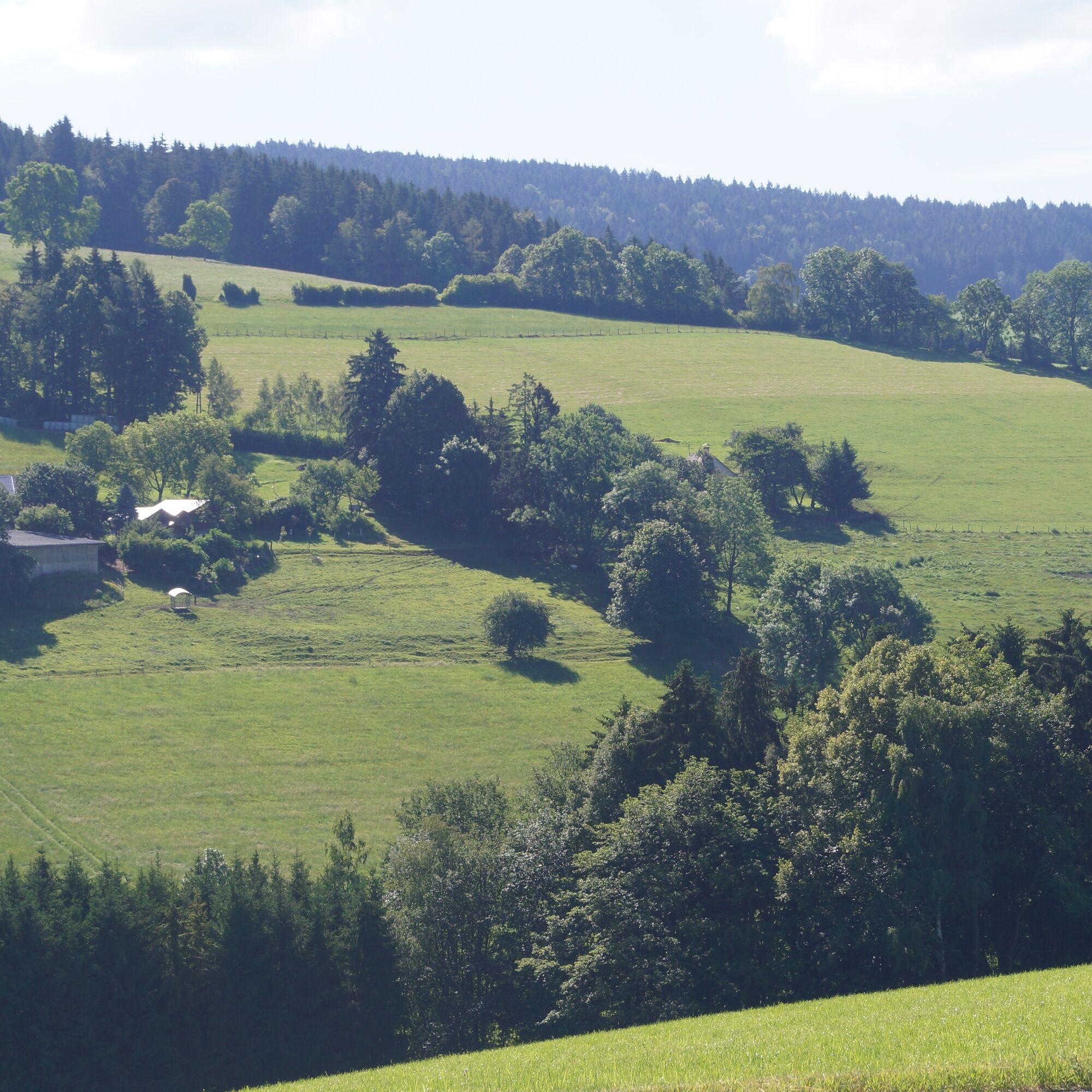
© Region Graz - Hirsch Florian

© Region Graz - Hirsch Florian

© Region Graz - Hirsch Florian

© Region Graz - Hirsch Florian
- Descrizione rapida
-
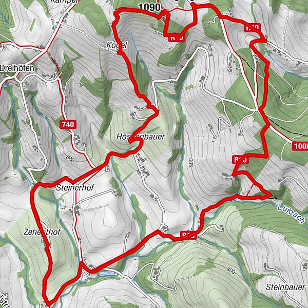
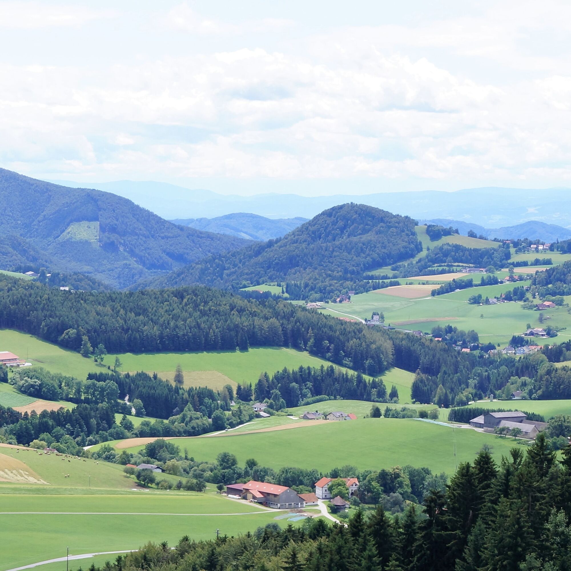
Rundwanderweg R10
Boden – Rechbergkogl – Kambegg – Greith
- Difficoltà
-
facile
- Valutazione
-
- Percorso
-
Rechbergkogel (1.090 m)3,4 km
- La stagione migliore
-
genfebmaraprmaggiulugagosetottnovdic
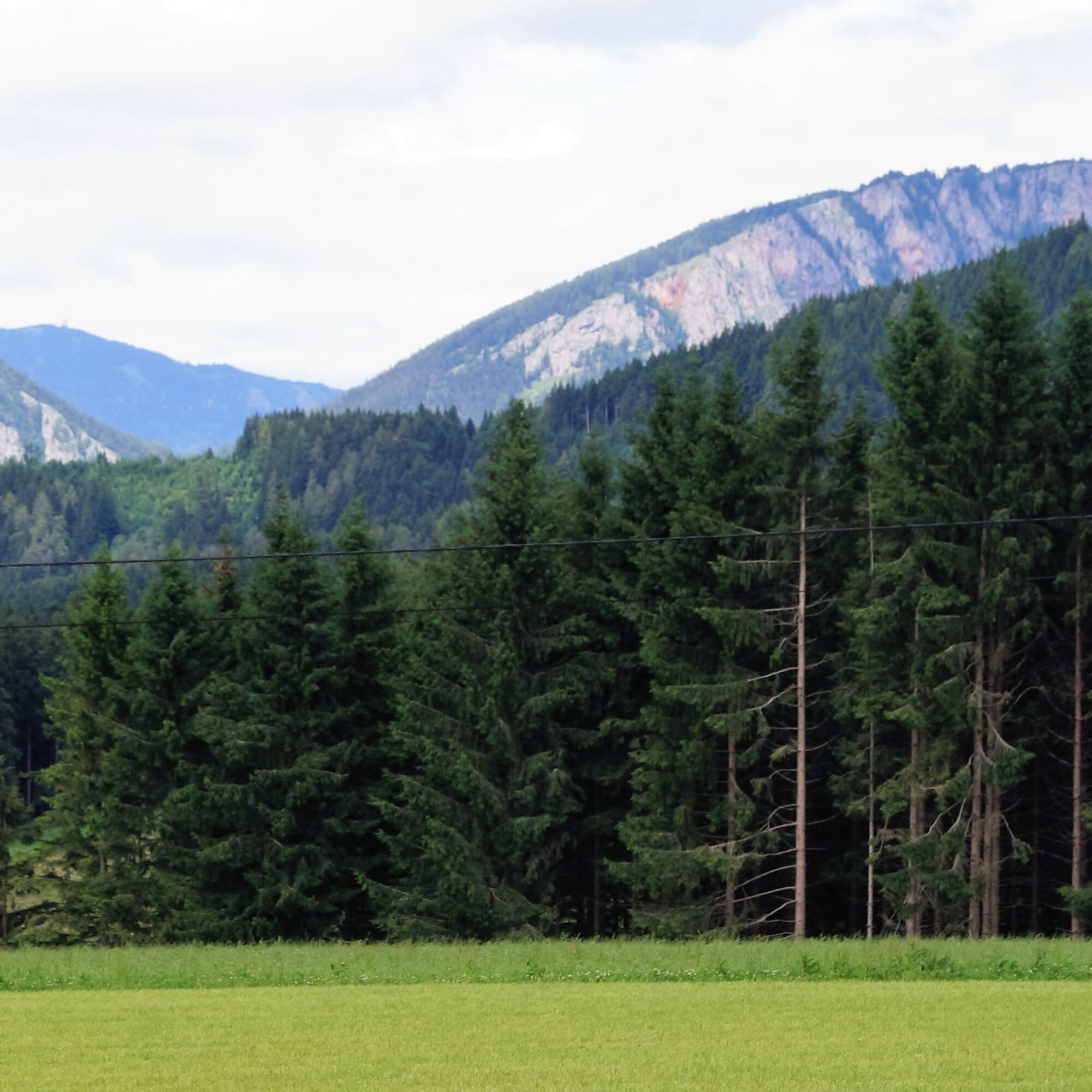
- Punto più alto
- 1.004 m
- Destinazione
-
Zehenthof
- Profilo altimetrico
-


- Autore
-
Il tour R10 Boden-Rechbergkogel-Greithweg è utilizzato da outdooractive.com fornito.
GPS Downloads


Info generali
Promettente
Altri tour nelle regioni
-
Erlebnisregion Graz
2783
-
Grazer Bergland - Schöcklland
1702
-
Semriach
605


