

© TVB Oststeiermark - Christine Pollhammer

© TVB Oststeiermark - Christa Pollhammer

© TVB Oststeiermark - Christine Pollhammer

© TVB Oststeiermark - Tourismusverband Oststeiermark

© TVB Oststeiermark - Tourismusverband Oststeiermark

© TVB Oststeiermark - Christine Pollhammer

© TVB Oststeiermark - Christine Pollhammer

© TVB Oststeiermark - Christine Pollhammer
- Descrizione rapida
-
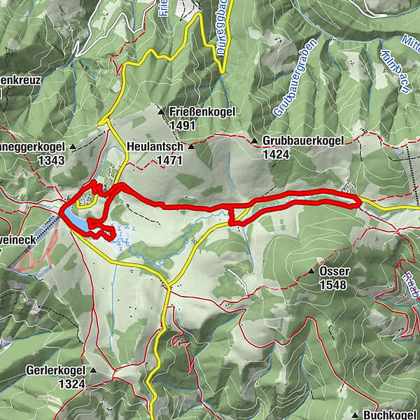
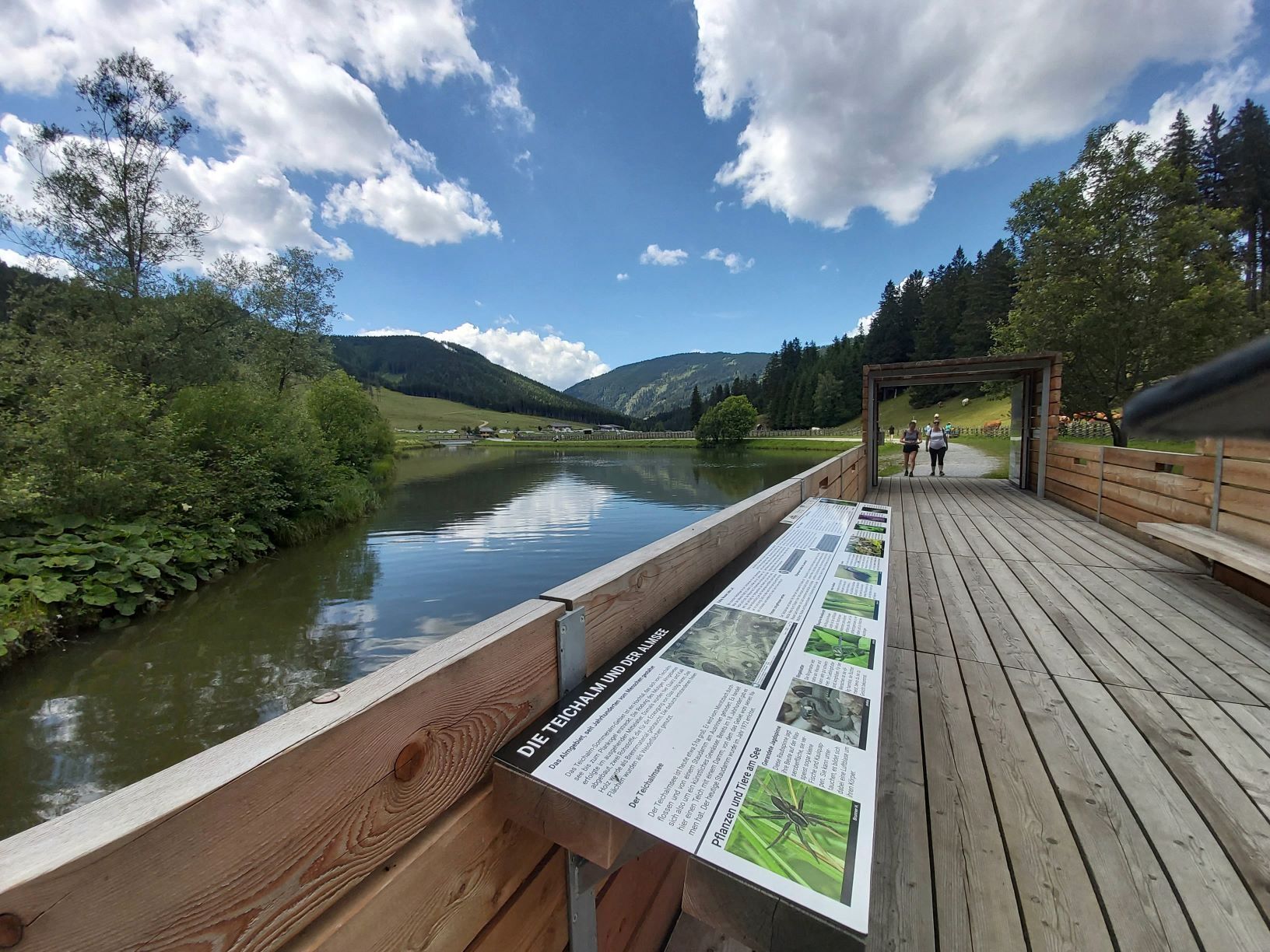
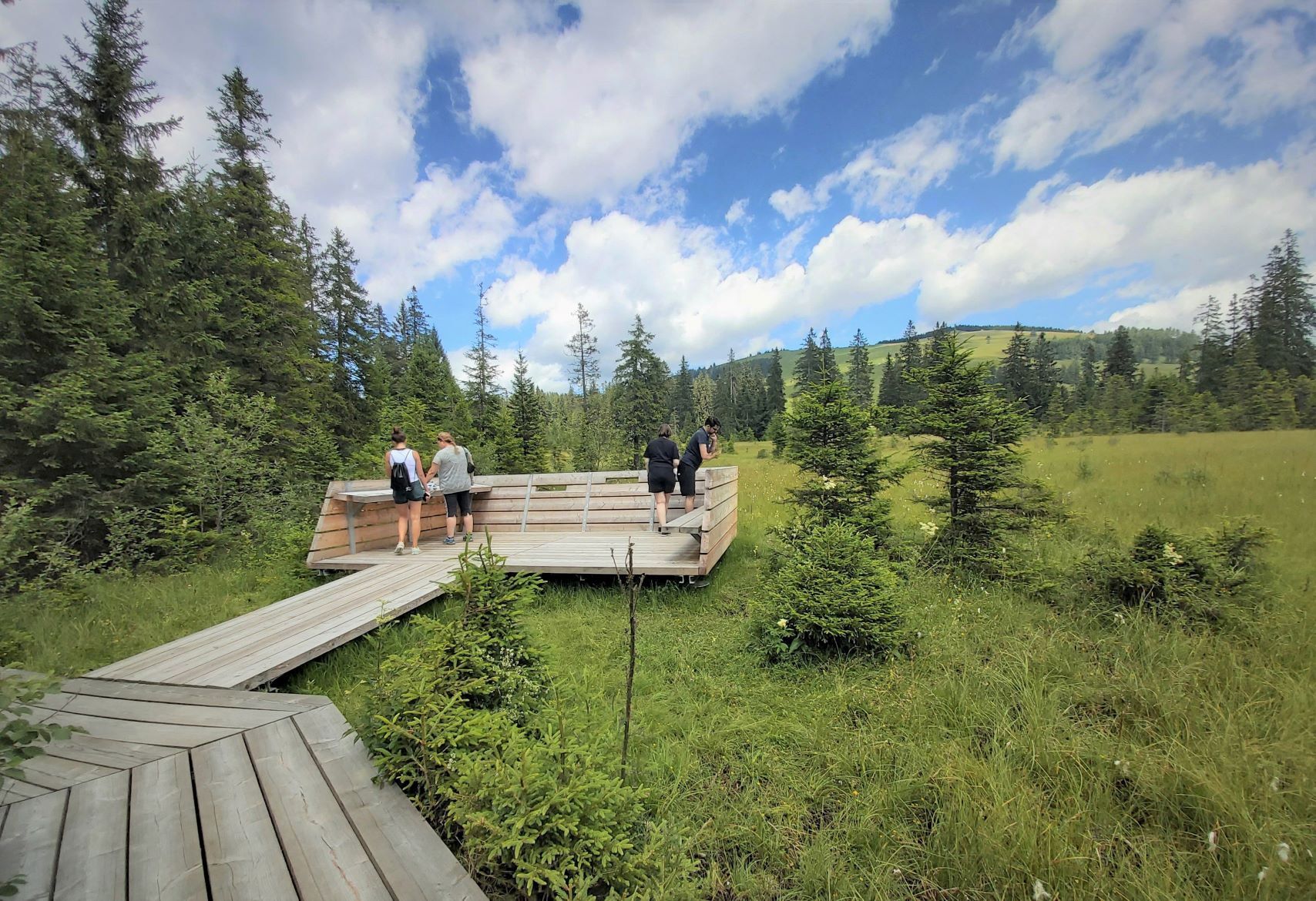
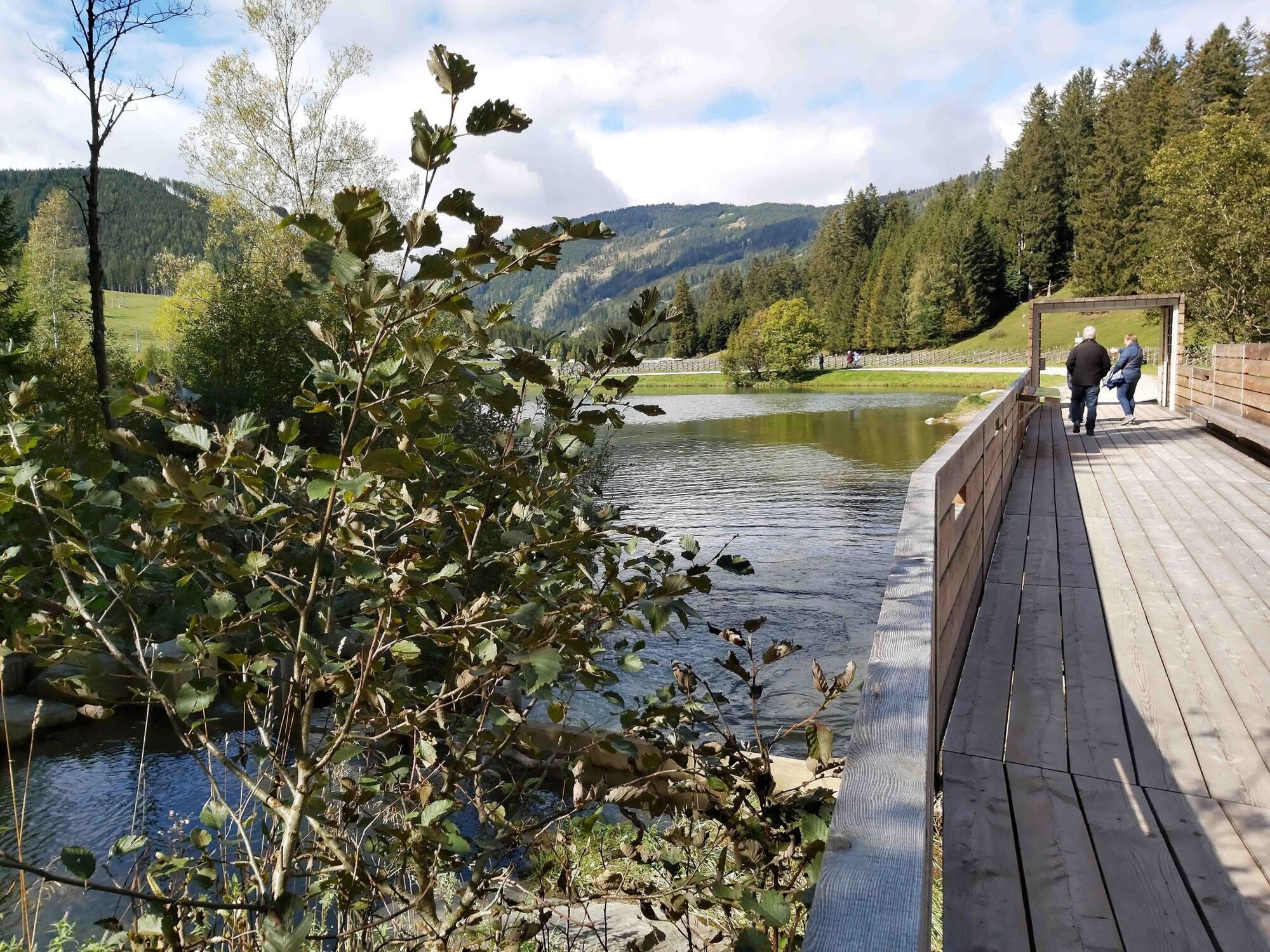
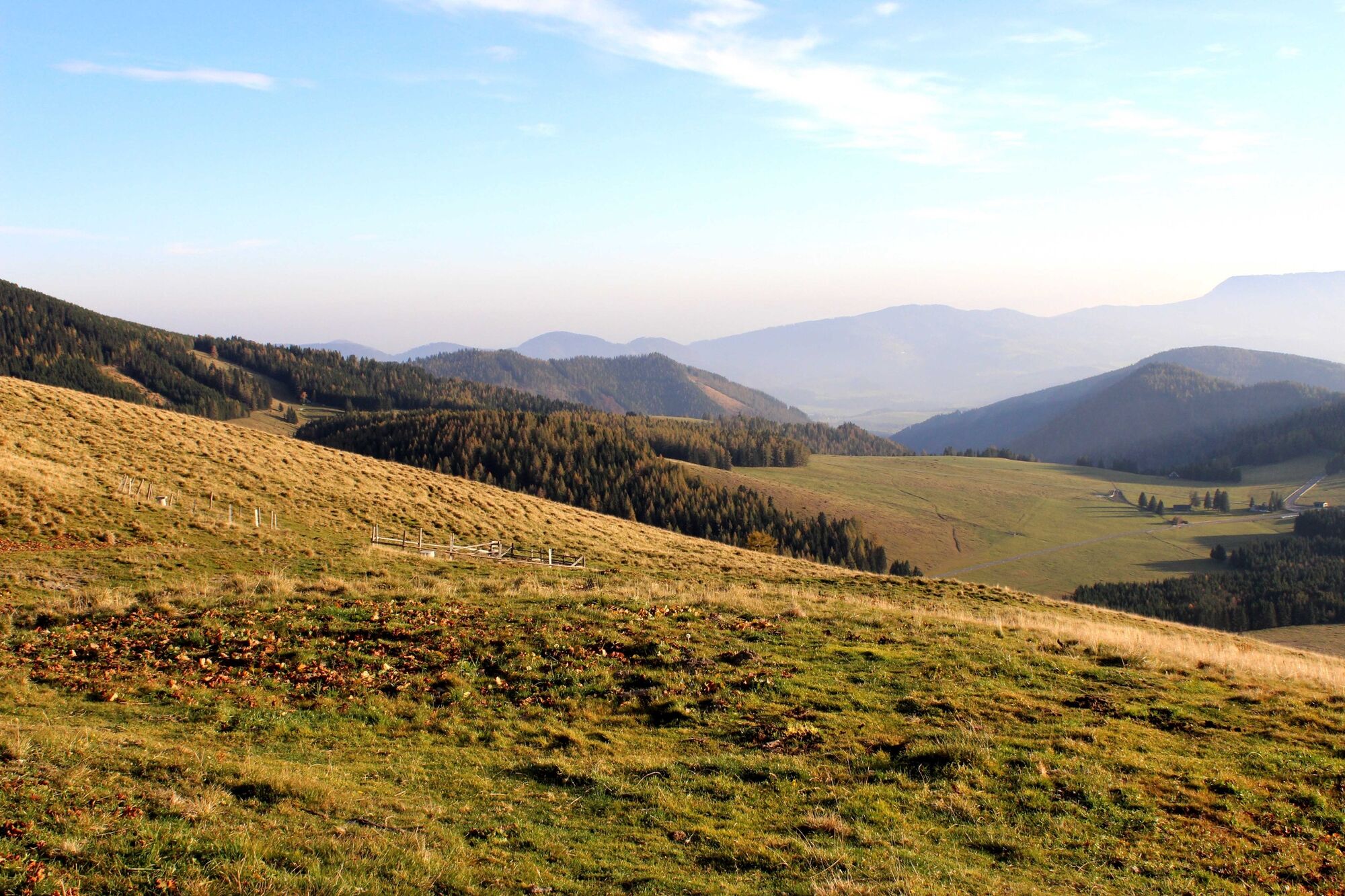
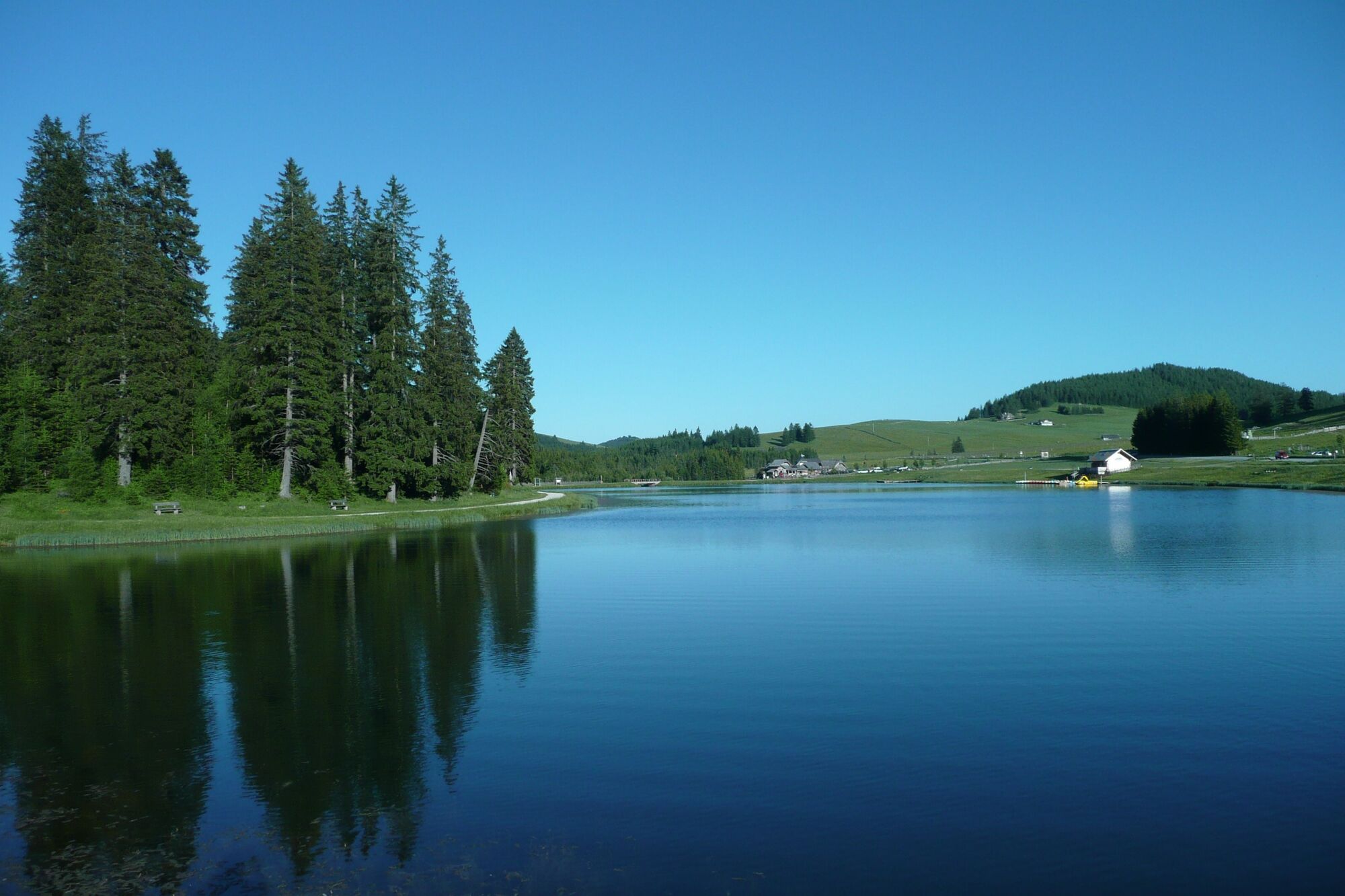
A leisurely round on the Teichalm in the Almenland Nature Park in Styria - with the Teichalmsee and with the moor nature trail.
- Difficoltà
-
facile
- Valutazione
-
- Percorso
-
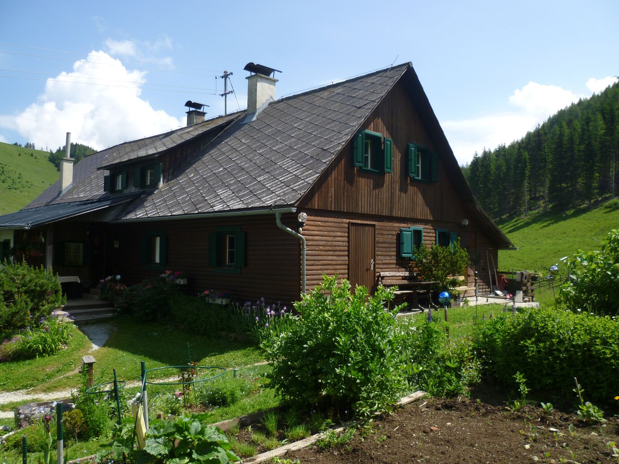
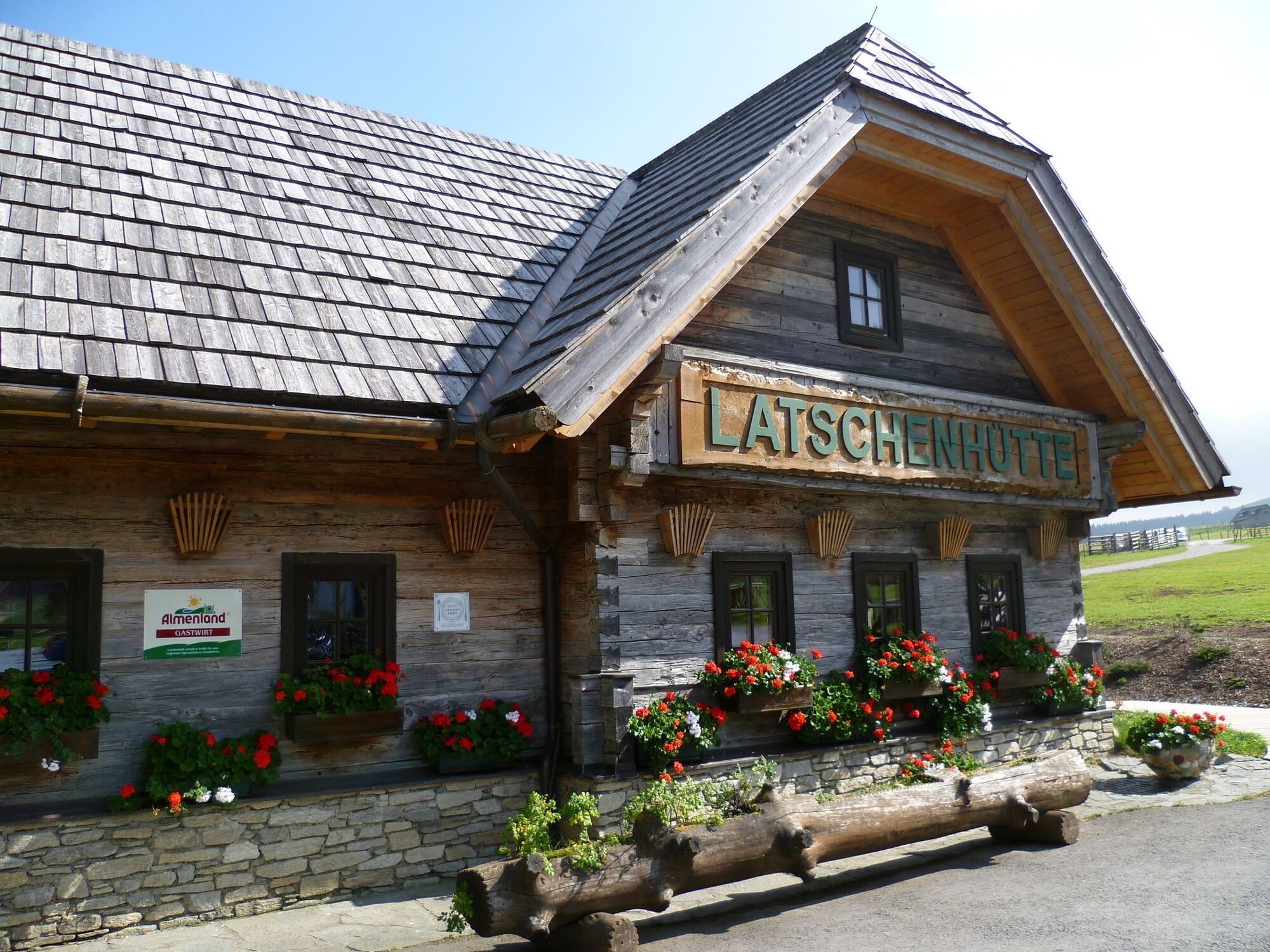
Holzmeister3,7 kmTeichalm8,1 kmAlmgasthof Teichwirt (1.200 m)8,2 kmLatschenhütte8,9 km
- La stagione migliore
-
genfebmaraprmaggiulugagosetottnovdic
- Punto più alto
- 1.227 m
- Destinazione
-
Teichalm Lake
- Profilo altimetrico
-


-

-
AutoreIl tour Teichalm - Round Trip with Moorlehrpfad è utilizzato da outdooractive.com fornito.
GPS Downloads


Info generali
Punto di ristoro
Flora
Promettente
Altri tour nelle regioni
-
Hochsteiermark
4066
-
Naturpark Almenland
1766
-
Fladnitz an der Teichalm
577


