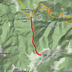
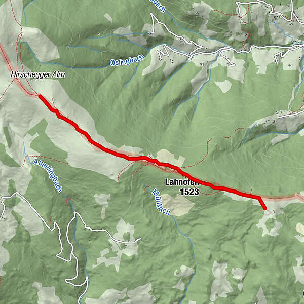
Dati percorsi
9,1km
1.412
- 1.733m
328hm
03:00h
- Descrizione rapida
-
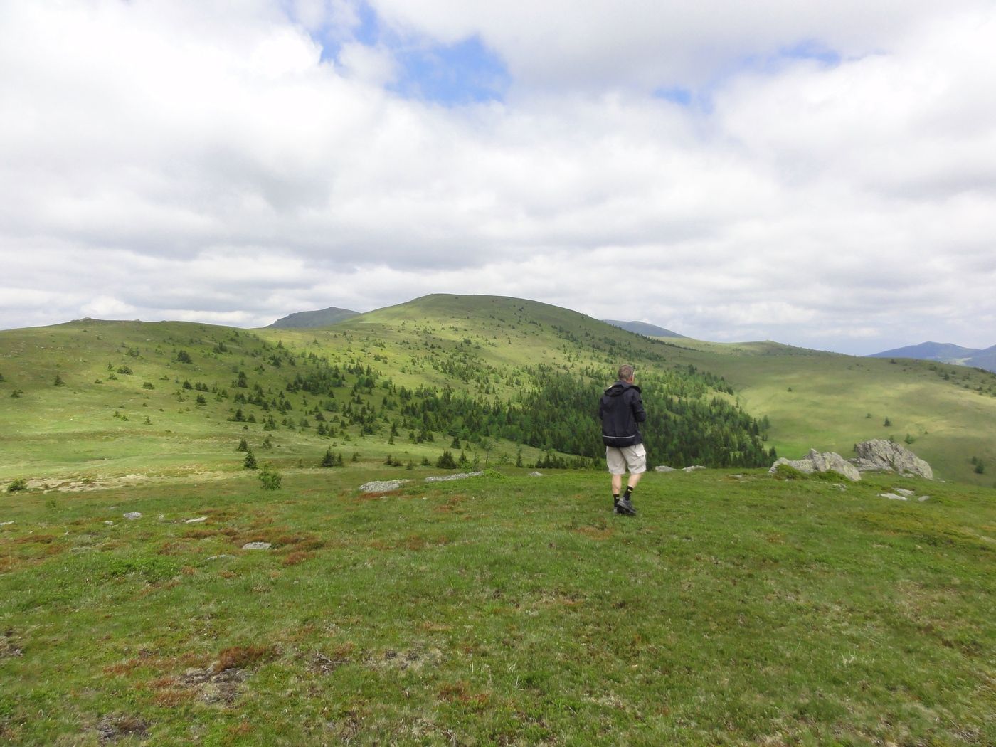
Höhenwanderung
- Valutazione
-
- Punto di partenza
-
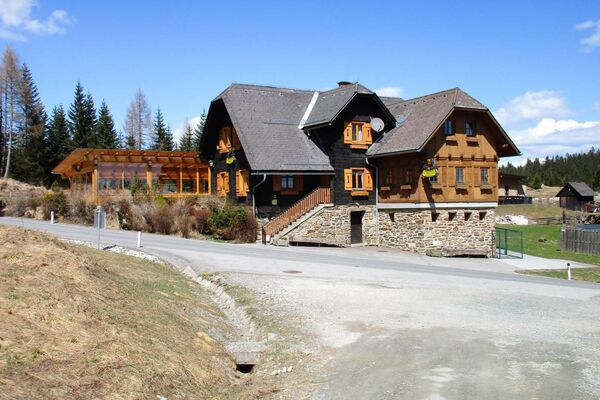
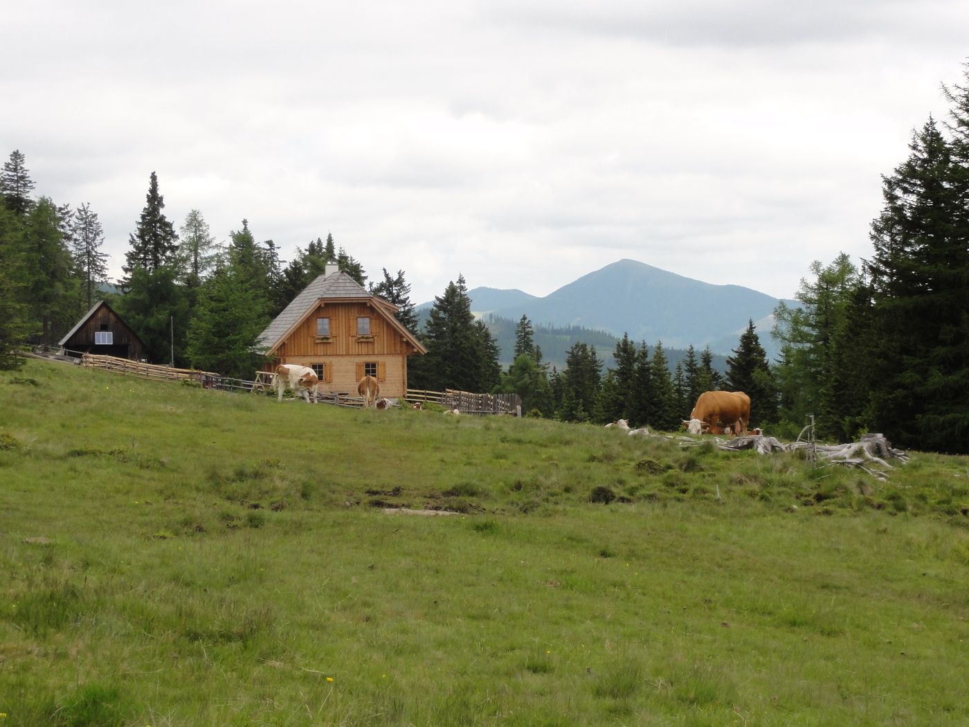
Knödelhütte
- Percorso
-
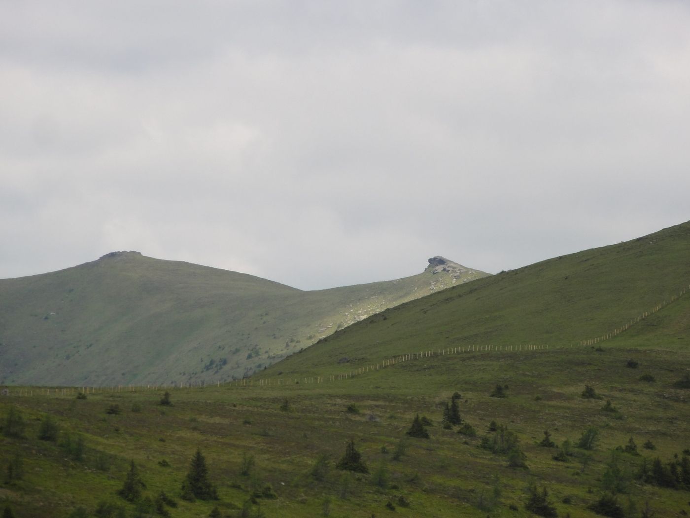
Lahnofen (1.523 m)1,1 kmBernsteinhütte2,1 km
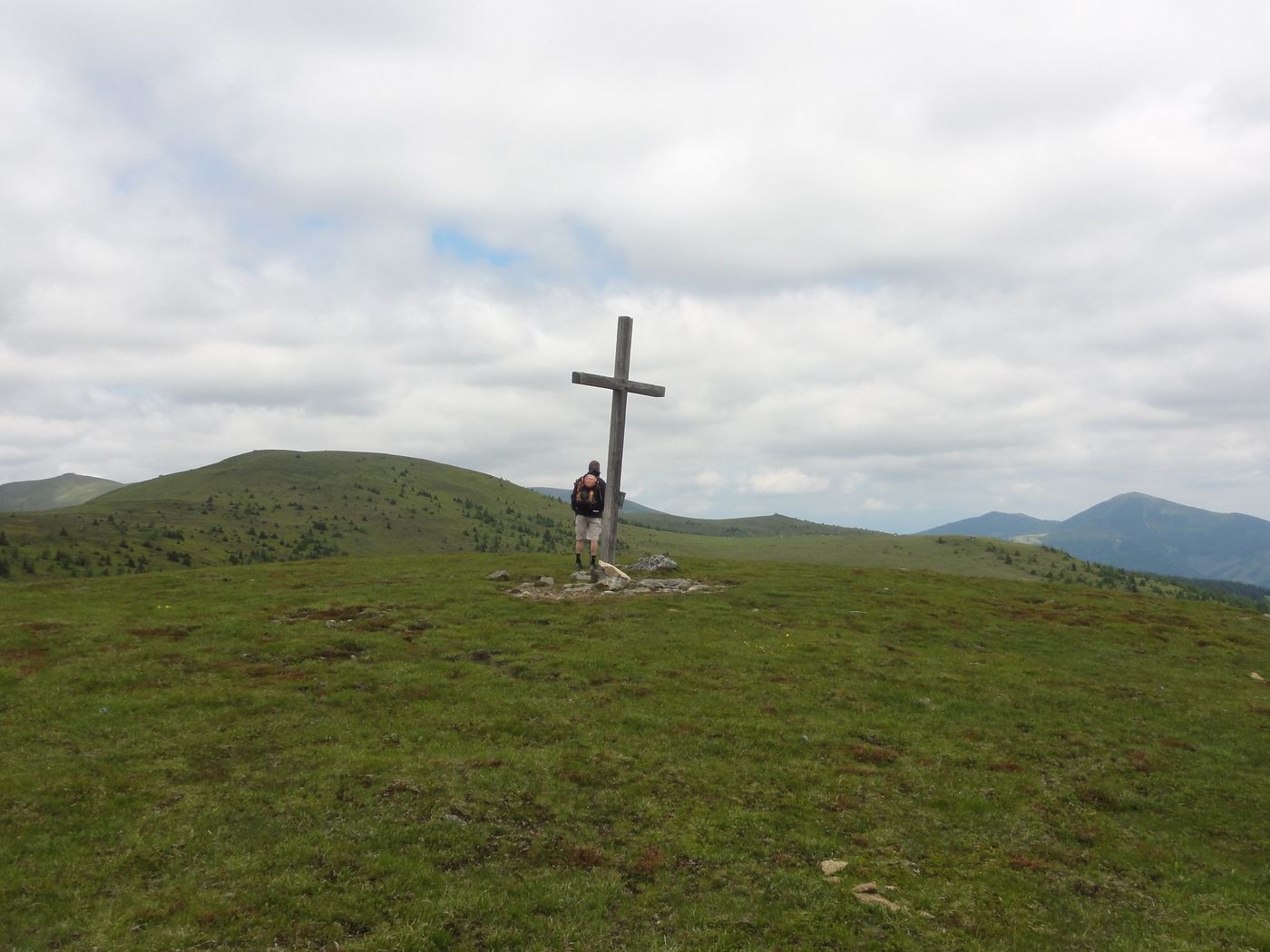
- Punto più alto
- 1.733 m
- Riposo/Ritiro
-
Knödelhütte, Bernsteinhütte
- Cartine
-
Österr. Karte 162, 188
GPS Downloads


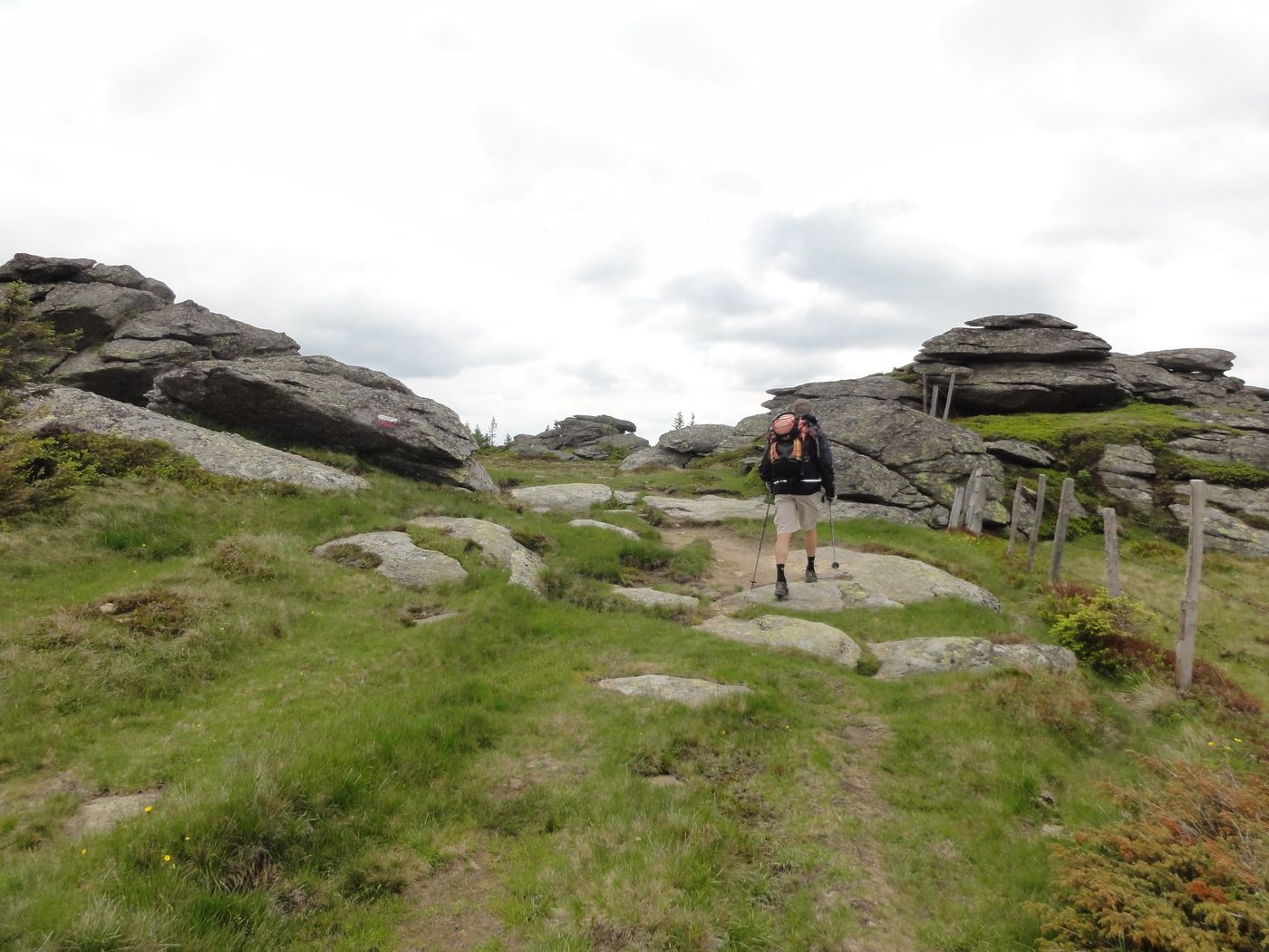
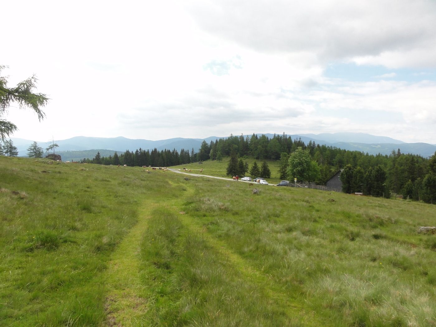
Condizioni dei sentieri
Asfalto
Ghiaia
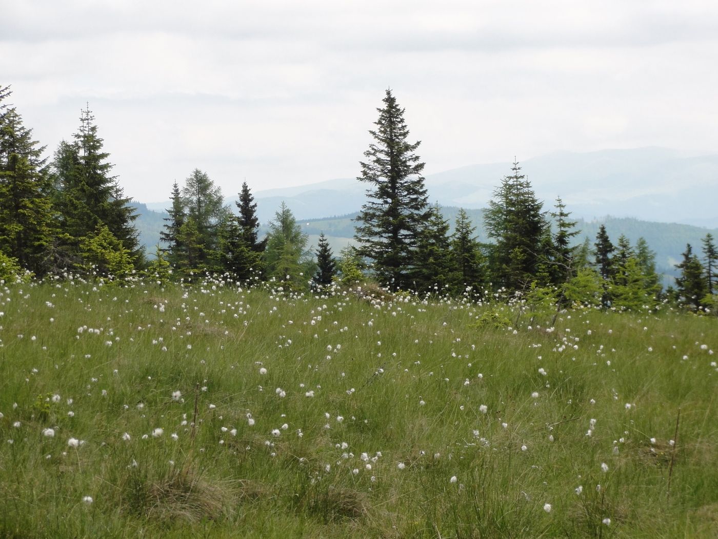
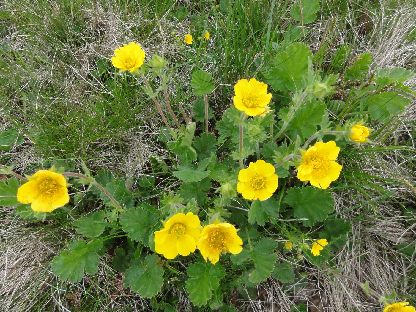
Prato
Foresta
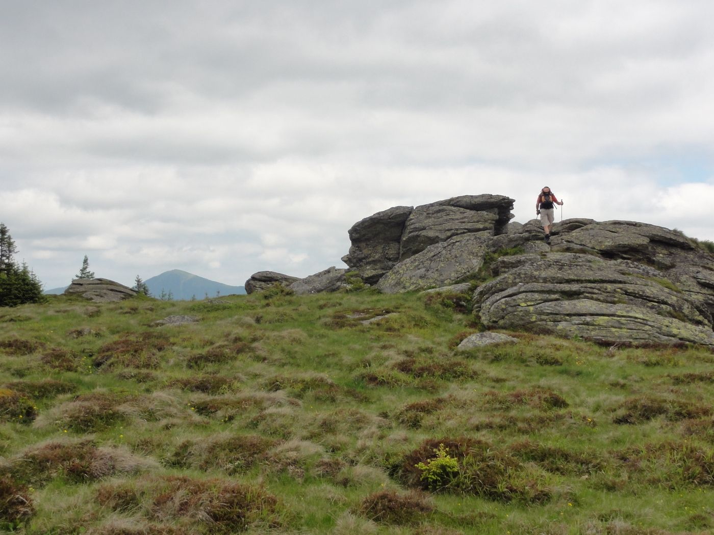
Roccia
Esposta
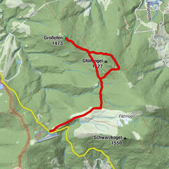
Altri tour nelle regioni
-
Erlebnisregion Murtal
1783
-
Lavanttal
611
-
Hirschegg-Pack
245