Stage 20 From Glacier to Wine North Route Karl Ludwig Haus - Mürzzuschlag

Escursionismo

© Naturpark Mürzer Oberland - Daniela Paul

© Steiermark - Das Grüne Herz

© (c) Steiermark Tourismus/Manfred Polansky - Manfred Polansky

© TV Hochsteiermark - Ute Gurdet

© TV Hochsteiermark - Ute Gurdet

© Wintersportmuseum

- Descrizione rapida
-
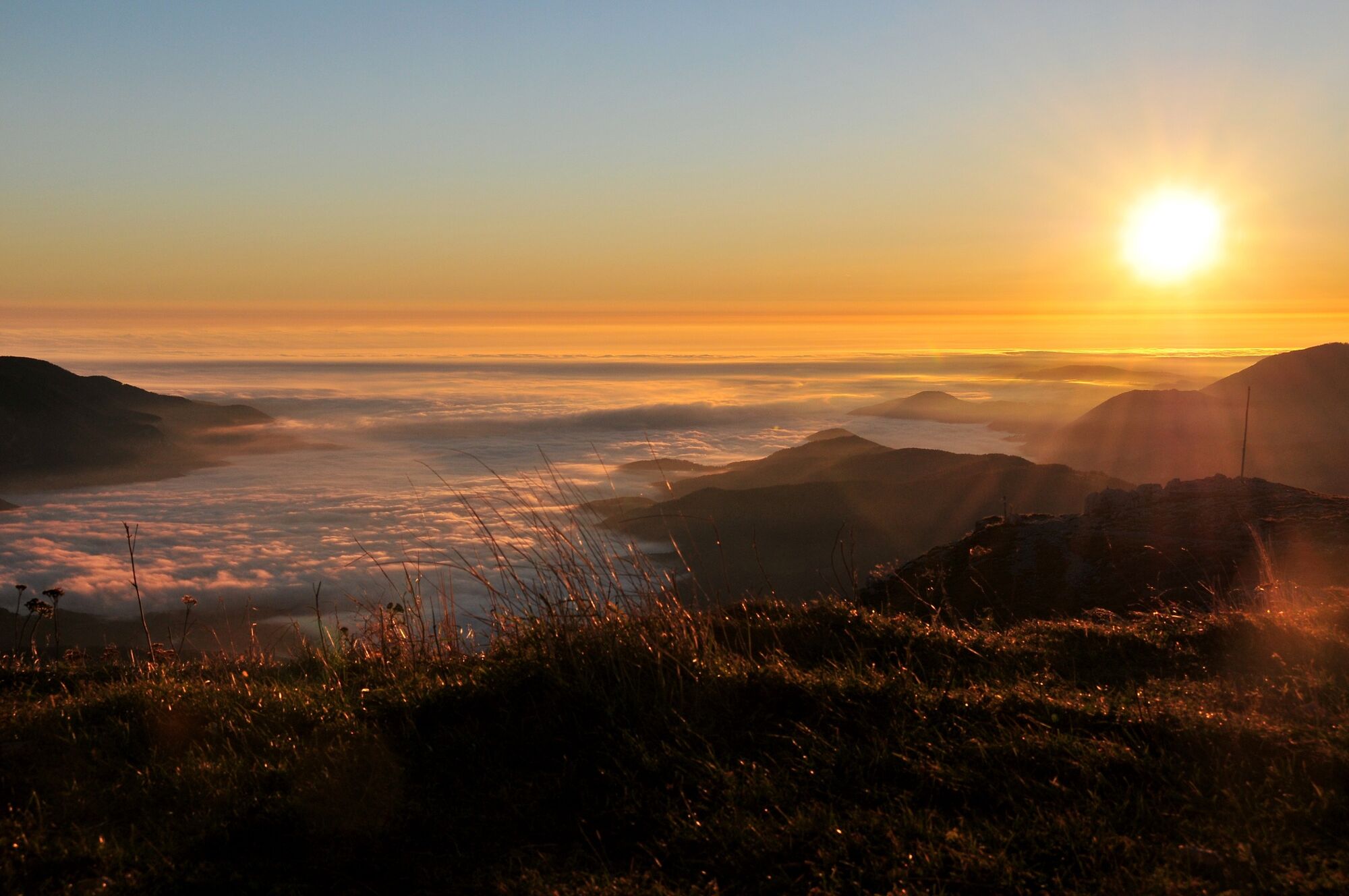
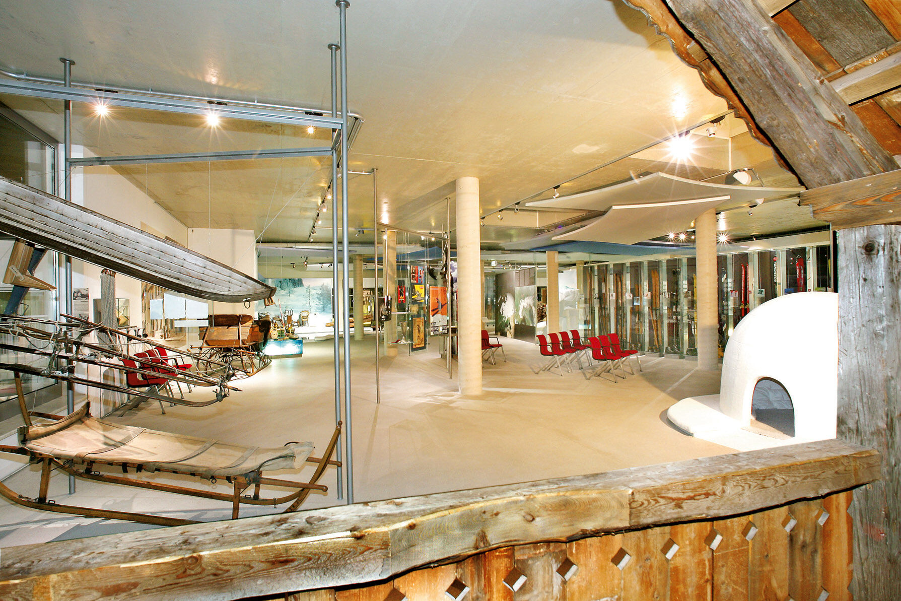
This stage of the hiking route "From Glacier to Wine" takes us from the alpine limestone massif of the Rax to the green mountains in the direction of the Fischbach Alps with their dense forests and gentle alpine pastures. The small town of Mürzzuschlag at the foot of the Semmering welcomes us as a stage stop. It is also the starting and end point of the UNESCO World Cultural and Natural Heritage Semmering Railway and surrounding landscape, and also boasts a surprisingly high number of museums.
- Difficoltà
-
intermedio
- Valutazione
-
- Percorso
-
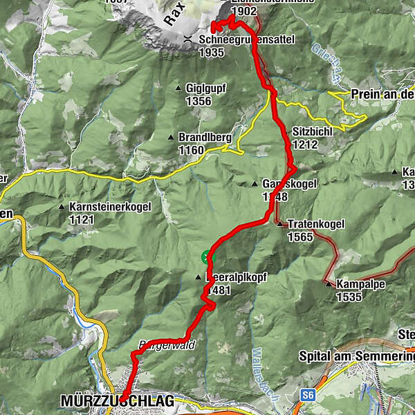
Törl (1.768 m)0,2 kmSiebenbrunnenkessel1,1 kmWaxriegelhaus2,4 kmHelenenquelle2,8 kmEdelweisshütte3,9 kmSitzbichl (1.212 m)5,2 kmPernreit18,8 kmMürzzuschlag19,7 km
- La stagione migliore
-
genfebmaraprmaggiulugagosetottnovdic
- Punto più alto
- 1.799 m
- Destinazione
-
Mürzzuschlag
- Profilo altimetrico
-


-

-
AutoreIl tour Stage 20 From Glacier to Wine North Route Karl Ludwig Haus - Mürzzuschlag è utilizzato da outdooractive.com fornito.
GPS Downloads


Info generali
Punto di ristoro
Culturale/Storico
Flora
Fauna
Promettente
Altri tour nelle regioni
-
Hochsteiermark
4084
-
Waldheimat
2198
-
Mürzzuschlag
591


