


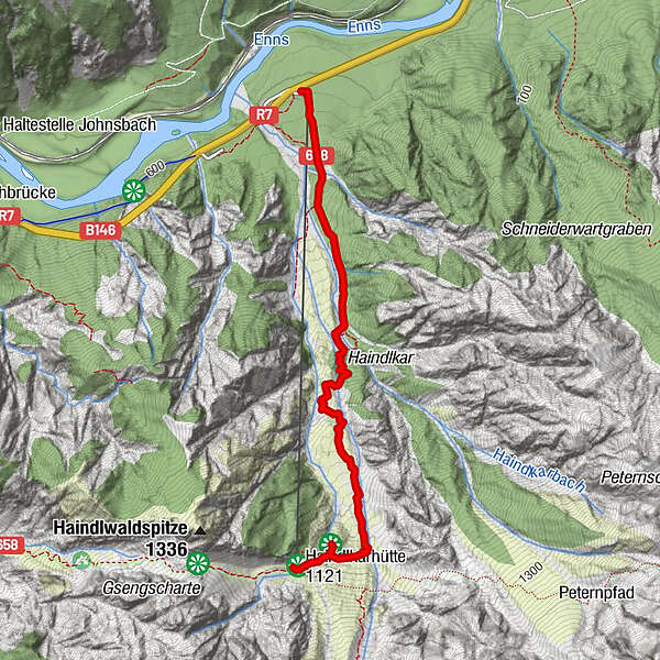
Dati percorsi
2,67km
614
- 1.118m
491hm
491hm
02:30h
- Descrizione rapida
-
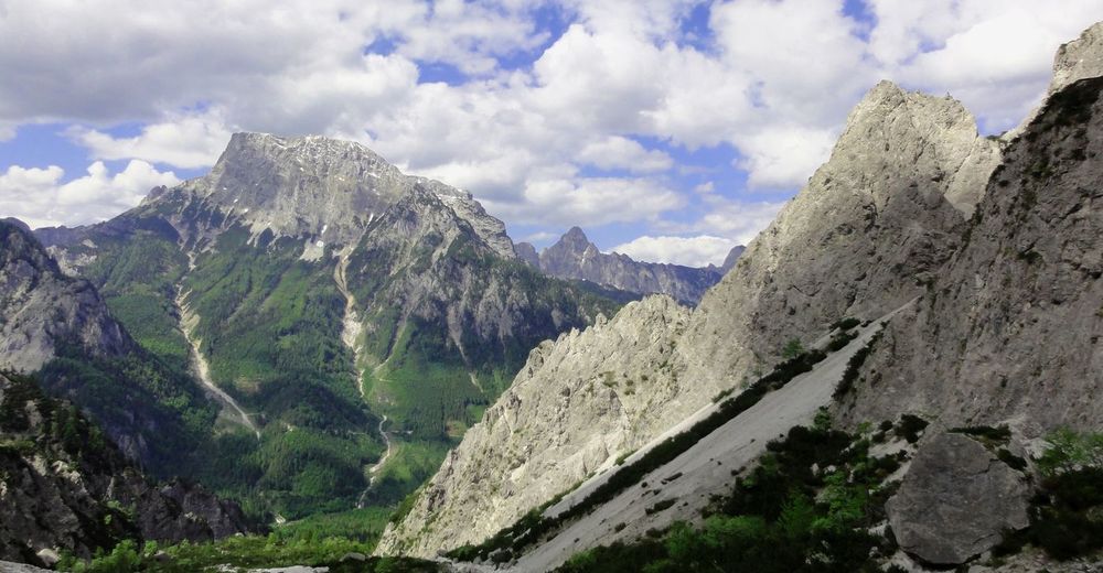
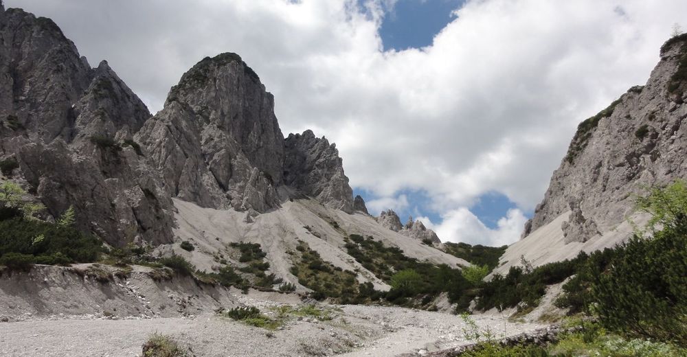
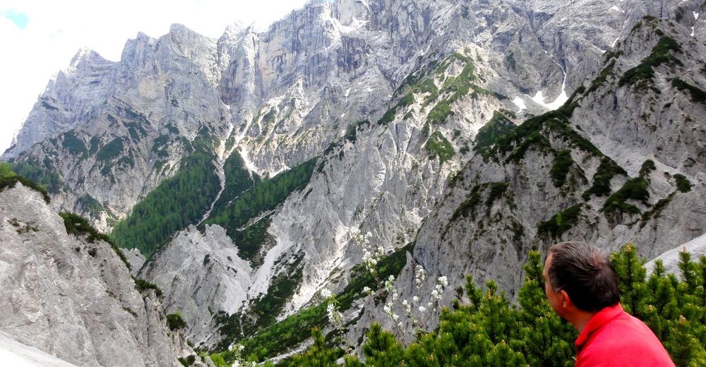
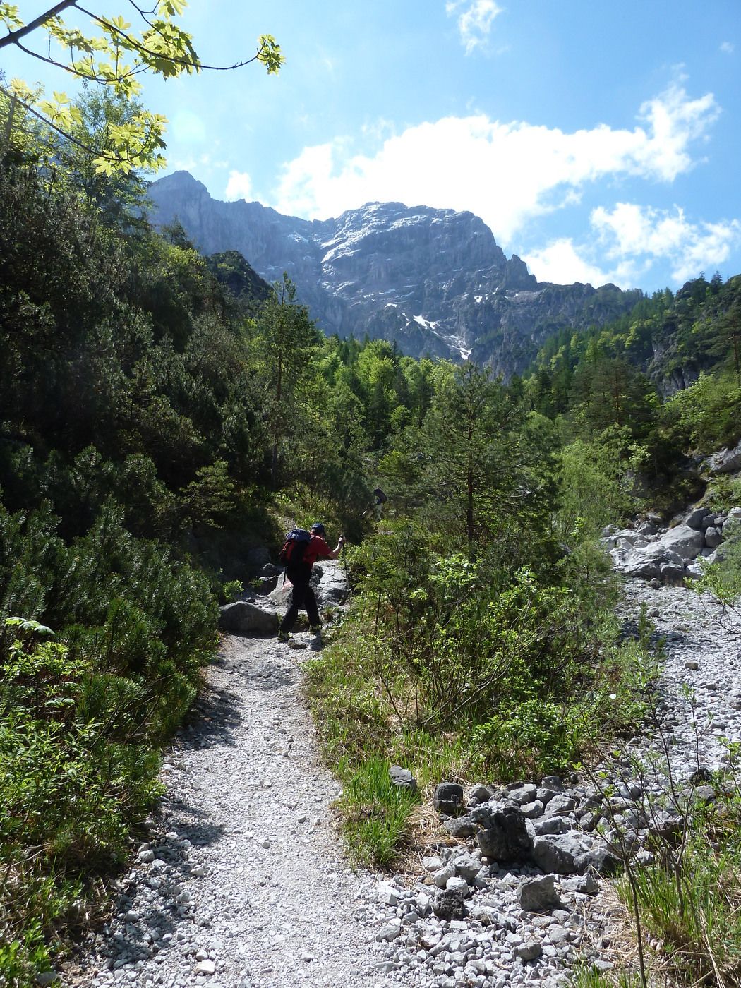
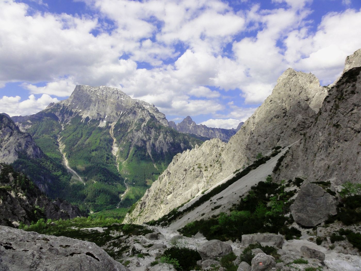
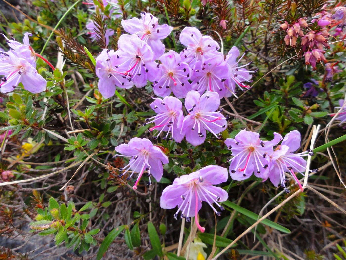
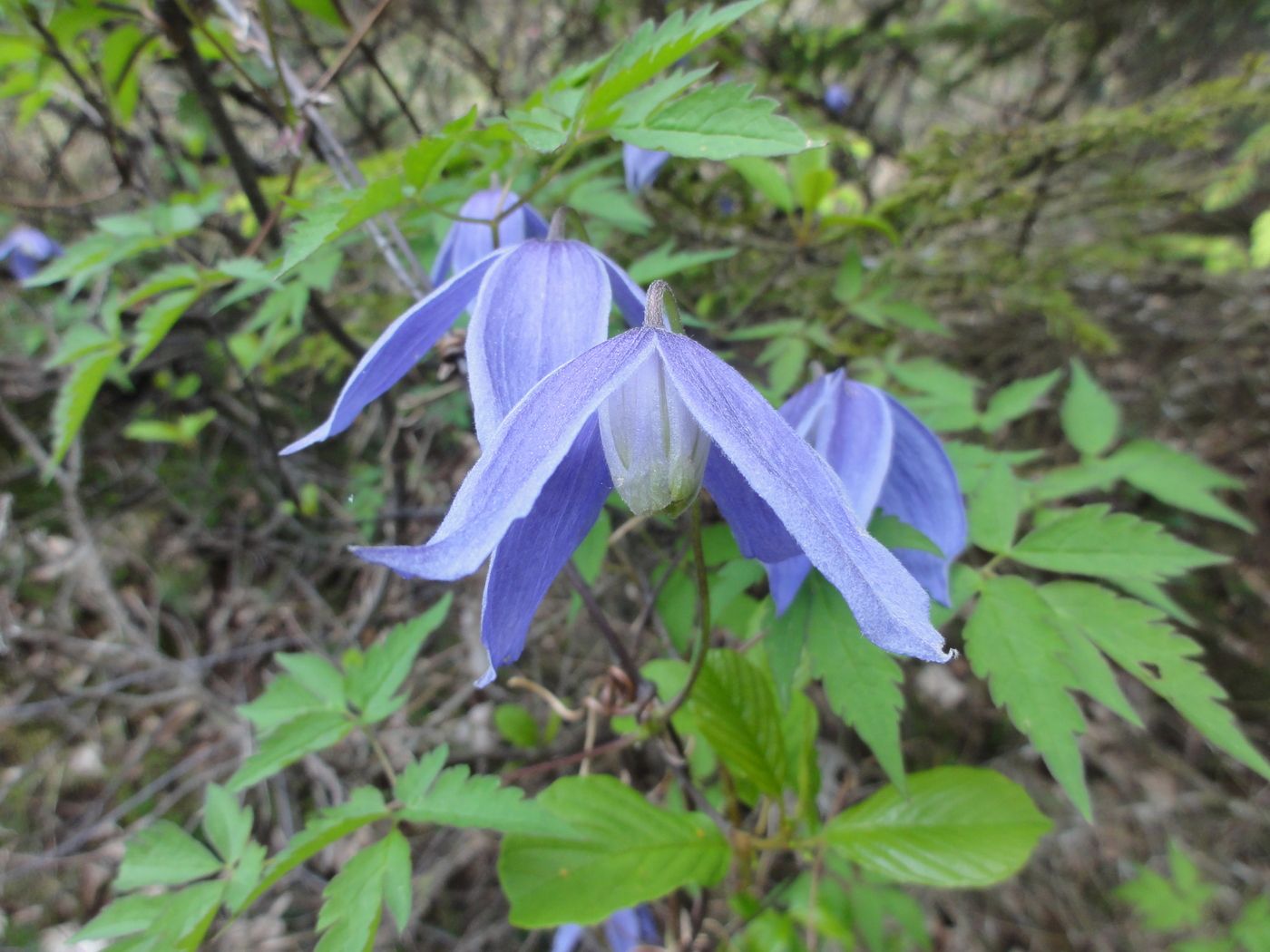
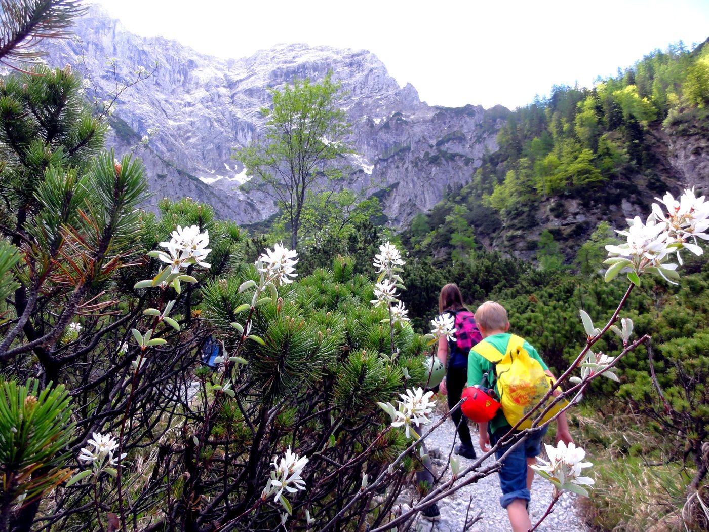
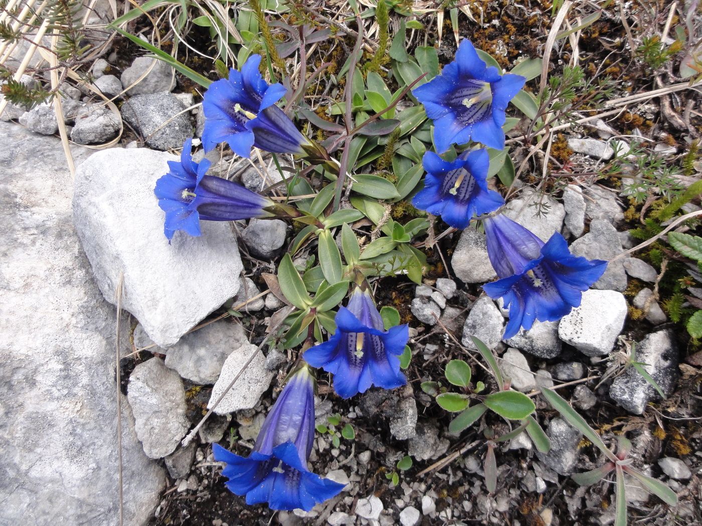
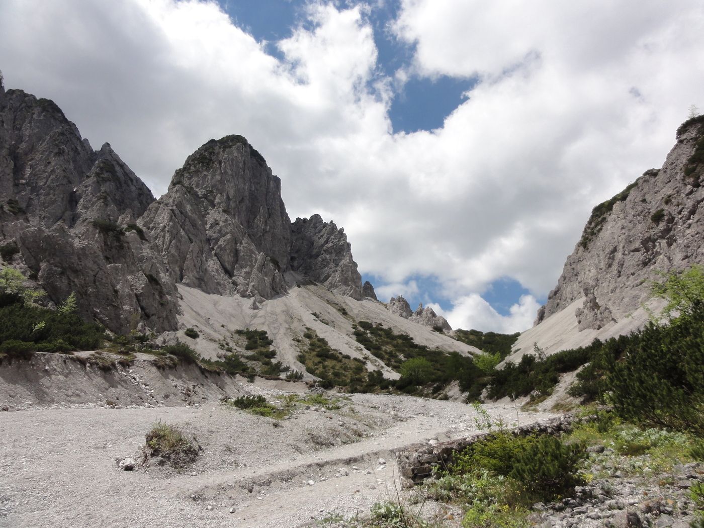
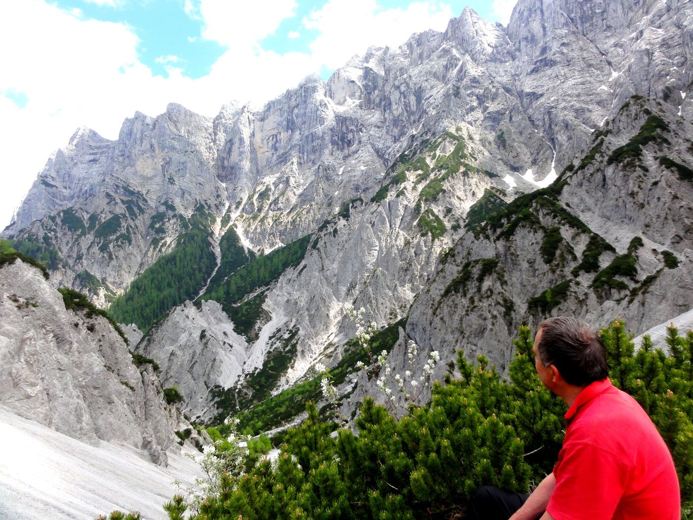
großartige Felslandschaft
- Valutazione
-
- Punto di partenza
-
Parkplatz Haindlkarhütte neben der Ennstalbundesstrasse
- Percorso
-
Haindlkarhütte2,6 km
- Punto più alto
- 1.118 m
- Riposo/Ritiro
-
Haindlkarhütte
- Cartine
-
Österr. Karte Nr. 100 Hieflau oder AV Karte Nr. 16 Ennstaler Alpen, Gesäuse

GPS Downloads


Condizioni dei sentieri
Asfalto
Ghiaia
Prato
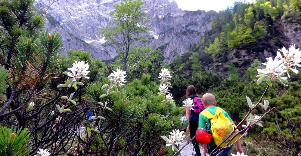
Foresta
Roccia
Esposta
Altri tour nelle regioni
-
Gesäuse
2224
-
Steyr und die Nationalpark Region
1371
-
Treglwang
294


")


