


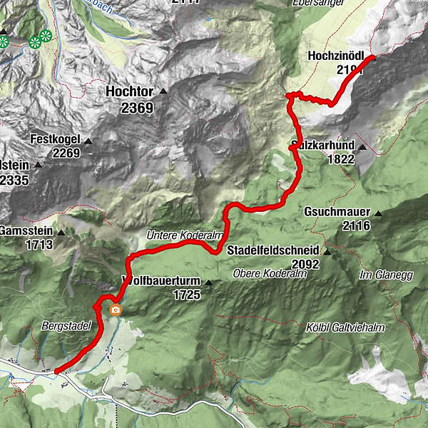
Dati percorsi
7,71km
873
- 2.149m
1.287hm
1.287hm
06:45h
- Descrizione rapida
-
Guter Einstieg für Wanderungen im Gesäuse.
- Difficoltà
-
intermedio
- Valutazione
-
- Punto di partenza
-
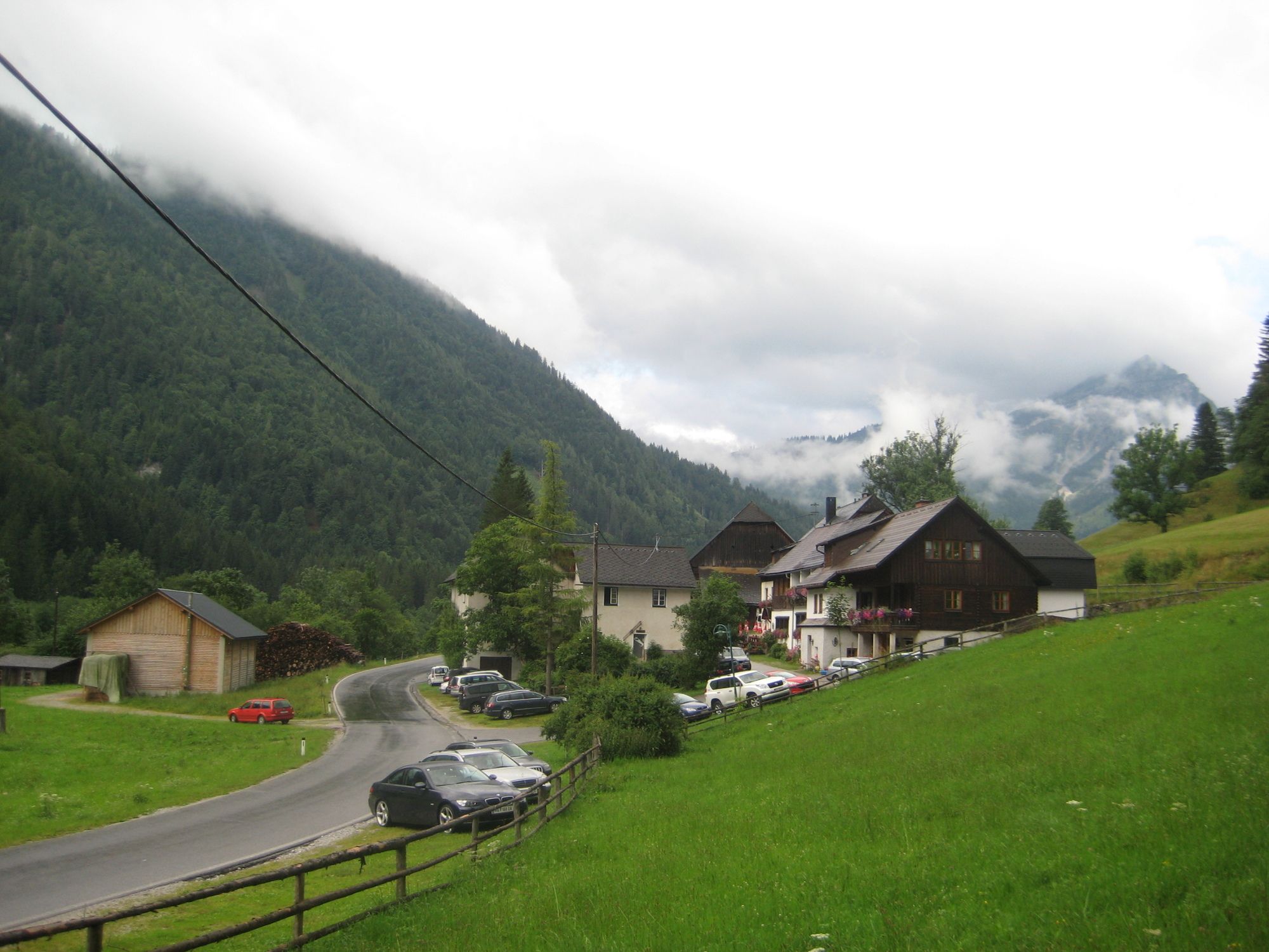
Ghf. Kölblwirt 860m
- Percorso
-
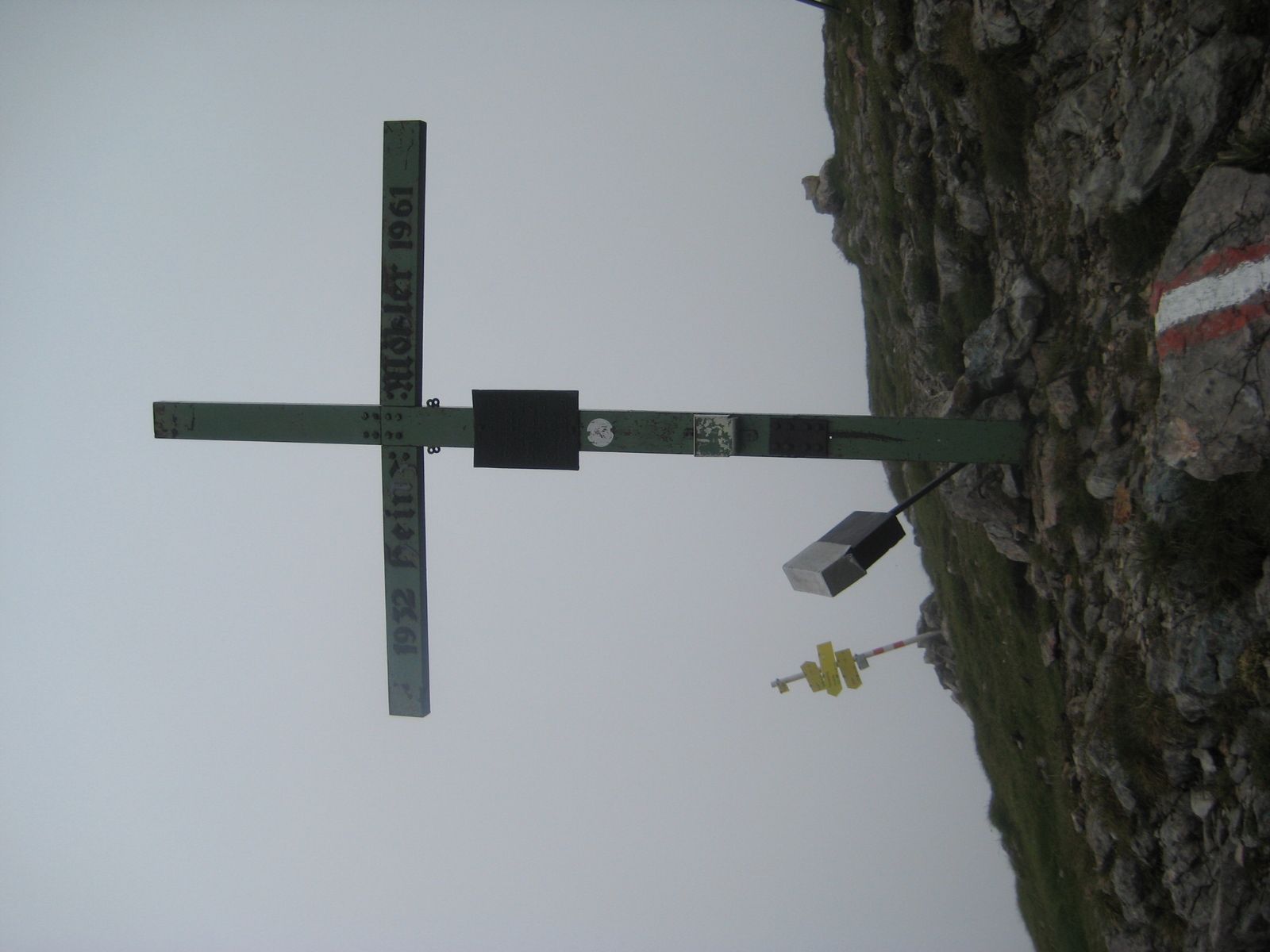
Wolfbauer Wasserfall1,5 kmUntere Koderalm2,7 kmGamsbrunnen5,5 kmHesshütte6,2 kmHochzinödl (2.191 m)7,6 km
- La stagione migliore
-
genfebmaraprmaggiulugagosetottnovdic
- Punto più alto
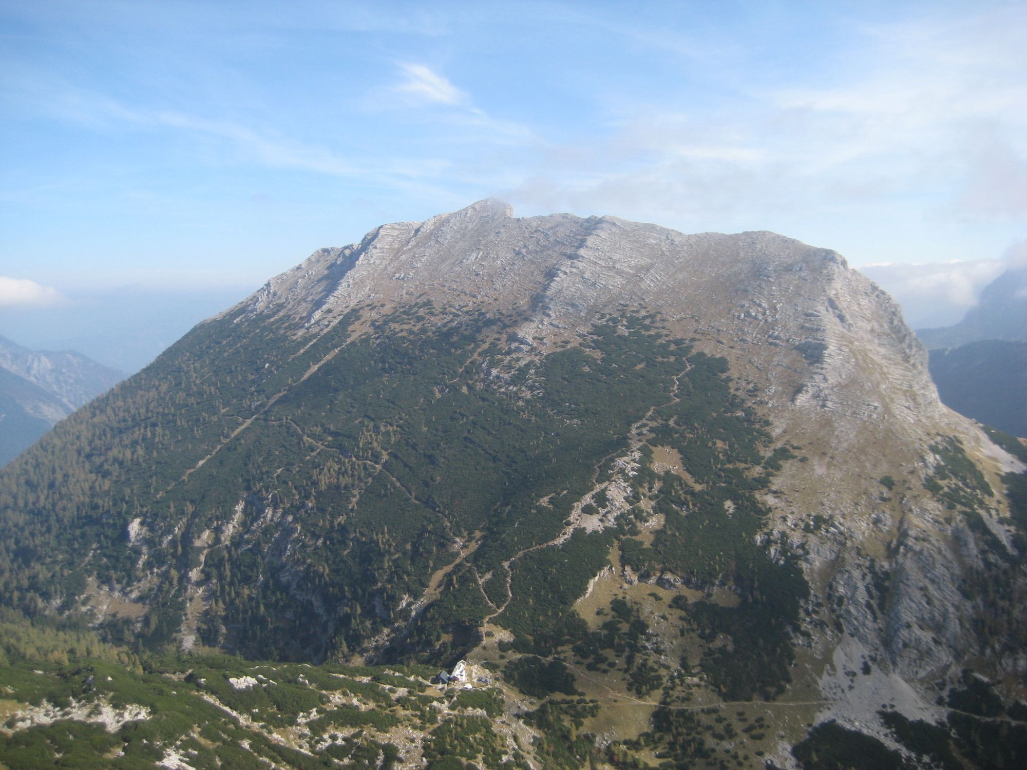
- Hochzinödl (2.149 m)
- Riposo/Ritiro
-
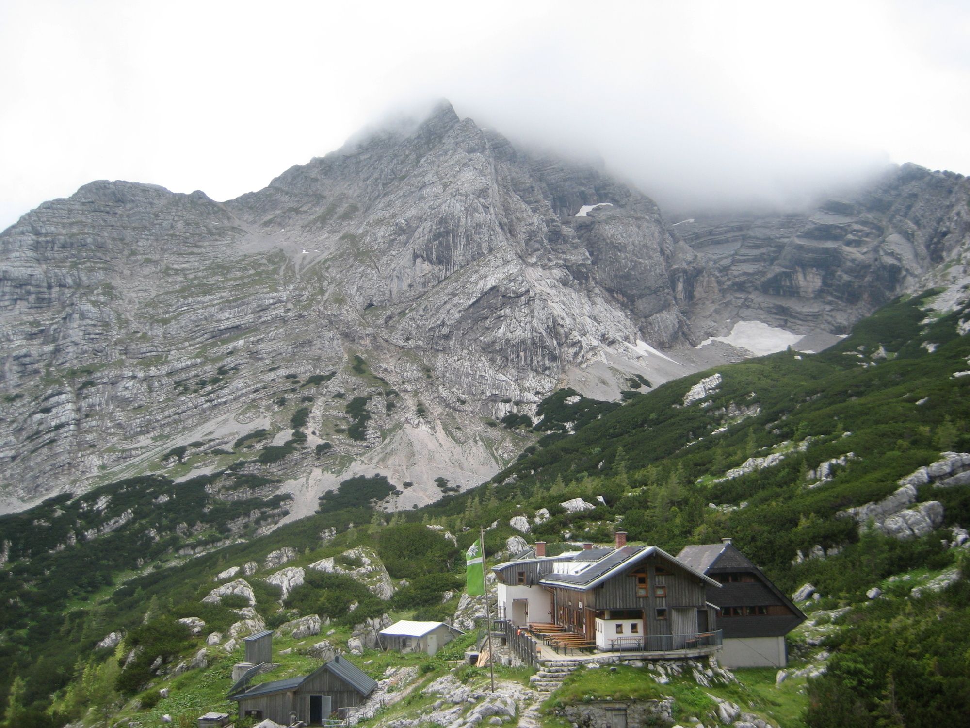
Heßhütte 1.699m

GPS Downloads


Condizioni dei sentieri
Asfalto
Ghiaia
Prato
Foresta
Roccia
Esposta


